Elevation of South Bend, NE, USA
Location: United States > Nebraska > Cass County >
Longitude: -96.290713
Latitude: 40.998915
Elevation: 331m / 1086feet
Barometric Pressure: 97KPa
Elevation Map:
Satellite Map:
Related Photos:

at first blush

Strategically placed sun @ Strategic Space & Air Museum

Sunset (A Worm's-Eye View)
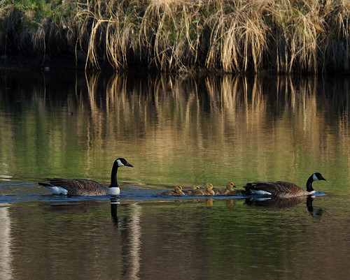
Families were out enjoying the day.

River View at Sunrise

Gateway to Heaven ~ Explore 01/06/2012

Habu Pressure Suit
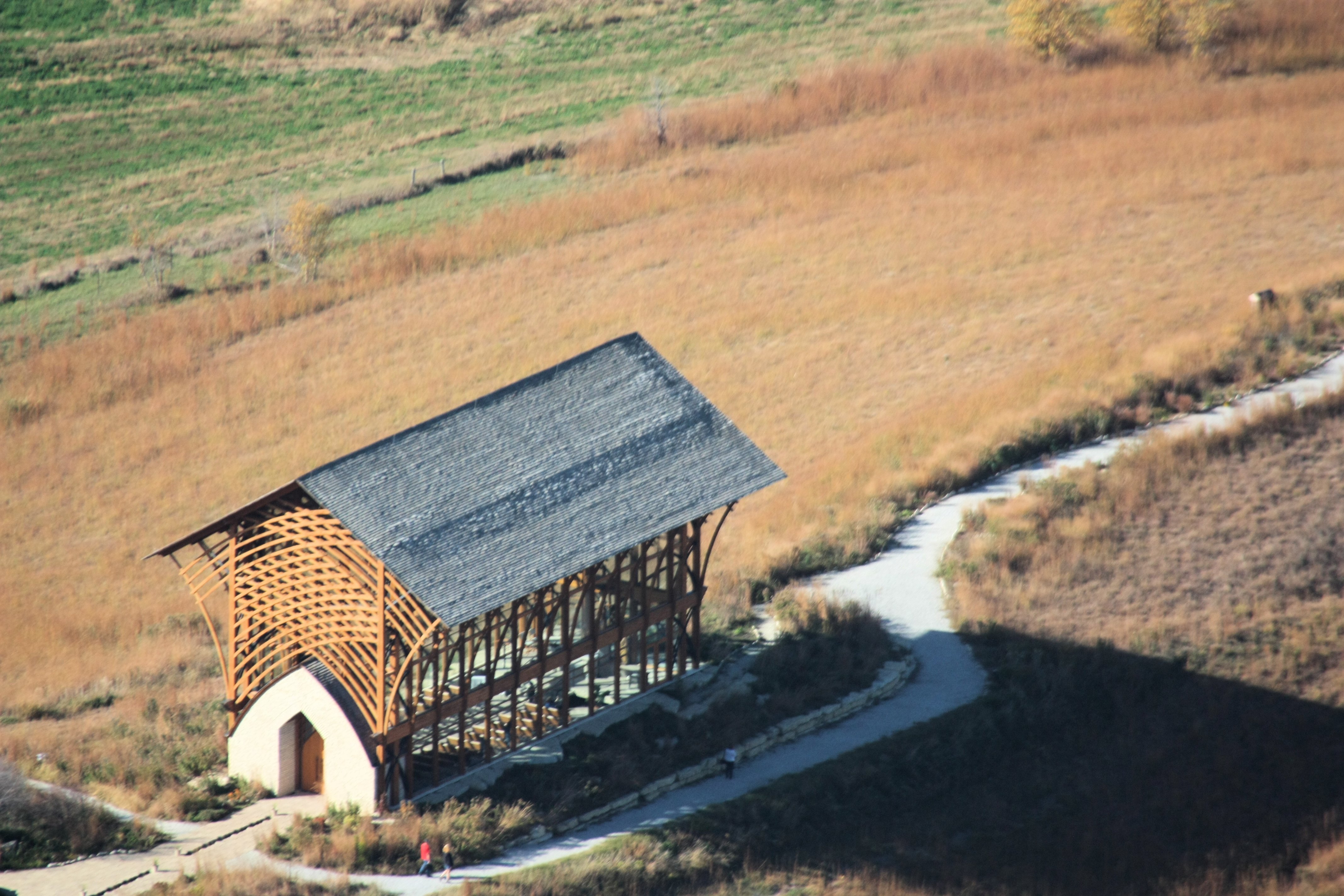
Holy Family Shrine

Blue Scout

side view of chapel
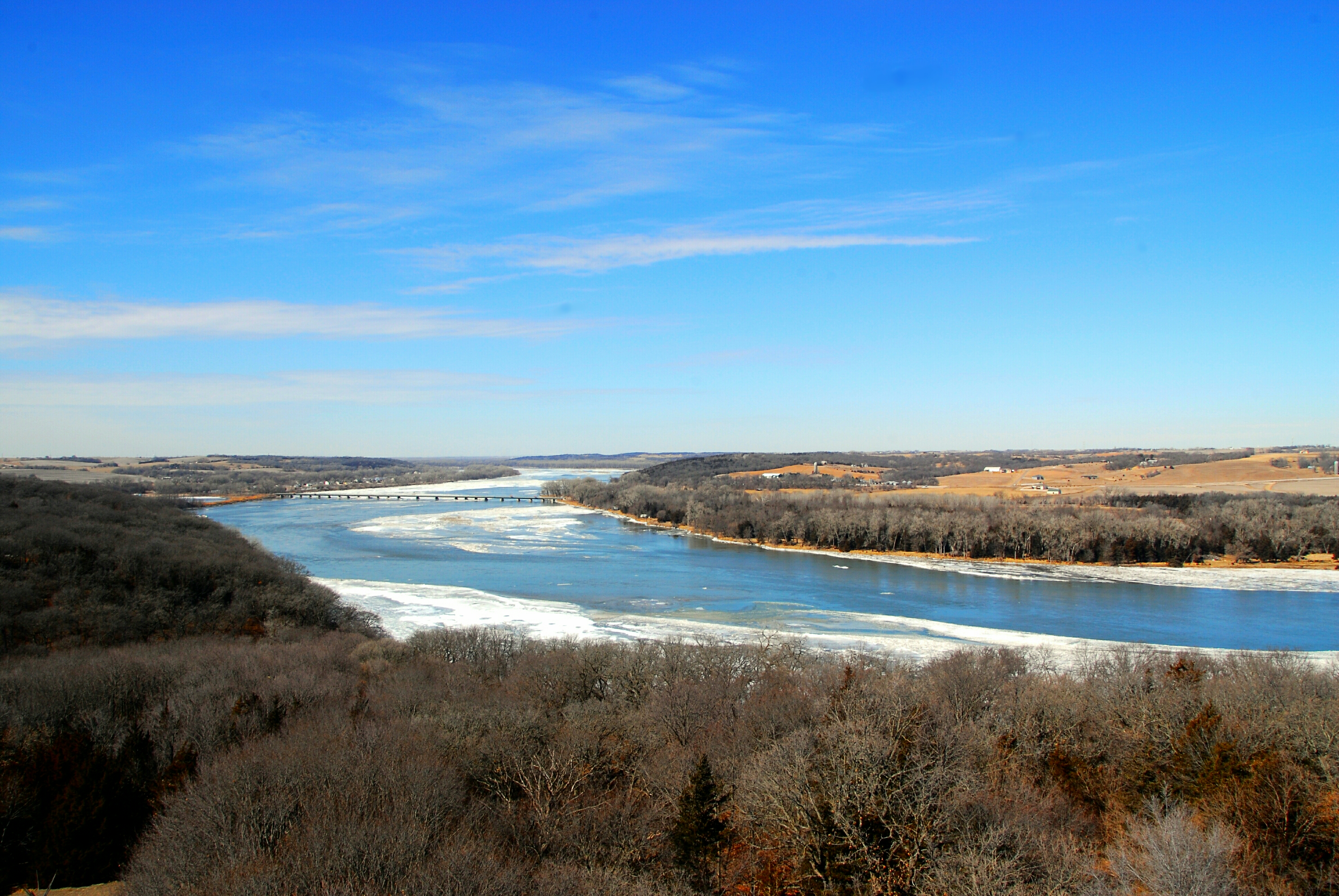
Platte River Overlook

Black Bear, Hungry Bear!

View from the Top

Summer Evenings

Downtown Christmas

2nd Street Bridge
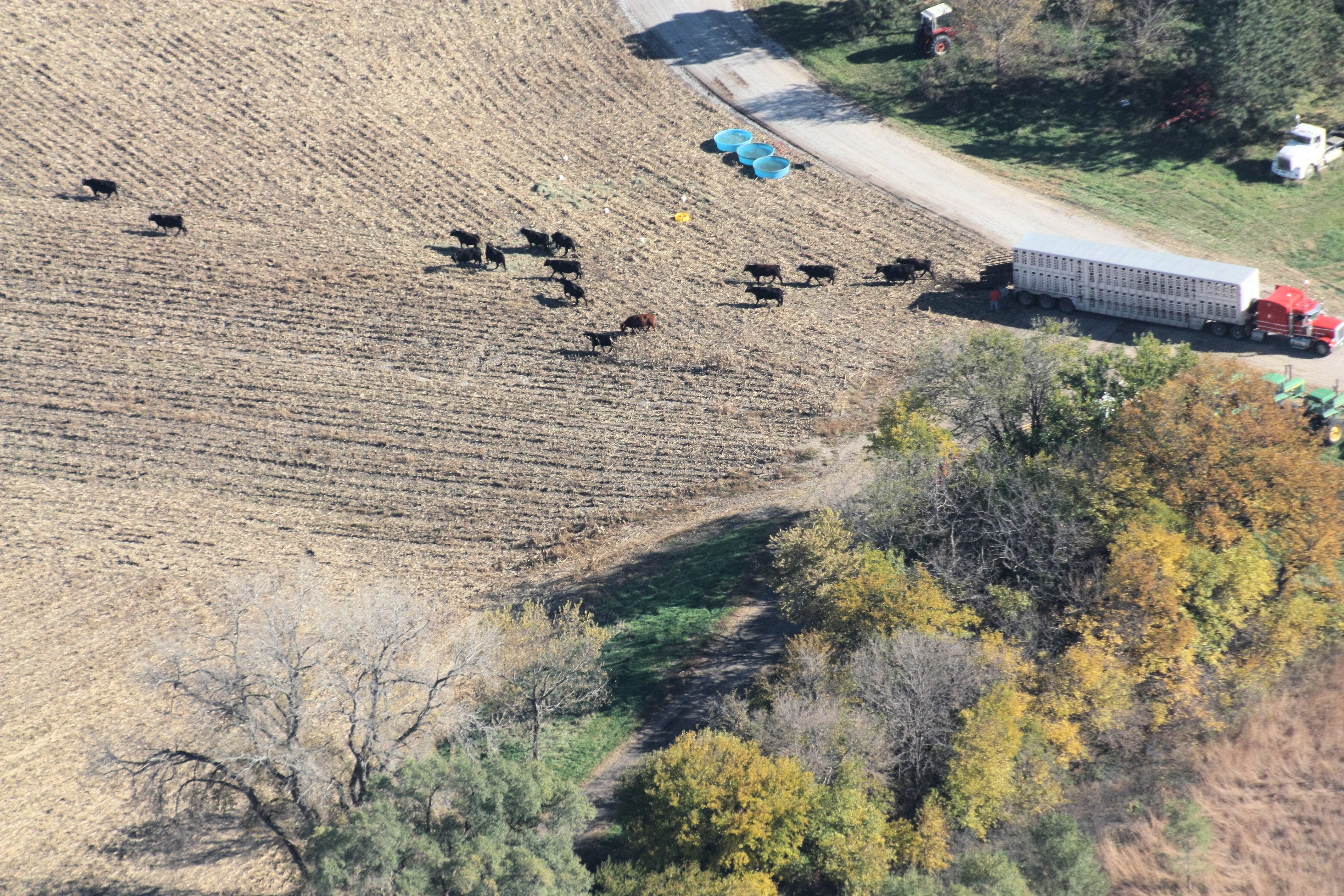
The cattle get off the truck 2 by 2 hurrah....hurrah
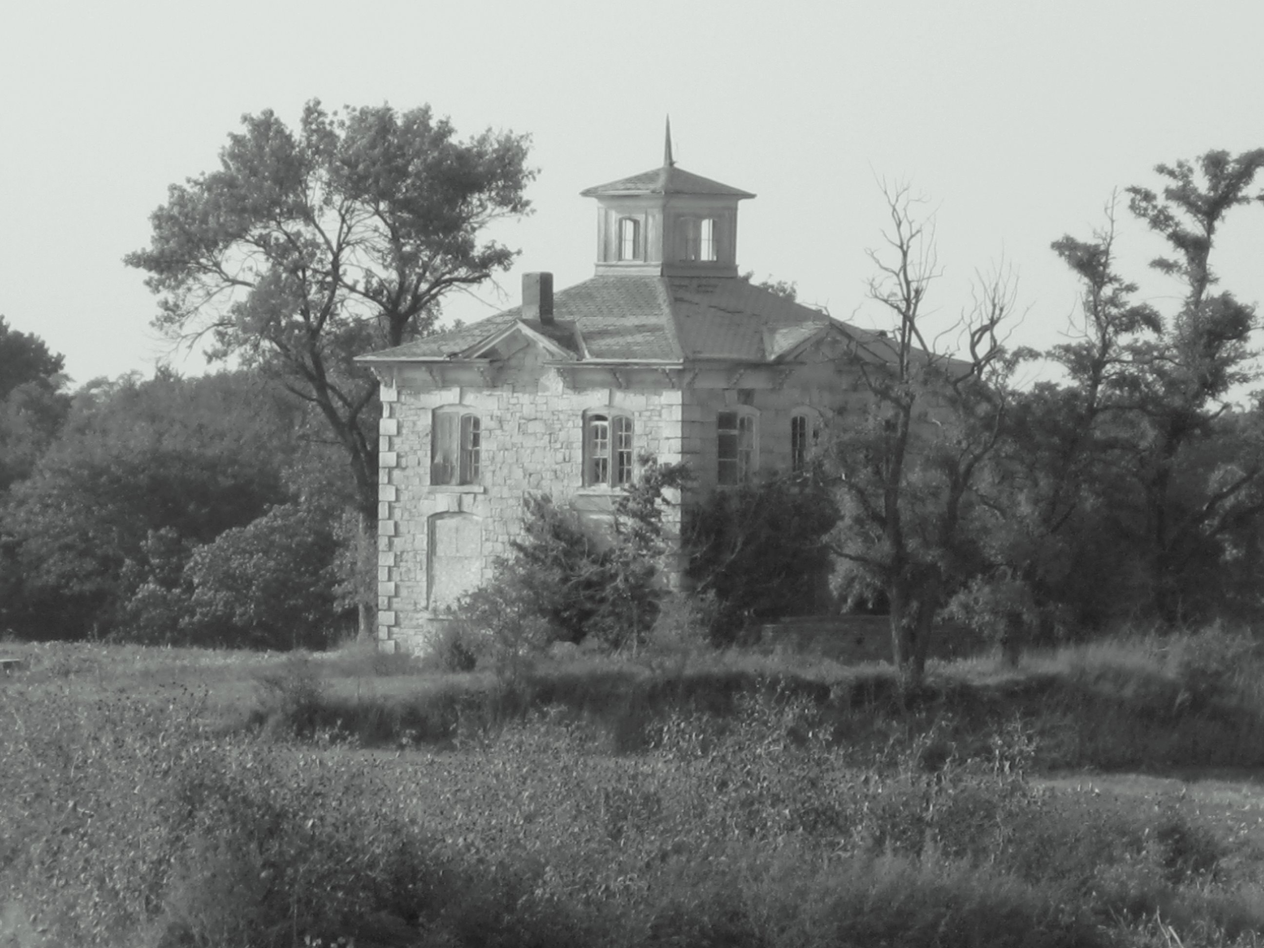
Israel Beetison mansion

inside or out
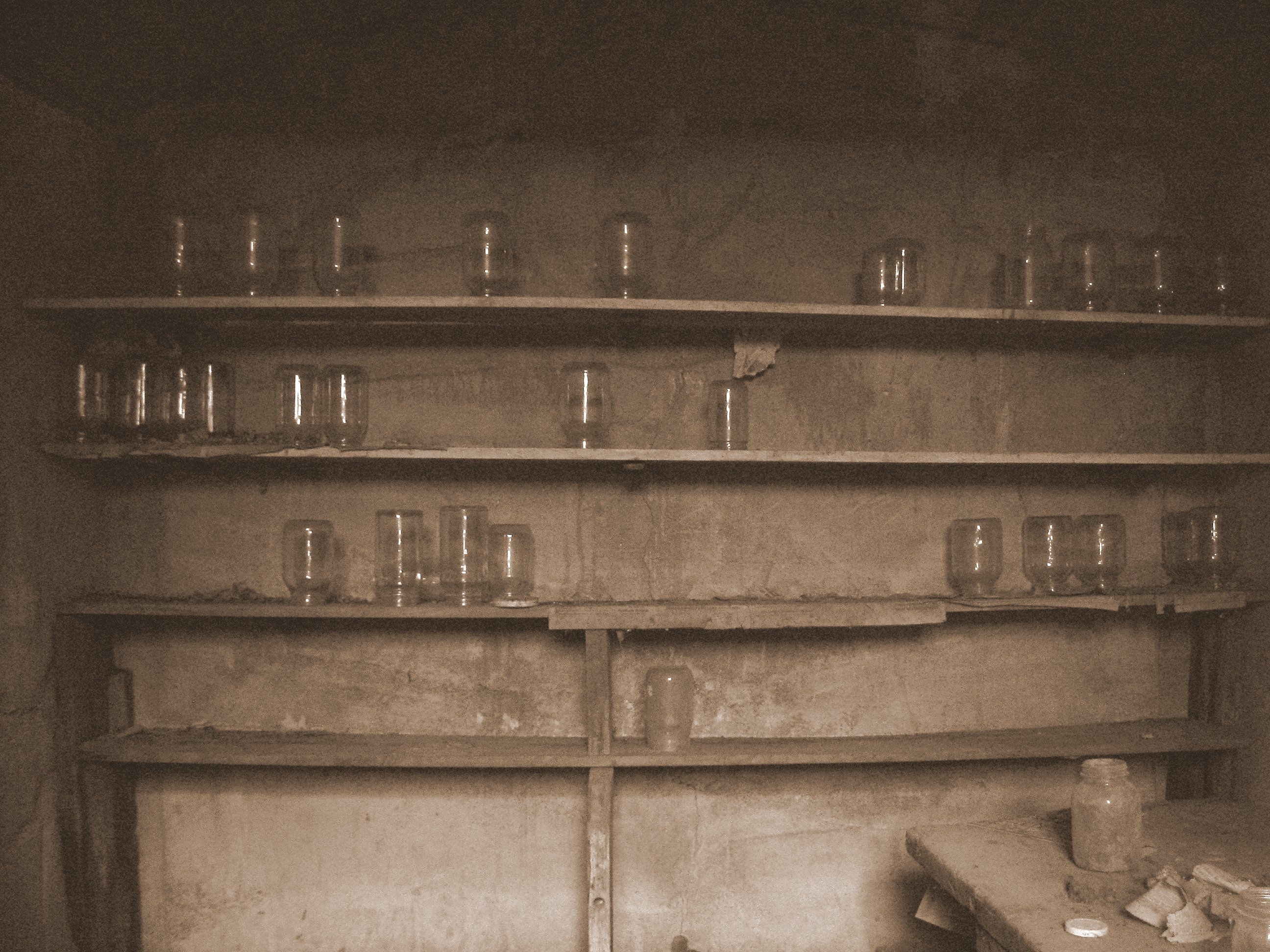
Cellar Jars
NE Hwy 6

Here Is the Church. Here Is the Steeple.

Autumn Lane

Platte Bleu

Skimming the Surface

Singular Surrender

Down Stream, Down Low

Winter Wonderland

Angry Clouds

barn & windmill

Great Expectations

Gonna Be Rain

Gonna Be Rain II

Sunset from the Top of the World

Night Harvest

The Grass Is Always Greener

Windmill Winterscape

Severe Thunderstorm Warning

Rural Gentrification

Mahoney Woods
Topographic Map of South Bend, NE, USA
Find elevation by address:

Places near South Bend, NE, USA:
105 Nebraska St
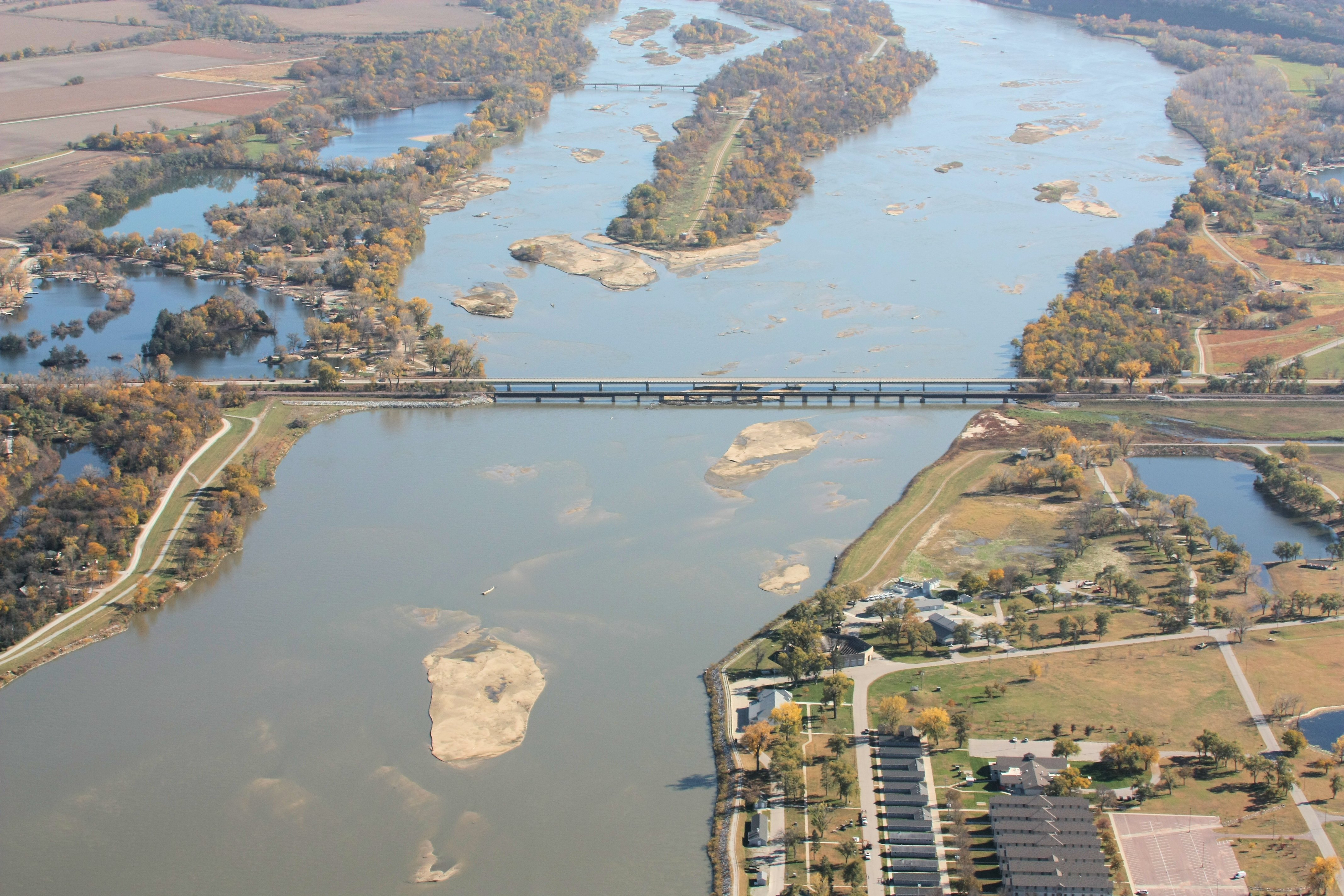
Platte River State Park
35310 E Park Hwy
35310 E Park Hwy
Melia-forest City
Sarpy County
15801 Ne-31
Louisville
Main St, Louisville, NE, USA
Platford-springfield Ii
Louisville
23305 Schram Rd
23227 Schram Rd
23205 Schram Rd
Springfield
3976 Lakeview Dr
4002 Lakeview Dr
2038 Sunset Dr
Cedar Creek
S th St, Papillion, NE, USA
Recent Searches:
- Elevation of Corso Fratelli Cairoli, 35, Macerata MC, Italy
- Elevation of Tallevast Rd, Sarasota, FL, USA
- Elevation of 4th St E, Sonoma, CA, USA
- Elevation of Black Hollow Rd, Pennsdale, PA, USA
- Elevation of Oakland Ave, Williamsport, PA, USA
- Elevation of Pedrógão Grande, Portugal
- Elevation of Klee Dr, Martinsburg, WV, USA
- Elevation of Via Roma, Pieranica CR, Italy
- Elevation of Tavkvetili Mountain, Georgia
- Elevation of Hartfords Bluff Cir, Mt Pleasant, SC, USA