Elevation of Sarpy County, NE, USA

Location: United States > Nebraska >

Longitude: -96.195132

Latitude: 41.0744042

Elevation: 339m / 1112feet

Barometric Pressure: 97KPa

Elevation Map:

elevation map of Sarpy County, NE, USA

Satellite Map:

Satellite map of Sarpy County, NE, USA

Related Photos:

longexposure sunset sky sun tree grass fence nebraska shadows mahoneystatepark photo402com
Sunset (A Worm's-Eye View)
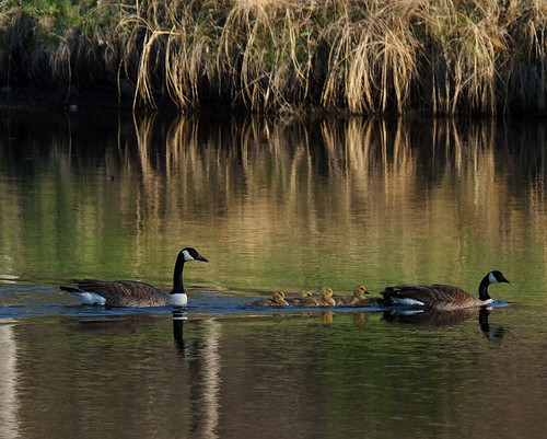
camping spring nebraska calm goslings canadageese rvs motorhomes flowrbx excellentphotographerawards 20080503 louisvillesra minwalk20080503 miniwalkswkeith
Families were out enjoying the day.
sunrise haze nebraska glow platteriver eugenetmahoneystatepark
River View at Sunrise
winter sky church architecture canon eos site nebraska catholic view scenic chapel ne gretna retreat 7d meetings hdr facilities gatewaytoheaven holyfamilyshrine canon7d january2011 don3rdse mygearandme mygearandmepremium mygearandmebronze 3rdsiblingphotography
Gateway to Heaven ~ Explore 01/06/2012
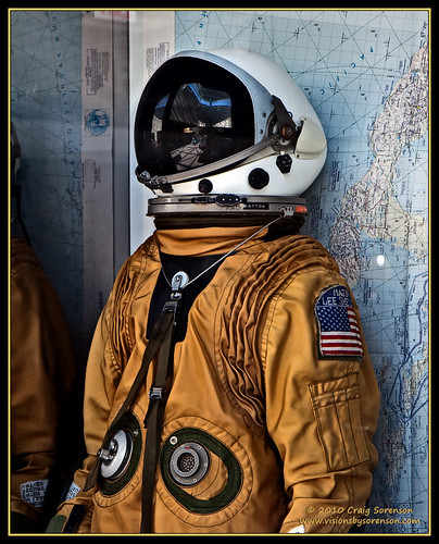
blue red summer orange usa white black museum canon eos nebraska unitedstates airforce usaf ashland 2009 blackbird pilot sr71 sr71blackbird flightsuit strategicairandspacemuseum habu gowest 50d pressuresuit sr71a efs1755mmf28isusm craigsorenson july31stthroughaugust16th leeshelton majorleeshelton
Habu Pressure Suit
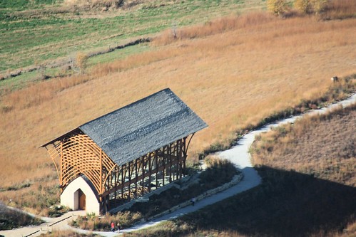
canon geotagged nebraska aerialview aerial ne aerialshot
Holy Family Shrine
window albaluminis sac photowalk flowrbx flickmeetup lincolnflickr nebraskaflickr Upcoming:event=143902 strategicairspacemuseum
Strategically placed sun @ Strategic Space & Air Museum
blue summer sky usa white black canon eos nebraska unitedstates fb nasa research rocket airforce usaf ashland 2009 slv hets guided strategicairandspacemuseum gowest launchvehicle payload 50d sooc bluescout efs1755mmf28isusm craigsorenson july31stthroughaugust16th slv1a standardlaunchvehicle fourstage hypersonicenviromentaltestsystem solidpropellant ltvaerospacecorporation
Blue Scout
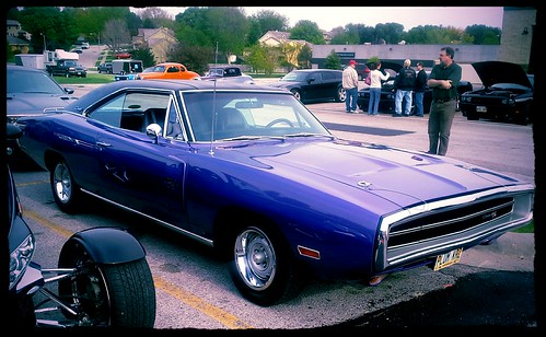
mopar flickrandroidapp:filter=peacock
Plum Crazy Dodge Charger [right view]
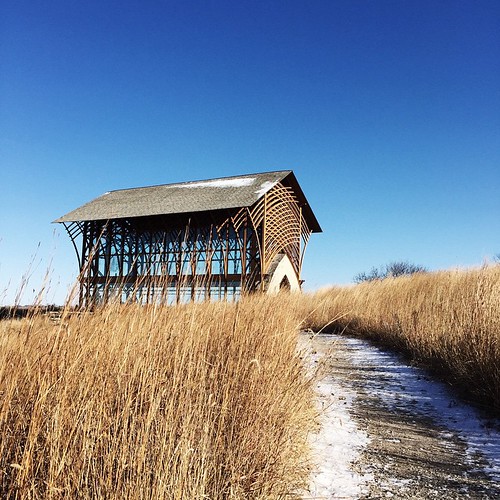
side view of chapel
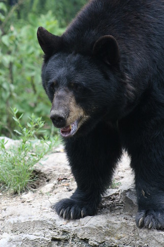
bear animal zoo nebraska omaha claws omahazoo blackbear wildlifesafari canoneos30d
Black Bear, Hungry Bear!
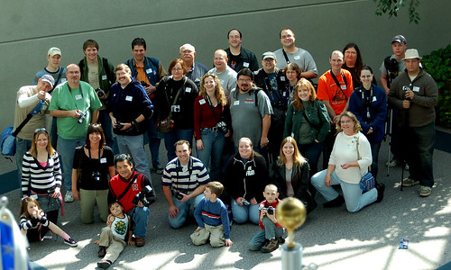
sac photowalk flickrites flowrbx lincolnflickr nebraskaflickr upcoming:event=143902 strategicairspacemuseum
The gang's (almost) all here!
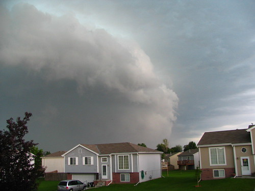
weather clouds storms nebraskathunderstorms
27Jun08 Severe Storm
outdoorscenery
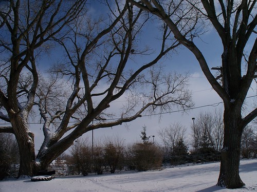
First Snow
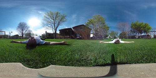
Theta360 in backyard
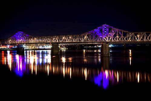
reflection night downtown ky indiana louisville ohioriver purplelights secondstreetbridge
2nd Street Bridge
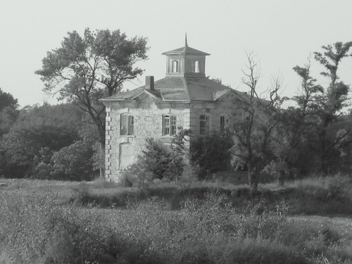
israel nebraska historical mansion schoolhouse ashland blackwhitephotos beetison
Israel Beetison mansion
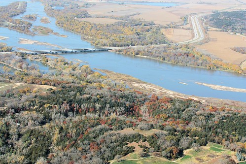
canon geotagged nebraska aerialview aerial ne aerialshot
I-80 Platte River Crossing
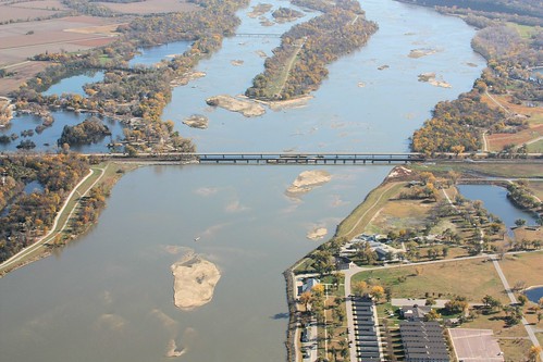
canon geotagged nebraska aerialview aerial ne aerialshot
NE Hwy 6
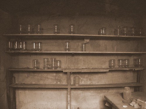
house history israel nebraska mansion ashland eakins beetison 101608
Cellar Jars
nebraska minolta i80 restarea 2010 melia interstate80 meliahill
Scenic View 2 - Melia Hill Rest Area, Nebraska
autumn sunset sky sun nature water clouds river landscape us nebraska unitedstates sony southbend platteriver a99 sarpycounty sonyalpha tamron18270mm slta99 liedbridge
Platte Bleu
road longexposure autumn trees nature landscape nebraska unitedstates sony gretna a77 sonyalpha schrammpark slta77
Autumn Lane
nature butterfly flora nebraska unitedstates thistle sony insects arthropods monarchbutterfly flowersplants papillion a99 sonyalpha slta99
Flutter By
autumn trees sunset sky sun nature water silhouette clouds river landscape nebraska sony platteriver a99 sarpycounty sonyalpha tamron18270mm slta99
Singular Surrender
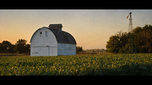
sunset texture windmill field barn rural beans nebraska widescreen gretna 169 beanfield goldenhour 1755mmf28 nikond80 thechallengefactory laughlinc
barn & windmill
2011-08-10_20-45-29_619
sky lake storm nature water clouds landscape pond nebraska brackets mahoneystatepark photo402com
Gonna Be Rain II
trees winter sky panorama snow nature clouds landscape nebraska seasons sony platteriver mahoneystatepark a99 sonyalpha tamron18270mmdiii slta99
Winter Wonderland
trees winter nature animals barn rural landscape nebraska cows farm photo402 photo402com
Dairy Farm
trees sunset landscape nebraska day cloudy platteriver mahoneystatepark photo402com
Angry Clouds
autumn fall landscape nikon nebraska path omaha hdr omahane woodedarea nikond600 wehrspannlake
THE PATH WELL-TRAVELED
reflection nature water bench landscape pond nebraska unitedstates sony louisville parkbench a77 platteriverstatepark sonyalpha slta77 owenlanding
Great Expectations
trees winter sunset sky panorama snow nature windmill clouds fence landscape nebraska seasons sony mahoneystatepark a99 sonyalpha tamron18270mmdiii slta99
Windmill Winterscape
trees blackandwhite bw snow leaves forest nebraska unitedstates sony 28mm trail ashland a77 2014
Mahoney Woods
sky nature clouds rural landscape nebraska day cloudy farm cloudporn cornporn sarpycounty manleyne
The Good Life
sky lake storm nature water clouds landscape pond nebraska brackets photo402com
Gonna Be Rain
longexposure autumn trees sky lake nature water night stars landscape nenraska
On the Edge of Night
horses nature windmill animals fence landscape mahoneystatepark
The Grass Is Always Greener
square squareformat iphoneography instagramapp uploaded:by=instagram foursquare:venue=4b969162f964a52052d534e3
And I heard from the trees a great parade And I heard from the hills a band was made.