Elevation of Louisville, NE, USA
Location: United States > Nebraska > Cass County >
Longitude: -96.163304
Latitude: 40.985693
Elevation: 346m / 1135feet
Barometric Pressure: 97KPa
Elevation Map:
Satellite Map:
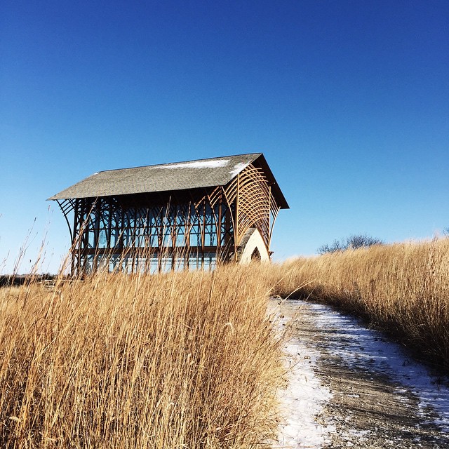
Related Photos:

Sunset (A Worm's-Eye View)

Families were out enjoying the day.

River View at Sunrise

Gateway to Heaven ~ Explore 01/06/2012

Habu Pressure Suit
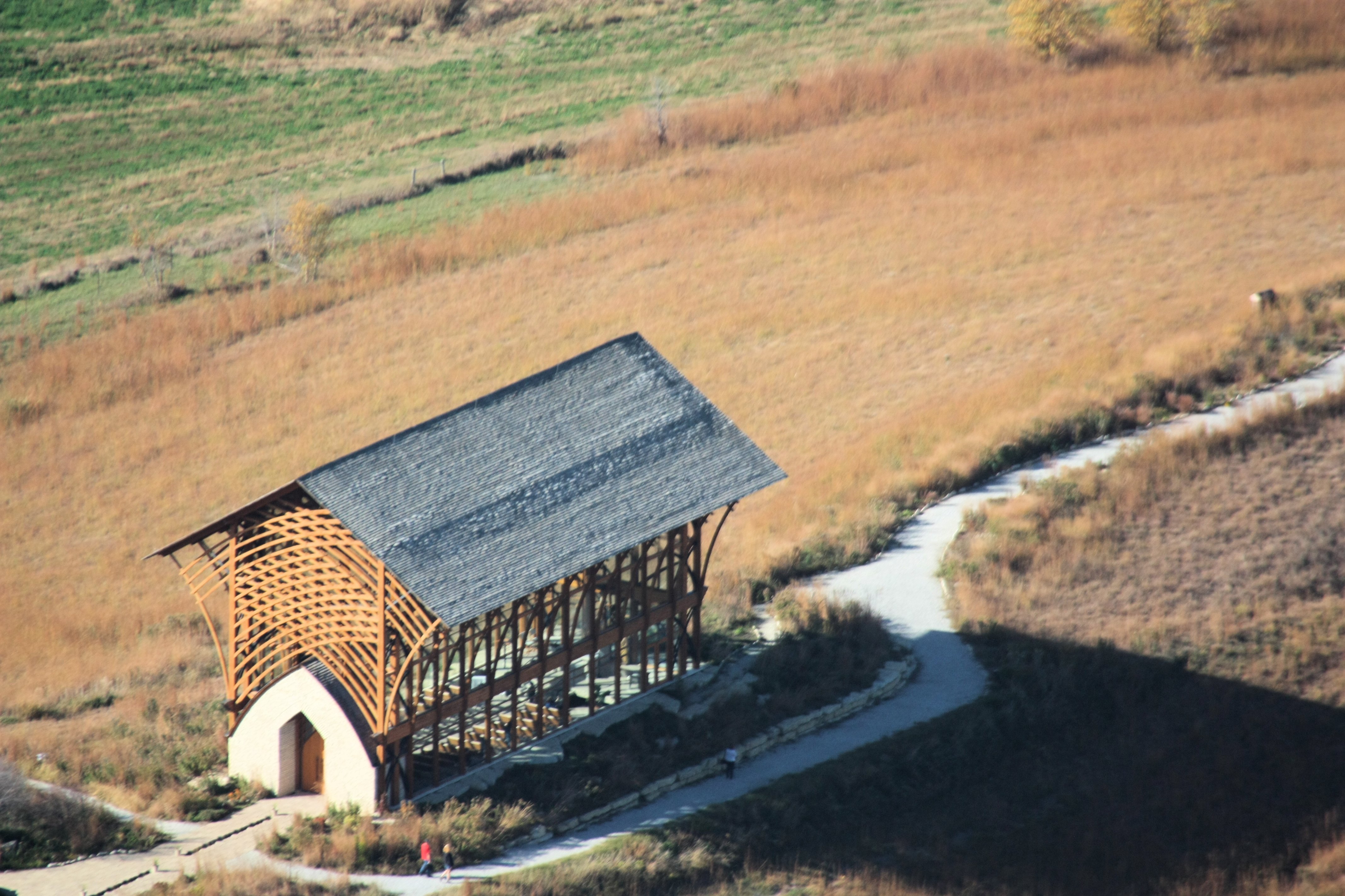
Holy Family Shrine

Strategically placed sun @ Strategic Space & Air Museum
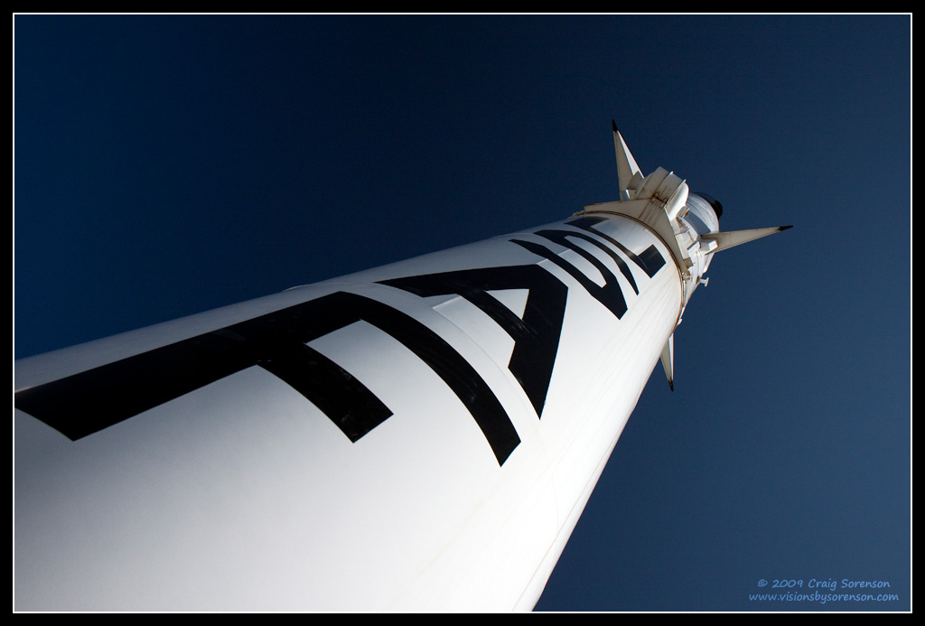
Blue Scout
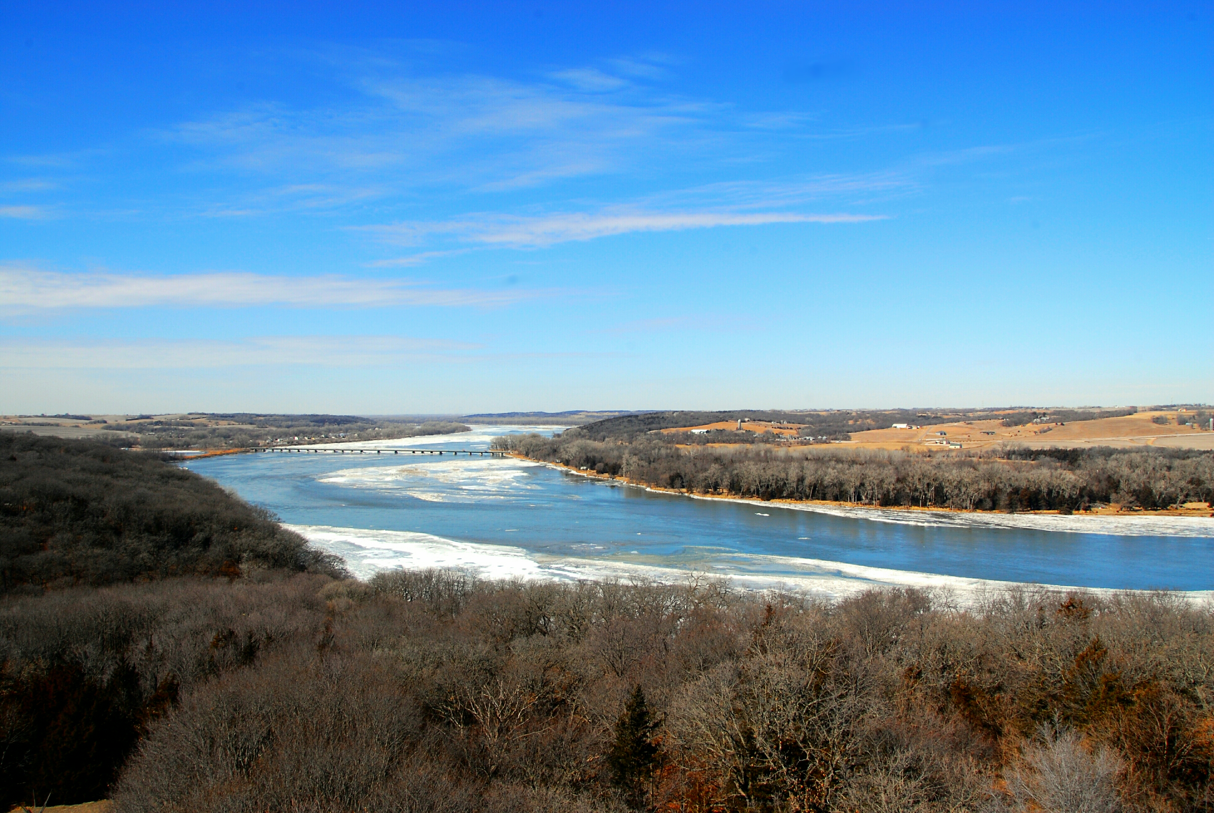
Platte River Overlook

side view of chapel

Black Bear, Hungry Bear!

Downtown Christmas

Summer Evenings

The gang's (almost) all here!

2nd Street Bridge
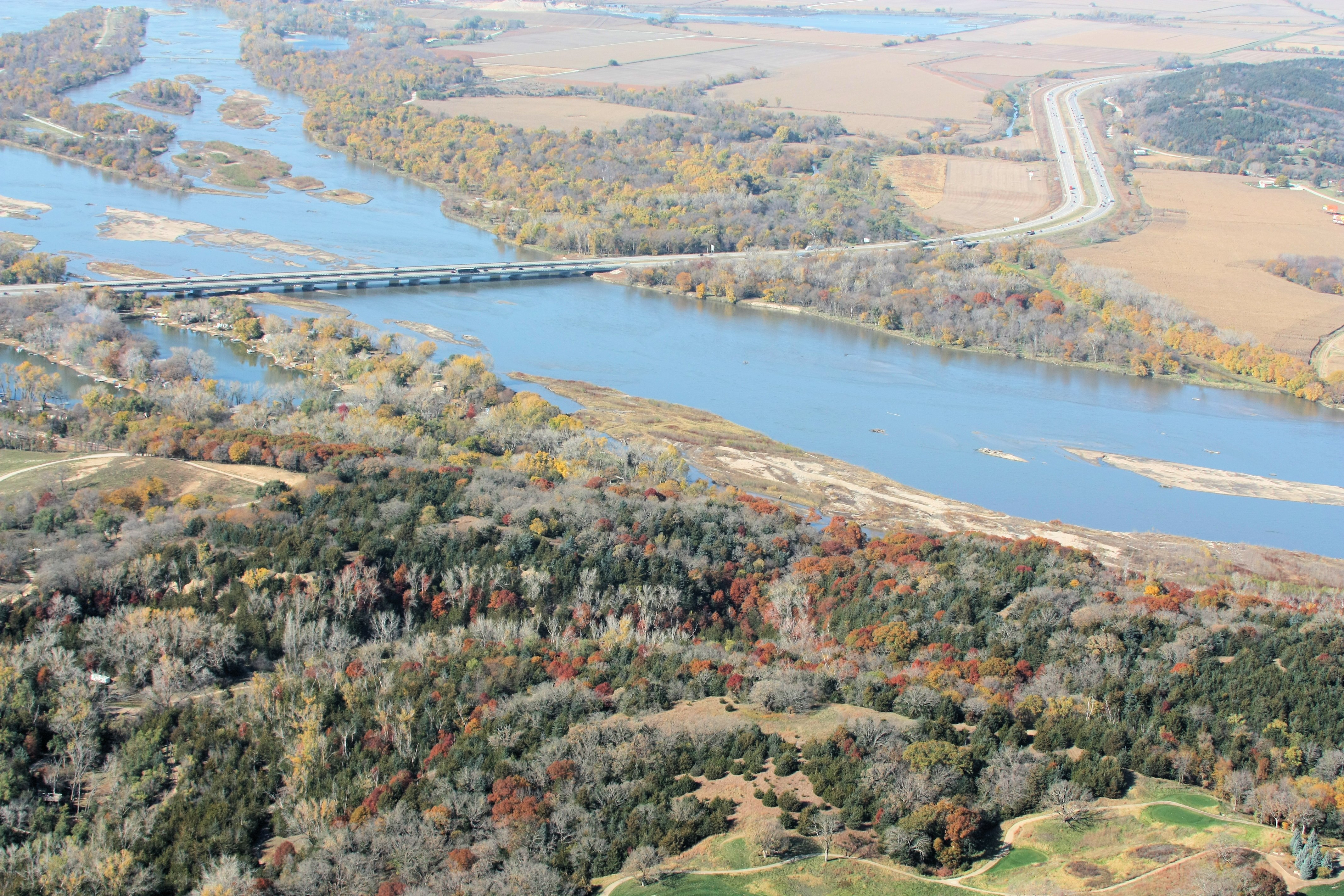
I-80 Platte River Crossing

inside or out
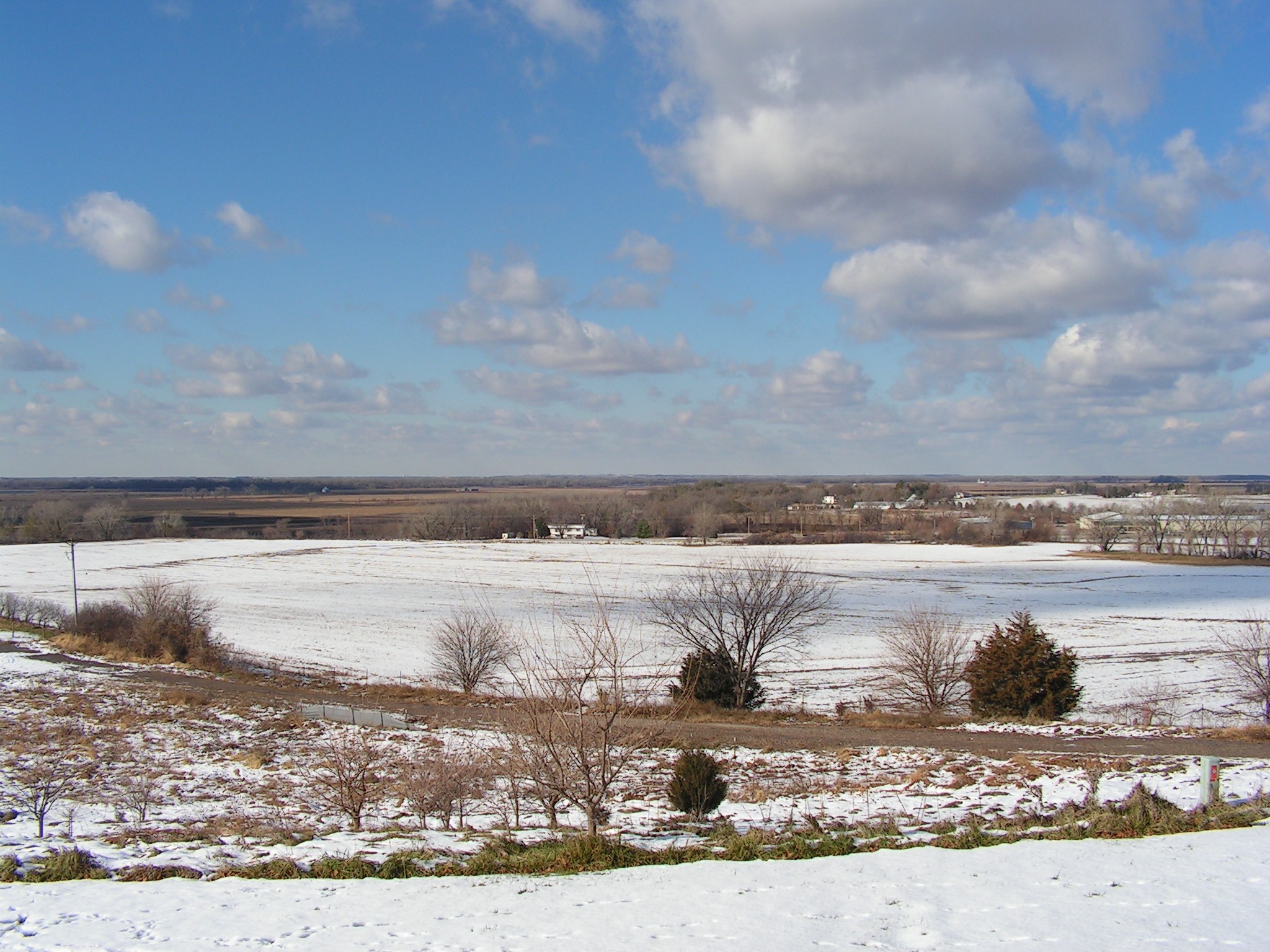
Scenic View 2 - Melia Hill Rest Area, Nebraska

Holy Family Shrine (2001)

Windows and Web

I-80

Platte Bleu

Skimming the Surface

Autumn Lane

Singular Surrender

barn & windmill

Down Stream, Down Low

Night Harvest

Gonna Be Rain II

Winter Wonderland

Angry Clouds

Great Expectations

Windmill Winterscape

Mahoney Woods

Louisville, Jul 25, 2008

Gonna Be Rain
And I heard from the trees a great parade And I heard from the hills a band was made.
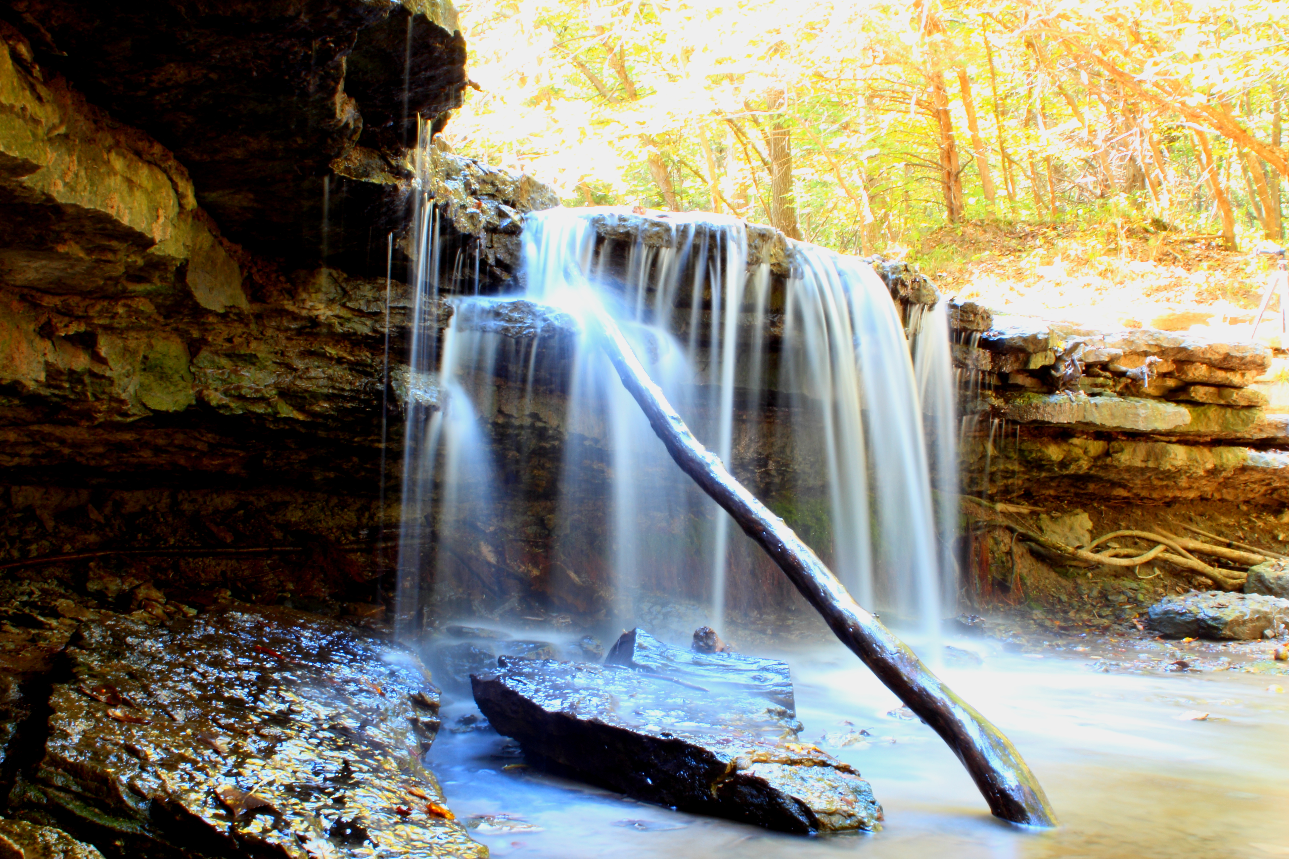
platte river falls 3

Fenced In

Alone in my little world
Topographic Map of Louisville, NE, USA
Find elevation by address:

Places in Louisville, NE, USA:
Places near Louisville, NE, USA:
Main St, Louisville, NE, USA
Louisville
15801 Ne-31
35310 E Park Hwy
35310 E Park Hwy
Platte River State Park
Platford-springfield Ii
3976 Lakeview Dr
4002 Lakeview Dr
105 Nebraska St
2038 Sunset Dr
Cedar Creek
Sarpy County
Springfield
Eight Mile Grove
South Bend
S th St, Papillion, NE, USA
Melia-forest City
23205 Schram Rd
23227 Schram Rd
Recent Searches:
- Elevation of Corso Fratelli Cairoli, 35, Macerata MC, Italy
- Elevation of Tallevast Rd, Sarasota, FL, USA
- Elevation of 4th St E, Sonoma, CA, USA
- Elevation of Black Hollow Rd, Pennsdale, PA, USA
- Elevation of Oakland Ave, Williamsport, PA, USA
- Elevation of Pedrógão Grande, Portugal
- Elevation of Klee Dr, Martinsburg, WV, USA
- Elevation of Via Roma, Pieranica CR, Italy
- Elevation of Tavkvetili Mountain, Georgia
- Elevation of Hartfords Bluff Cir, Mt Pleasant, SC, USA