Elevation of Snug Harbor Rd, Seaford, DE, USA
Location: United States > Delaware > Sussex County > Seaford >
Longitude: -75.572545
Latitude: 38.657004
Elevation: 2m / 7feet
Barometric Pressure: 0KPa
Related Photos:

Historic Marker at Broadcreek Hundred
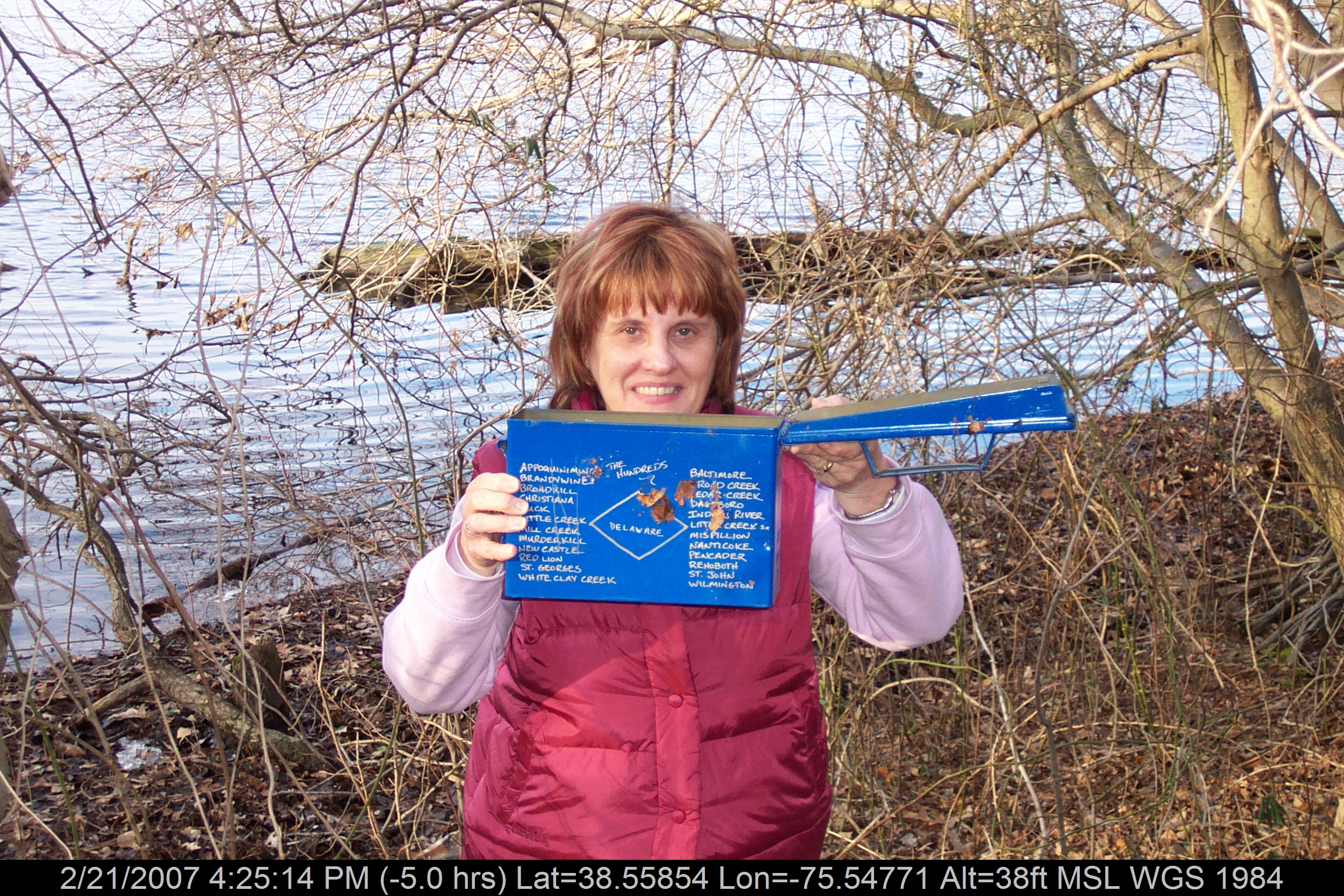
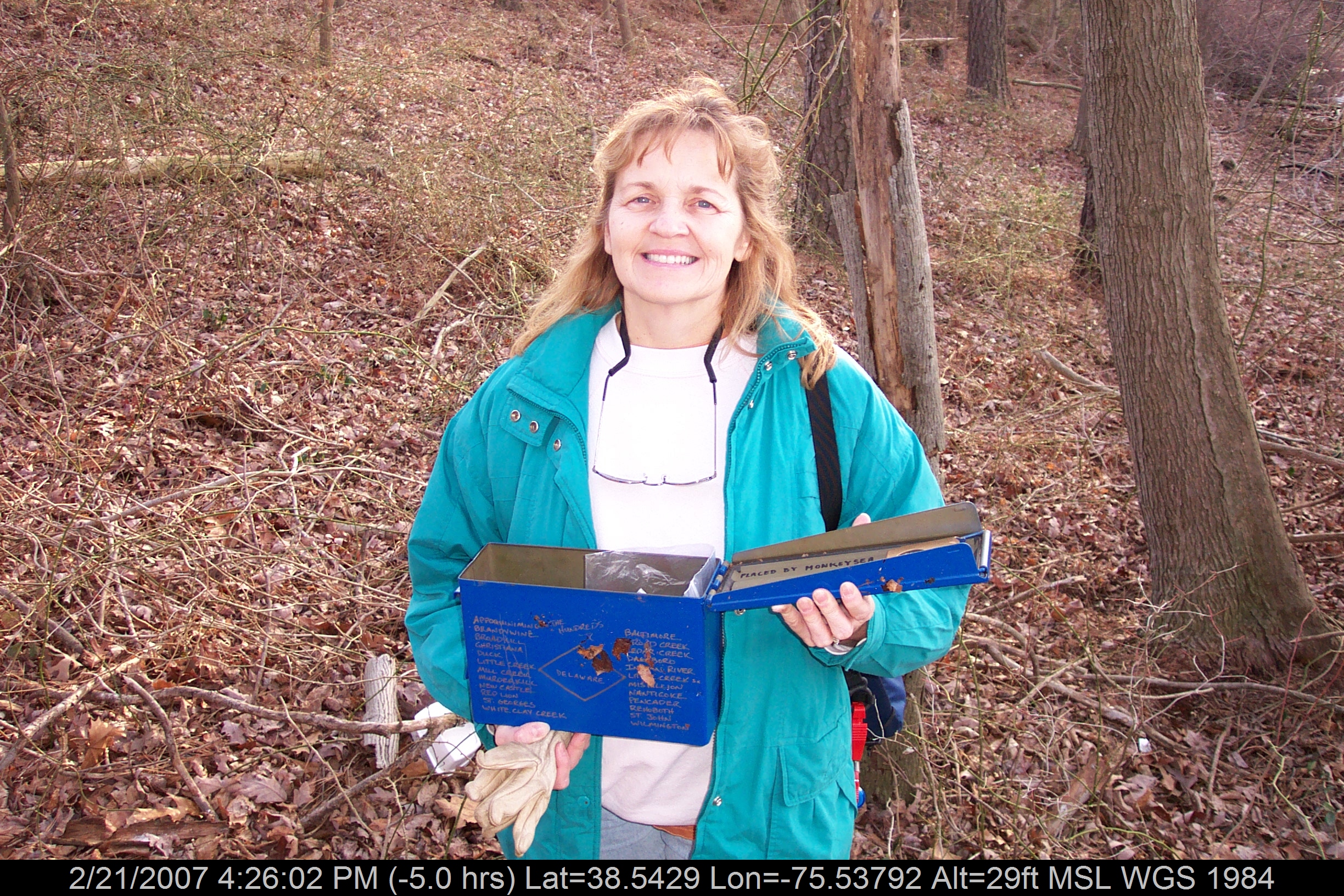
Mrs P64 with Broadcreek Hundred Cache

Marker at Old Christ Church

Grave at Old Christ Church
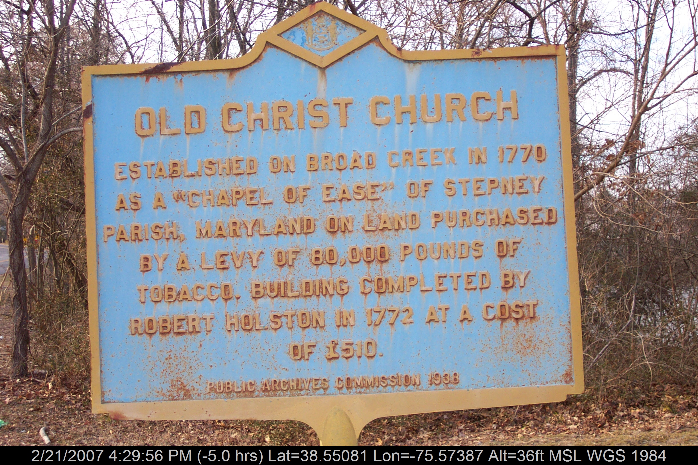
Historic Marker: Old Christ Church
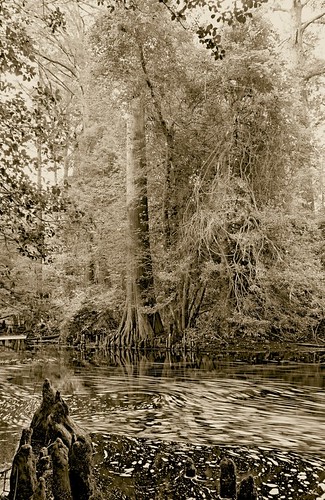
Trees of Trussum - Taken near Trussom Pond and Trap Pond State Park in Laurel, DE
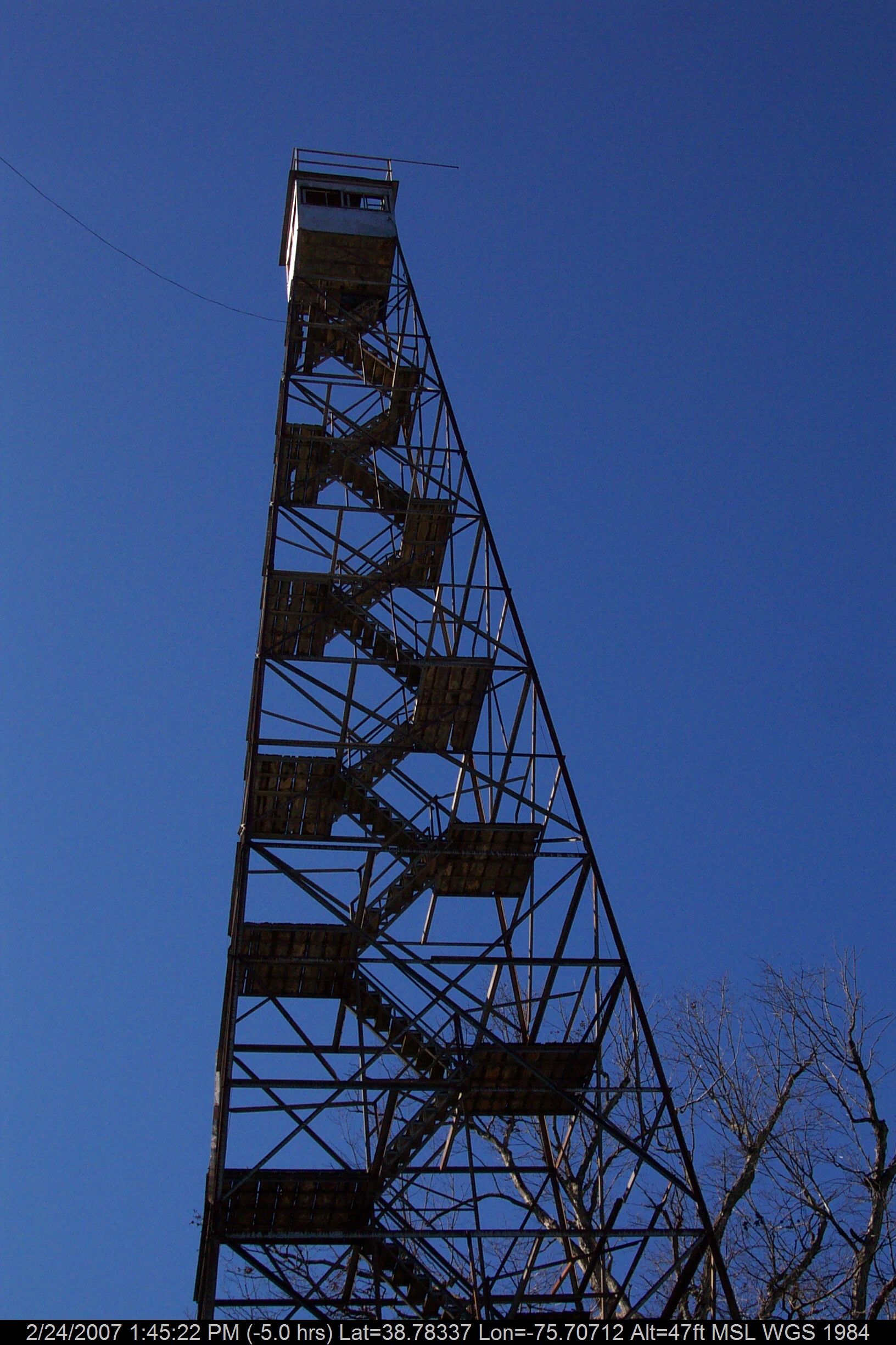
Stateline Marker Old Firetower
Mrs dinobalz with Broadcreek Hundred Cache

Abandoned DE Diner- rear view
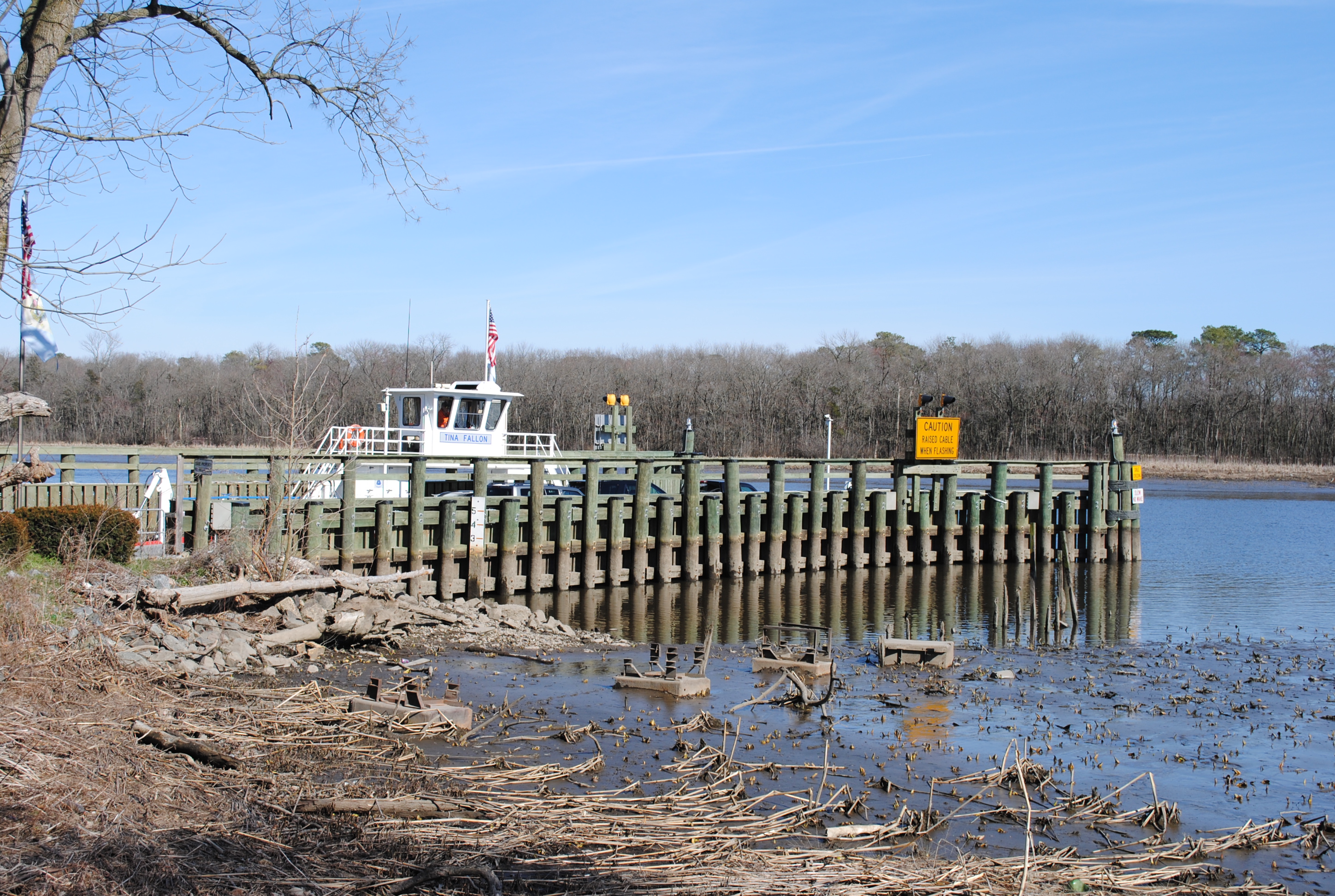
Woodland Ferry

Abandoned Diner in Delaware along US-13

Tarpaulins partway got blew down by Delmarva fierce windstorm, & now the weird secrets of the little fenced-in area are all out & unenshrouded where people can see.
No Umbrella Needed, No Cache No More
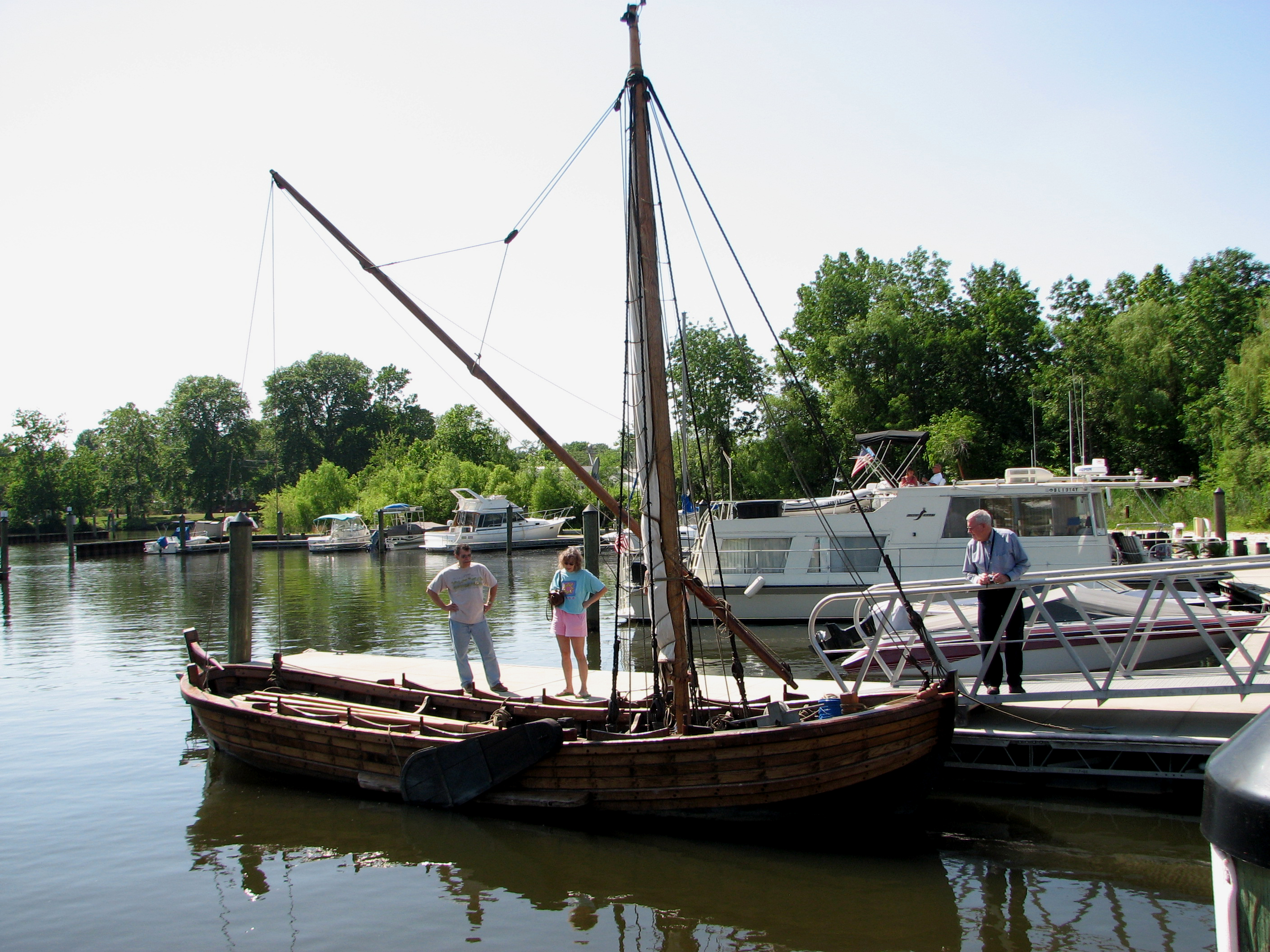
Replica of Captain John Smith's shallop

Playground...You Know, for Kids!
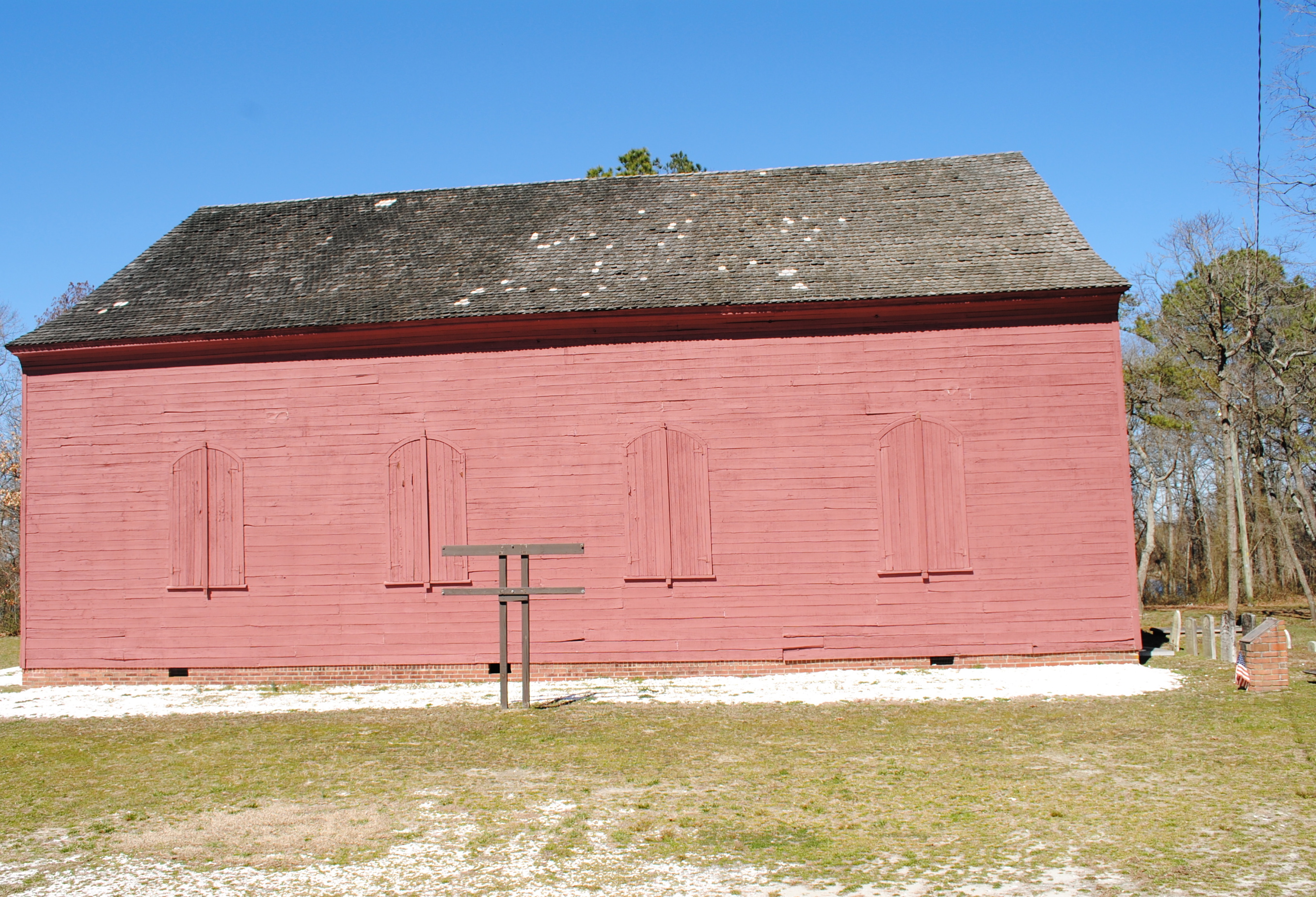
Old Christ Church - Laurel, Delaware
Our backyard-- worm's eye view
Side View of Pet Emporium
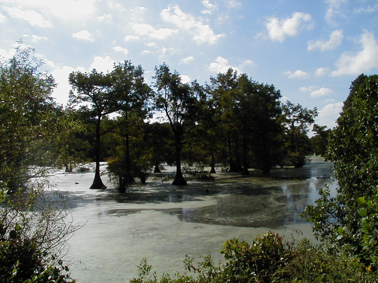
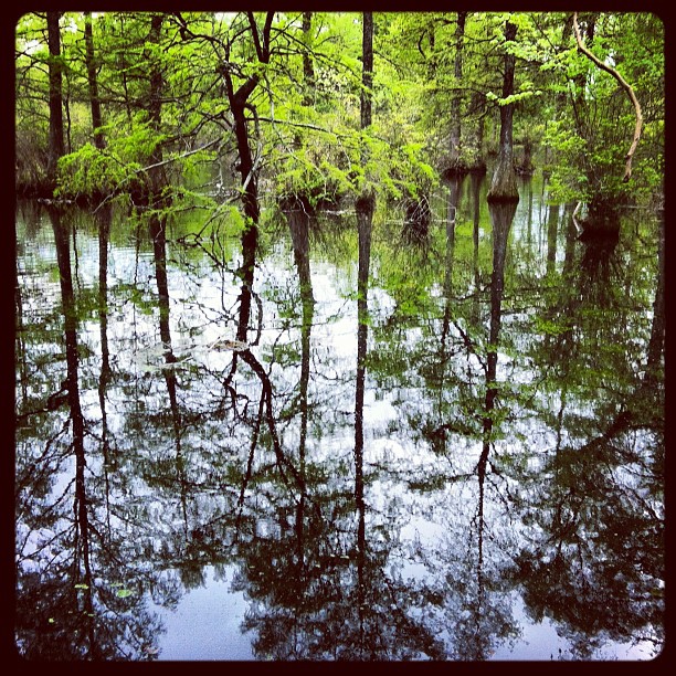
Trussum Pond
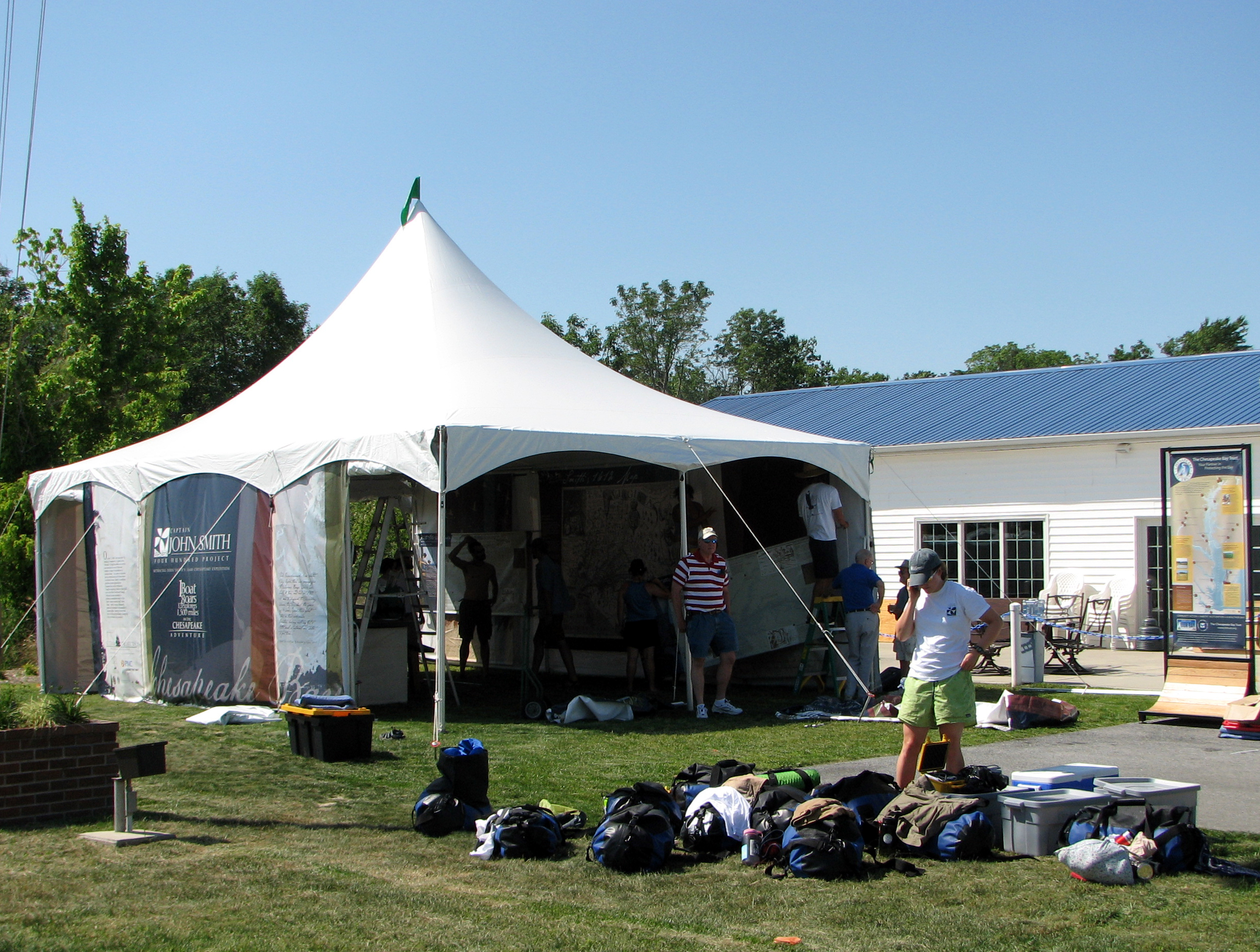
Captain John Smith's Replica Crew

Woodland Ferry
Royal Farms Field

Soda Can Baseball: Round 2
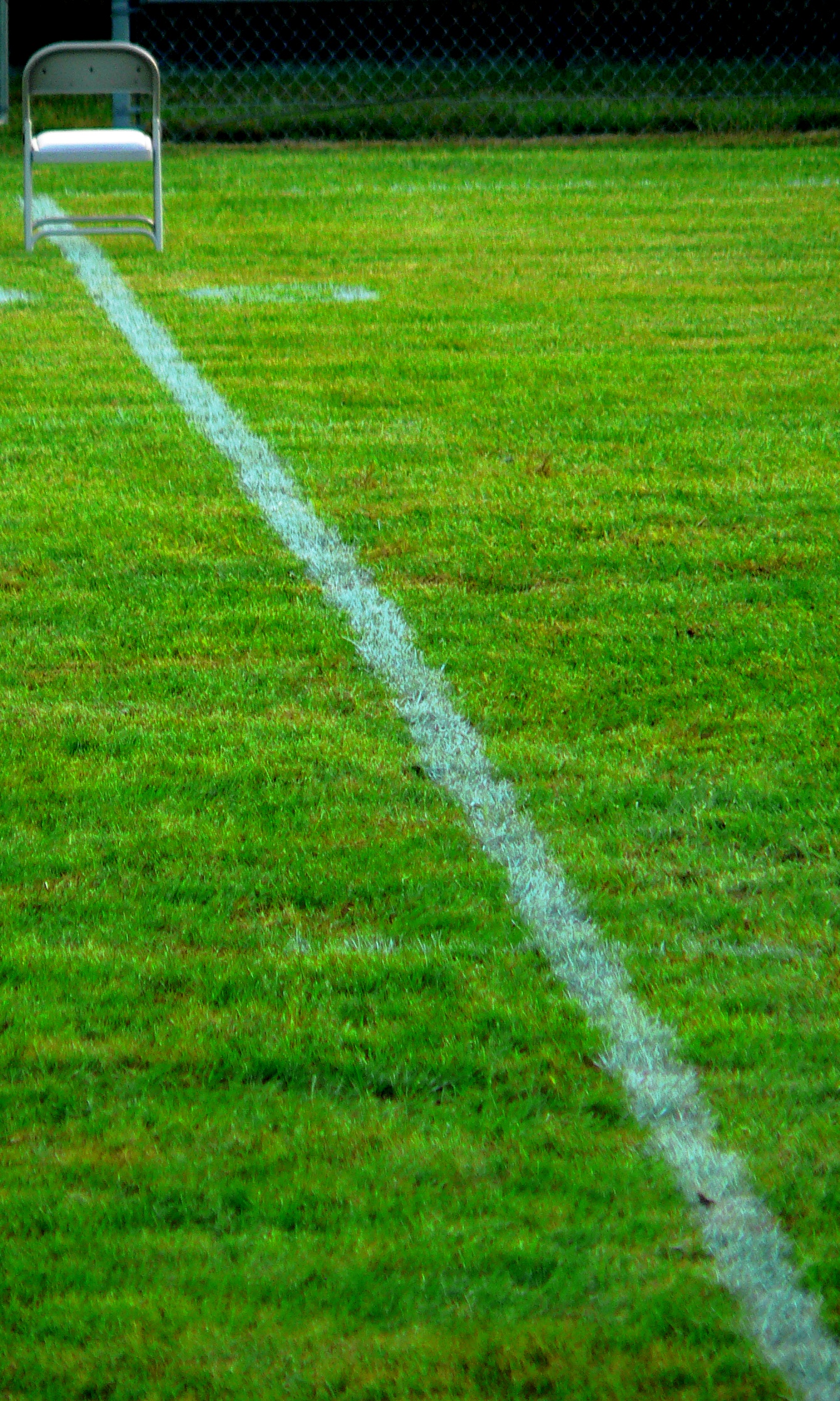
A Seat On The 50
Records Pond Laurel Delaware
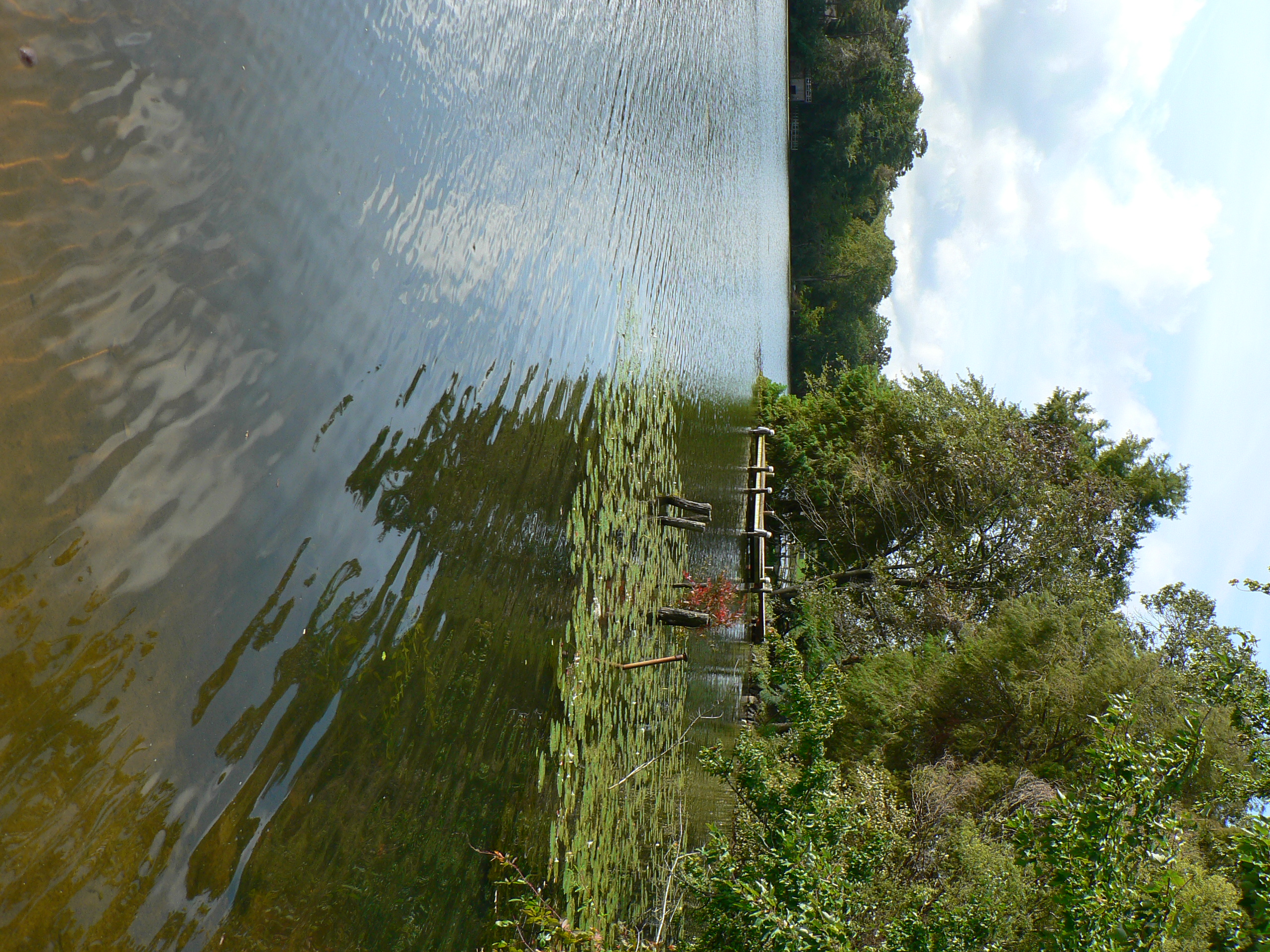
dock 2

rt. 13
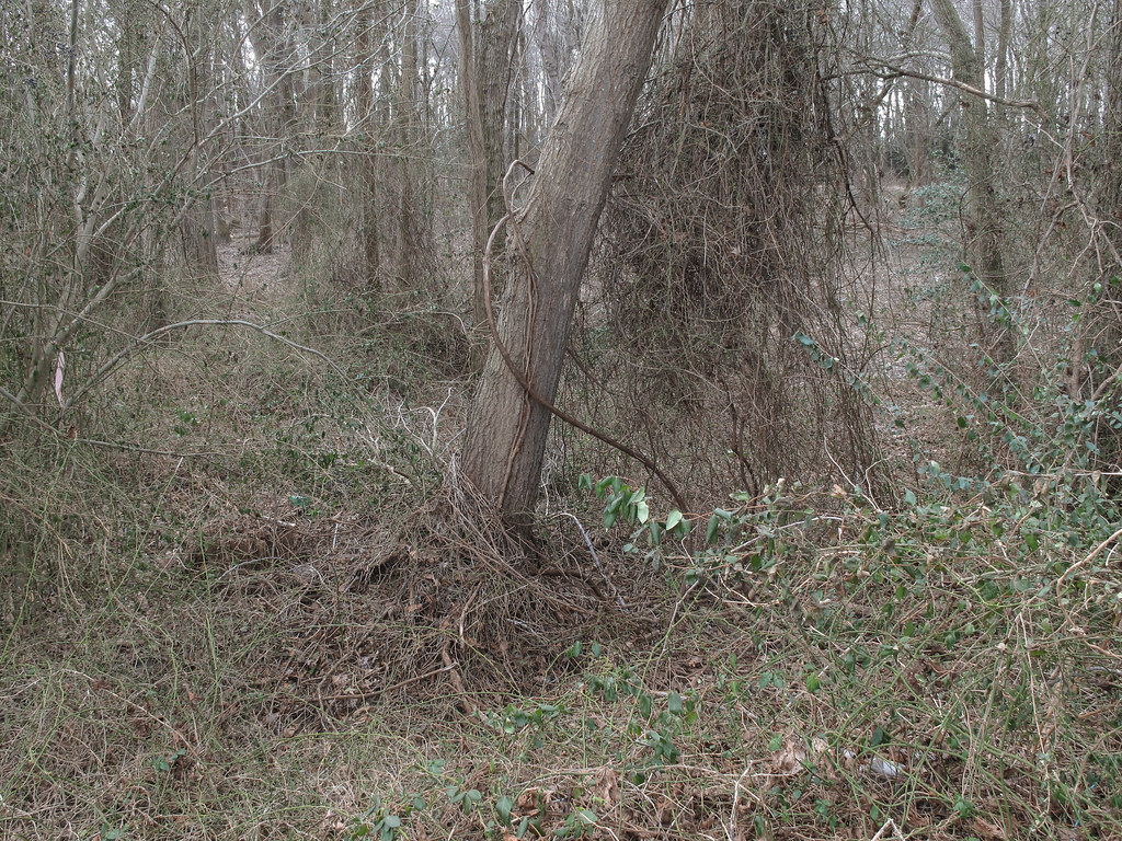
Ongoing progress of thorny thicket formation.
Wet rough

Building Along the Nanticoke River

Field and Buses

Death Valley Dunes

IMG_0782 Dickcissel
Hiking with Max today.

D43A70AD-CA86-4B23-9133-9635F9C042F3

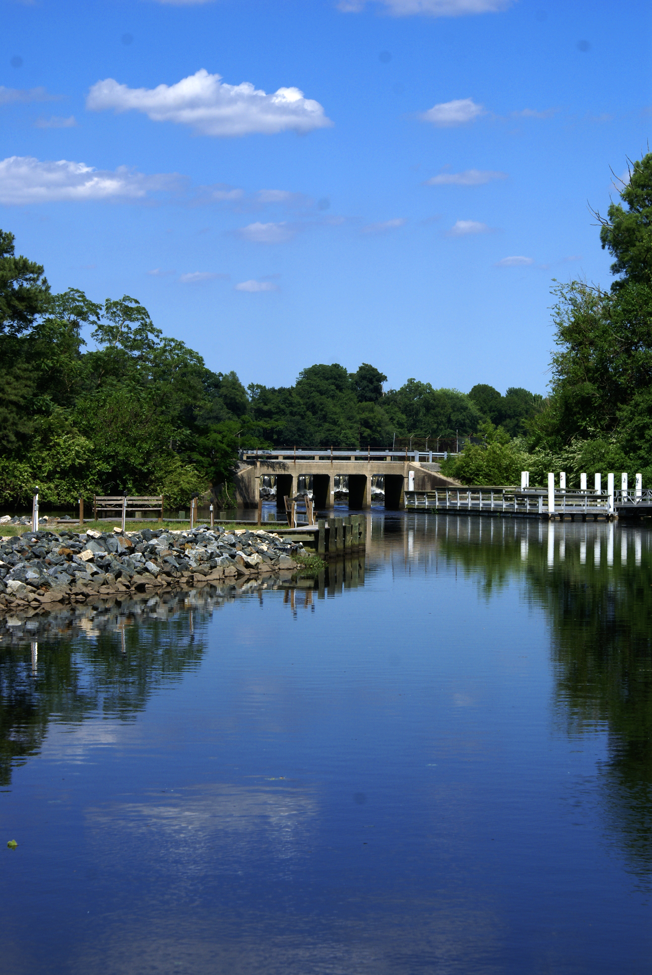
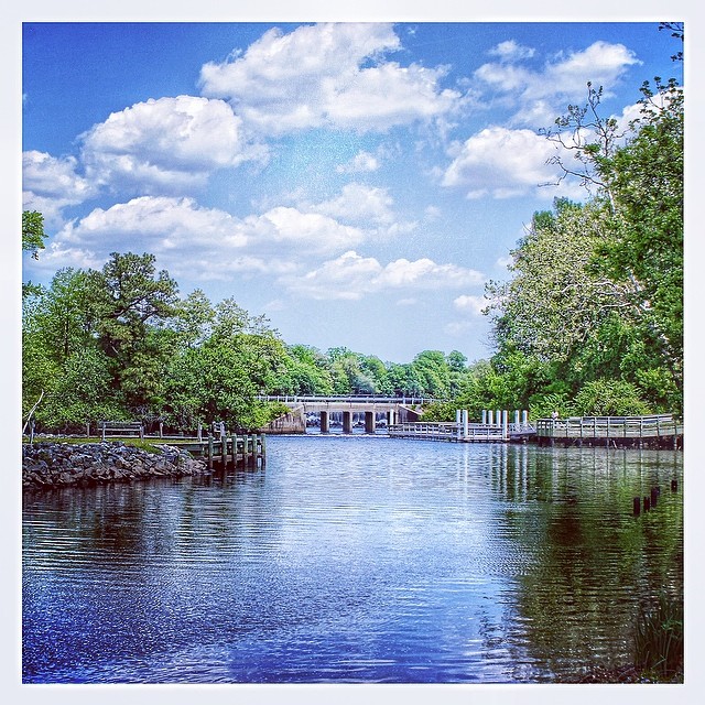
Upper Nanticoke River in Delaware looking north

Ornate headstone

Backlit Clouds
#laurel#delaware #clouds

Upper Nanticoke River in Delaware looking south

Fields, Bridgeville, Delaware
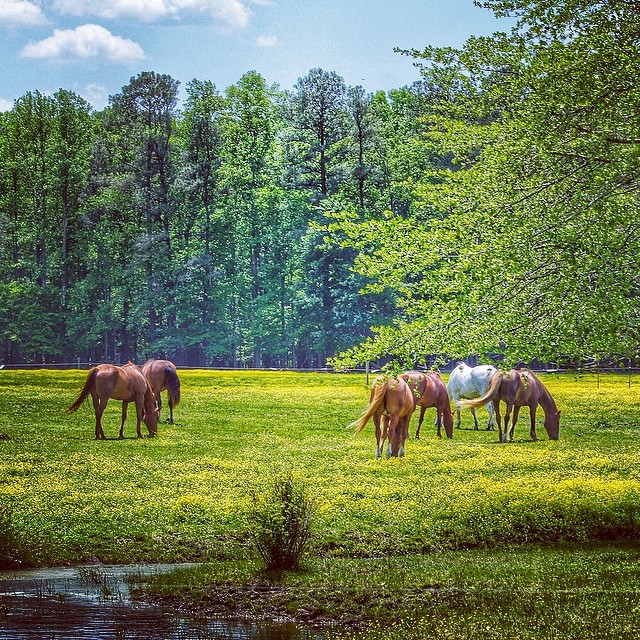
#horse#laurel #delaware
Topographic Map of Snug Harbor Rd, Seaford, DE, USA
Find elevation by address:

Places near Snug Harbor Rd, Seaford, DE, USA:
24133 Snug Harbor Rd
Gravelly Creek Ln, Seaford, DE, USA
1 Greenleaf Ln
9551 N Shore Dr
Concord Rd, Seaford, DE, USA
German Rd, Seaford, DE, USA
Airport Rd, Seaford, DE, USA
Old Furnace Rd, Georgetown, DE, USA
Bethel Rd, Seaford, DE, USA
Carroll Taylor Dr, Laurel, DE, USA
Sycamore Rd, Laurel, DE, USA
Holly Brook Apartments, Laurel, DE, USA
Lakeside Dr, Laurel, DE, USA
Laurel
1013 Rd 492
Beaver Dam Branch Rd, Laurel, DE, USA
109 Dewey St
Laurel Rd, Laurel, DE, USA
Sharptown Rd, Laurel, DE, USA
Trussum Pond Rd, Laurel, DE, USA
Recent Searches:
- Elevation map of Greenland, Greenland
- Elevation of Sullivan Hill, New York, New York, 10002, USA
- Elevation of Morehead Road, Withrow Downs, Charlotte, Mecklenburg County, North Carolina, 28262, USA
- Elevation of 2800, Morehead Road, Withrow Downs, Charlotte, Mecklenburg County, North Carolina, 28262, USA
- Elevation of Yangbi Yi Autonomous County, Yunnan, China
- Elevation of Pingpo, Yangbi Yi Autonomous County, Yunnan, China
- Elevation of Mount Malong, Pingpo, Yangbi Yi Autonomous County, Yunnan, China
- Elevation map of Yongping County, Yunnan, China
- Elevation of North 8th Street, Palatka, Putnam County, Florida, 32177, USA
- Elevation of 107, Big Apple Road, East Palatka, Putnam County, Florida, 32131, USA
- Elevation of Jiezi, Chongzhou City, Sichuan, China
- Elevation of Chongzhou City, Sichuan, China
- Elevation of Huaiyuan, Chongzhou City, Sichuan, China
- Elevation of Qingxia, Chengdu, Sichuan, China
- Elevation of Corso Fratelli Cairoli, 35, Macerata MC, Italy
- Elevation of Tallevast Rd, Sarasota, FL, USA
- Elevation of 4th St E, Sonoma, CA, USA
- Elevation of Black Hollow Rd, Pennsdale, PA, USA
- Elevation of Oakland Ave, Williamsport, PA, USA
- Elevation of Pedrógão Grande, Portugal