Elevation of 1 Greenleaf Ln, Seaford, DE, USA
Location: United States > Delaware > Sussex County > Seaford >

Longitude: -75.573346

Latitude: 38.644991

Elevation: 5m / 16feet

Barometric Pressure: 101KPa

Elevation Map:

elevation map of 1 Greenleaf Ln, Seaford, DE, USA
Satellite Map:

Satellite map of 1 Greenleaf Ln, Seaford, DE, USA
Related Photos:

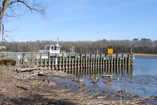
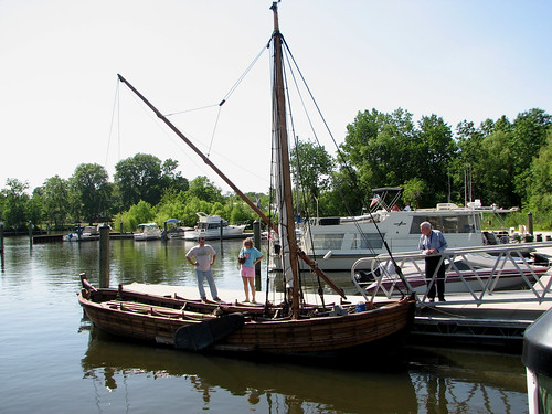
water ferry river pier boat dock shoreline delaware nanticoke cableferry nanticokeriver sussexcountyde tinafallon woodlandferry
Woodland Ferry
Playground...You Know, for Kids!
tree water ferry river pier boat dock delaware nanticoke cableferry nanticokeriver sussexcountyde tinafallon woodlandferry
Woodland Ferry
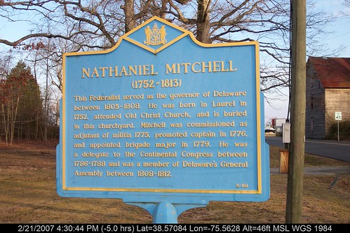
geotagged geo:lat=38581019 geo:lon=755634553333333
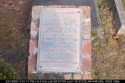
Marker at Old Christ Church
geotagged geo:lat=385850726666667 geo:lon=755939696666667
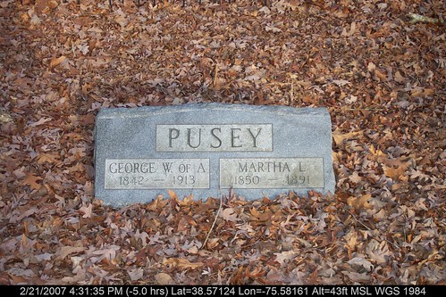
Grave at Old Christ Church
A Perfect Flower
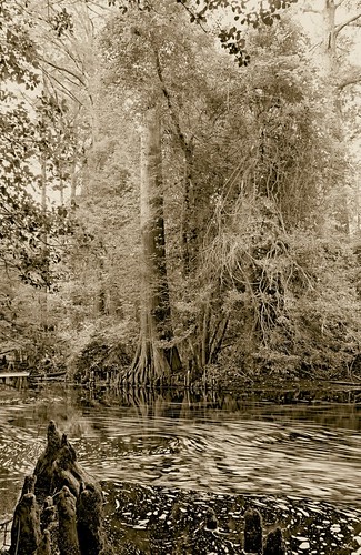
longexposure trees blackandwhite bw water beautiful sepia wow de blackwhite moving pentax patterns bald scenic cypress swirls delaware knees laurel smallwonder pentaxpz1p trappond pz1p delawareonline wowiekazowie trussumpond rockymtns99 laurelde slowerdelaware trussom stjamesbranch lowerdelaware hastingsfamilyreunion jamesbranch
Trees of Trussum - Taken near Trussom Pond and Trap Pond State Park in Laurel, DE
geotagged geo:lat=385330853333333 geo:lon=75529854
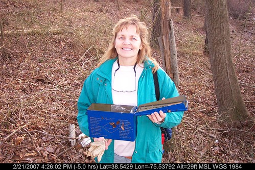
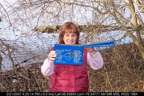
Mrs dinobalz with Broadcreek Hundred Cache
abandoned diner delaware bridgeville us13
Abandoned DE Diner- rear view
abandoned closed diner delaware bridgeville us13
Abandoned Diner in Delaware along US-13
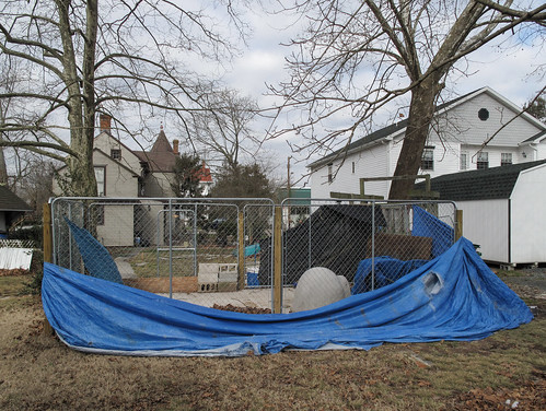
delaware bridgevilledelaware bridgeville sussexcountydelaware sussexcounty southerndelaware southdelaware delmarva delmarvapeninsula 20100104 january2010 january 2010 view landscape delawarelandscape bridgevillelandscape delmarvalandscape yard backyard fence fencedinarea chainlinkfence chainlink tarps tarpaulins bluetarps bluetarpaulins saggingtarpaulins saggingtarps windblowntarpaulins windblowntarps mowed mowedgrass browngrass unionstreet houses img0167
Tarpaulins partway got blew down by Delmarva fierce windstorm, & now the weird secrets of the little fenced-in area are all out & unenshrouded where people can see.
geotagged geo:lat=386414465099545 geo:lon=756178846666614
No Umbrella Needed, No Cache No More
geotagged 400 delaware chesapeake delmarva johnsmith shallop
Replica of Captain John Smith's shallop
geotagged geo:lat=385595273333333 geo:lon=755537703333333
Historic Marker at Broadcreek Hundred
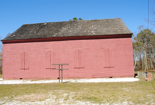
old red church historic marker delaware nationalregisterhistoricplaces laurelde sussexcountyde oldchristchurchlaureldelaware
Old Christ Church - Laurel, Delaware
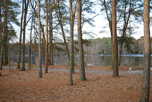
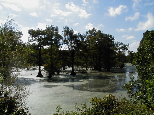
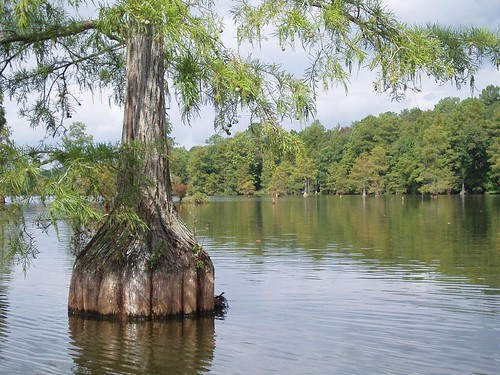
statepark park camping nature forest de outside outdoors pond woods hiking trails trail cypress delaware delawarestatepark baldcypresstrees laurelde trappondstatepark sussexcountyde
Trap Pond State Park
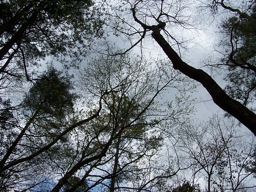
sky tree forest woodland woods
Our backyard-- worm's eye view
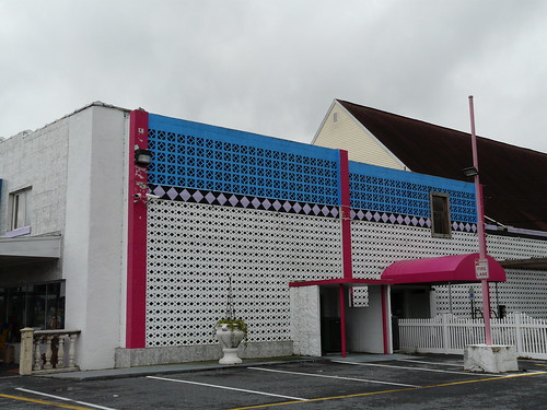
delaware seaford
Side View of Pet Emporium
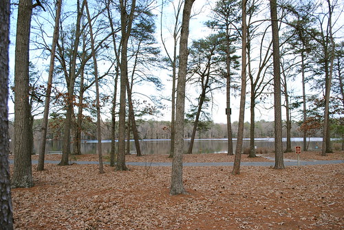
statepark park camping nature forest de outside outdoors woods hiking trails trail cypress delaware delawarestatepark baldcypresstrees laurelde trappondstatepark sussexcountyde
Trap Pond State Park
geotagged delaware delmarva
Trussum Pond
geotagged geo:lat=38568324 geo:lon=755584516666667
Mrs P64 with Broadcreek Hundred Cache
Fields, Bridgeville, Delaware
park tree pond state cypress trap sussexcounty delawarestatepark trappondstatepark
Trap Pond State Park
statepark park trees water pond state cypress delaware trap trappond sussexcountyde
Trap Pond State Park
Death Valley Dunes
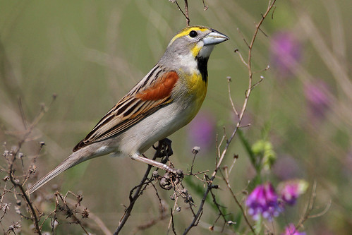
IMG_0782 Dickcissel
square squareformat hudson iphoneography instagramapp uploaded:by=instagram
Hiking with Max today.
square squareformat hudson iphoneography instagramapp uploaded:by=instagram
#delaware #field#spring #wildflower #yellow #laurel
D43A70AD-CA86-4B23-9133-9635F9C042F3
unitedstates conservation science environment restoration delaware monitoring partnership hatchery restocking nanticokeriver americanshad geocity geo:country=unitedstates otherkeywords camera:make=canon exif:make=canon camera:model=canoneos5dmarkii geostate exif:model=canoneos5dmarkii chesapeakebayprogram exif:lens=ef24105mmf4lisusm exif:focallength=24mm exif:aperture=ƒ40 exif:isospeed=100
Upper Nanticoke River in Delaware looking north
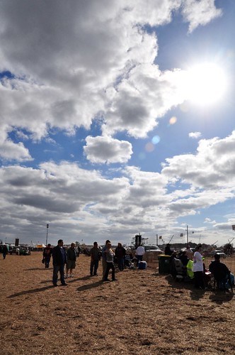
delaware bridgeville punkinchunkin 2011
Royal Farms Field
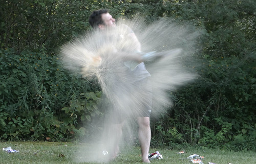
Soda Can Baseball: Round 2
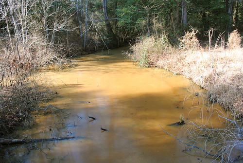
statepark park stream delaware laurel dirtywater laurelde trappondstatepark sussexcountyde
Trap Pond State Park
square squareformat iphoneography instagramapp uploaded:by=instagram
#trappond#delaware #pond
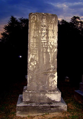
Ornate headstone
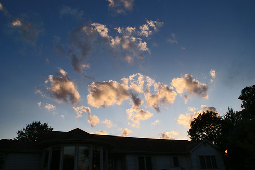
Backlit Clouds
square squareformat hudson iphoneography instagramapp uploaded:by=instagram
#laurel#delaware #clouds
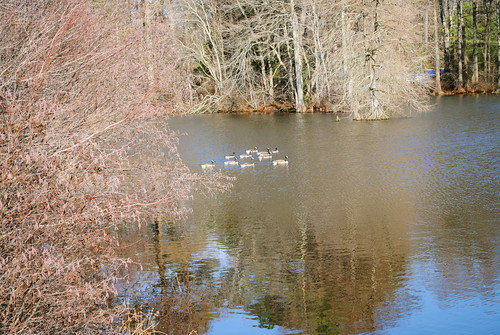
statepark park bird water geese pond goose delaware laurel laurelde trappondstatepark sussexcountyde
Trap Pond State Park
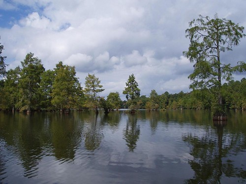
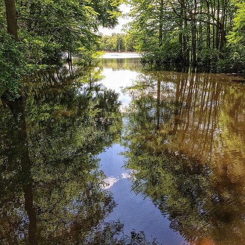
statepark park trees tree water pond cypress delaware baldcypresstrees watertrail treeinwater laurelde trappondstatepark sussexcountyde
Trap Pond State Park
unitedstates conservation science environment restoration delaware monitoring partnership hatchery restocking nanticokeriver americanshad geocity geo:country=unitedstates otherkeywords camera:make=canon exif:make=canon camera:model=canoneos5dmarkii geostate exif:model=canoneos5dmarkii chesapeakebayprogram exif:lens=ef24105mmf4lisusm exif:focallength=24mm exif:aperture=ƒ22 exif:isospeed=100
Upper Nanticoke River in Delaware looking south
statepark park trees tree forest pond woods ramp delaware boatramp laurelde trappondstatepark sussexcountyde
Trap Pond State Park
statepark park bird birds geese delaware laurel laurelde trappondstatepark sussexcountyde
Trap Pond State Park