Elevation of Snowflake Ln, Paradise, CA, USA
Location: United States > California > Butte County > Paradise >
Longitude: -121.60172
Latitude: 39.776939
Elevation: 641m / 2103feet
Barometric Pressure: 94KPa
Elevation Map:
Satellite Map:
Related Photos:

Timeless...

Feeling Blue?

fungus among us... {Explore #62}

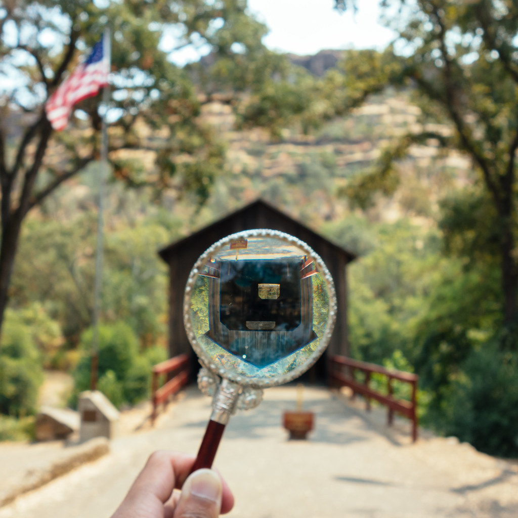
through nature's window

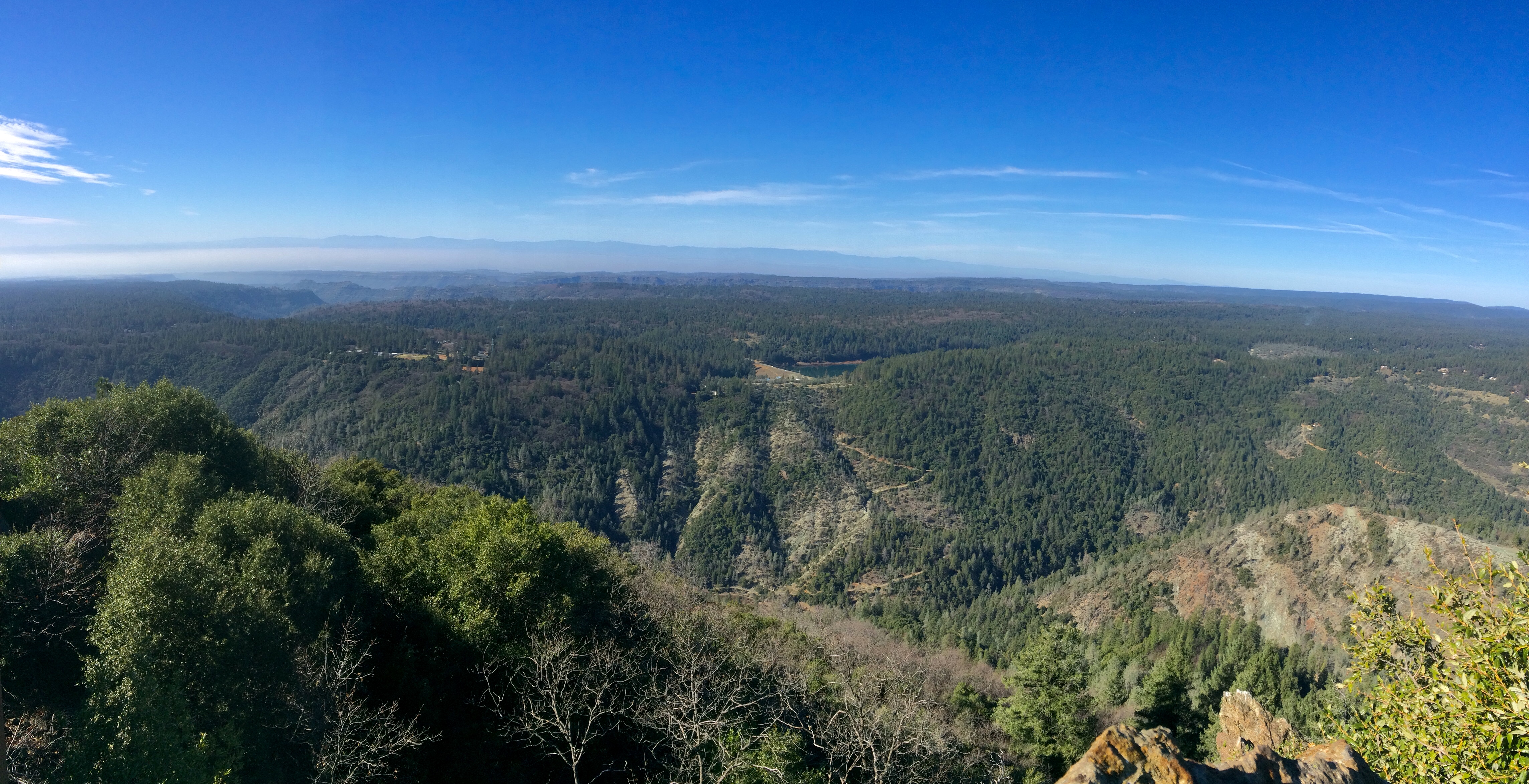
Upper Bidwell Park Hike 2012

Grand view inside cafe

02•52 • dog nose

Wall of many colors

Doorway into the ruins

Her Spirit

Horseshoe Lake at Sunset.
Day 777 [8-5-15]: Honey Run Covered Bridge

Lime Saddle v1.4

diet coke and mentos

Gold and green

obey the earth

View from my grandmother's front door

Horseshoe After Sunset.

Day 585 [1/25/15]: Moving Freckles

Feather River

Dinner style. #saturdaynight #style #styleblogger #views #viewfromhere #chicoca #chico_california
Living on the edge

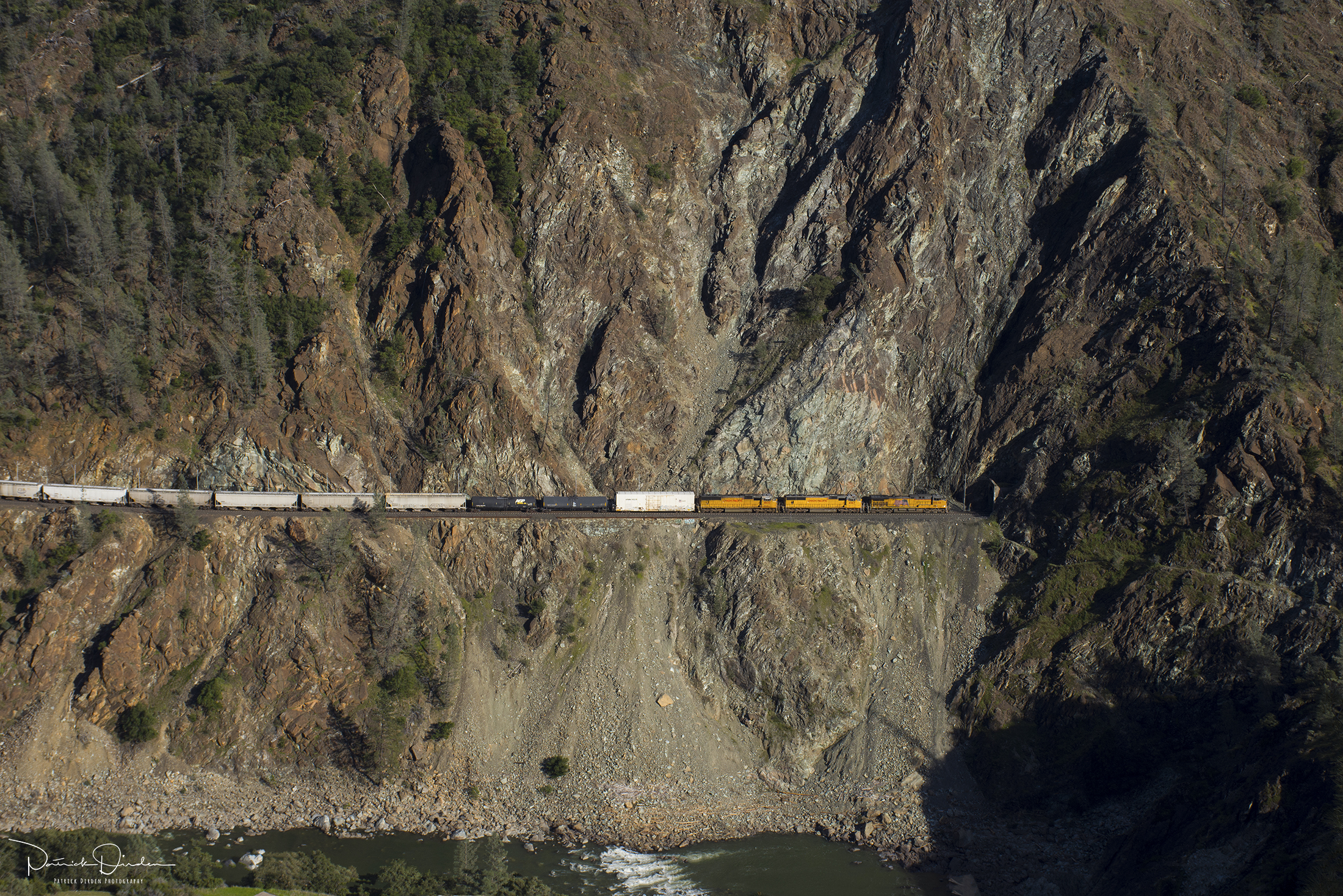
UP 960 East at Poe, CA

Peregrine Point

UP 960 East at James, CA

Warbonnets in the Green Hills of Cali

BNSF Grain Train at Cresta S-Curve
Black Noise

Union Pacific Manifest Along the Rocks at Pulga
Sawmill Peak in February in shorts. 70 and sunny.

BNSF Railway Tackles the Feather River Canyon
photographers shadow 2fer
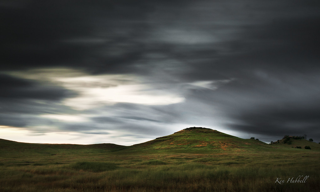
Between the Storms

Bidwell Park is way hecka nice right now! #mtb #surlypugsleyplus #surlypugsley

The Last Stand

7 year itch...

Upper Bidwell Park Hike 2012

Near Salmon Hole, Upper Park

West Branch Feather River Bridge, Oroville, California

Bear Hole Panoramic

Swimming Hole
Topographic Map of Snowflake Ln, Paradise, CA, USA
Find elevation by address:

Places near Snowflake Ln, Paradise, CA, USA:
8596 Skyway
Rocky Lane
8188 Skyway
7002 Montna Dr
7037 Montna Dr
Firland Drive
8672 Skyway
8083 Skyway
987 Waggoner Rd
960 Thomasson Ln
7675 Skyway Rd
6255 Posey Ln
945 Bille Rd
930 Maida Ln
6633 Evergreen Ln
13518 Tufts Ct
6270 Ranger Ct
13588 Witchita Dr
6382 Molinari Ct
13609 Pawn Ct
Recent Searches:
- Elevation of Corso Fratelli Cairoli, 35, Macerata MC, Italy
- Elevation of Tallevast Rd, Sarasota, FL, USA
- Elevation of 4th St E, Sonoma, CA, USA
- Elevation of Black Hollow Rd, Pennsdale, PA, USA
- Elevation of Oakland Ave, Williamsport, PA, USA
- Elevation of Pedrógão Grande, Portugal
- Elevation of Klee Dr, Martinsburg, WV, USA
- Elevation of Via Roma, Pieranica CR, Italy
- Elevation of Tavkvetili Mountain, Georgia
- Elevation of Hartfords Bluff Cir, Mt Pleasant, SC, USA