Elevation of Smiley, TX, USA
Location: United States > Texas > Gonzales County >
Longitude: -97.635828
Latitude: 29.2677433
Elevation: 98m / 322feet
Barometric Pressure: 100KPa
Elevation Map:
Satellite Map:
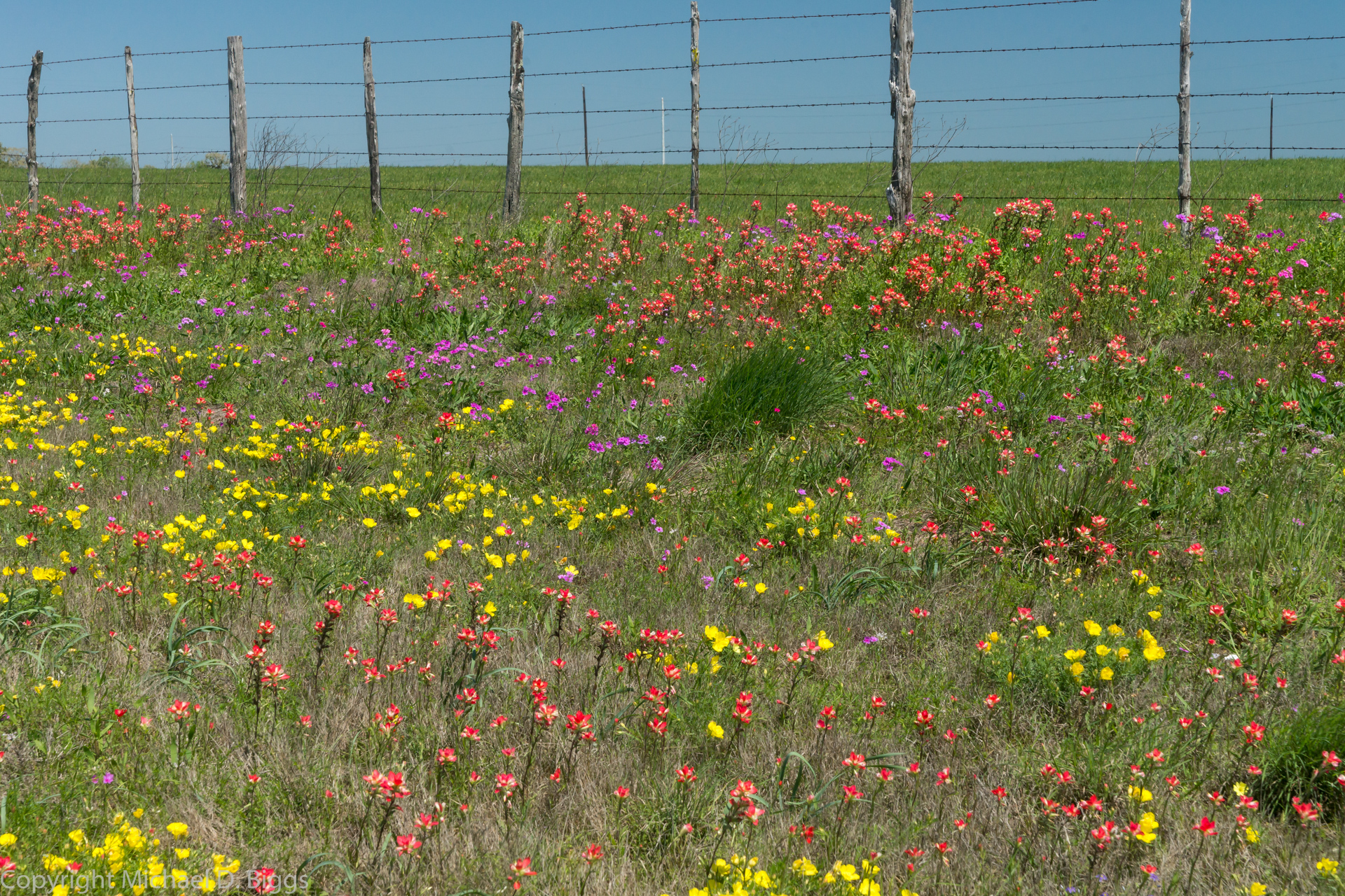
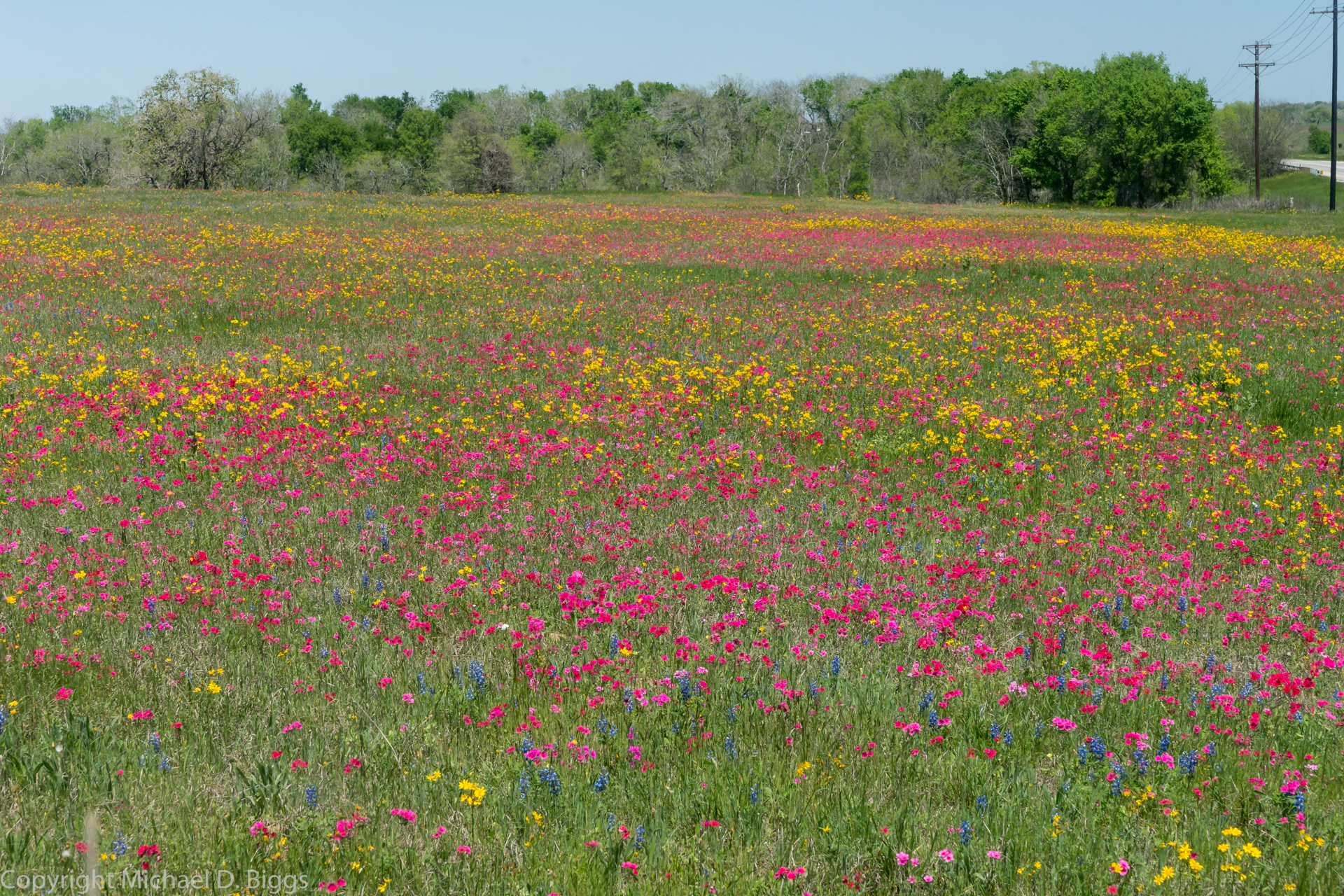
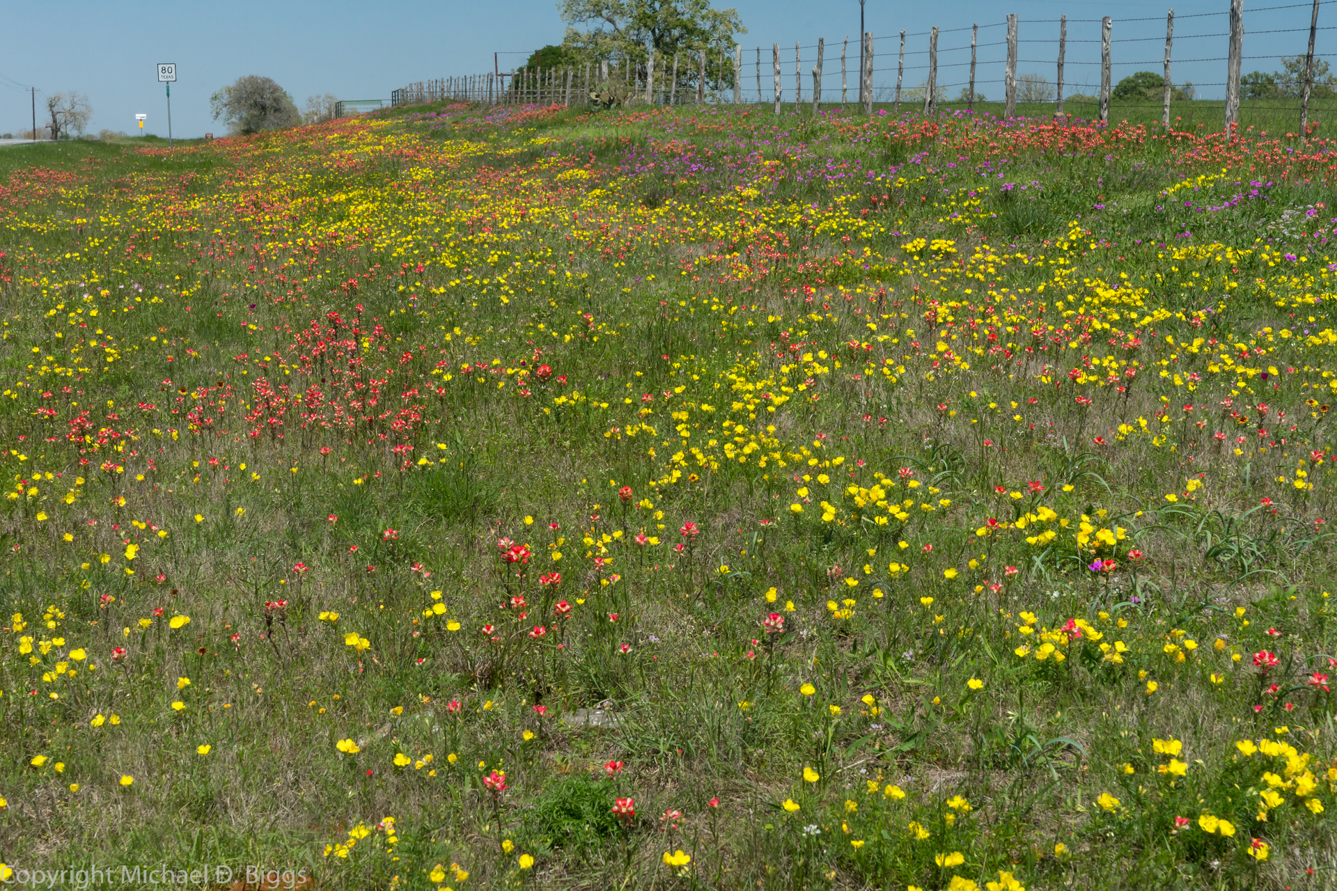
Related Photos:
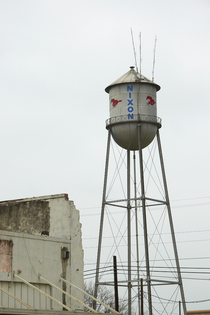
Nixon Mustangs

Hair House

Embracing the Fog

Sunset at the ranch

scout2-23
scout2-22

scout2-18

scout2-19
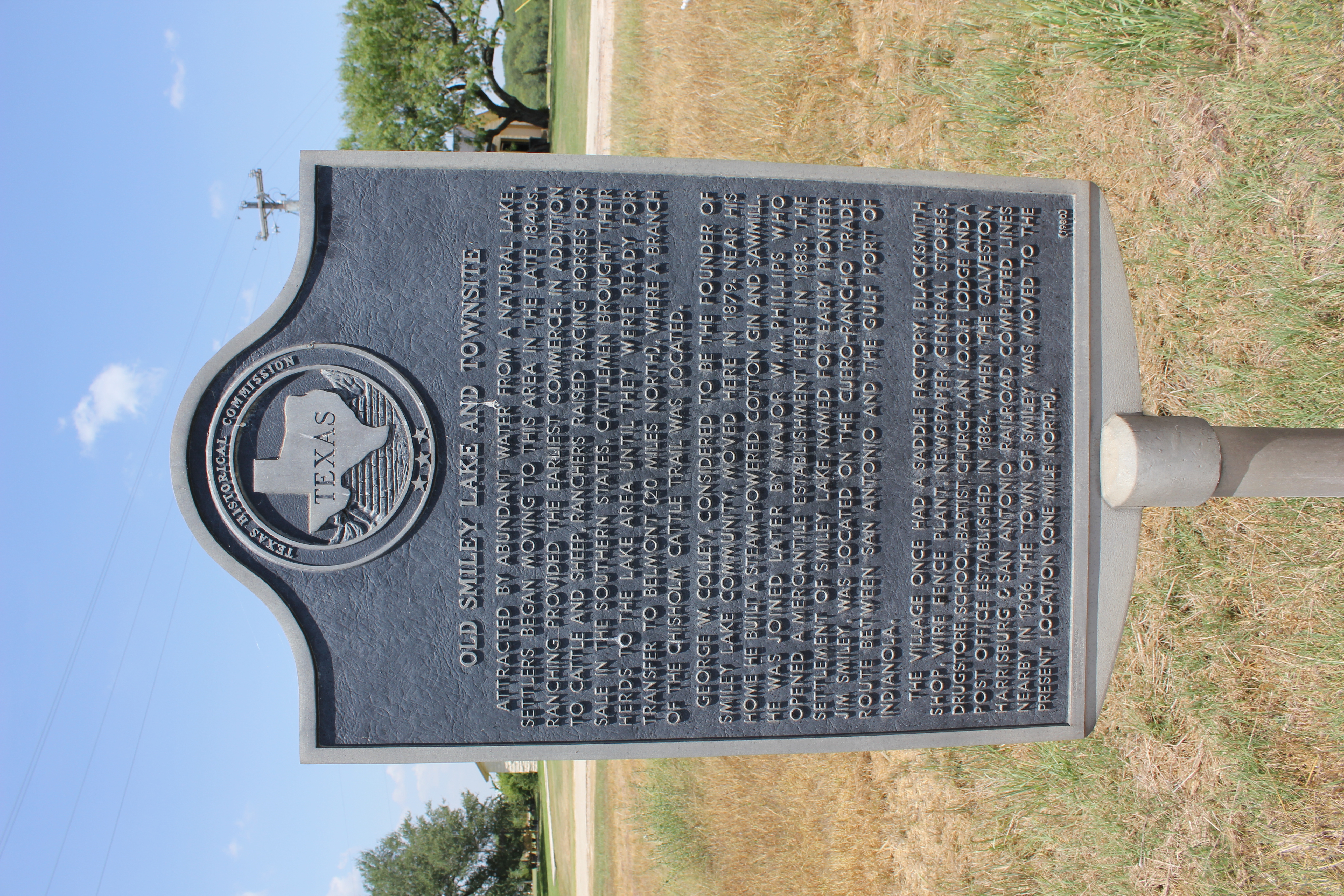
Old Smiley Lake and Townsite, Smiley, Texas Historical Marker
scout2-15

scout2-17
scout2-21
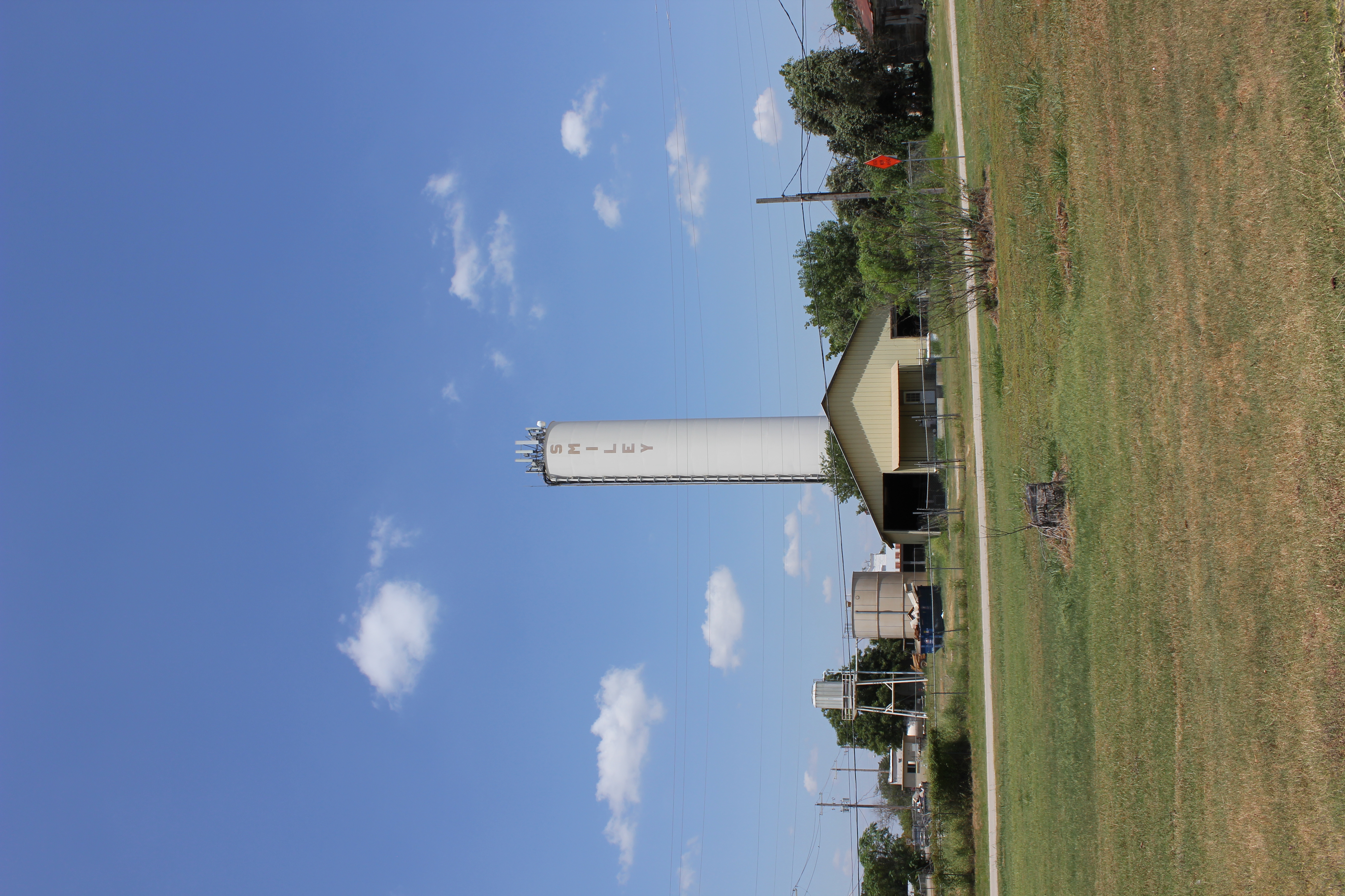
Smiley Watertower
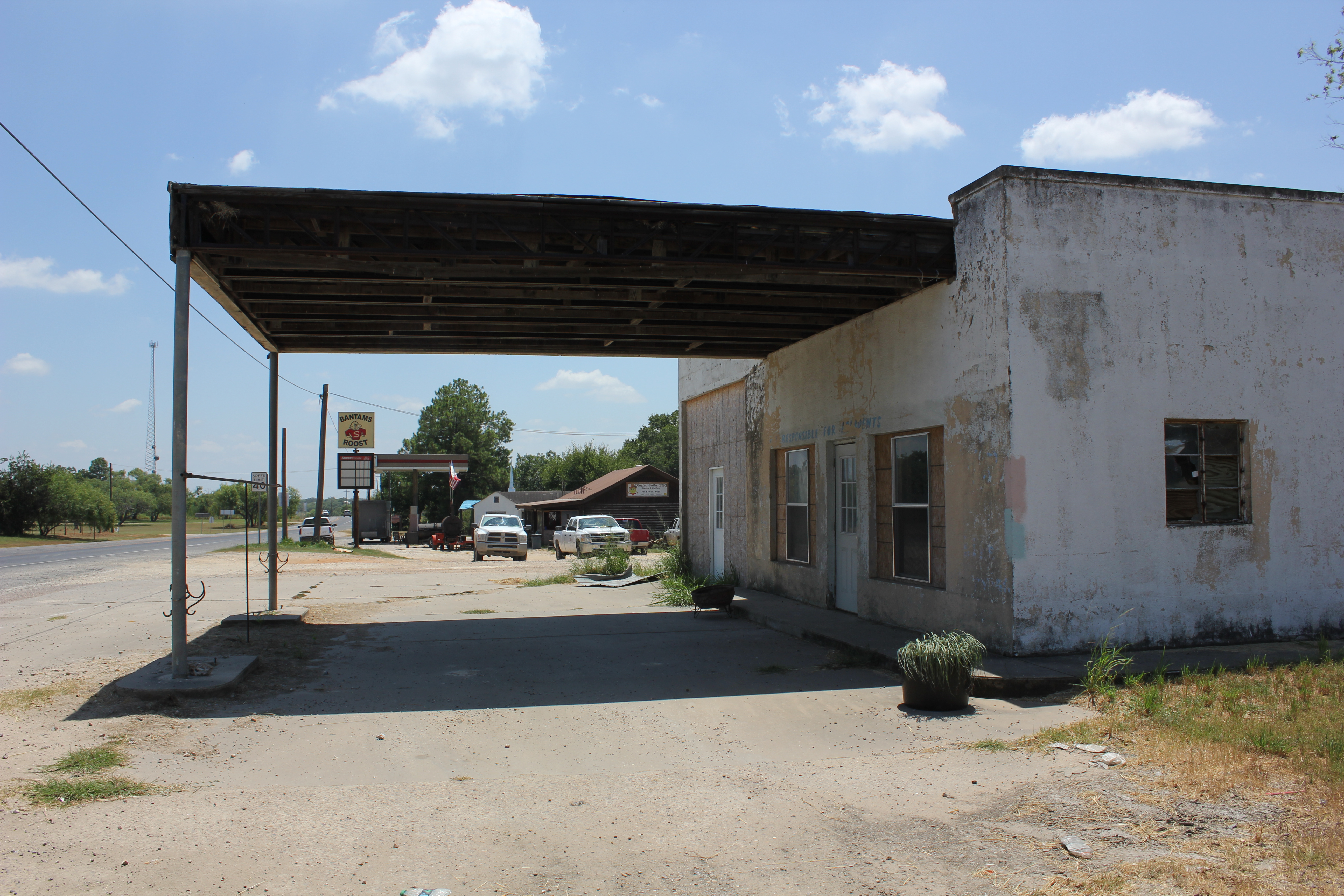
No Fuel
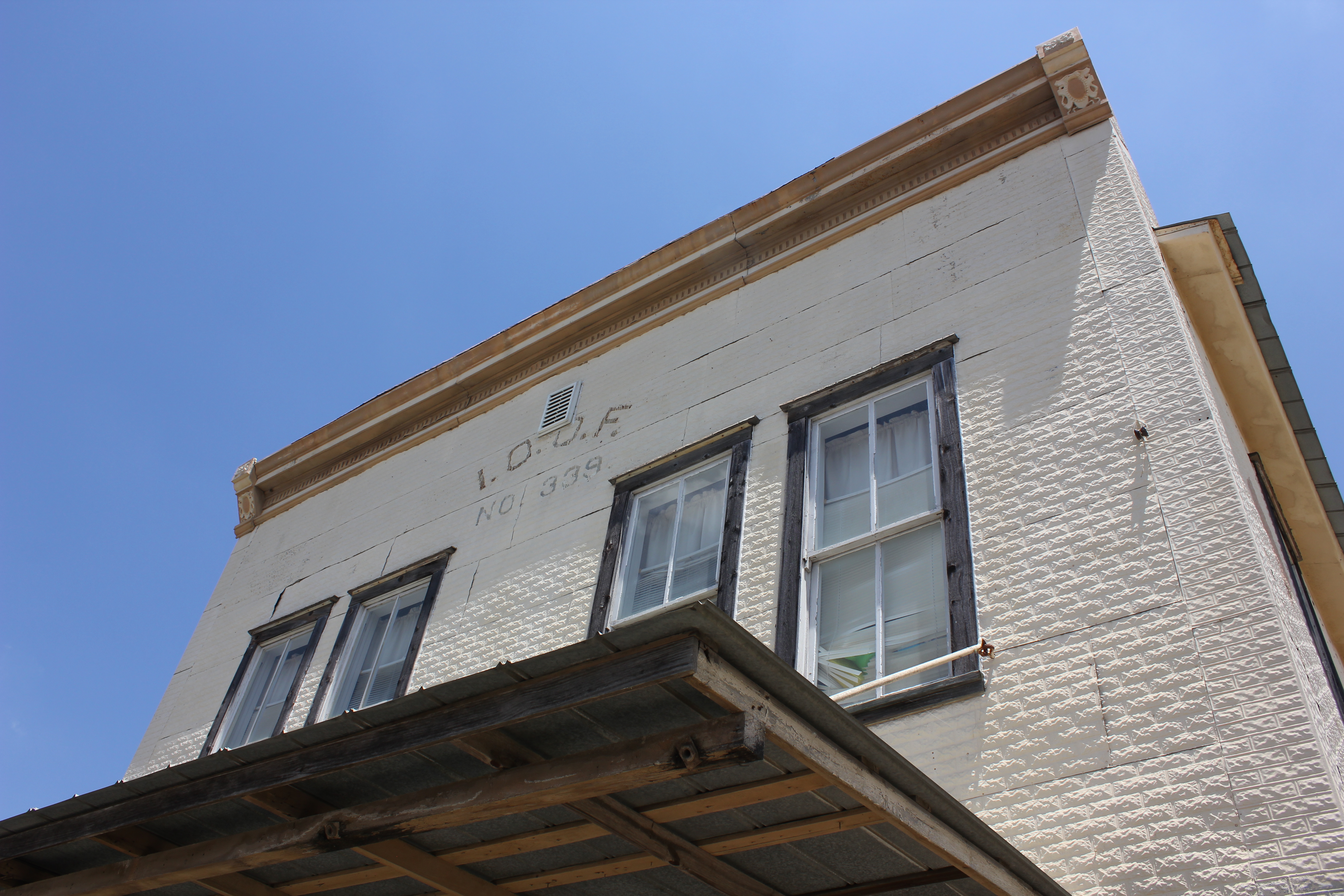
Smiley I.O.O.F. Lodge

Out of Business

WP_20150428_002 (2)

nokia lumia one year of photos january 27th 2014 064

photo 4.1
photo 2
photo 16

photo 13.2
photo 11

photo 1
Topographic Map of Smiley, TX, USA
Find elevation by address:

Places in Smiley, TX, USA:
Places near Smiley, TX, USA:
FM, Smiley, TX, USA
Nixon
FM, Leesville, TX, USA
Westhoff
1653 Co Rd 105
5628 Fm1116
Gillett
Farm To Market 1681
Gonzales County
Lake Wood Recreation Area
Ecleto
1035 Red Rd
FM, Ecleto, TX, USA
Cr, Stockdale, TX, USA
272 Mesa Trail
Ecleto, TX, USA
410 Village Dr
410 Village Dr
Gonzales
St Lawrence St, Gonzales, TX, USA
Recent Searches:
- Elevation of Corso Fratelli Cairoli, 35, Macerata MC, Italy
- Elevation of Tallevast Rd, Sarasota, FL, USA
- Elevation of 4th St E, Sonoma, CA, USA
- Elevation of Black Hollow Rd, Pennsdale, PA, USA
- Elevation of Oakland Ave, Williamsport, PA, USA
- Elevation of Pedrógão Grande, Portugal
- Elevation of Klee Dr, Martinsburg, WV, USA
- Elevation of Via Roma, Pieranica CR, Italy
- Elevation of Tavkvetili Mountain, Georgia
- Elevation of Hartfords Bluff Cir, Mt Pleasant, SC, USA