Elevation of FM, Ecleto, TX, USA
Location: United States > Texas > Karnes County > Ecleto >
Longitude: -97.757267
Latitude: 29.0457338
Elevation: 109m / 358feet
Barometric Pressure: 100KPa
Elevation Map:
Satellite Map:
Related Photos:
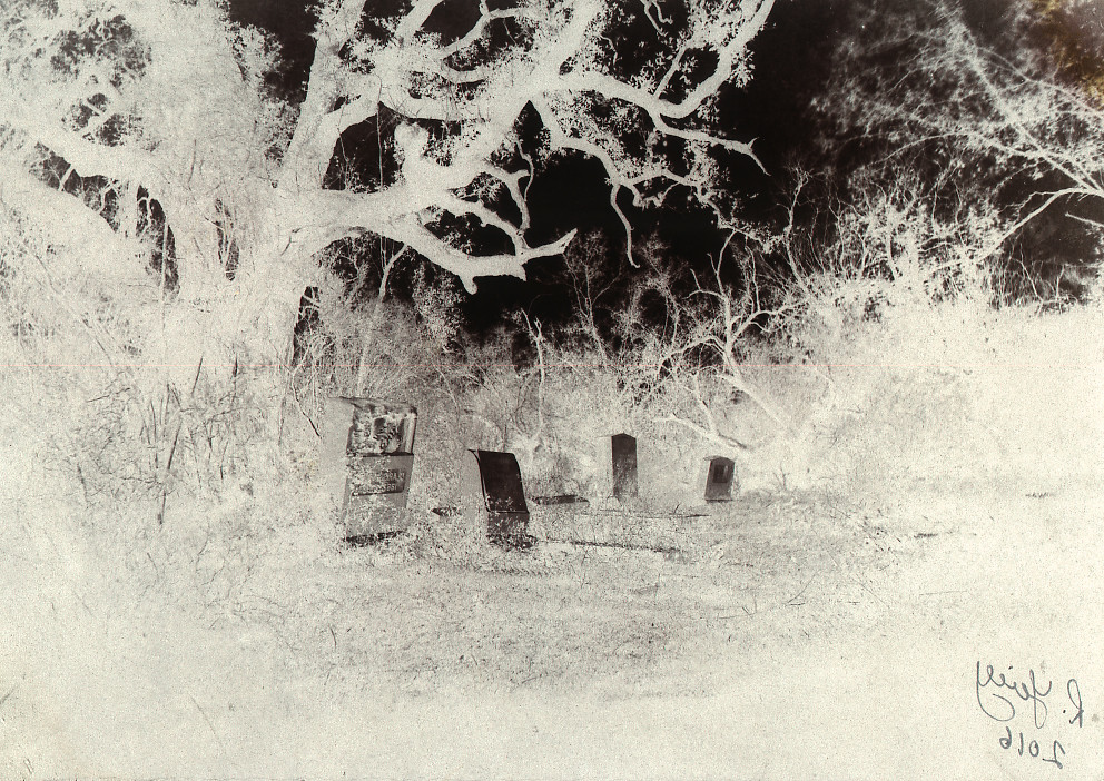
Flaccus Cemetery

Mexican Hat

Bank It

The Lonely Horse
Baby Live Oak

WP_20150426_003 (2)

2015-02-15_05-20-41
Topographic Map of FM, Ecleto, TX, USA
Find elevation by address:

Places near FM, Ecleto, TX, USA:
Ecleto
Ecleto, TX, USA
Gillett
County Rd, Karnes City, TX, USA
Panna Maria
Runge
Nordheim Cemetery
Karnes County
Nordheim Cemetery Road
Nordheim
Fm E, Stockdale, TX, USA
711 Helena Rd
400 Tx-123
Karnes City
Nixon
130 Bluebonnet Dr
Kenedy
W Main St, Kenedy, TX, USA
Hobson
302 Tx-72
Recent Searches:
- Elevation of Corso Fratelli Cairoli, 35, Macerata MC, Italy
- Elevation of Tallevast Rd, Sarasota, FL, USA
- Elevation of 4th St E, Sonoma, CA, USA
- Elevation of Black Hollow Rd, Pennsdale, PA, USA
- Elevation of Oakland Ave, Williamsport, PA, USA
- Elevation of Pedrógão Grande, Portugal
- Elevation of Klee Dr, Martinsburg, WV, USA
- Elevation of Via Roma, Pieranica CR, Italy
- Elevation of Tavkvetili Mountain, Georgia
- Elevation of Hartfords Bluff Cir, Mt Pleasant, SC, USA