Elevation of FM, Smiley, TX, USA
Location: United States > Texas > Gonzales County > Smiley >
Longitude: -97.522398
Latitude: 29.2936354
Elevation: 86m / 282feet
Barometric Pressure: 100KPa
Elevation Map:
Satellite Map:
Related Photos:
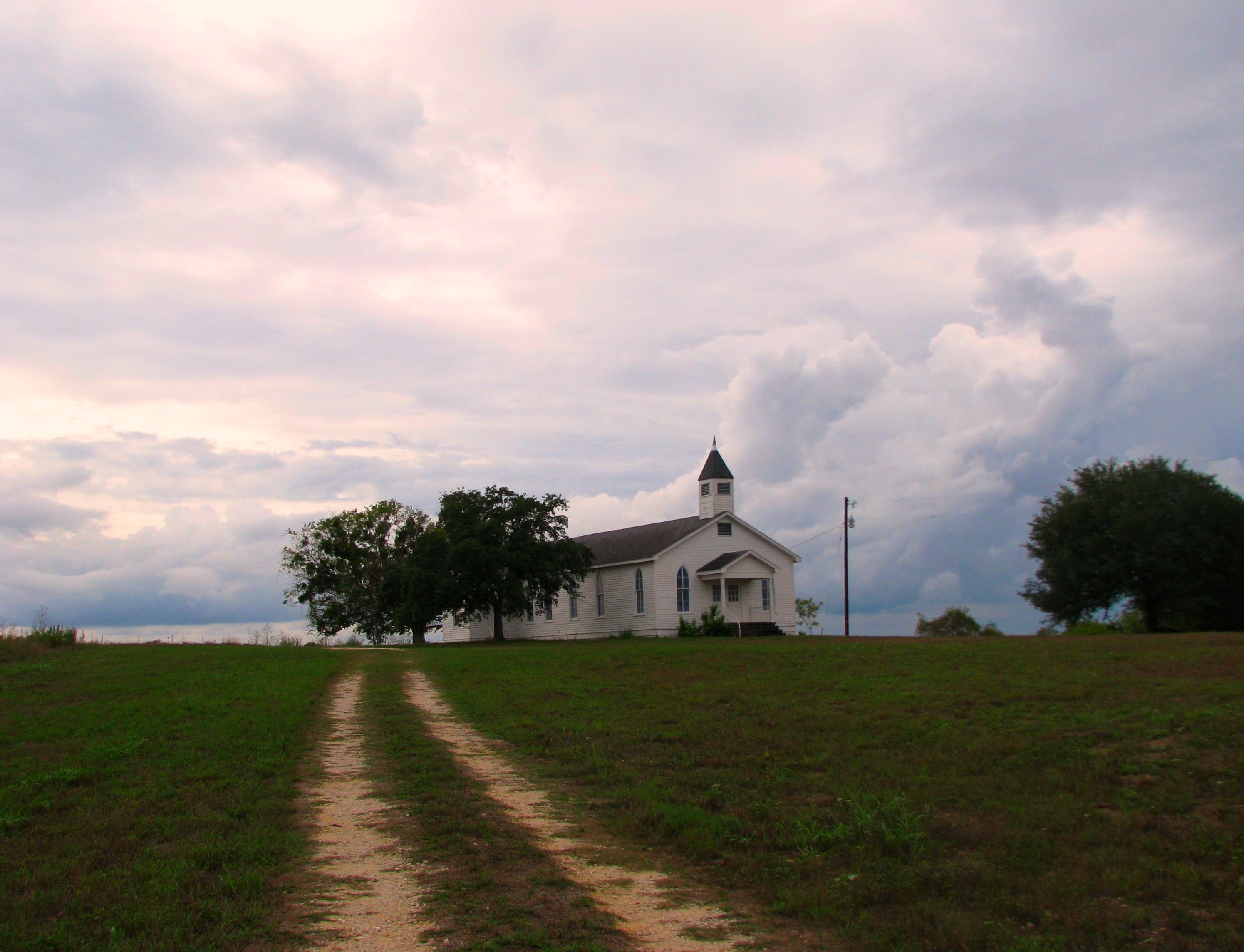
Picture A Day October 19, 2009 - Angry Clouds at Cheapside

Picture A Day October 3, 2009 - Scarlet Pea (Indigofera miniata) at Cheapside

Embracing the Fog

Dirt Road

Sunset at the ranch

nokia lumia one year of photos january 27th 2014 121

Cheapside, Tx.
Nokia Lumia 002

a_night__s_road_by_swaynv-d32hbjg

Cheapside, Texas

Bluebonnets and Huisache Daisies -- Spring 2004
Topographic Map of FM, Smiley, TX, USA
Find elevation by address:

Places near FM, Smiley, TX, USA:
5628 Fm1116
Westhoff
Smiley
Lake Wood Recreation Area
Gonzales County
410 Village Dr
410 Village Dr
401 St Paul St
St Lawrence St, Gonzales, TX, USA
Gonzales
720 St Paul St
1653 Co Rd 105
City of Hochheim Rd, Yoakum, TX, USA
Dewitt County
825 Sarah Dewitt Dr
Nixon
Lindenau Rd, Cuero, TX, USA
FM, Leesville, TX, USA
1729 Co Rd 344
910 N Indianola St
Recent Searches:
- Elevation of Corso Fratelli Cairoli, 35, Macerata MC, Italy
- Elevation of Tallevast Rd, Sarasota, FL, USA
- Elevation of 4th St E, Sonoma, CA, USA
- Elevation of Black Hollow Rd, Pennsdale, PA, USA
- Elevation of Oakland Ave, Williamsport, PA, USA
- Elevation of Pedrógão Grande, Portugal
- Elevation of Klee Dr, Martinsburg, WV, USA
- Elevation of Via Roma, Pieranica CR, Italy
- Elevation of Tavkvetili Mountain, Georgia
- Elevation of Hartfords Bluff Cir, Mt Pleasant, SC, USA