Elevation of Slater Creek Rd, Florissant, CO, USA
Location: United States > Colorado > Florissant >
Longitude: -105.35021
Latitude: 38.8418591
Elevation: 2549m / 8363feet
Barometric Pressure: 74KPa
Elevation Map:
Satellite Map:
Related Photos:

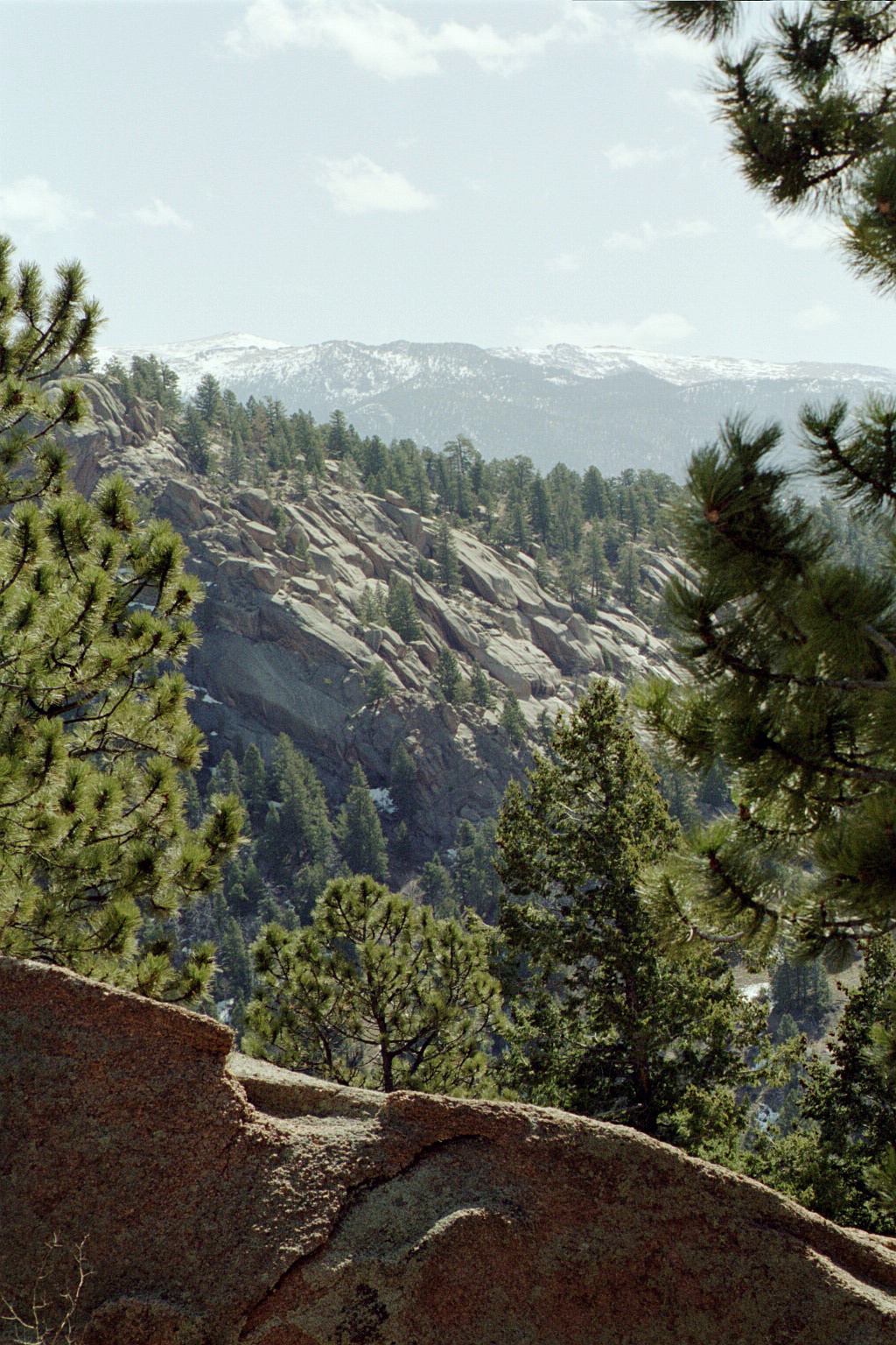
Ancient Sentinel Lookout
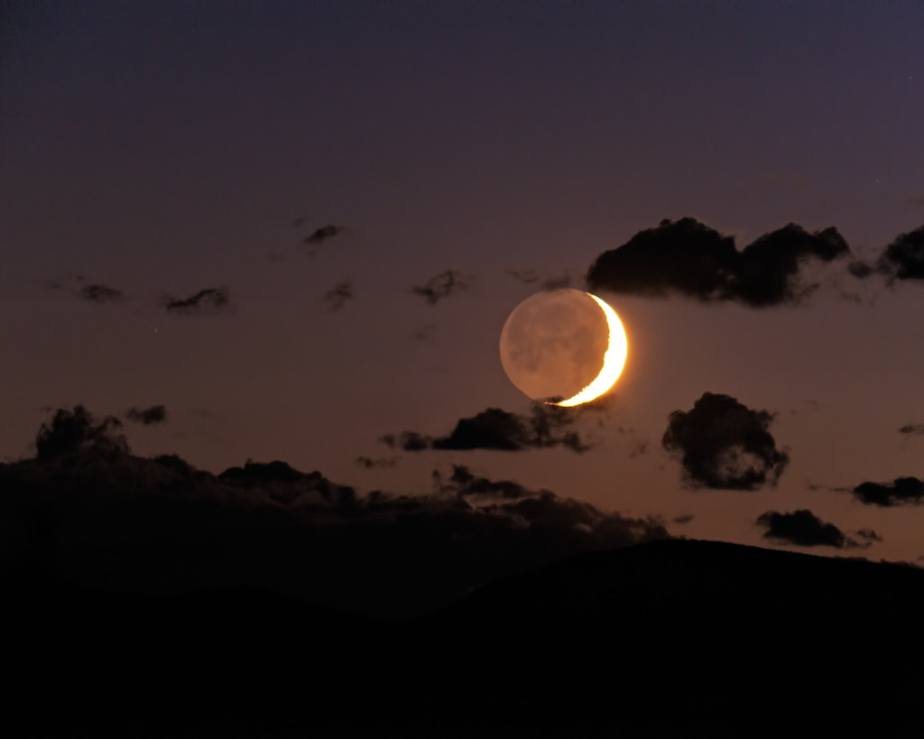
Goodnight Moon

Pike's Peak Monsoonal Flow

Bursting Through the Riparian on Fourmile Creek

2010 Perseid Meteor Shower Composite

Dome Rock State Wildlife Area

Water falling from the sky

Aspen Grove
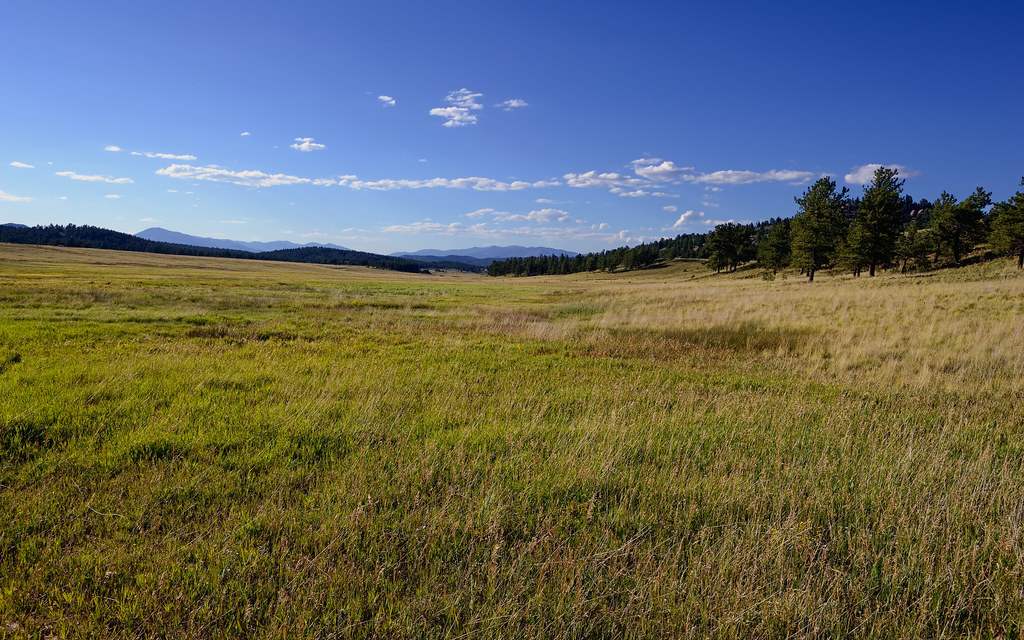
Montane Grasslands of Florissant Fossil Beds National Monument

Picture from Dome Rock State Wildlife Area

mountain living

Higher than the Highest

B-Lazy-M Ranch

The Rockies

B-Lazy-M Ranch

B-Lazy-M Ranch

B-Lazy-M Ranch
B-Lazy-M Ranch

Camping - Mueller

Picture from Dome Rock State Wildlife Area

B-Lazy-M Ranch

Pikes Peak Granite Dome

Oh The Yellow!
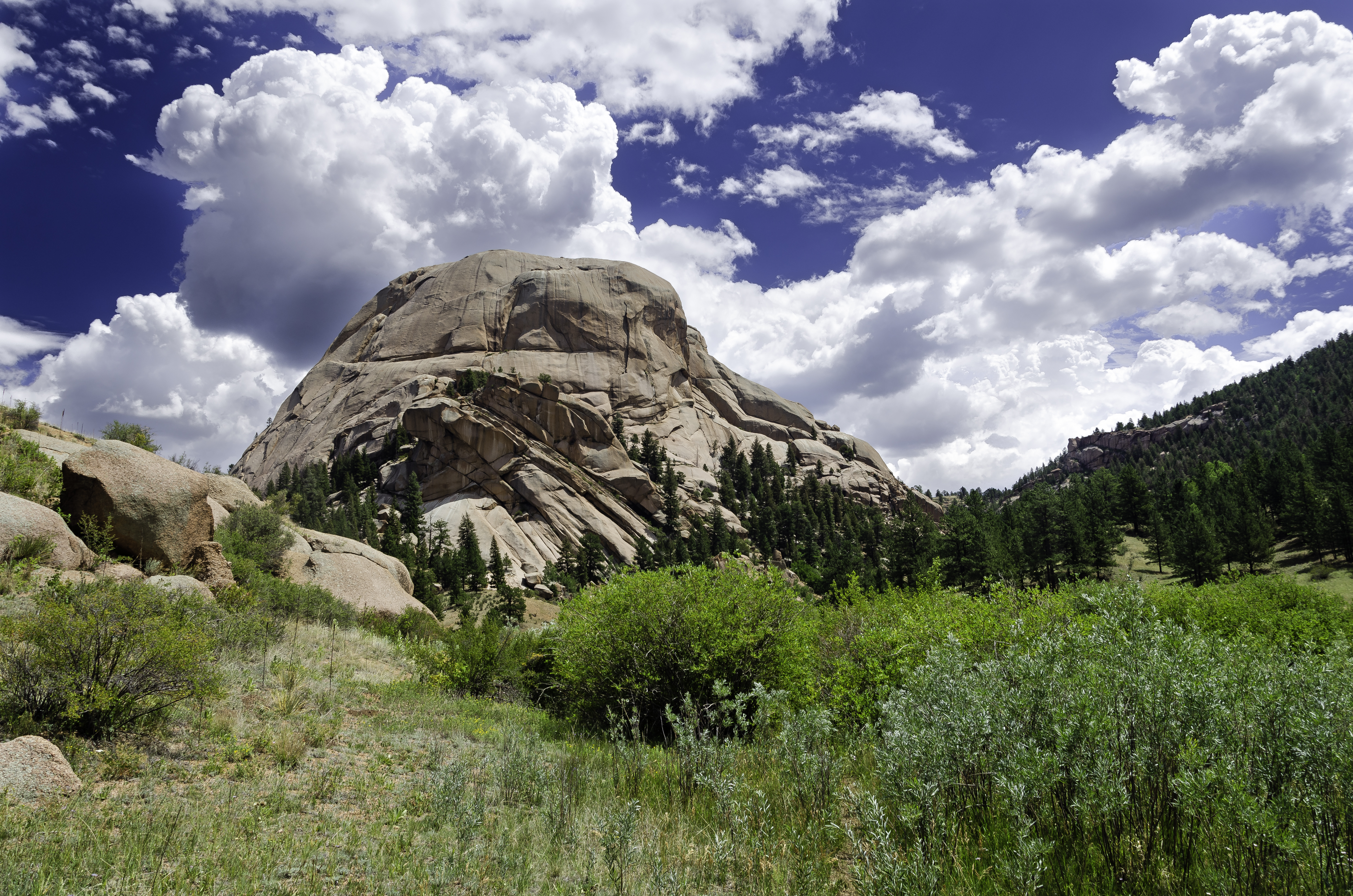
Dome Rock and Summer Clouds

The Colors of Winter

Another from 2010's Perseids Meteor Shower

Eleven mile canyon

Clouds Over Lake George

South Platte Reflections

Aspin Trail

Adeline Hornbek Homestead

Water Over the Dam
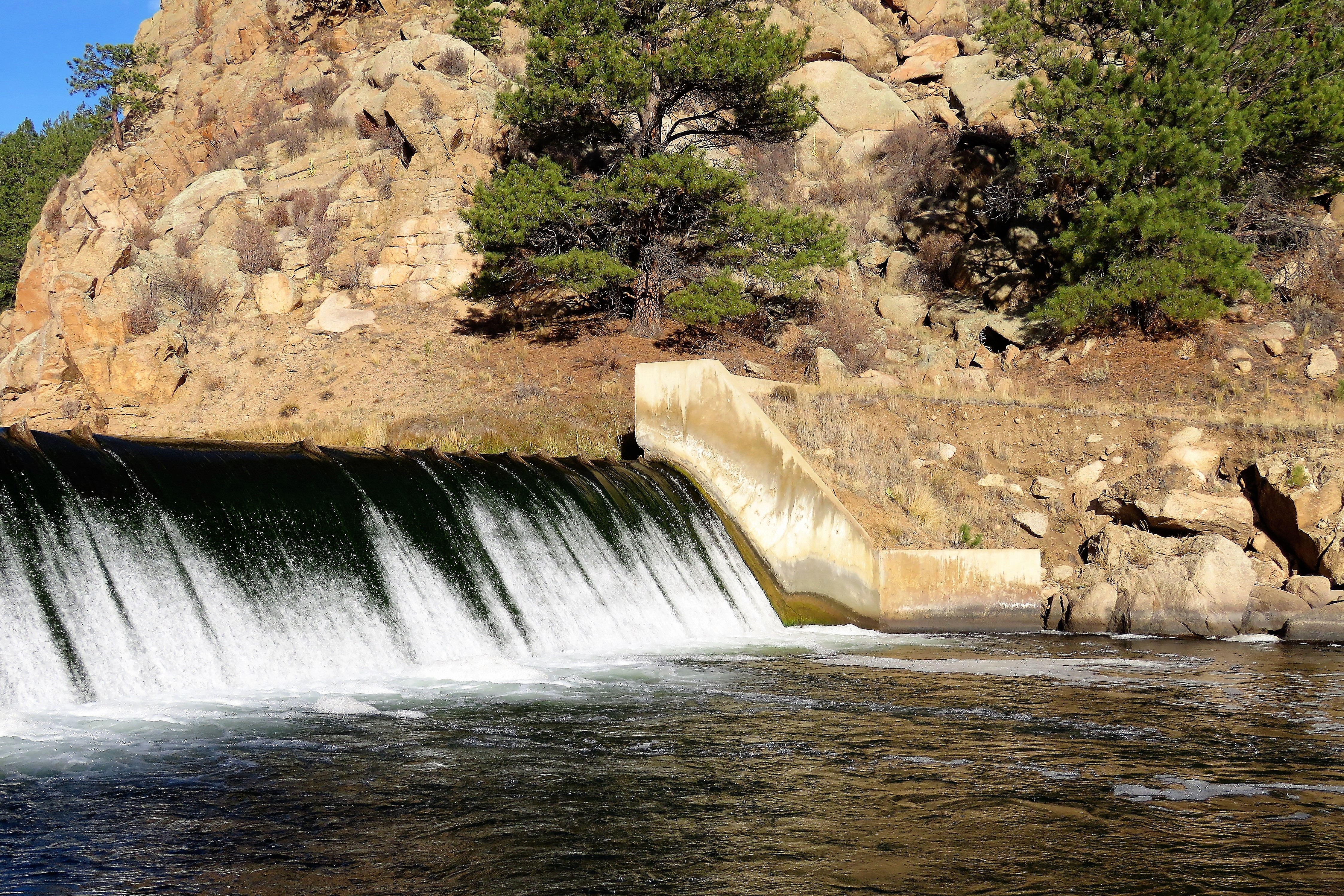
Running Water

Dome Rock Hike-HDR

Cloudy Morn

wetstone.jpg
Topographic Map of Slater Creek Rd, Florissant, CO, USA
Find elevation by address:

Places near Slater Creek Rd, Florissant, CO, USA:
404 Slater Creek Rd
404 Slater Creek Rd
404 Slater Creek Rd
Slater Creek Drive
296 Slater Creek Rd
36 Valley Cir
Langnis Road
1421 Timber Mesa
Timber Mesa
25 Arrowhead Dr
569 Irwin Dr
416 Arrowhead Dr
96 Irwin Dr
252 Irwin Dr
198 Chateau W Dr
228 Cottonwood Way
198 Chateau Vista
99 Peak Dr
930 Doe Valley Rd
277 Elk View Rd
Recent Searches:
- Elevation of Corso Fratelli Cairoli, 35, Macerata MC, Italy
- Elevation of Tallevast Rd, Sarasota, FL, USA
- Elevation of 4th St E, Sonoma, CA, USA
- Elevation of Black Hollow Rd, Pennsdale, PA, USA
- Elevation of Oakland Ave, Williamsport, PA, USA
- Elevation of Pedrógão Grande, Portugal
- Elevation of Klee Dr, Martinsburg, WV, USA
- Elevation of Via Roma, Pieranica CR, Italy
- Elevation of Tavkvetili Mountain, Georgia
- Elevation of Hartfords Bluff Cir, Mt Pleasant, SC, USA