Elevation of Skyview Dr, Hayesville, NC, USA
Location: United States > North Carolina > Clay County > Shooting Creek >

Longitude: -83.626570

Latitude: 35.0251254

Elevation: 770m / 2526feet

Barometric Pressure: 92KPa

Elevation Map:

elevation map of Skyview Dr, Hayesville, NC, USA
Satellite Map:

Satellite map of Skyview Dr, Hayesville, NC, USA
Related Photos:

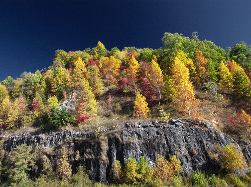
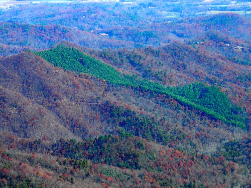
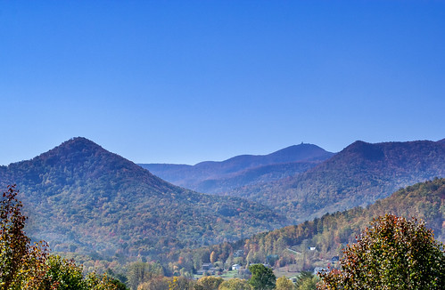
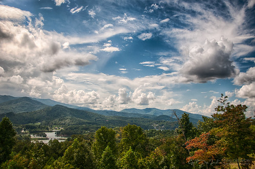
blue autumn red usa mountain tree fall nature leaves yellow forest landscape outdoors fire leaf nc scenery view unitedstates south great scenic northcarolina ridge southern parkway vista smoky appalachia attraction deepsouth carolinas
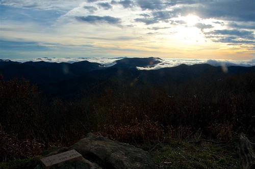
Smoky Mountains on Fire (II)
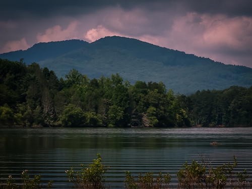
georgia nikon coolpix albany pointandshoot cohutta ellijay p7100 roybrown roybrownphotography roycohutta
Cephalanthus occidentalis (Buttonbush)
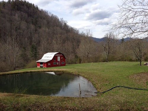
barn view powells tatecity seetatecity
See Tate City
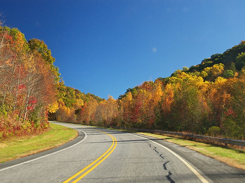
blue autumn red usa mountain tree fall nature leaves yellow forest landscape outdoors fire leaf nc scenery view unitedstates south great scenic northcarolina ridge southern parkway vista smoky attraction carolinas deepsouthappalachia
Smoky Mountains on Fire (III)
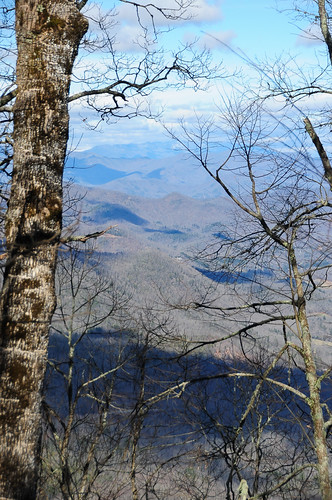
View from Silar Bald
Standing Indian22
franklin us unitedstates northcarolina appalachiantrail sota at summitsontheair yaesuft817 ki4svm lnrtrailfriendlyendfedz rockycoveknob
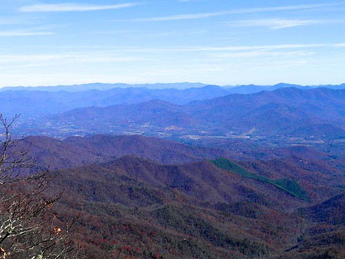
View from W4C/WM-065 - Rocky Cove Knob
Standing Indian24
ga sota summitsontheair bellknob alexloop elecraftkx3 ki4svm w4gng035
View from Bell Knob - W4G/NG-035
ga sota summitsontheair bellknob alexloop elecraftkx3 ki4svm w4gng035
View from Bell Knob - W4G/NG-035
trees mountains
View from Wolfstake Knob
bald sota siler summitsontheair elecraftkx3 ki4svm 88doublet w4cwm024 hardrock50
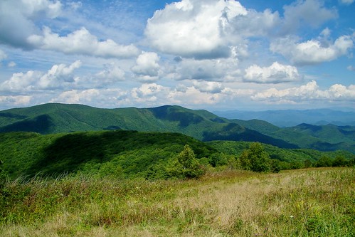
W4C/WM-024 - Siler Bald View
ga sota summitsontheair bellknob alexloop elecraftkx3 ki4svm w4gng035
View of Eagle Mountain - W4G/NG-008
Standing Indian23
bald sota siler summitsontheair elecraftkx3 ki4svm 88doublet w4cwm024 hardrock50
W4C/WM-024 - Siler Bald View
wolf knob sota summitsontheair elecraftkx3 ki4svm lnrtrailfriendlyendfedz w4gng012
View from W4G/NG-012 - Wolf Knob
october fallcolor northcarolina 2006 claycounty ncmountains october2006 lakesandponds chatugelake
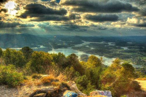
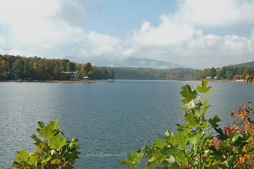
Backlit - Lake Chatuge, North Carolina
bald sota siler summitsontheair elecraftkx3 ki4svm 88doublet w4cwm024 hardrock50
W4C/WM-024 - Siler Bald View
october fallcolor northcarolina 2006 claycounty ncmountains october2006 lakesandponds chatugelake
Clearing - Lake Chatuge, North Carolina
hiking northcarolina
K20D8831-3
spring wine bald appalachian nantahala wayah silers
Silers Bald
vacation sky panorama terrain usa cloud mountain lake tree beach water weather rock georgia landscape day cloudy hills shore features hiawassee edrosack
Chattuge Lake
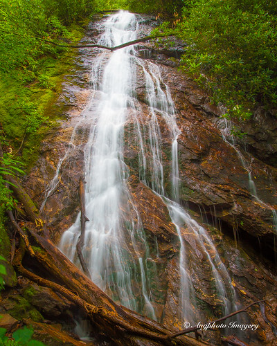
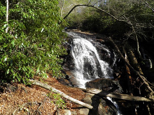
usa nature water franklin us waterfall nc augphotoimagery
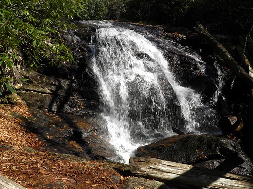
Rufus Morgan Falls
autumn trees mountains color fall colors leaves ga georgia season us smalltown northgeorgia hiawassee
Hiawassee - Happy Sliders Sunday
georgia us waterfall unitedstates fineart tatecity dentonbranchfalls tobygant tobygantphotography
Denton Branch Falls-Toby Gant-2014
creek sunrise canon north carolina shooting 5dmkii 2470mm28lii
Shooting Creek Sunrise_IMG_20150509_2727
canon dawn 5d mkii 2470mm28lii
Shooting Creek_IMG_20150509_2722
Sunrise Shooting Creek_IMG_20150509_2723
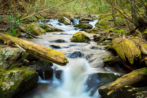
longexposure mountain river georgia stream tallulahriver tatecity thephotographyblog uploaded:by=flickrmobile flickriosapp:filter=nofilter
Impressions of fall
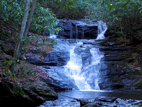
water waterfall hiking northgeorgia candysshot kilbymillfalls panasoniclumixg1
Kilby Mill Falls
lake mountains green water georgia hills hiawassee lakechatuge silverpop nikond300 afsdxnikkor18200mmf3556gedvr
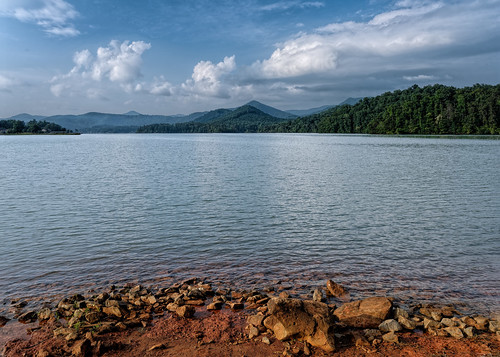
Lake Chatuge
Standing Indian20
trip family snow mountains cars ice fun climb nc tn roadtrip trucks
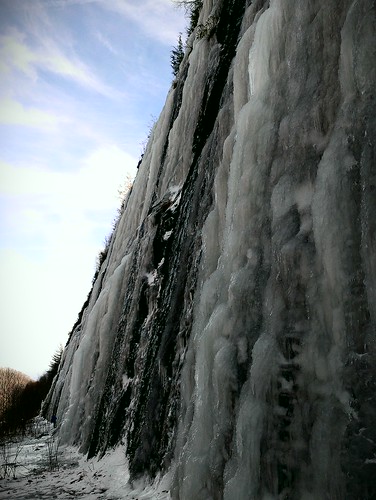
Interstate ice wall
Standing Indian19
Standing Indian9
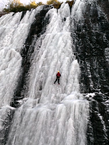
trip family snow mountains cars ice fun climb nc tn roadtrip trucks
Interstate ice climbers
road usa fall leaves franklin us unitedstates northcarolina roadtrip dirtroad
Fall colors
Standing Indian12
unitedstates northcarolina smithbridge
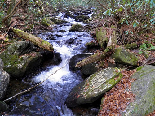
Mooney Creek