Elevation of Eagle Fork Rd, Hayesville, NC, USA
Location: United States > North Carolina > Clay County > Hayesville > Hayesville >
Longitude: -83.628162
Latitude: 35.012216
Elevation: 687m / 2254feet
Barometric Pressure: 93KPa
Elevation Map:
Satellite Map:
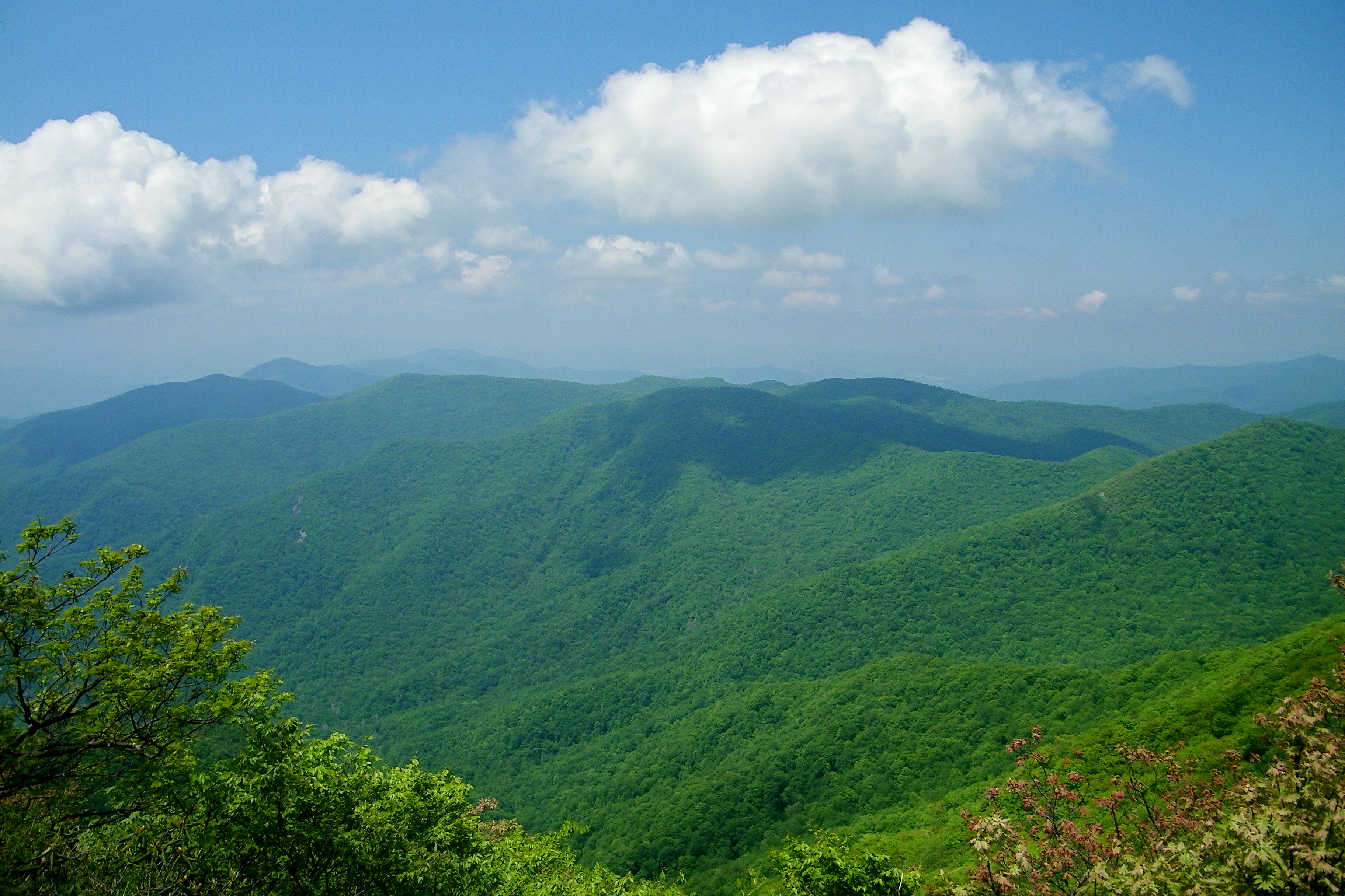
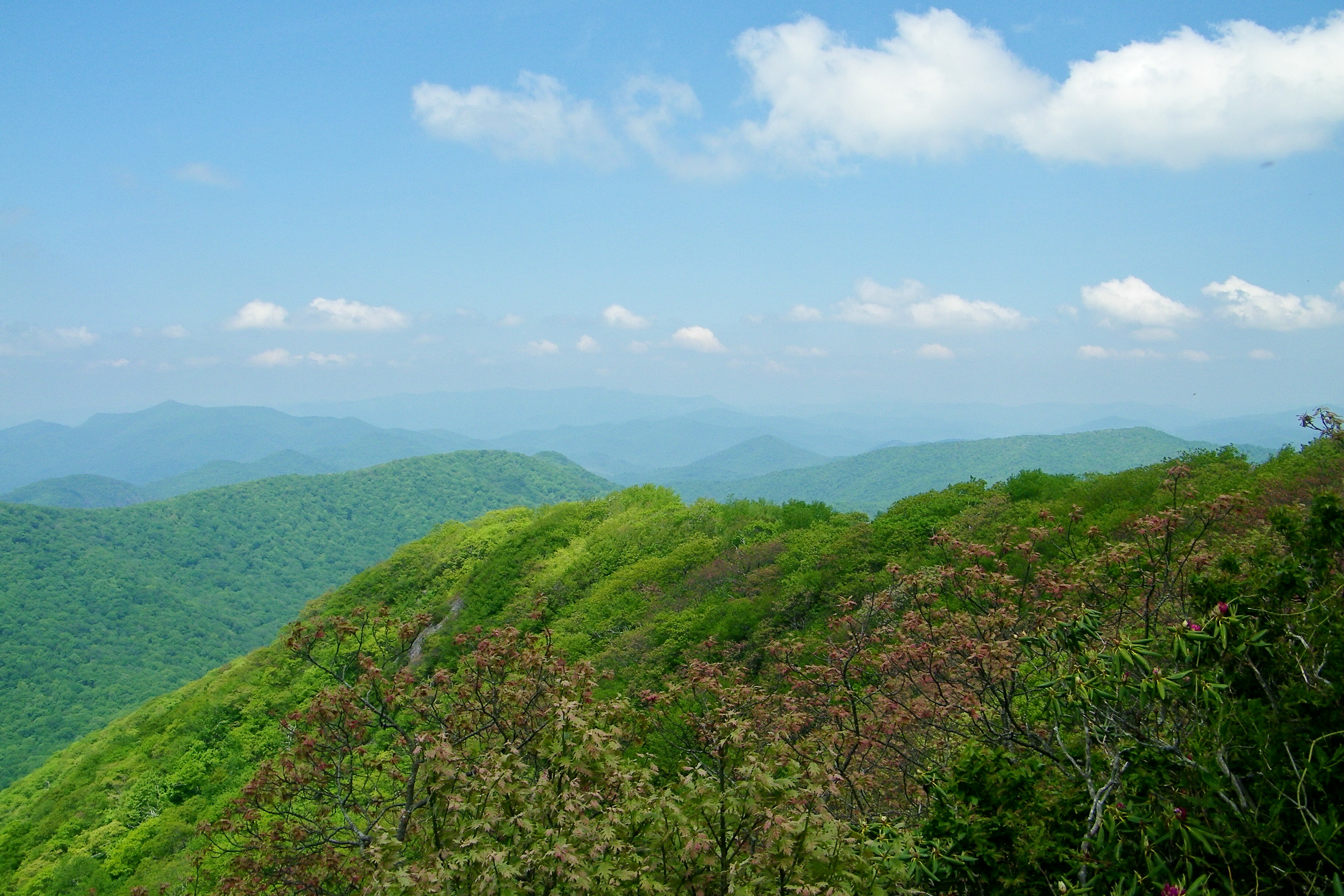
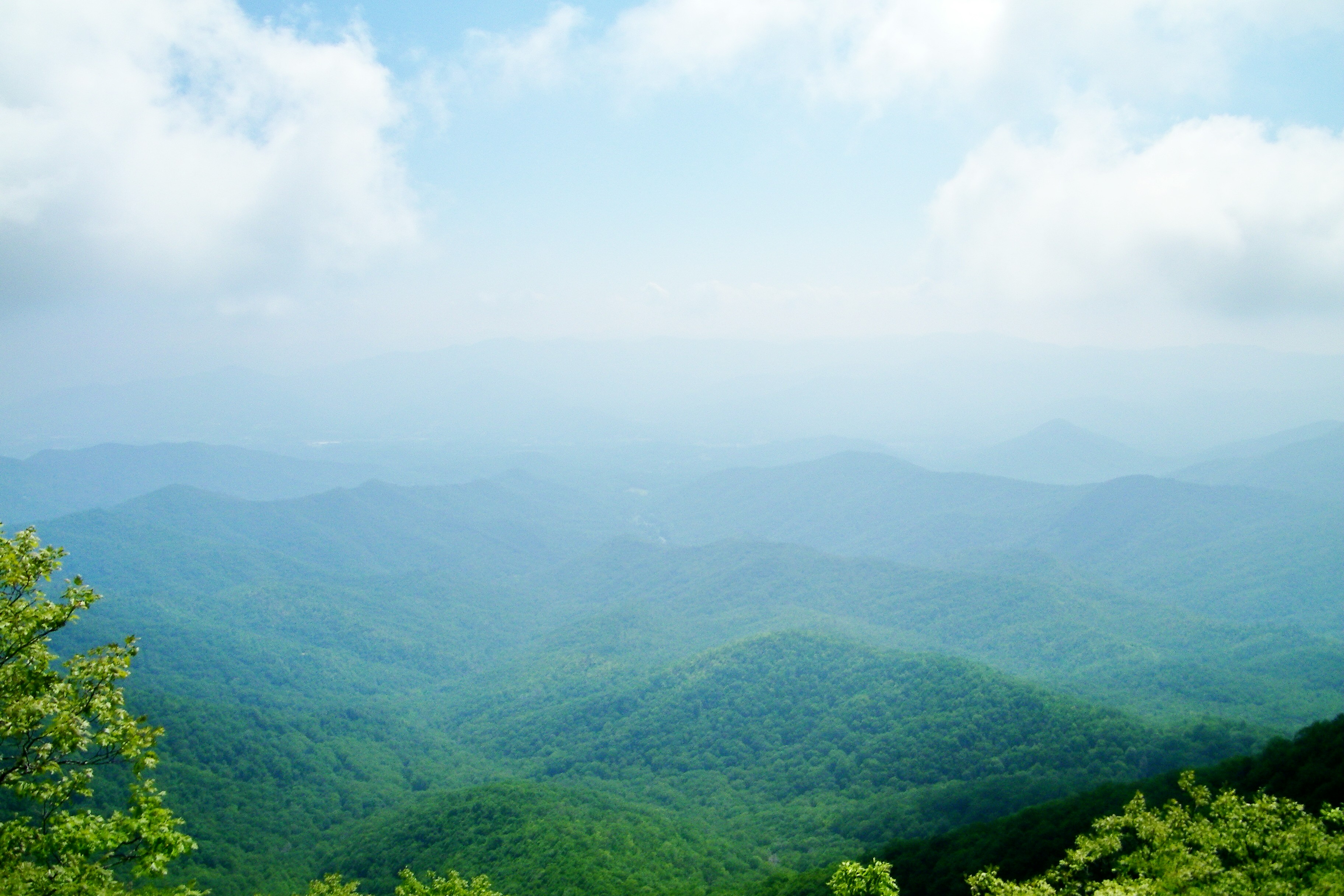
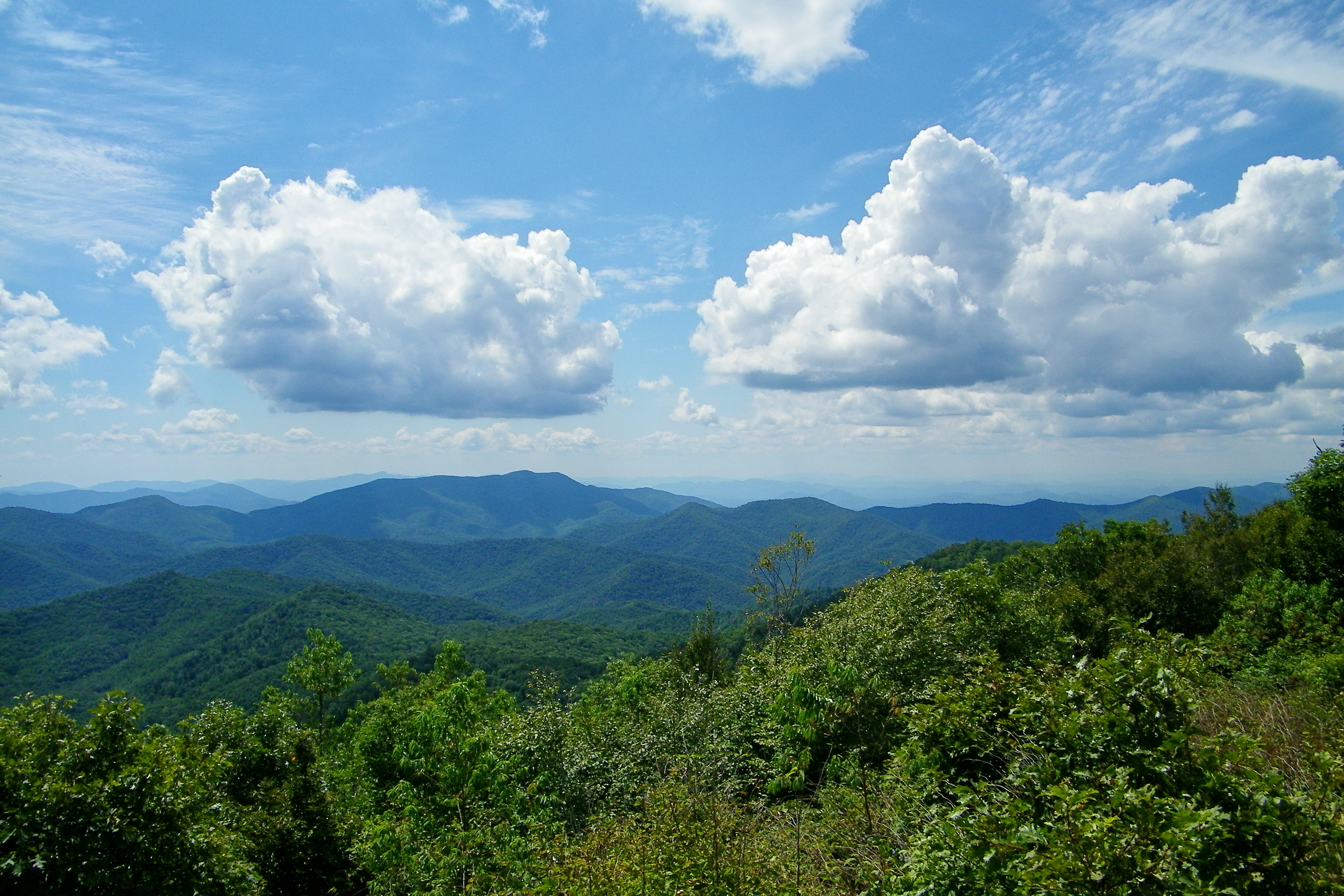
Related Photos:

Smoky Mountains on Fire (II)

Sunset of Totality
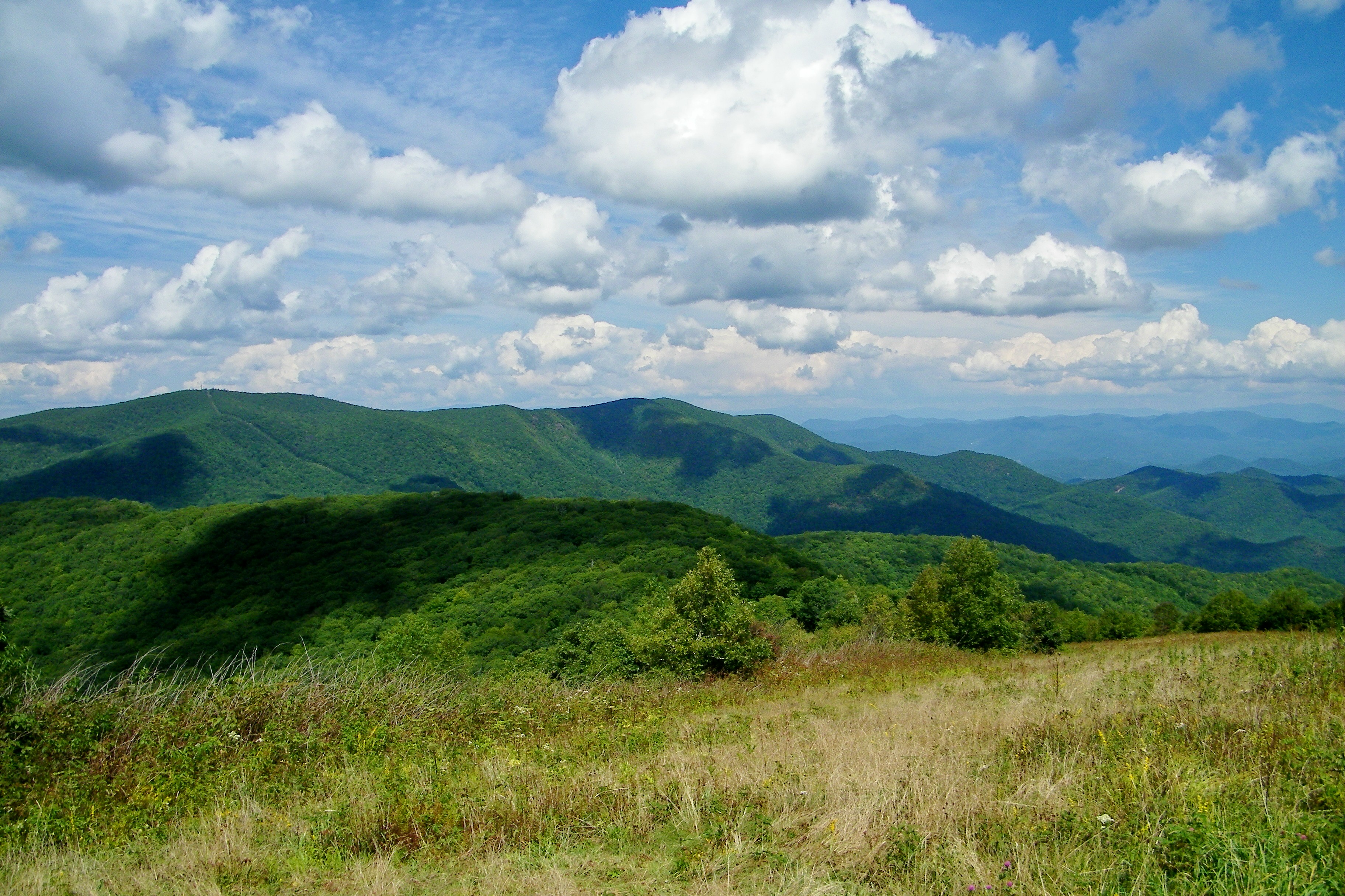
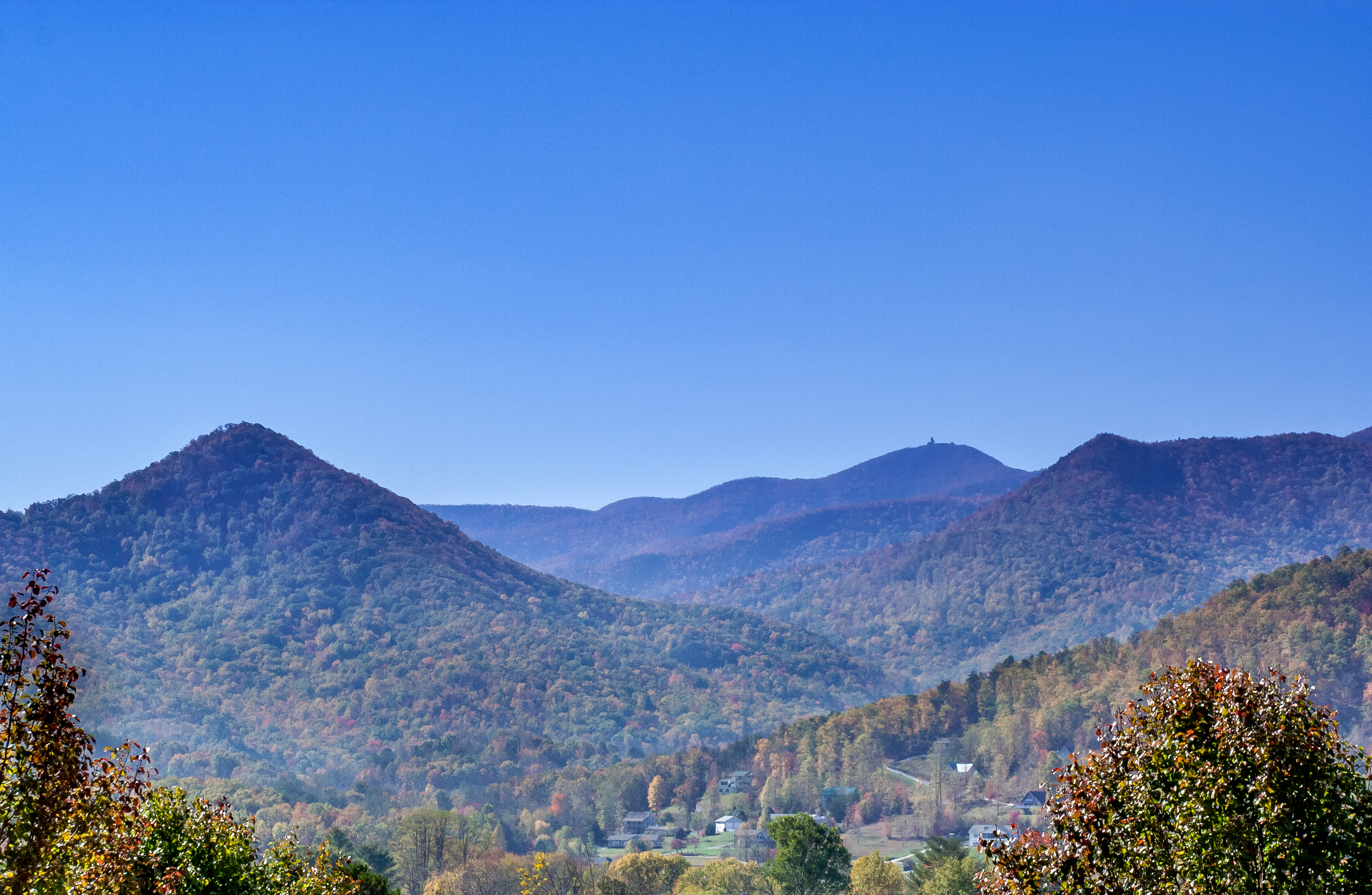
Standing Indian Mountain
Standing Indian Mountain

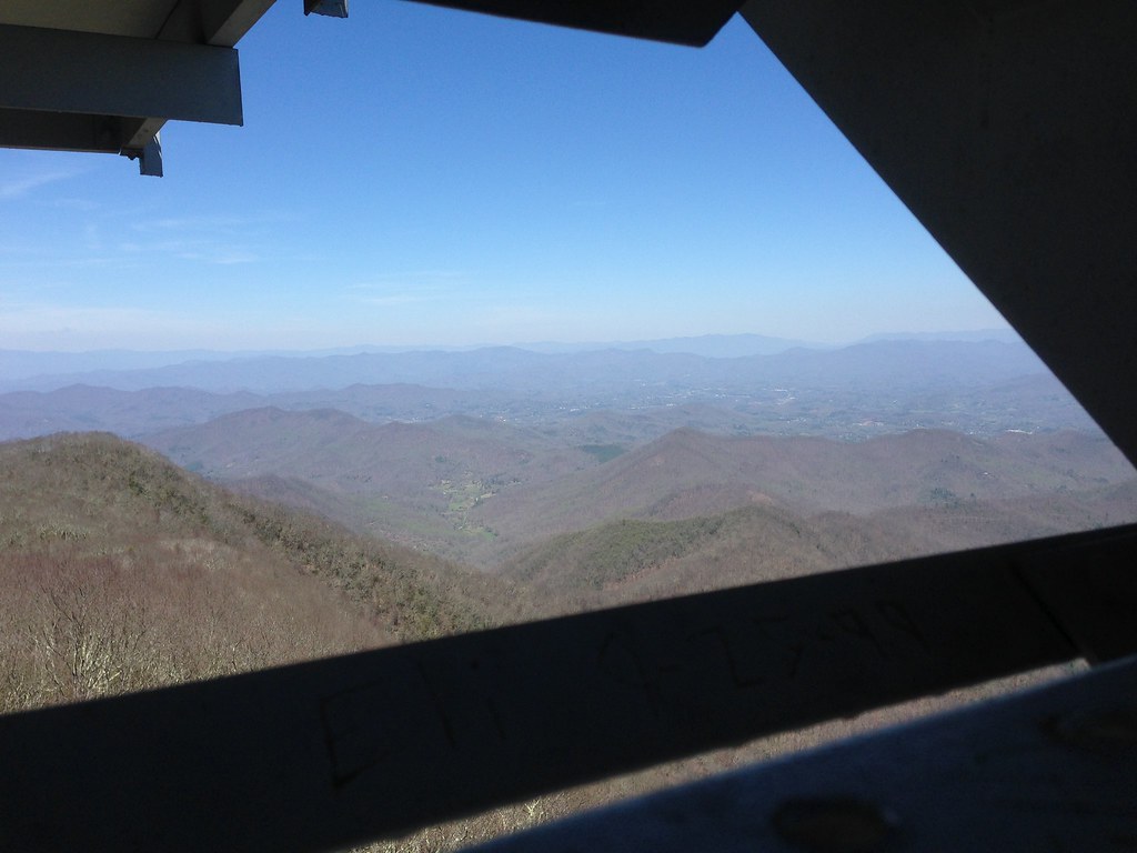
Albert Mountain Fire Tower
Albert Mountain Fire Tower
Silers Bald
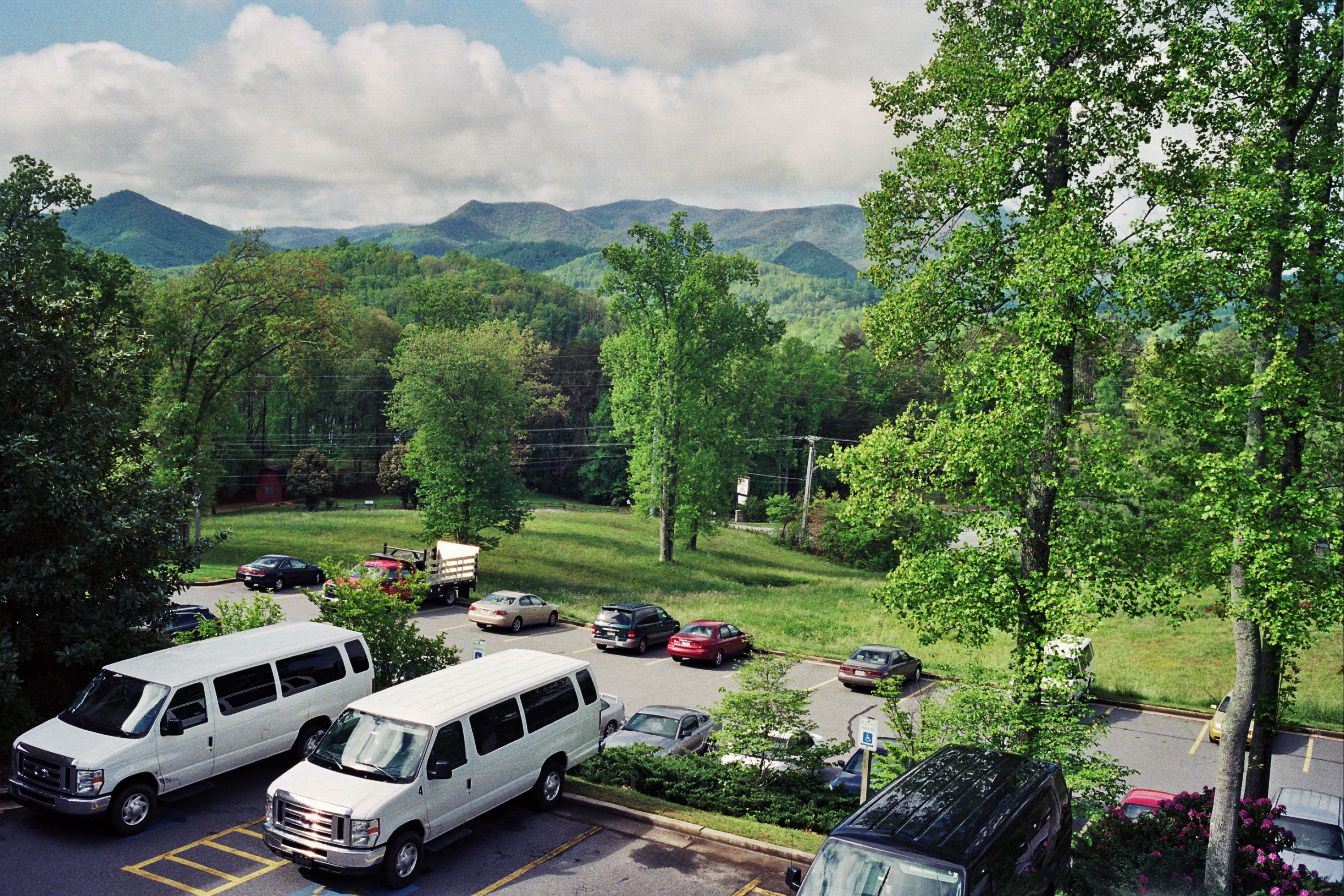
View from the Ramada - Hiawassee, GA
Albert Mountain Fire Tower

Smoky Mountains on Fire (III)

W4C/WM-024 - Siler Bald View
Standing Indian22

Lake Chatuge from Bell Mtn
View from Albert Mountain
Halfway up Runaway Knob
View of Eagle Mountain - W4G/NG-008
Standing Indian23
Pretty view
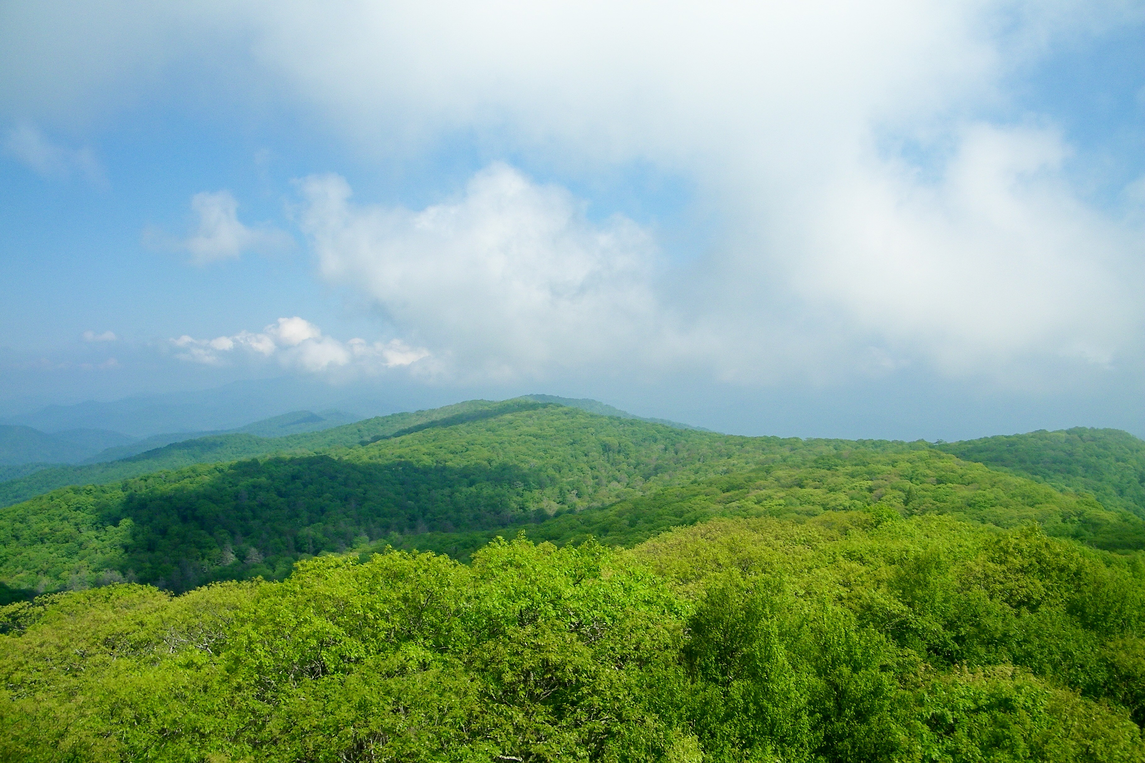
Silers Bald
The View
View from W4C/WM-065 - Rocky Cove Knob

Black Hole Sunset
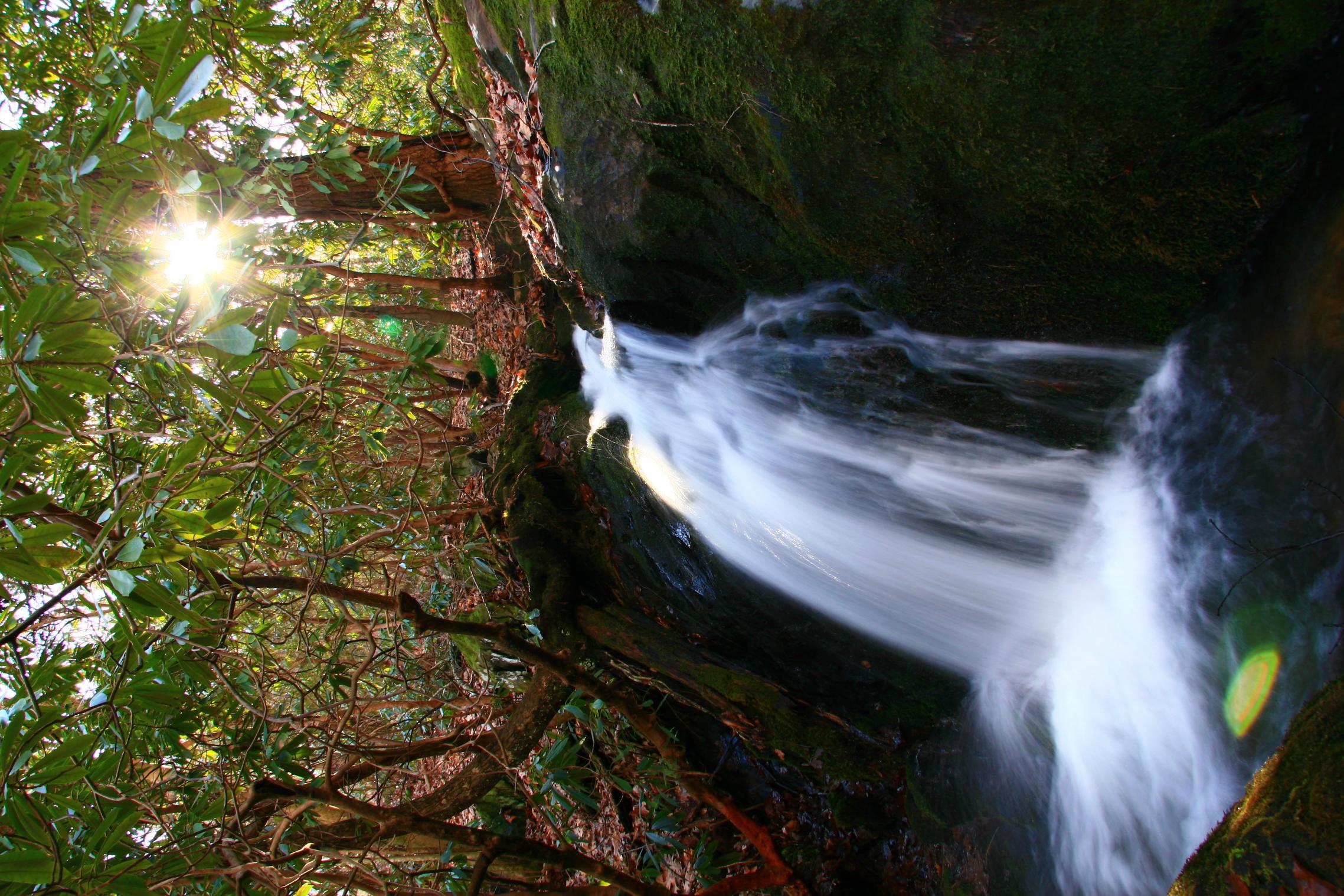
Unnamed Waterfall
Picture 048

Solar farm and lake Chatuge Route 64
Winding Stair Sunrise
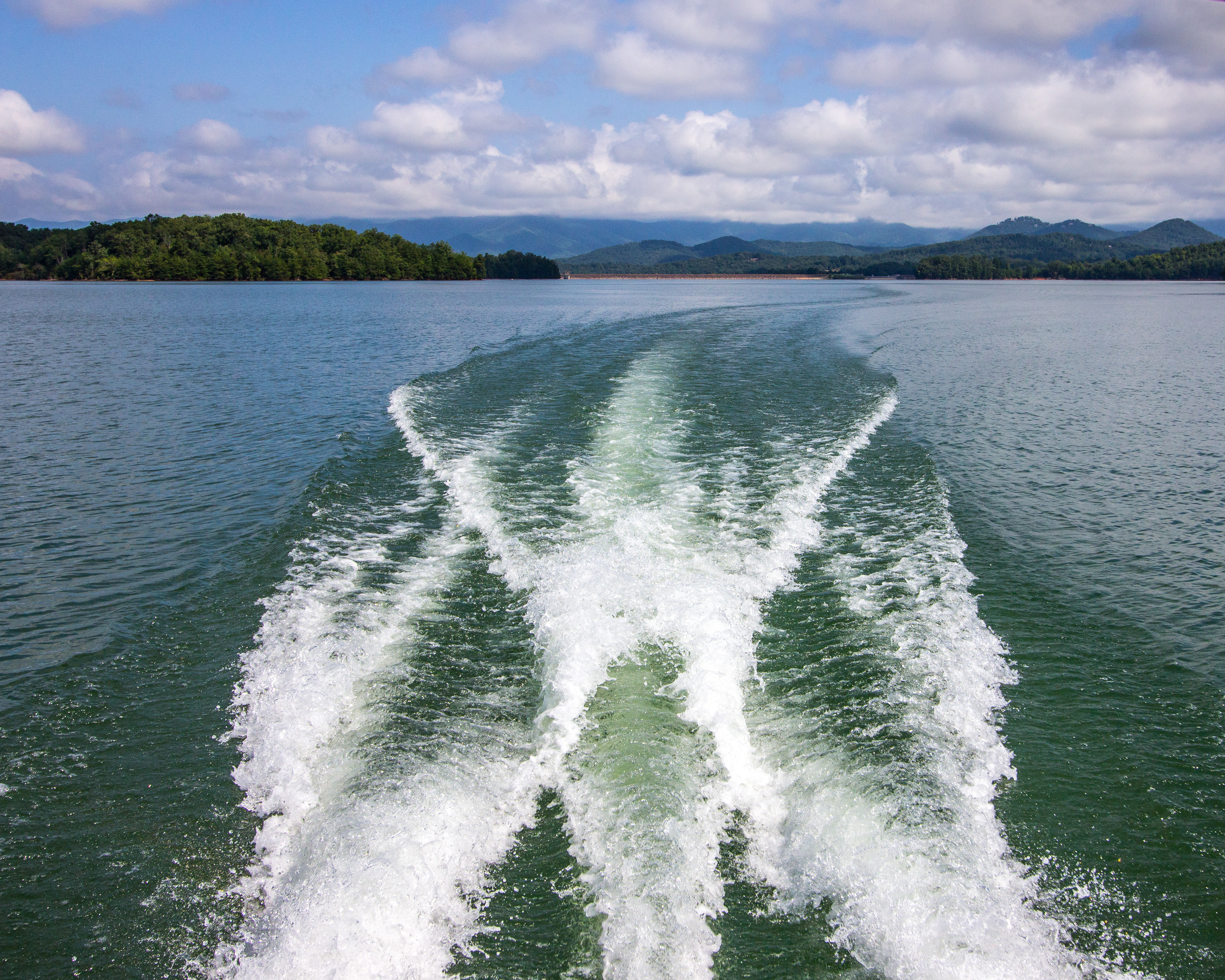
Chatuge Lake
Chattuge Lake

Lake Burton Sky
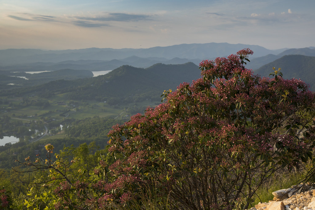
Mountain Laurel Bush

Baily's Beads
Mountain waves
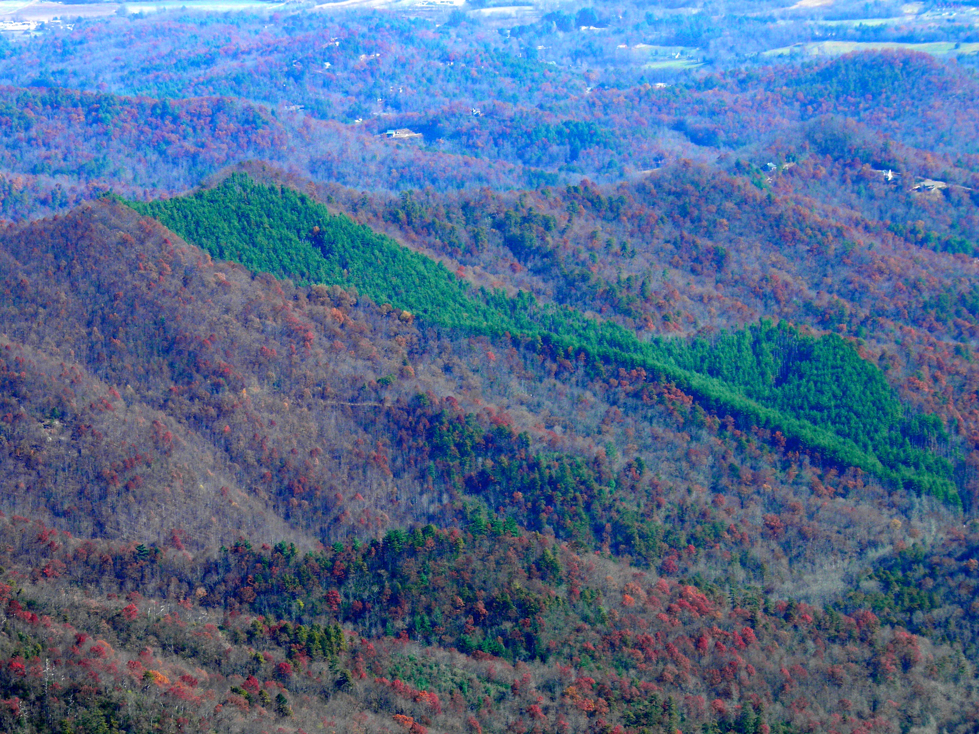
Impressions of fall
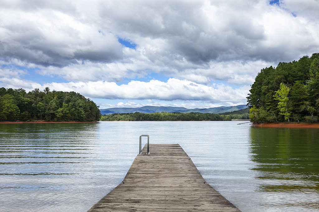
Lake Chatuge
Hiawassee - Happy Sliders Sunday
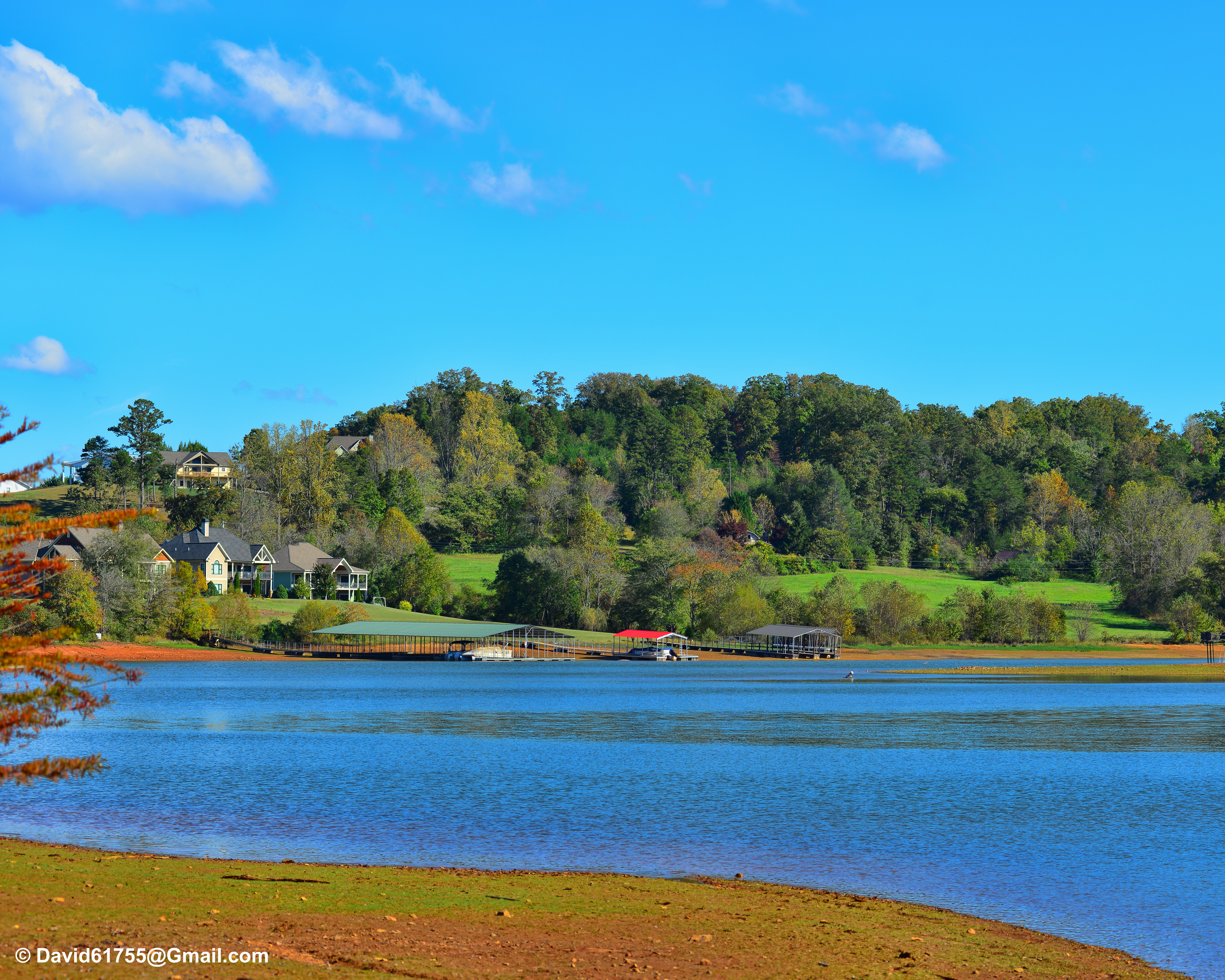
Chatuge Lake
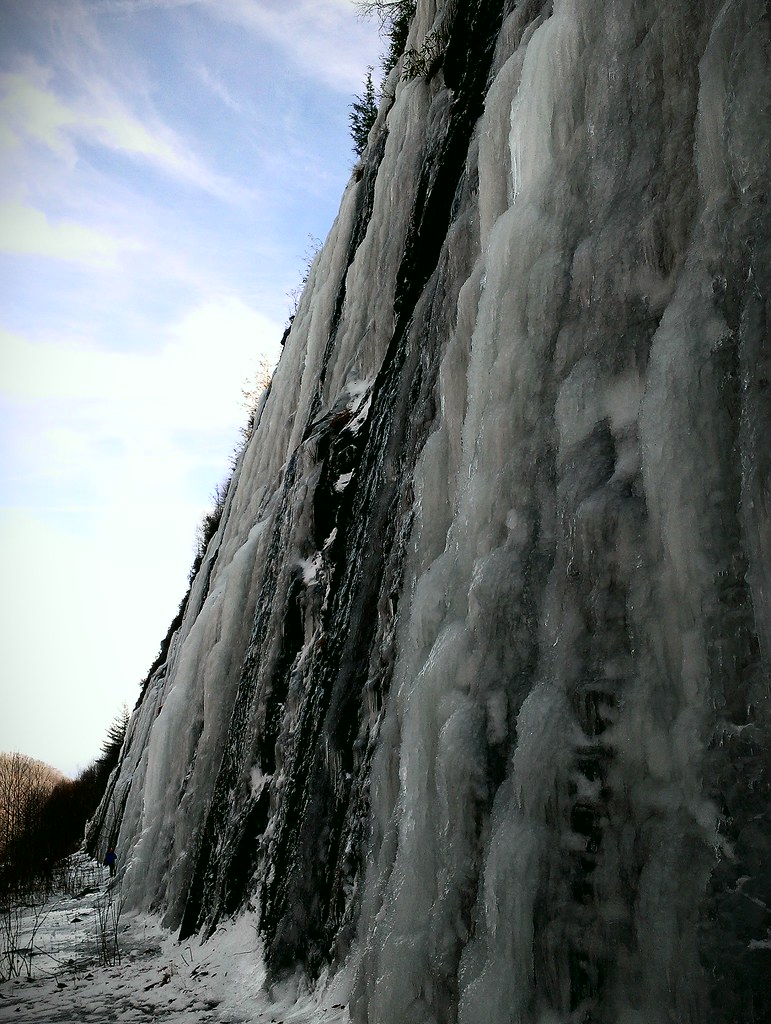
Interstate ice wall

Blue Ridge
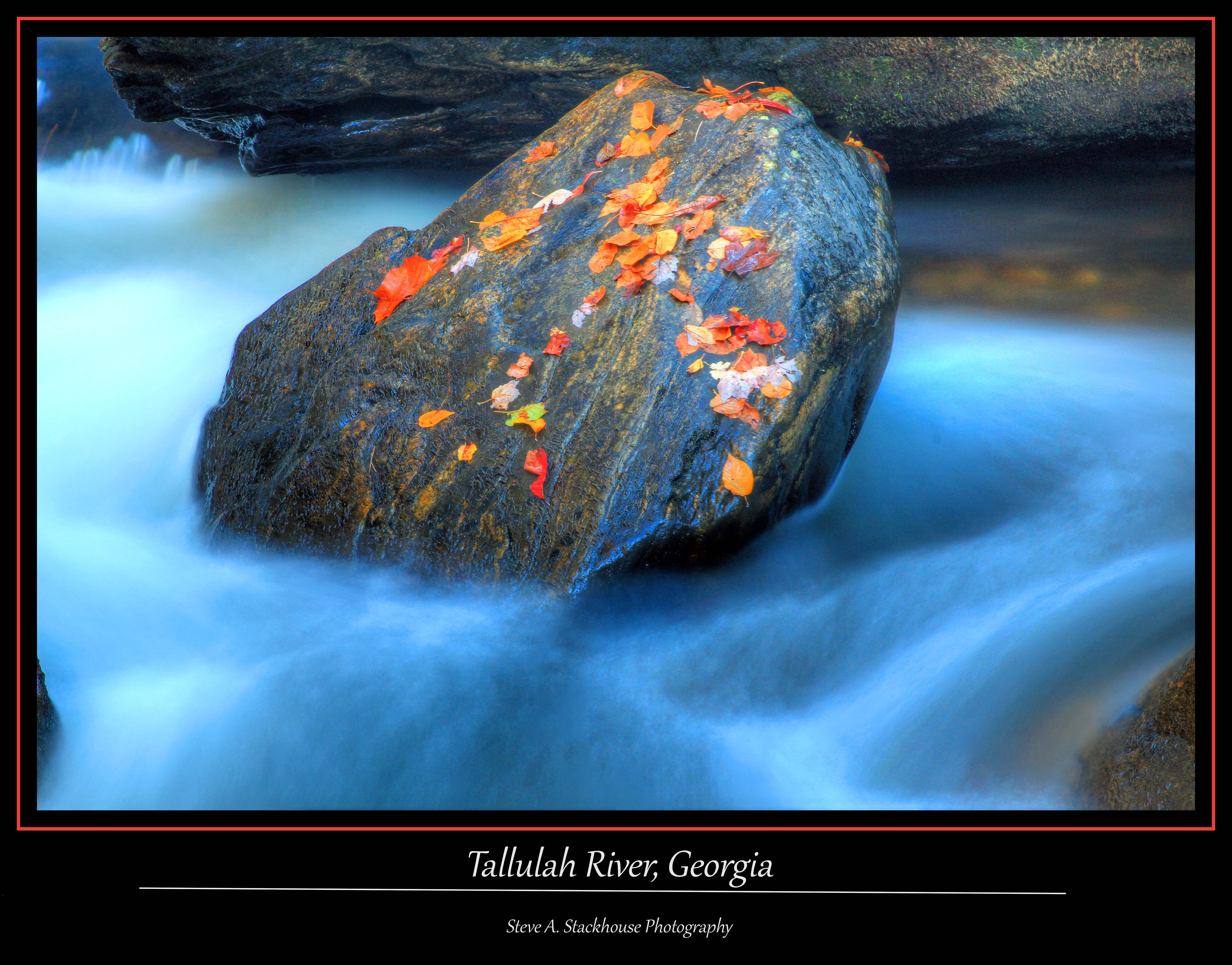
Tallulah Rock

Low cloudbank descending over the Pinnacle from Albert Mountain summit, Nantahala National Forest
Topographic Map of Eagle Fork Rd, Hayesville, NC, USA
Find elevation by address:

Places near Eagle Fork Rd, Hayesville, NC, USA:
443 Dick Jones Rd
63 Dick Jones Terrace
256 Dick Jones Rd
78 Hideaway Cove
Sally Gap Road
Sally Gap Road
74 Eagle Fork Overlook
46 Sally Gap Rd
111 Eagle Fork Trail
1845 Bethabara Rd
637 Bethabara Rd
233 Forest Cove Trail
119 Bethabara View
119 Bethabara View
Bethabara View
4195 Old Hwy 64 E
3916 Old Hwy 64 E
206 Bethabara Loop
Bethabara Loop
Recent Searches:
- Elevation of Corso Fratelli Cairoli, 35, Macerata MC, Italy
- Elevation of Tallevast Rd, Sarasota, FL, USA
- Elevation of 4th St E, Sonoma, CA, USA
- Elevation of Black Hollow Rd, Pennsdale, PA, USA
- Elevation of Oakland Ave, Williamsport, PA, USA
- Elevation of Pedrógão Grande, Portugal
- Elevation of Klee Dr, Martinsburg, WV, USA
- Elevation of Via Roma, Pieranica CR, Italy
- Elevation of Tavkvetili Mountain, Georgia
- Elevation of Hartfords Bluff Cir, Mt Pleasant, SC, USA