Elevation of Shooting Creek, NC, USA
Location: United States > North Carolina > Clay County >
Longitude: -83.613557
Latitude: 35.0250528
Elevation: 899m / 2949feet
Barometric Pressure: 91KPa
Elevation Map:
Satellite Map:
Related Photos:

Smoky Mountains on Fire (II)

Smoky Mountains on Fire (III)
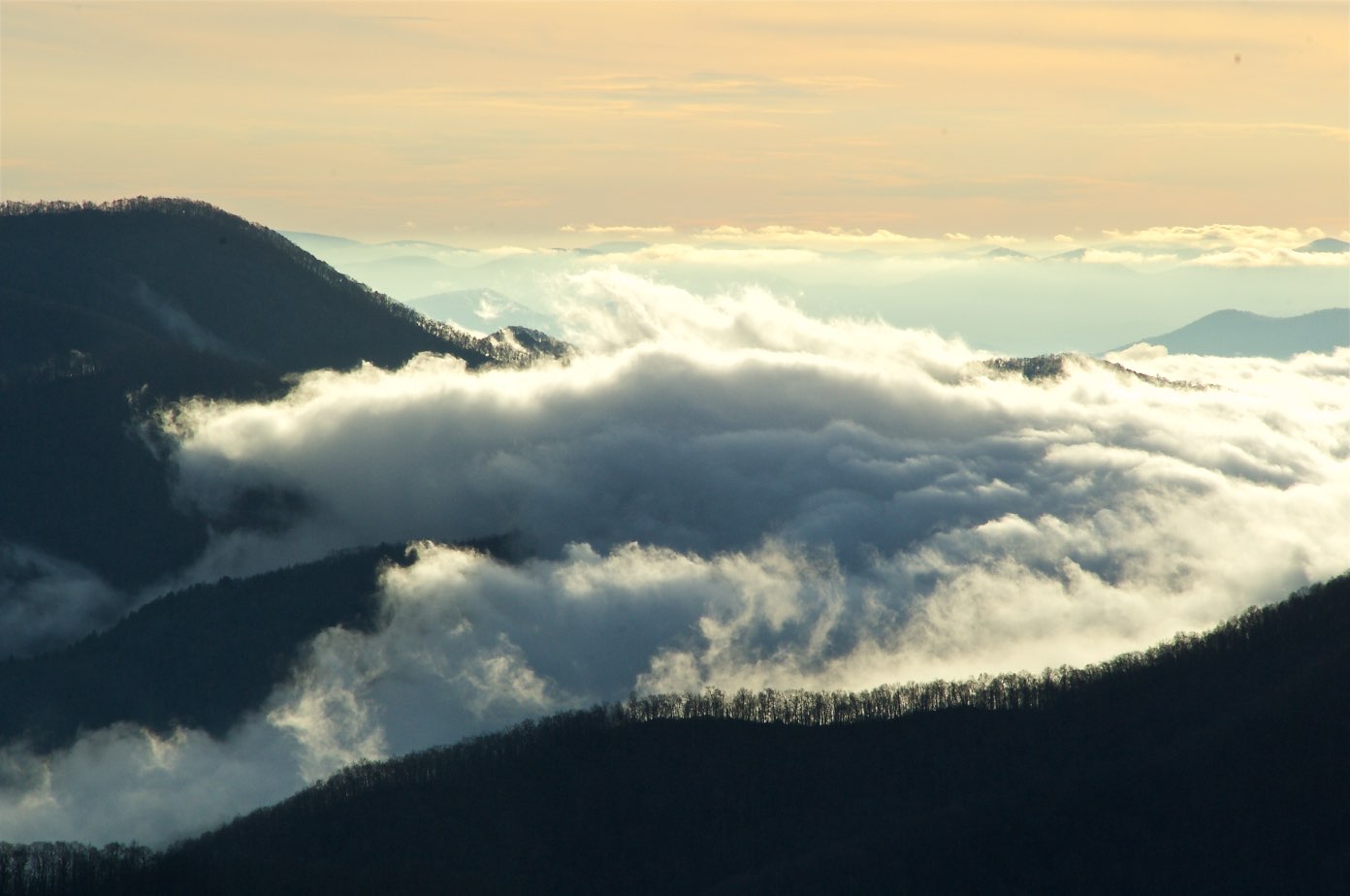
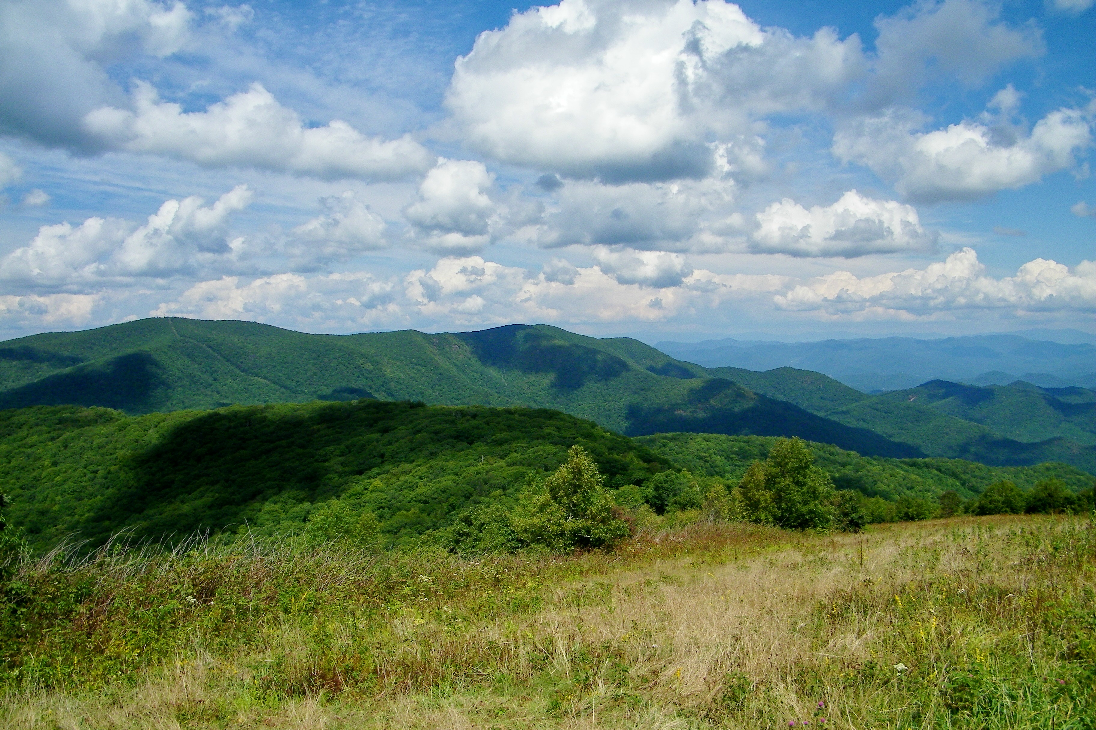
View from Silar Bald
Standing Indian22
View from W4C/WM-065 - Rocky Cove Knob
Standing Indian24
View from Bell Knob - W4G/NG-035
View from Bell Knob - W4G/NG-035

View from Wolfstake Knob

W4C/WM-024 - Siler Bald View
View of Eagle Mountain - W4G/NG-008
Cephalanthus occidentalis (Buttonbush)
Standing Indian23
W4C/WM-024 - Siler Bald View

View from W4G/NG-012 - Wolf Knob

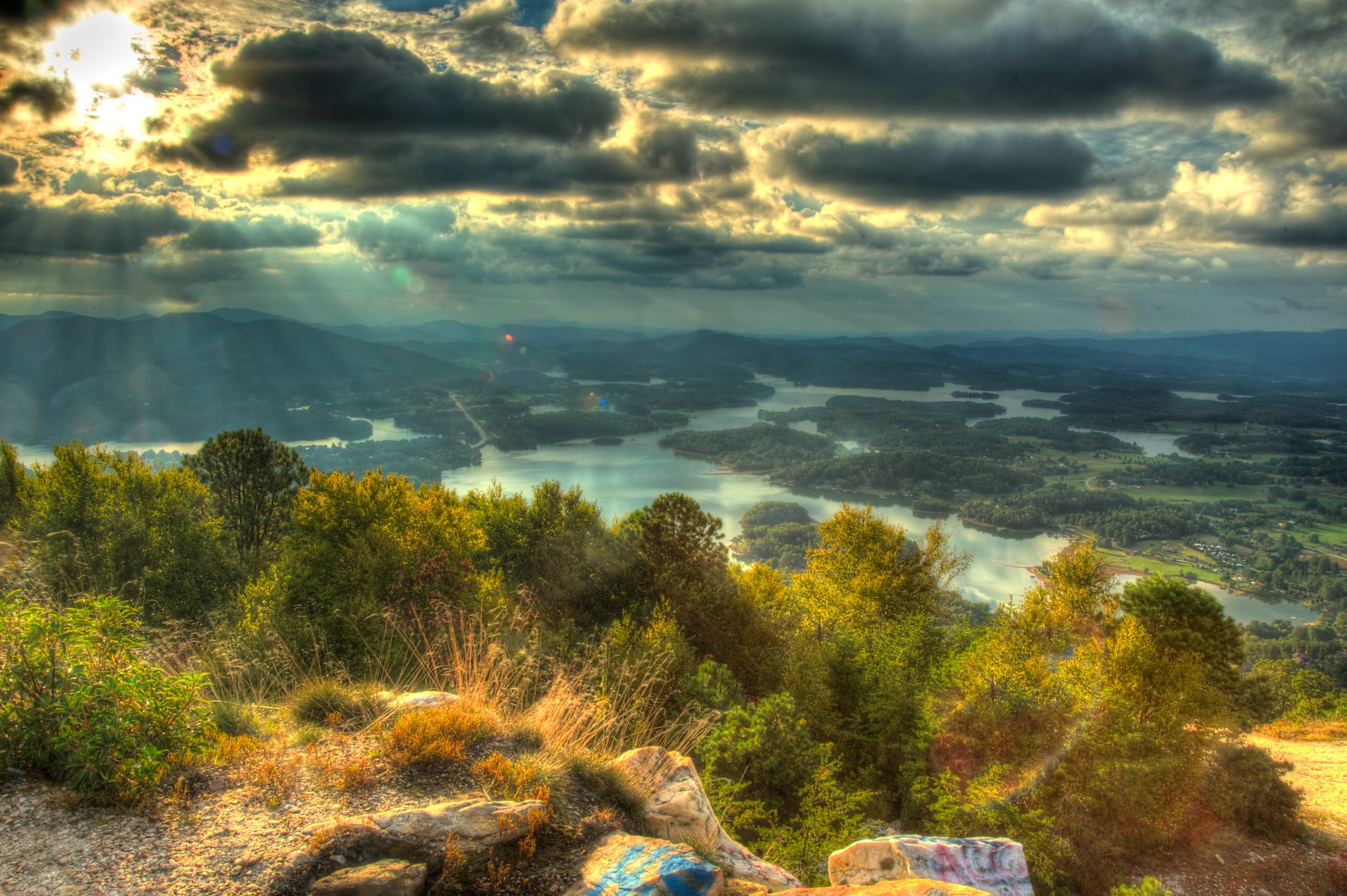
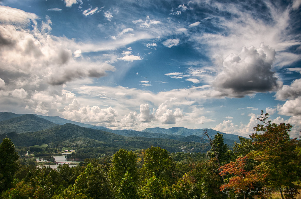
Backlit - Lake Chatuge, North Carolina
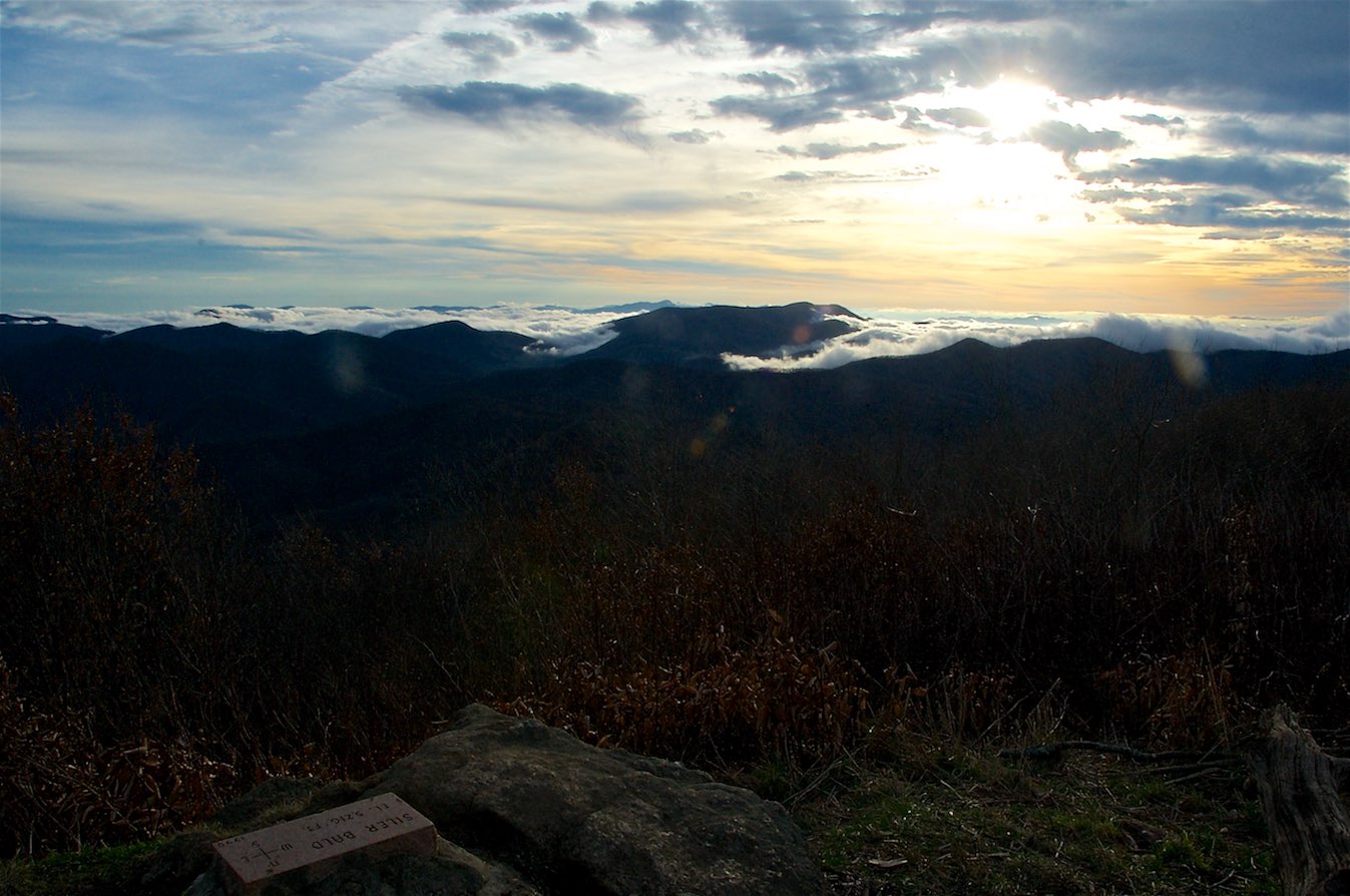
W4C/WM-024 - Siler Bald View
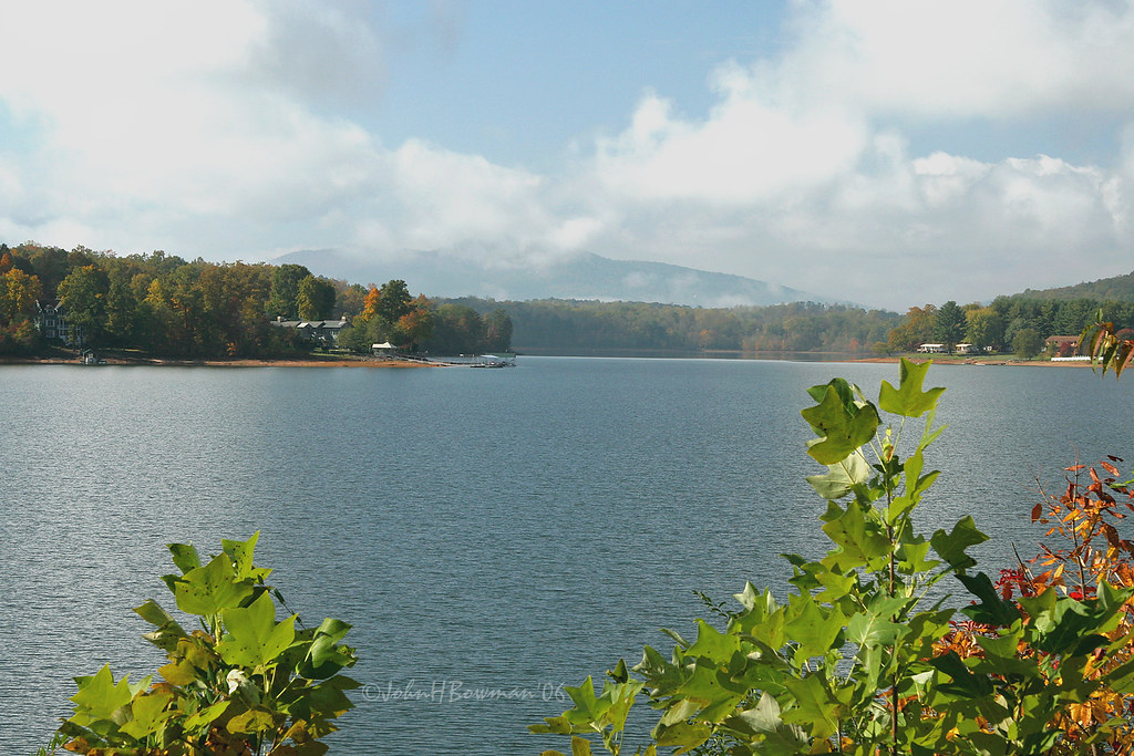
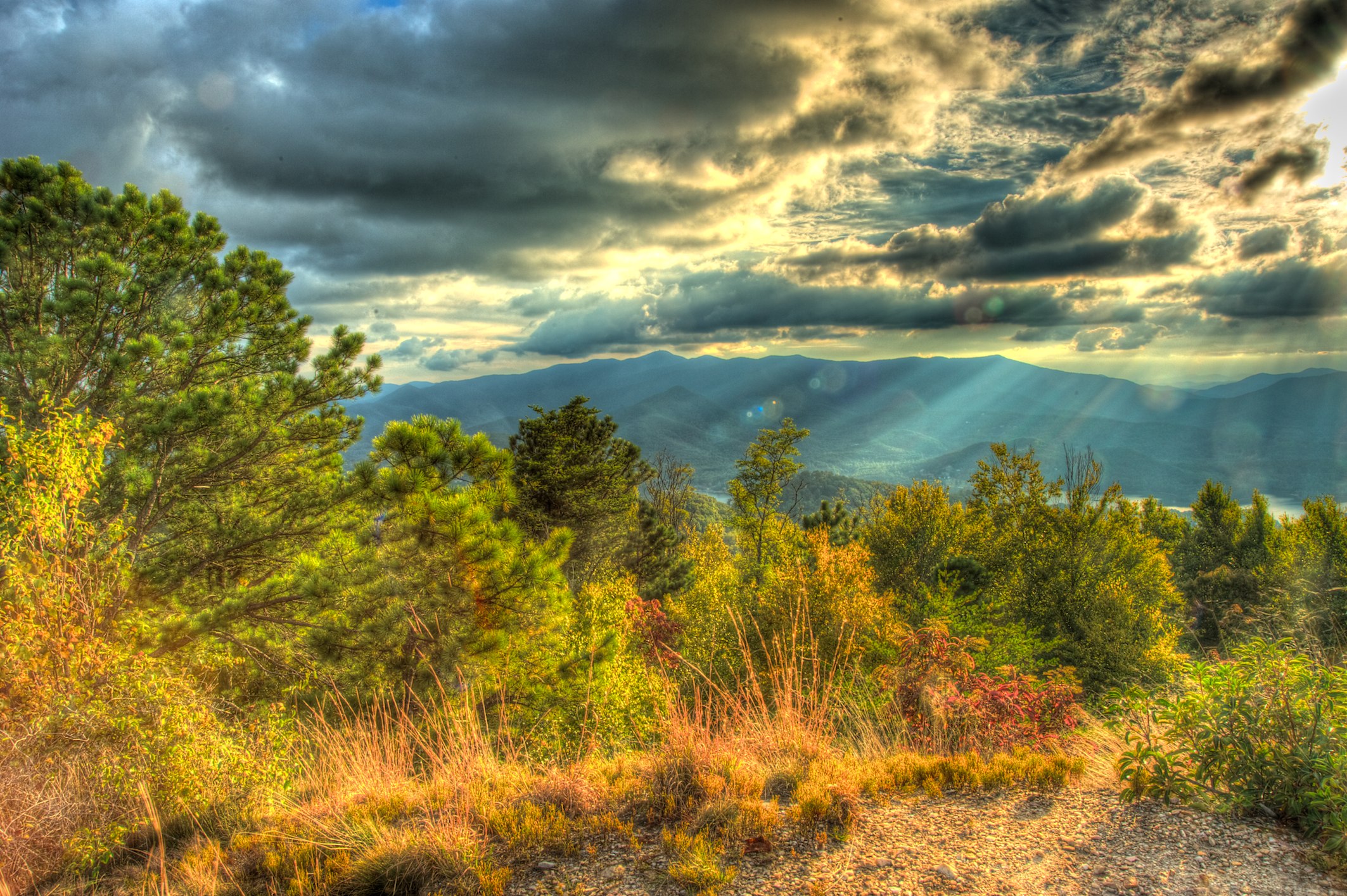
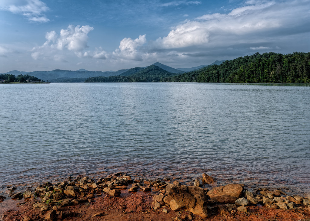
Clearing - Lake Chatuge, North Carolina

K20D8831-3
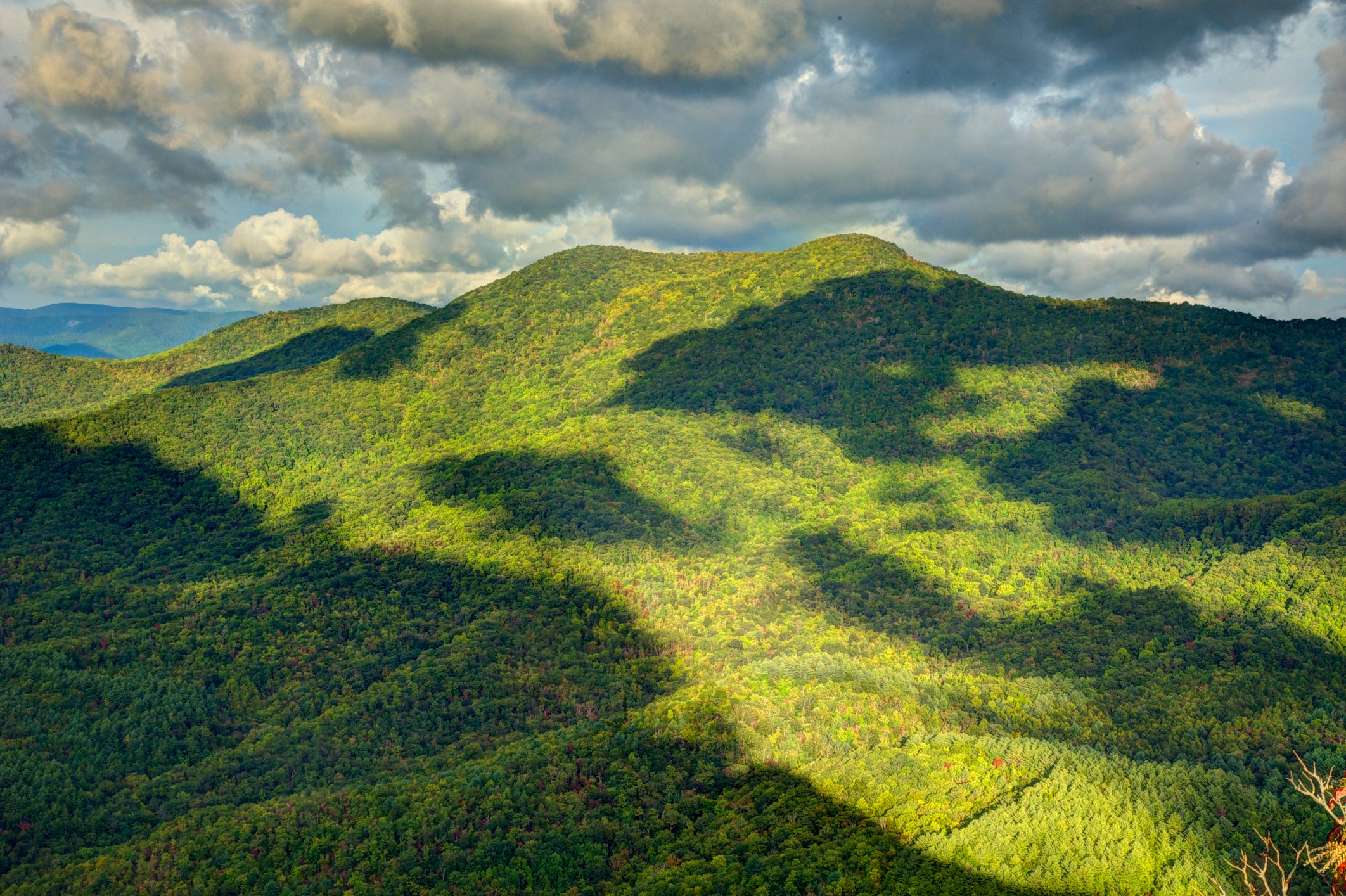
Silers Bald
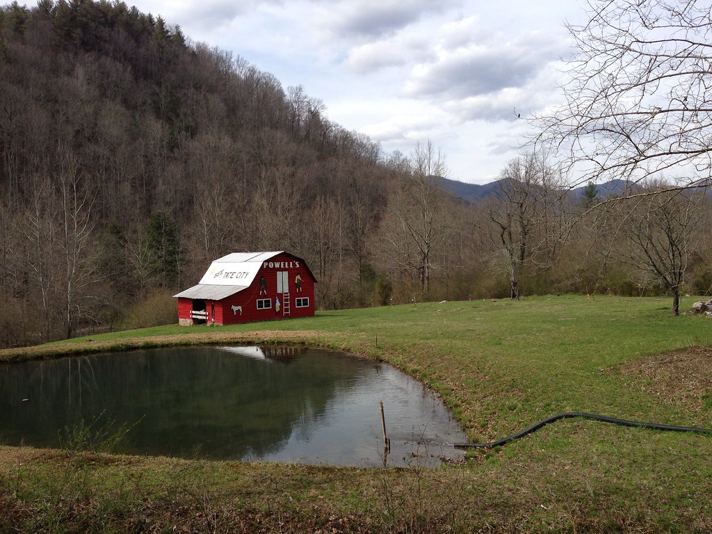
See Tate City

Shooting Creek Sunrise_IMG_20150509_2727
Chattuge Lake

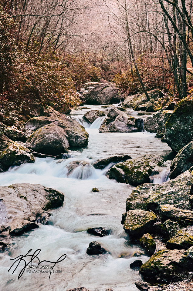
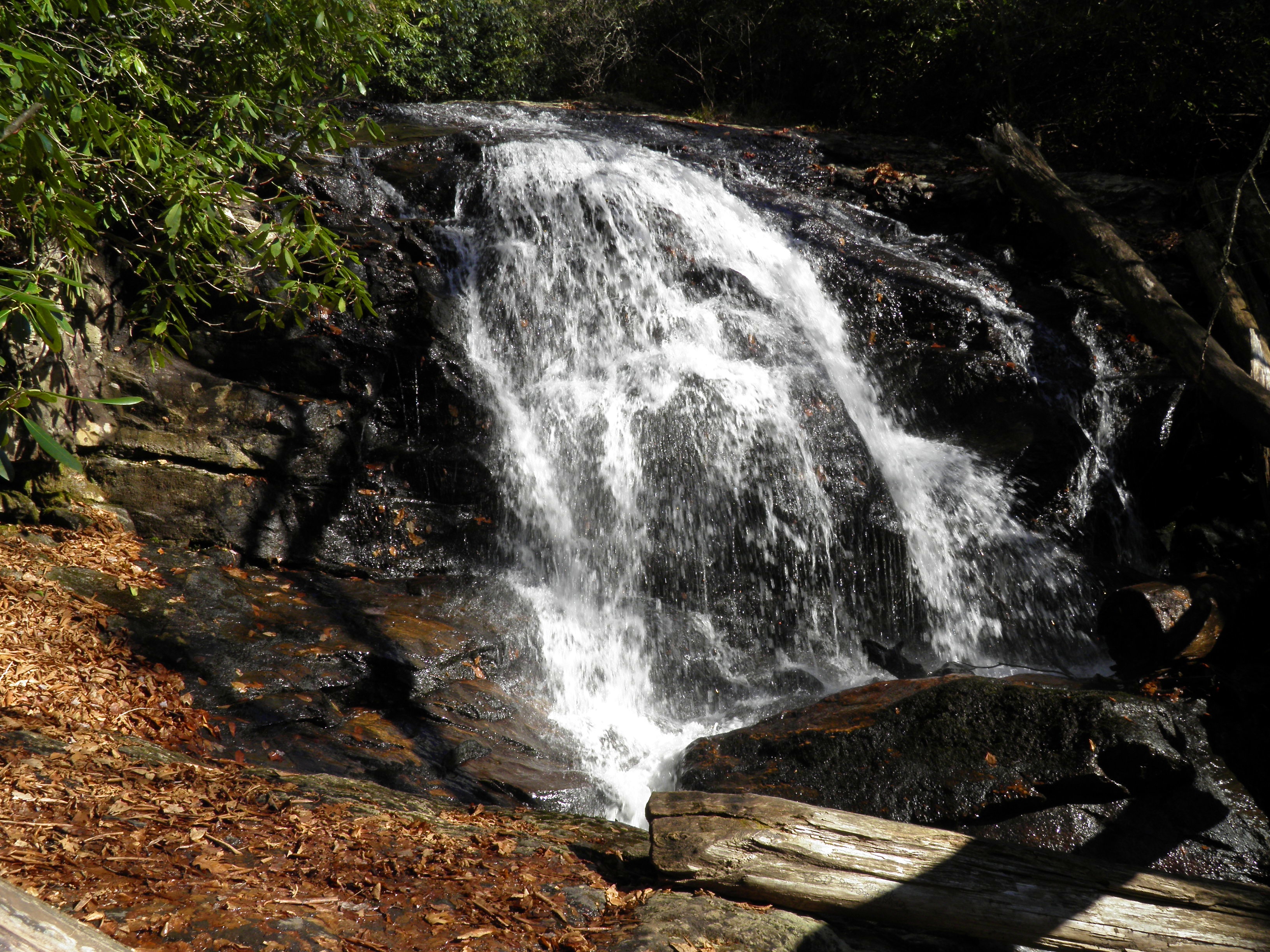
Rufus Morgan Falls

Shooting Creek_IMG_20150509_2722

Sunrise Shooting Creek_IMG_20150509_2723
Impressions of fall

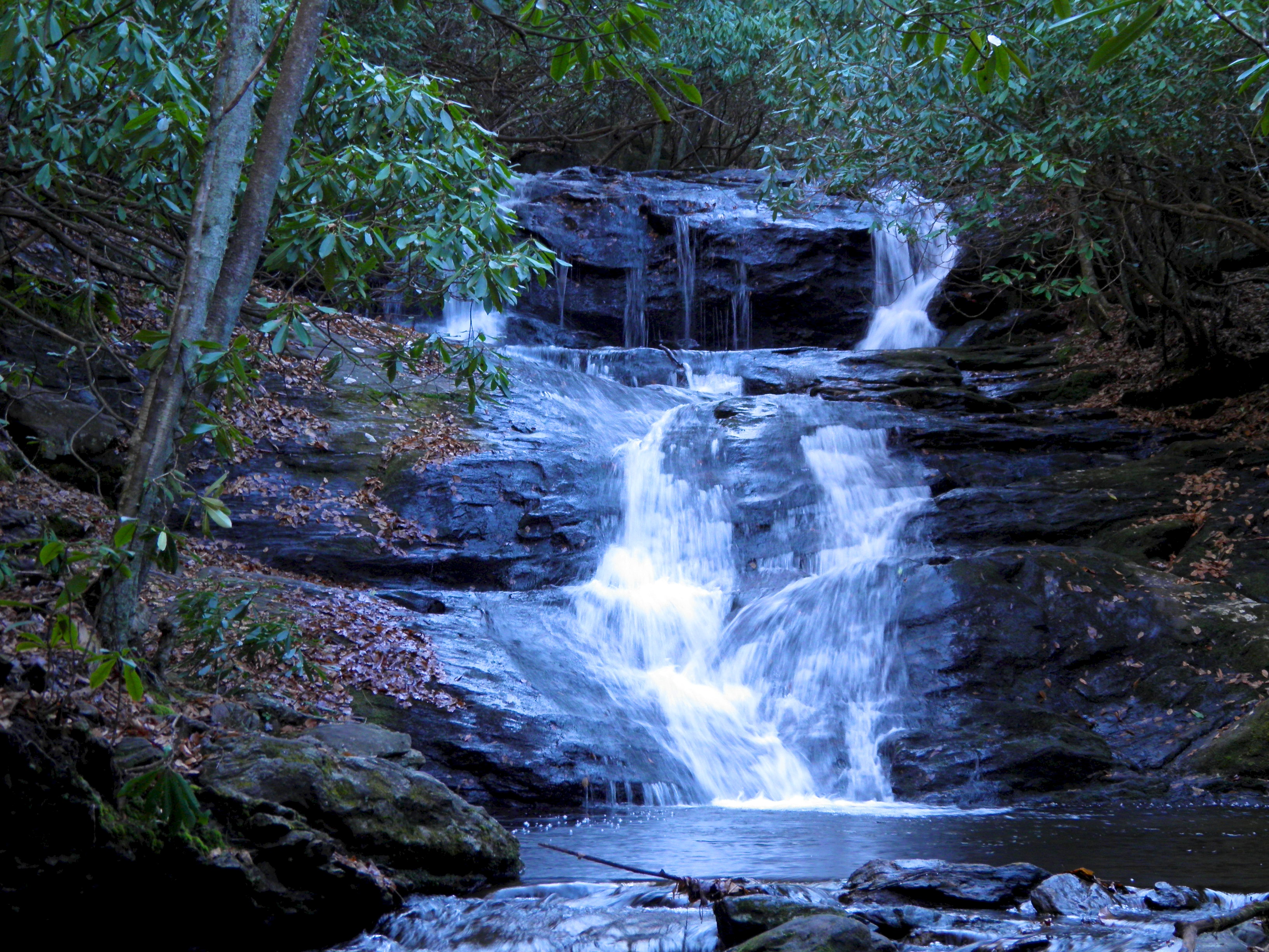
Kilby Mill Falls
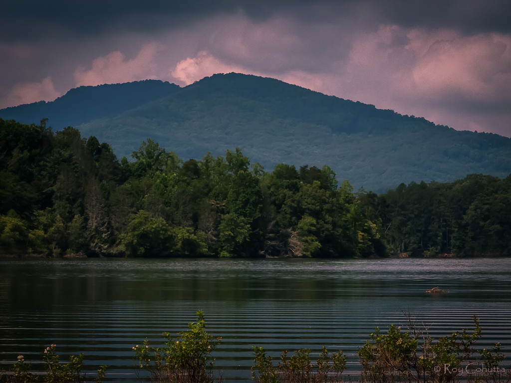
Lake Chatuge
Standing Indian20
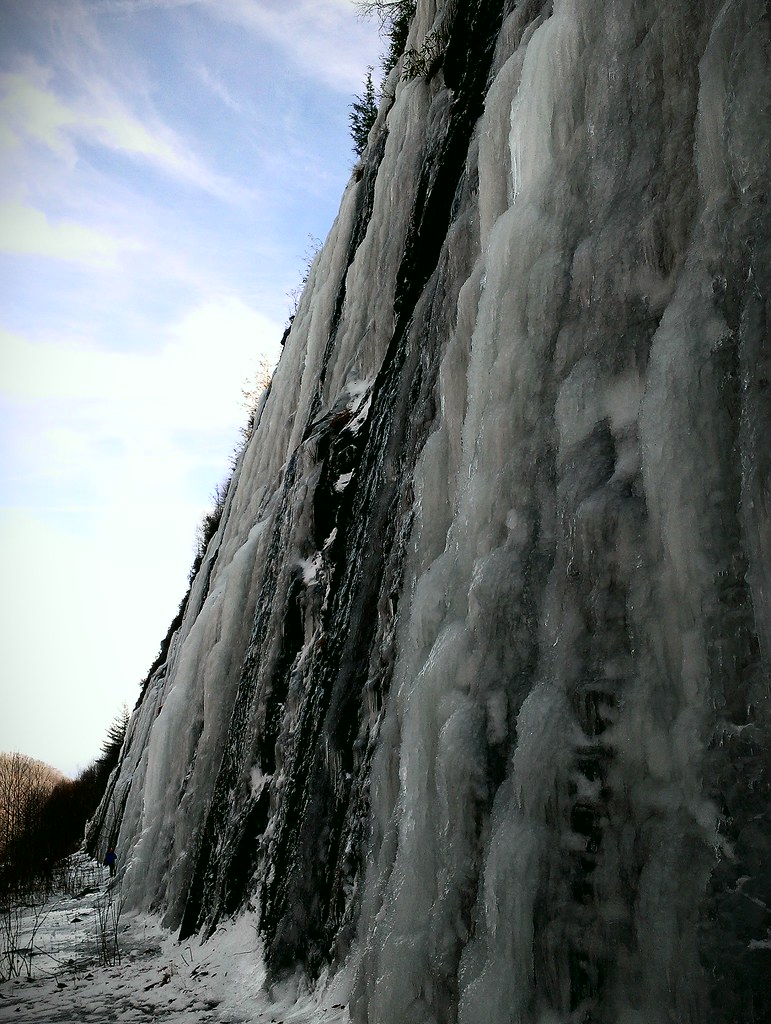
Interstate ice wall

Standing Indian19

Rufus Morgan Trailhead-8426
Standing Indian9
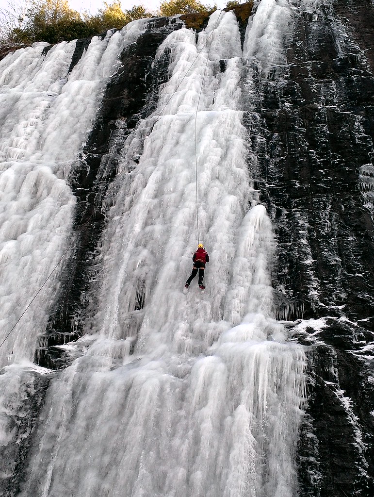
Interstate ice climbers

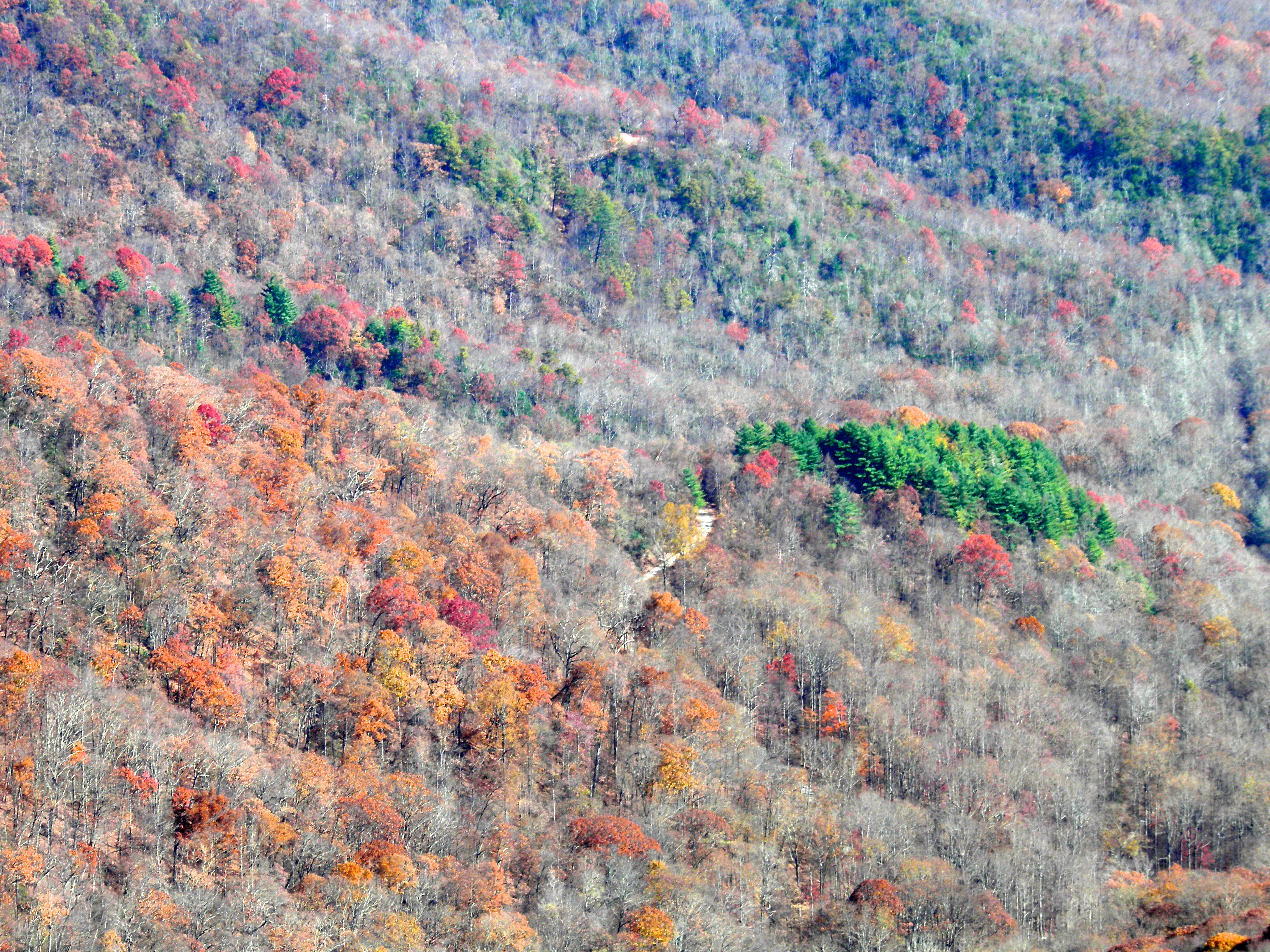
Fall colors
Hiawassee - Happy Sliders Sunday
Standing Indian12
Mooney Creek
Topographic Map of Shooting Creek, NC, USA
Find elevation by address:

Places in Shooting Creek, NC, USA:
Places near Shooting Creek, NC, USA:
595 Red Bird Dr
635 Red Bird Dr
370 Red Bird Dr
Burnt Leaf Lane
183 Red Bird Dr
135 Red Bird Dr
769 Skyview Dr
1500 Skyview Dr
73 Brown Dr
11317 Us-64
2480 Eagle Fork Rd
11317 Hwy 64e
276 Cove View Rdg
473 Muskrat Creek Rd
35 Robert Holden Dr
925 S Brooks Cove Rd
733 S Brooks Cove Rd
55 Conner Ln
6246 Old Hwy 64 E
443 Dick Jones Rd
Recent Searches:
- Elevation of Corso Fratelli Cairoli, 35, Macerata MC, Italy
- Elevation of Tallevast Rd, Sarasota, FL, USA
- Elevation of 4th St E, Sonoma, CA, USA
- Elevation of Black Hollow Rd, Pennsdale, PA, USA
- Elevation of Oakland Ave, Williamsport, PA, USA
- Elevation of Pedrógão Grande, Portugal
- Elevation of Klee Dr, Martinsburg, WV, USA
- Elevation of Via Roma, Pieranica CR, Italy
- Elevation of Tavkvetili Mountain, Georgia
- Elevation of Hartfords Bluff Cir, Mt Pleasant, SC, USA