Elevation of Sishen, Dingle, Kathu, South Africa
Location: South Africa > Northern Cape > Kalahari District Council > Kathu >
Longitude: 22.9849089
Latitude: -27.78179
Elevation: 1203m / 3947feet
Barometric Pressure: 88KPa
Elevation Map:
Satellite Map:
Related Photos:
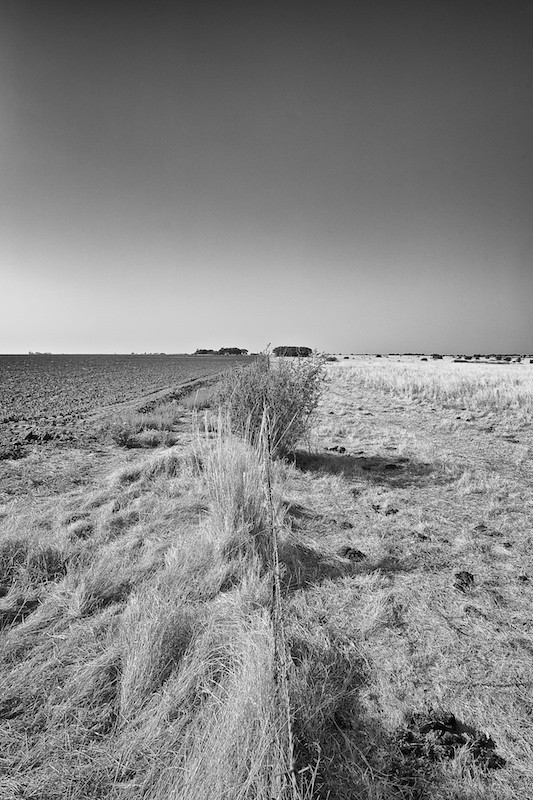
Near Upington
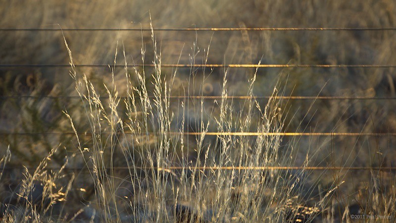
Sunrise over the fence

Sometimes a wildscape or landscape needs to make way for a dreamscape ... like this pic taken on a flight somewhere between Johannesburg and Sishen (and playing a bit with the exposure settings) #sky #canonsa #canon #dreamscape
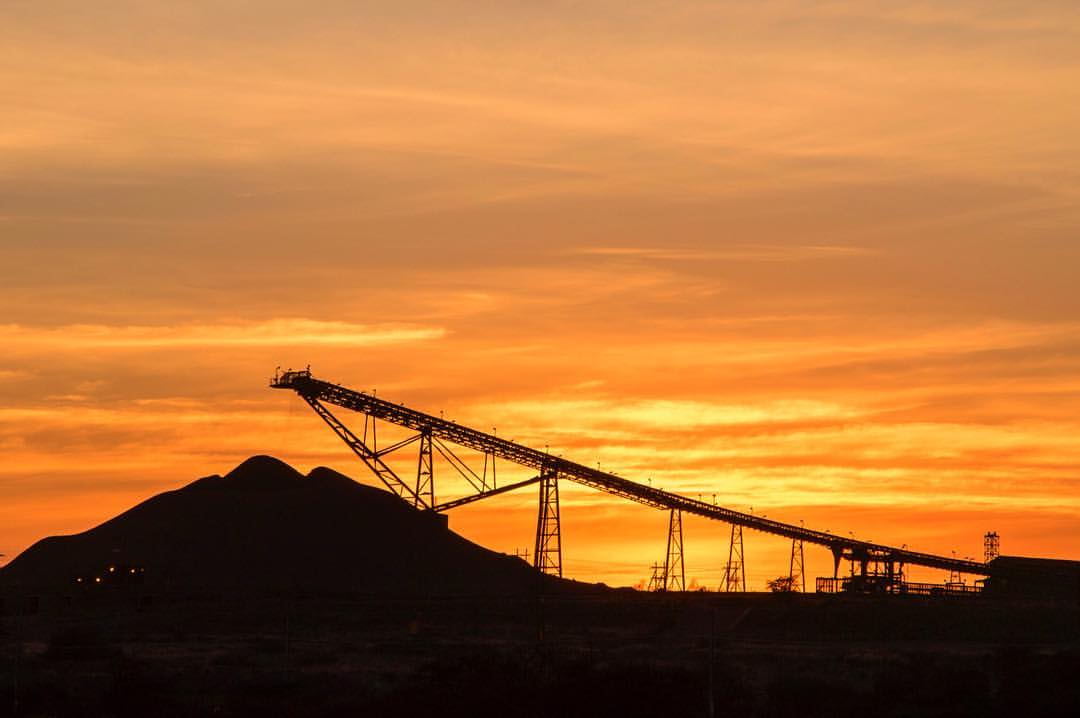
Beauty and the beast .... wonderful sunrise over an ore-carrying conveyor belt at an iron ore mine in South Africa's Northern Cape. #sunrise #ironoremine #northerncape #canon #canonsa #thisissouthafrica

Thunder Tour 2015

Thunder Tour 2015

Thunder Tour 2015

Thunder Tour 2015
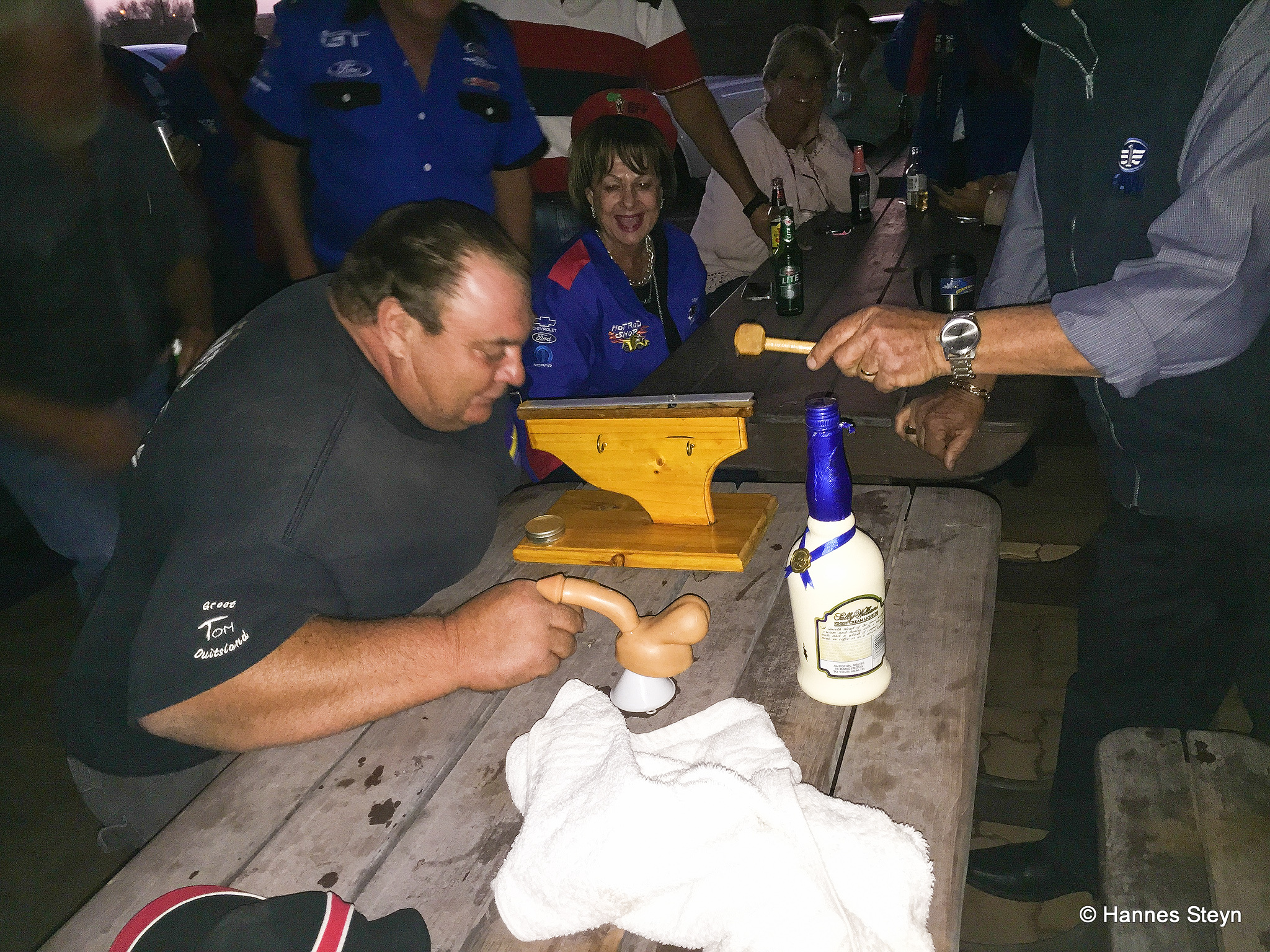
Thunder Tour 2015

Thunder Tour 2015

Spur - Kathu

Chevrolet Camaro

Chevrolet Camaro

Spur - Kathu
Kathu Mining Machine Display

Kathu Mining Machine Display
Kathu Mining Machine Display
Kathu Northern Cape

Retired machines
Thunder Tour 2015

Thunder Tour 2015
Topographic Map of Sishen, Dingle, Kathu, South Africa
Find elevation by address:

Places near Sishen, Dingle, Kathu, South Africa:
Dingle
Gamagara Road
Gamagara Road
Sishen Mine
Kathu
Olifantshoek Municipal Offices
Olifantshoek Magistrate Court
Olifantshoek
Olifantshoek
Kuruman
Kalahari District Council
Recent Searches:
- Elevation of Corso Fratelli Cairoli, 35, Macerata MC, Italy
- Elevation of Tallevast Rd, Sarasota, FL, USA
- Elevation of 4th St E, Sonoma, CA, USA
- Elevation of Black Hollow Rd, Pennsdale, PA, USA
- Elevation of Oakland Ave, Williamsport, PA, USA
- Elevation of Pedrógão Grande, Portugal
- Elevation of Klee Dr, Martinsburg, WV, USA
- Elevation of Via Roma, Pieranica CR, Italy
- Elevation of Tavkvetili Mountain, Georgia
- Elevation of Hartfords Bluff Cir, Mt Pleasant, SC, USA