Elevation map of Kalahari District Council, South Africa
Location: South Africa > Northern Cape >
Longitude: 23.1918021
Latitude: -27.221038
Elevation: 1163m / 3816feet
Barometric Pressure: 88KPa
Elevation Map:
Satellite Map:
Related Photos:

1997 02 w transvaal

1997 02b w transvaal
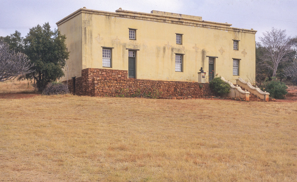
paul kruger museum near rustenburg

1997 02a w transvaal
Topographic Map of Kalahari District Council, South Africa
Find elevation by address:

Places in Kalahari District Council, South Africa:
Places near Kalahari District Council, South Africa:
Kuruman
Sishen Mine
Kathu
Sishen
Dingle
Gamagara Road
Gamagara Road
Olifantshoek Municipal Offices
Olifantshoek Magistrate Court
Olifantshoek
Olifantshoek
Recent Searches:
- Elevation of Corso Fratelli Cairoli, 35, Macerata MC, Italy
- Elevation of Tallevast Rd, Sarasota, FL, USA
- Elevation of 4th St E, Sonoma, CA, USA
- Elevation of Black Hollow Rd, Pennsdale, PA, USA
- Elevation of Oakland Ave, Williamsport, PA, USA
- Elevation of Pedrógão Grande, Portugal
- Elevation of Klee Dr, Martinsburg, WV, USA
- Elevation of Via Roma, Pieranica CR, Italy
- Elevation of Tavkvetili Mountain, Georgia
- Elevation of Hartfords Bluff Cir, Mt Pleasant, SC, USA