Elevation of Olifantshoek Municipal Offices, 39 Van Riebeeck St, Olifantshoek, South Africa
Location: South Africa > Northern Cape > Kalahari District Council > Olifantshoek > Olifantshoek >
Longitude: 22.7375213
Latitude: -27.938329
Elevation: 1268m / 4160feet
Barometric Pressure: 87KPa
Elevation Map:
Satellite Map:
Related Photos:

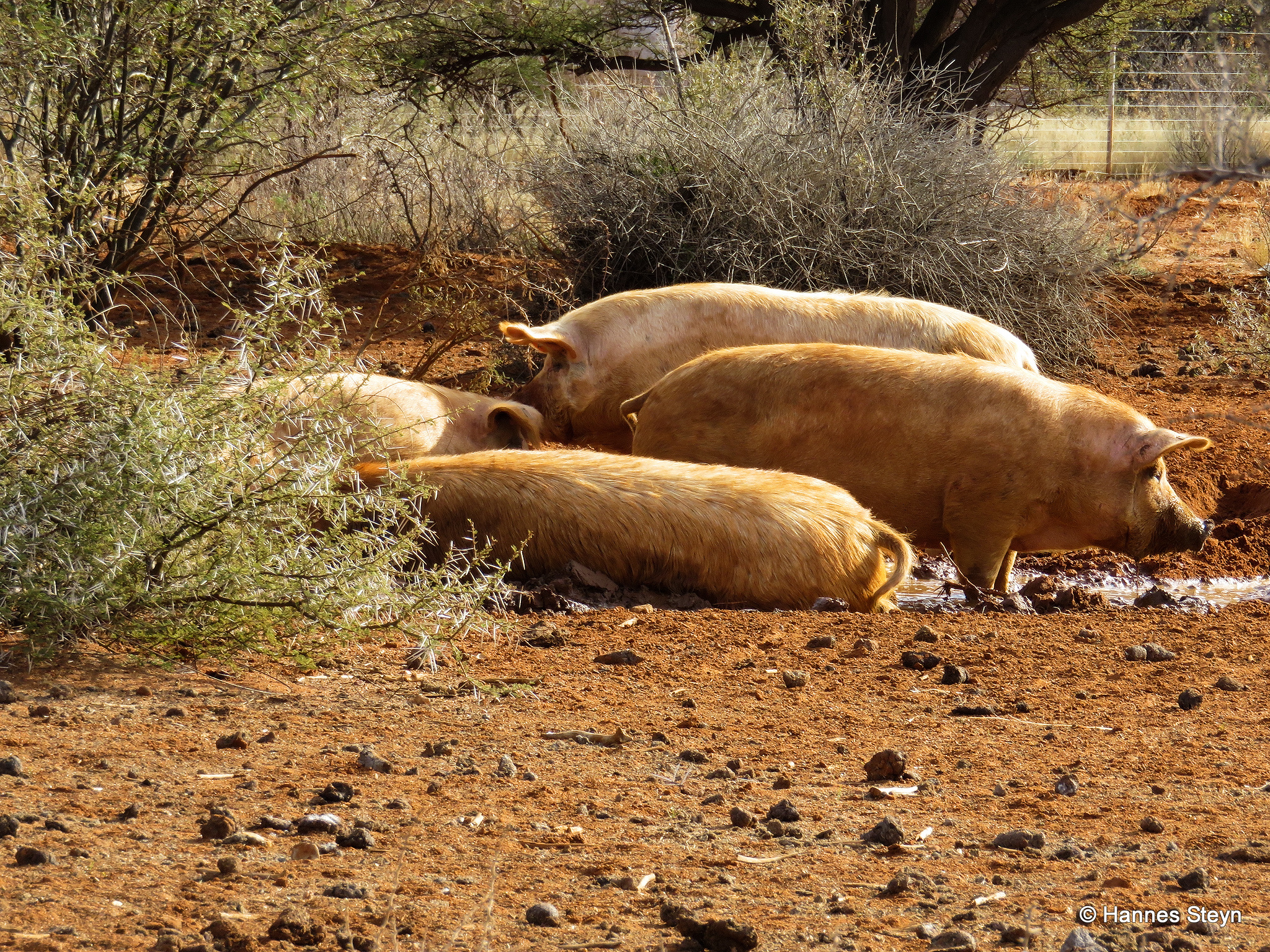
Aerial Landscape between Johannesburg and Uppington South Africa

Thunder Tour 2015

Thunder Tour 2015

Thunder Tour 2015

Thunder Tour 2015

Thunder Tour 2015

Thunder Tour 2015

Thunder Tour 2015

Thunder Tour 2015

Thunder Tour 2015

Thunder Tour 2015
Thunder Tour 2015

Thunder Tour 2015

Thunder Tour 2015

Thunder Tour 2015

Thunder Tour 2015

Thunder Tour 2015

Thunder Tour 2015

Thunder Tour 2015

Thunder Tour 2015

Thunder Tour 2015
Topographic Map of Olifantshoek Municipal Offices, 39 Van Riebeeck St, Olifantshoek, South Africa
Find elevation by address:

Places near Olifantshoek Municipal Offices, 39 Van Riebeeck St, Olifantshoek, South Africa:
Olifantshoek Magistrate Court
Olifantshoek
Olifantshoek
Gamagara Road
Gamagara Road
Dingle
Sishen
Sishen Mine
Kathu
Kuruman
Kalahari District Council
Recent Searches:
- Elevation of Corso Fratelli Cairoli, 35, Macerata MC, Italy
- Elevation of Tallevast Rd, Sarasota, FL, USA
- Elevation of 4th St E, Sonoma, CA, USA
- Elevation of Black Hollow Rd, Pennsdale, PA, USA
- Elevation of Oakland Ave, Williamsport, PA, USA
- Elevation of Pedrógão Grande, Portugal
- Elevation of Klee Dr, Martinsburg, WV, USA
- Elevation of Via Roma, Pieranica CR, Italy
- Elevation of Tavkvetili Mountain, Georgia
- Elevation of Hartfords Bluff Cir, Mt Pleasant, SC, USA