Elevation of Singarayakonda, Andhra Pradesh, India
Location: India > Andhra Pradesh > Prakasam >
Longitude: 80.0205089
Latitude: 15.2476081
Elevation: 32m / 105feet
Barometric Pressure: 101KPa
Elevation Map:
Satellite Map:
Related Photos:
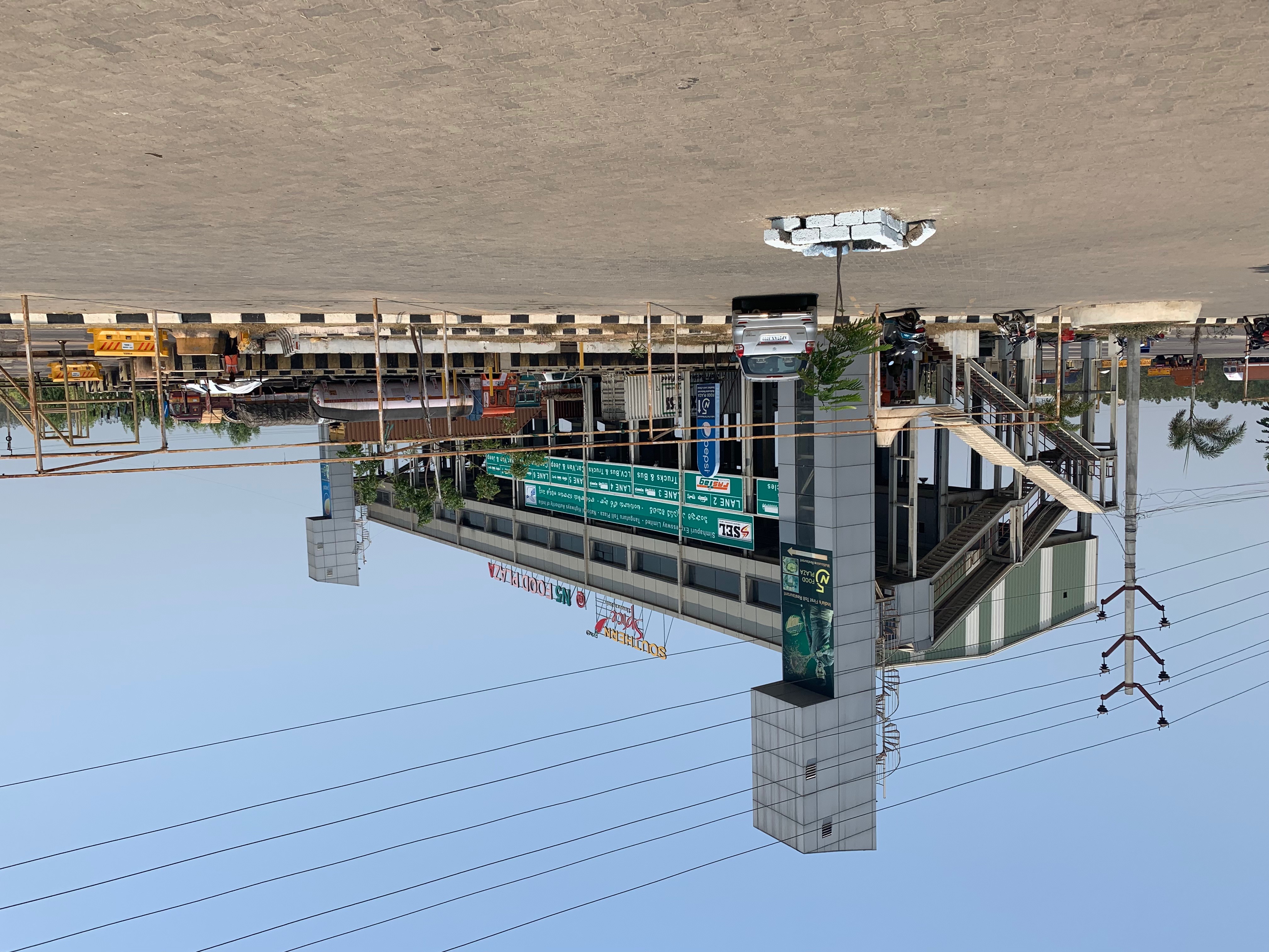
TOLL & RESTAURANT ALL ABOVE THE MAIN DRAG

NOT A LOT OF GIVE & TAKE ON THESE MAIN ROADS, EVERYMAN FOR THEMSELVES!

THE WAY TO VIJAYAWADA

Chickpea Plants

Chickpea Plants

Chickpea Plants

Chickpea Plants

Callcenter Dudes...

Callcenter Dudes...

7777.7 km!
Topographic Map of Singarayakonda, Andhra Pradesh, India
Find elevation by address:

Places in Singarayakonda, Andhra Pradesh, India:
Places near Singarayakonda, Andhra Pradesh, India:
Kandukur Road
Kandukur
Kavali
Prakasam
Allur
Parlapalli
Pallipadu Diet College
Pallipadu
2-8-53
Kovur
Papampalle
1st Main Road
Nellore
Basinepalli
Sarvepalli
Muttukuru
Nellore
Krishnapatnam Port
Thamminapatnam
Komarolu
Recent Searches:
- Elevation of Corso Fratelli Cairoli, 35, Macerata MC, Italy
- Elevation of Tallevast Rd, Sarasota, FL, USA
- Elevation of 4th St E, Sonoma, CA, USA
- Elevation of Black Hollow Rd, Pennsdale, PA, USA
- Elevation of Oakland Ave, Williamsport, PA, USA
- Elevation of Pedrógão Grande, Portugal
- Elevation of Klee Dr, Martinsburg, WV, USA
- Elevation of Via Roma, Pieranica CR, Italy
- Elevation of Tavkvetili Mountain, Georgia
- Elevation of Hartfords Bluff Cir, Mt Pleasant, SC, USA