Elevation map of Nellore, Andhra Pradesh, India
Location: India > Andhra Pradesh >
Longitude: 79.9192702
Latitude: 14.2580848
Elevation: 5m / 16feet
Barometric Pressure: 101KPa
Elevation Map:
Satellite Map:
Related Photos:

Evening light

IMG_5610.jmodifiedpg

Dragon fly
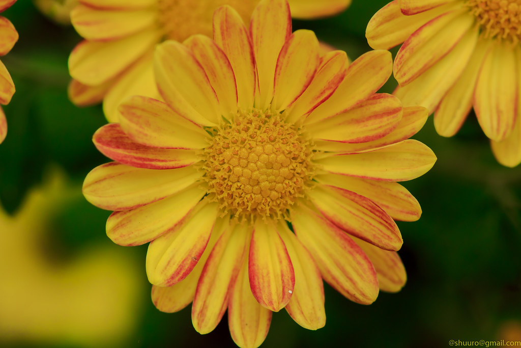
Wild flower2
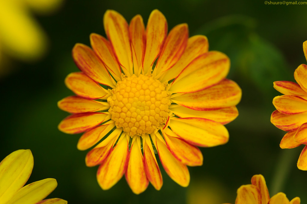
Wild flower

There you go!

A day's hard work

Wild flower

Daily routine

Wild flowers
Wild flower

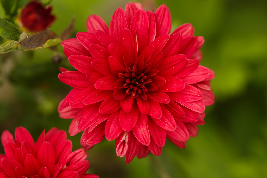
Beautiful moment

What's Up

Hey big guy!
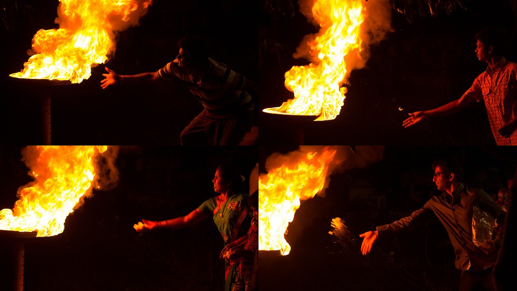
People offering camphor
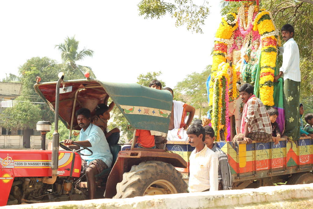
Village procession of gods
Topographic Map of Nellore, Andhra Pradesh, India
Find elevation by address:

Places in Nellore, Andhra Pradesh, India:
Kovur
Thamminapatnam
Gudur
Nellore
Kavali
Venkatagiri
Parlapalli
Kulluru
Govindapalli
Allur
Sarvepalli
Papampalle
Pallipadu
Muttukuru
Places near Nellore, Andhra Pradesh, India:
Sarvepalli
Gudur
Muttukuru
Thamminapatnam
Krishnapatnam Port
Nellore
1st Main Road
Kovur
2-8-53
Govindapalli
Pallipadu
Pallipadu Diet College
Parlapalli
Allur
Kulluru
Kavali
Rajampet
Papampalle
Thippayapalli Ramalayam
Thippayapalle
Recent Searches:
- Elevation of Corso Fratelli Cairoli, 35, Macerata MC, Italy
- Elevation of Tallevast Rd, Sarasota, FL, USA
- Elevation of 4th St E, Sonoma, CA, USA
- Elevation of Black Hollow Rd, Pennsdale, PA, USA
- Elevation of Oakland Ave, Williamsport, PA, USA
- Elevation of Pedrógão Grande, Portugal
- Elevation of Klee Dr, Martinsburg, WV, USA
- Elevation of Via Roma, Pieranica CR, Italy
- Elevation of Tavkvetili Mountain, Georgia
- Elevation of Hartfords Bluff Cir, Mt Pleasant, SC, USA