Elevation of Sierra Cir, Durango, CO, USA
Location: United States > Colorado > Durango >
Longitude: -107.68803
Latitude: 37.360444
Elevation: 2452m / 8045feet
Barometric Pressure: 75KPa
Elevation Map:
Satellite Map:
Related Photos:
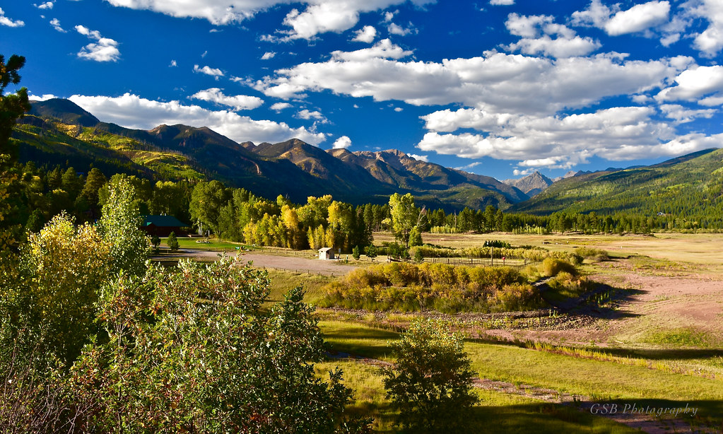
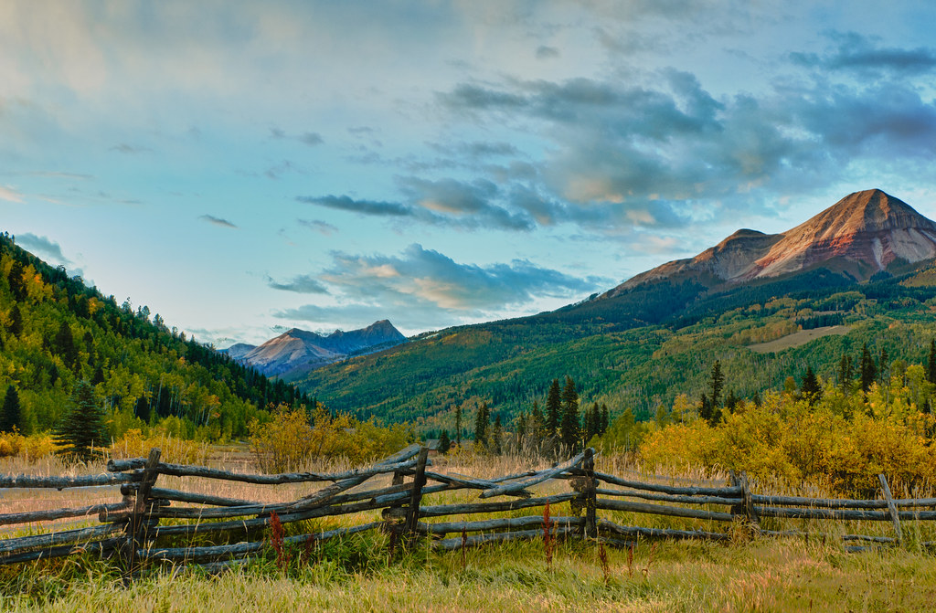
Cool Water Ranch, Colorado

Lemon Reservoir, Colorado

Picture perfect view
Steaming through Trimble

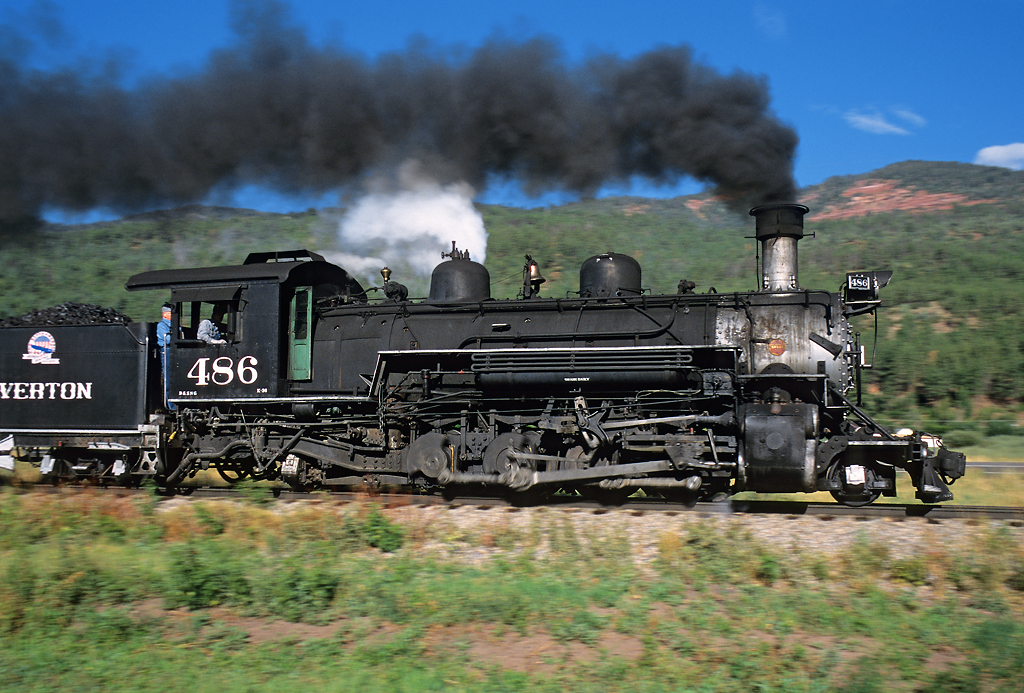
D&SNG 482
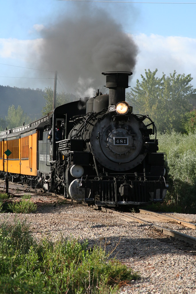
D&SNG 481 - Valley View

Panoramic View from North Edge of Animas City Mountain

The 8:45
The Going Away Shot

Durango & Silverton Rounding Treasure Pass, Durango, Colorado

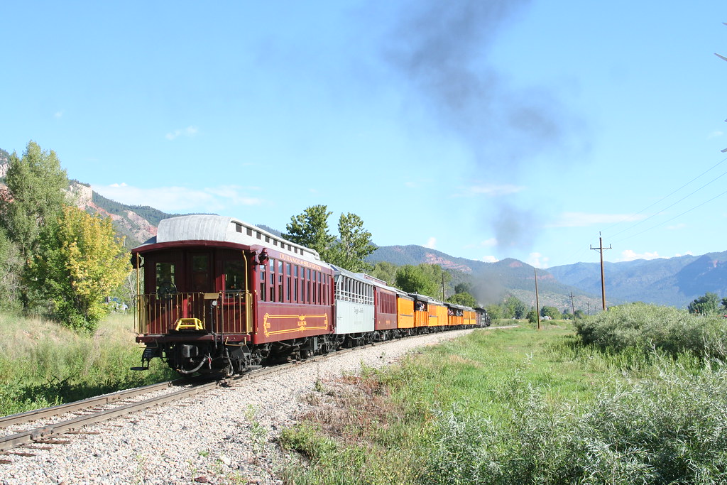
Durango Express
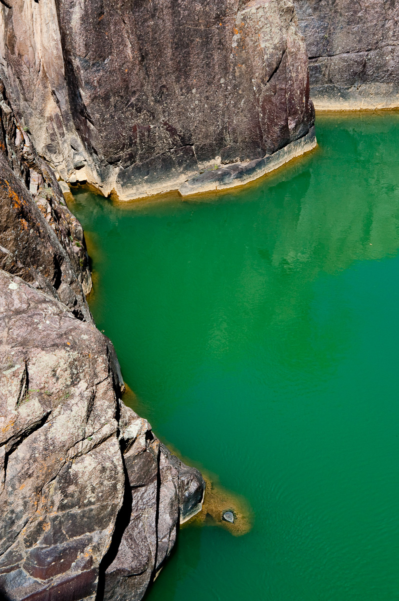
Emerald River

Animas City Mountain

Up At Vallecito!

Haflin Creek Trail

Ready to Fly

Hot Spring DSC_9142

View from the Deck

DSC_3572.jpg

Beauty Everywhere
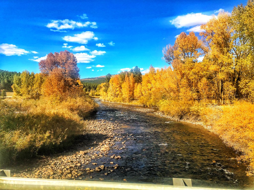
Fall Colors in Colorado

Lemon Reservoir in Durango, Colorado, 2 days ago. There is no snow and it is February. Looks drought could be on the horizon.

Homeward Journey

Hermosa Railroad Bridge and Water Tank
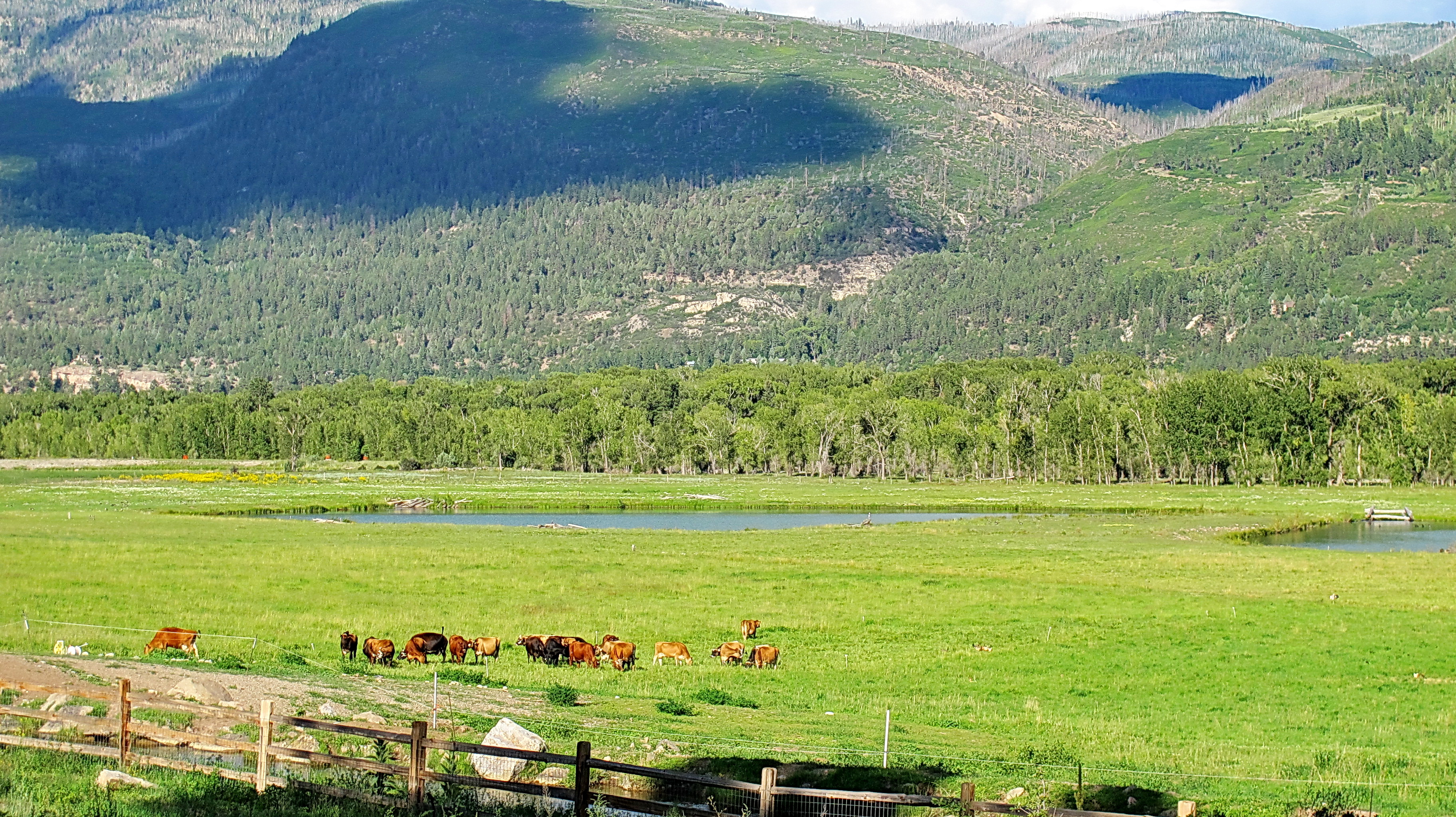
James Ranch dairy cows - organic dairy operation
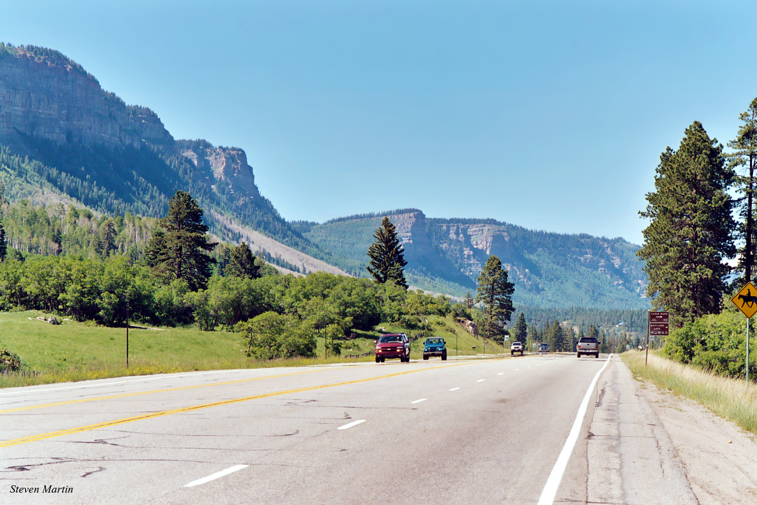
Highway 550 North of Durango, Colorado

418118.jpg

Los Pinos River: North of Bayfield, Colorado (CO)

Pinkerton Hot Springs. North of Durango, CO

Red Angus: River Ranch: North of Bayfield, Colorado (CO)

Pinkerton Hot Springs

Tamp those Ties

Magical Morning

The Animas River
Colorado roadside vista under late afternoon light... Autumn, 2011

Just Before the Washout
Topographic Map of Sierra Cir, Durango, CO, USA
Find elevation by address:

Places near Sierra Cir, Durango, CO, USA:
O-bar-o Cabins
11998 Co Rd 240
County Road 245
230 Glenn Ln
14688 Co Rd 240
147 Sunrise Ln
Rosalie Drive
11565 Co Rd 502
10676 Co Rd 502
Miller Creek Campground
371 Co Rd 247
728 Hilltop Dr
Lydick Lane
871 Lydick Ln
29 Eckart Ln
74 Eckart Ln
201 Grayhackle Dr
7091 Co Rd 228
82 Deer Ridge Dr
574 Tripple Rd
Recent Searches:
- Elevation of Corso Fratelli Cairoli, 35, Macerata MC, Italy
- Elevation of Tallevast Rd, Sarasota, FL, USA
- Elevation of 4th St E, Sonoma, CA, USA
- Elevation of Black Hollow Rd, Pennsdale, PA, USA
- Elevation of Oakland Ave, Williamsport, PA, USA
- Elevation of Pedrógão Grande, Portugal
- Elevation of Klee Dr, Martinsburg, WV, USA
- Elevation of Via Roma, Pieranica CR, Italy
- Elevation of Tavkvetili Mountain, Georgia
- Elevation of Hartfords Bluff Cir, Mt Pleasant, SC, USA