Elevation of Glenn Ln, Durango, CO, USA
Location: United States > Colorado > Durango >
Longitude: -107.65713
Latitude: 37.358545
Elevation: 2467m / 8094feet
Barometric Pressure: 75KPa
Elevation Map:
Satellite Map:
Related Photos:
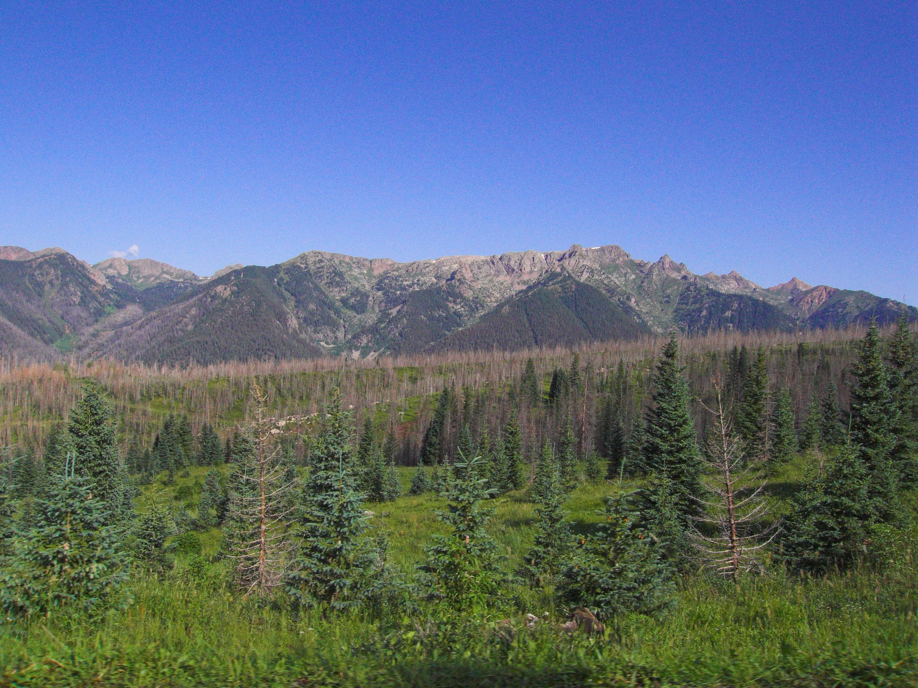
Middle Mountain Road
Middle Mountain Road
View from the Deck

Ready to Fly
5844 View from Route 501 of the Pine River Valley as I drive the car back to the Pine River Campground
The view from the cabin
~ a heavenly morning with missionary ridge ~

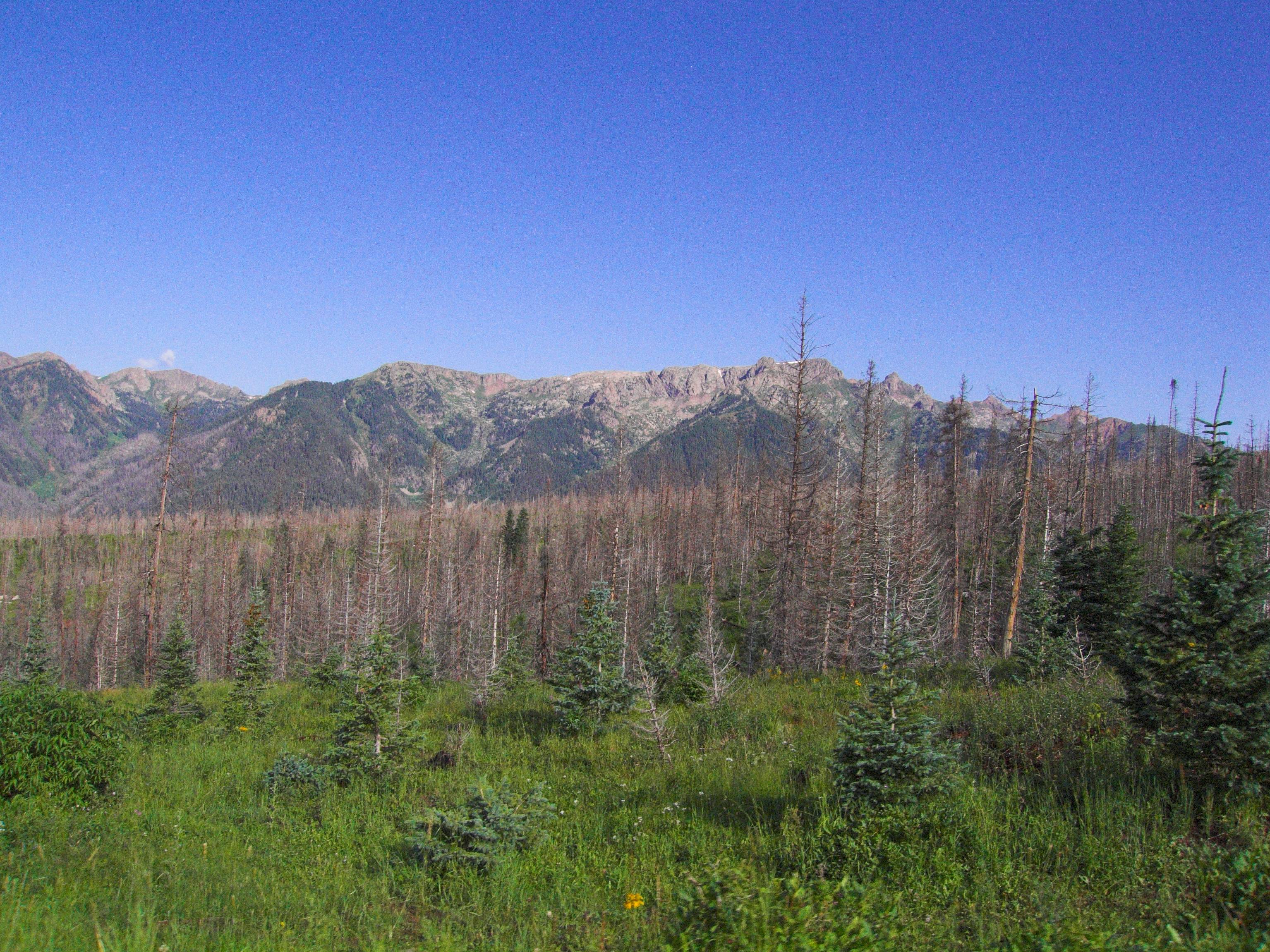
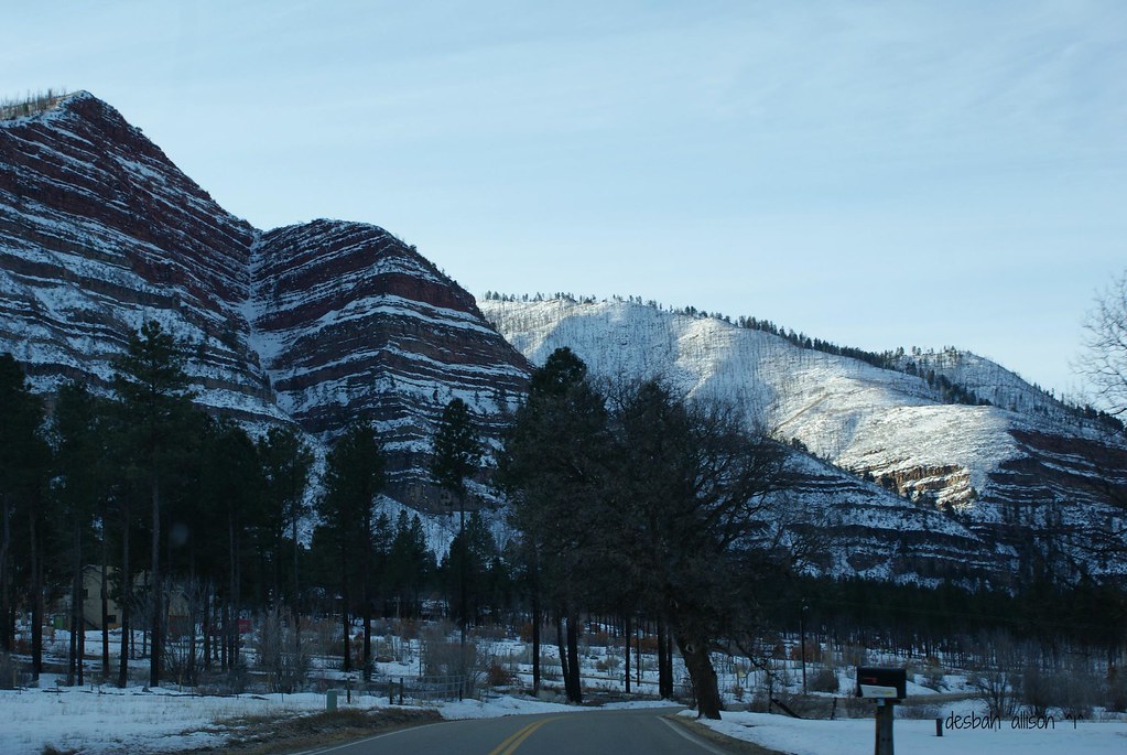
San Juan National Forest

Meadow in snow

The Animas Valley at Sunrise
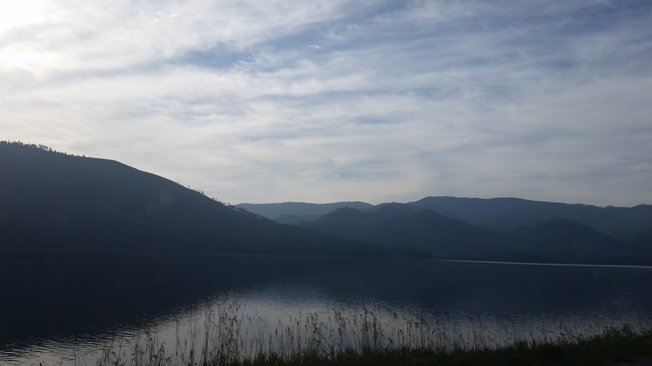
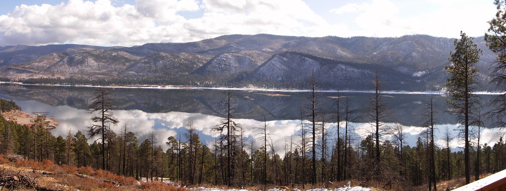
5961 Vallecito Reservoir in the morning as we drive back home

Morning Descends, II
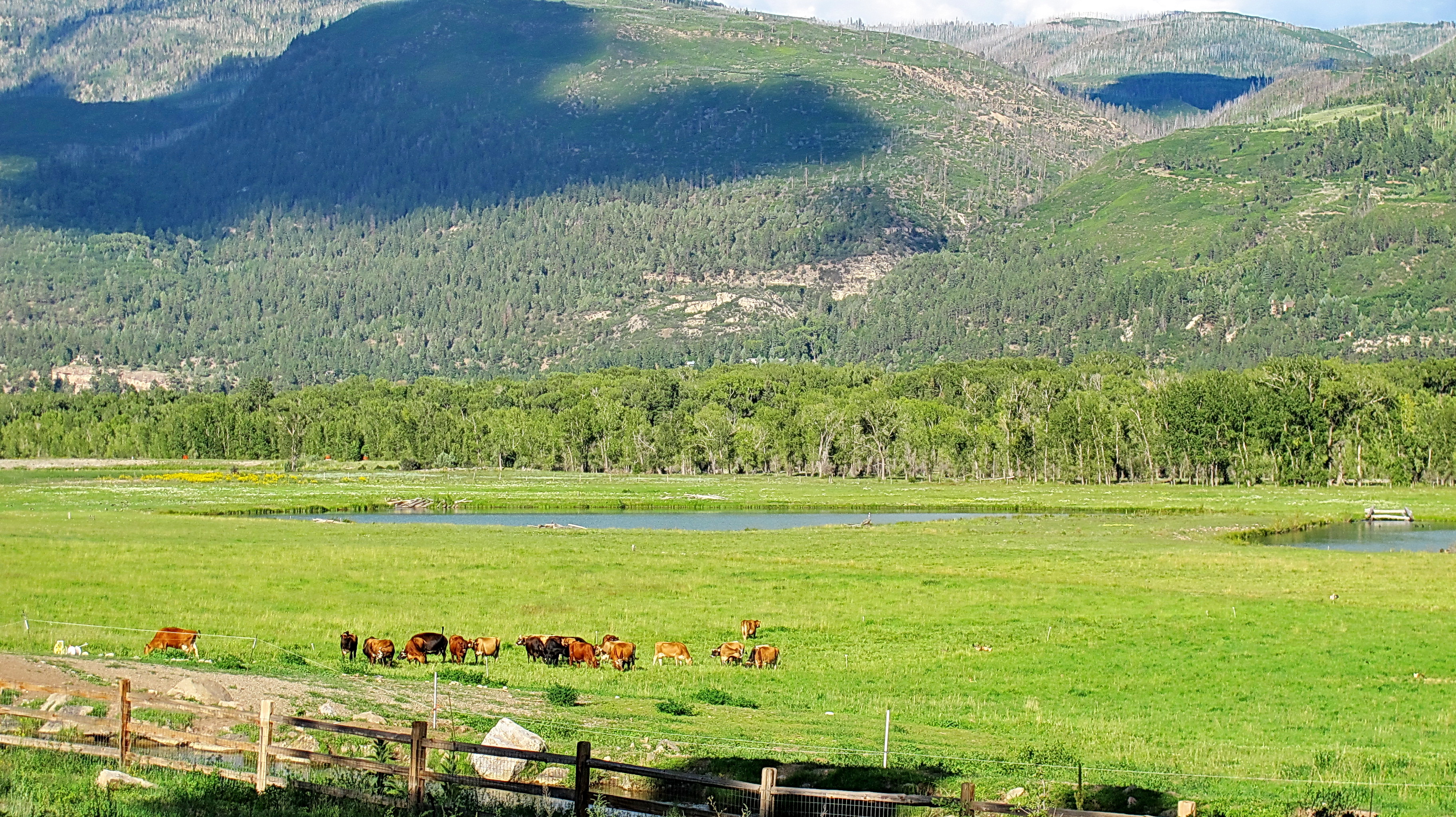
James Ranch dairy cows - organic dairy operation
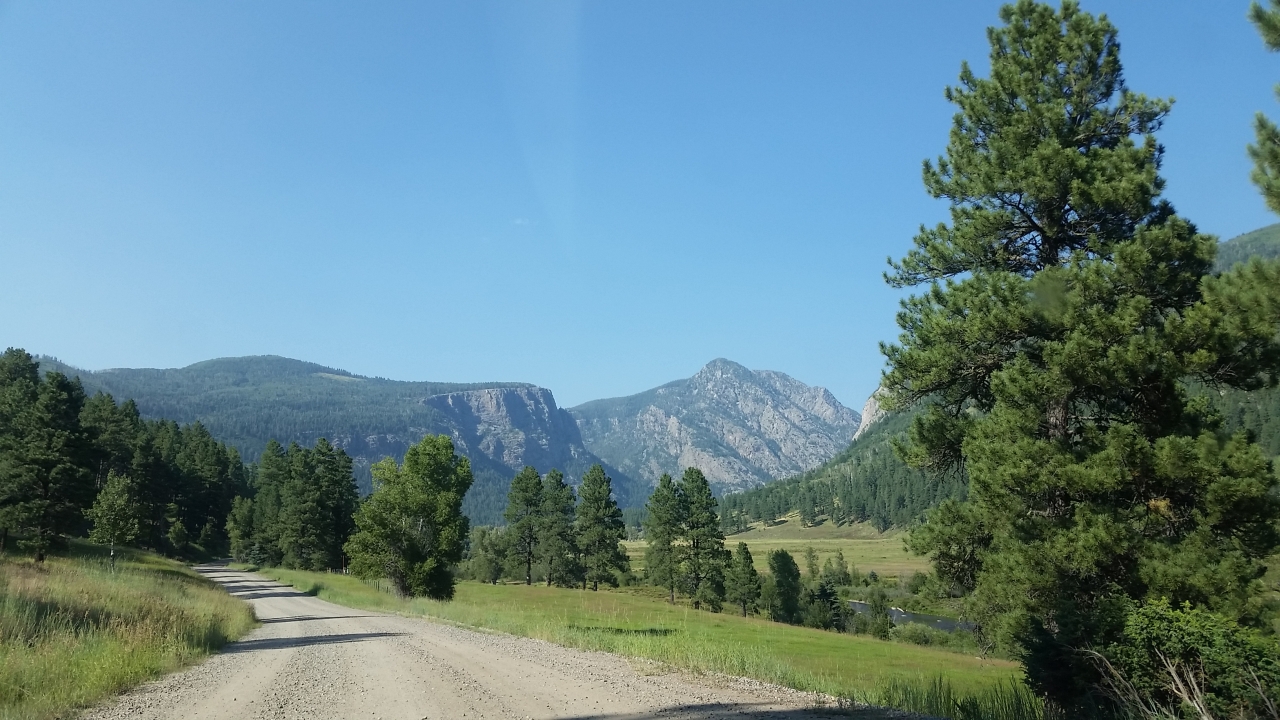
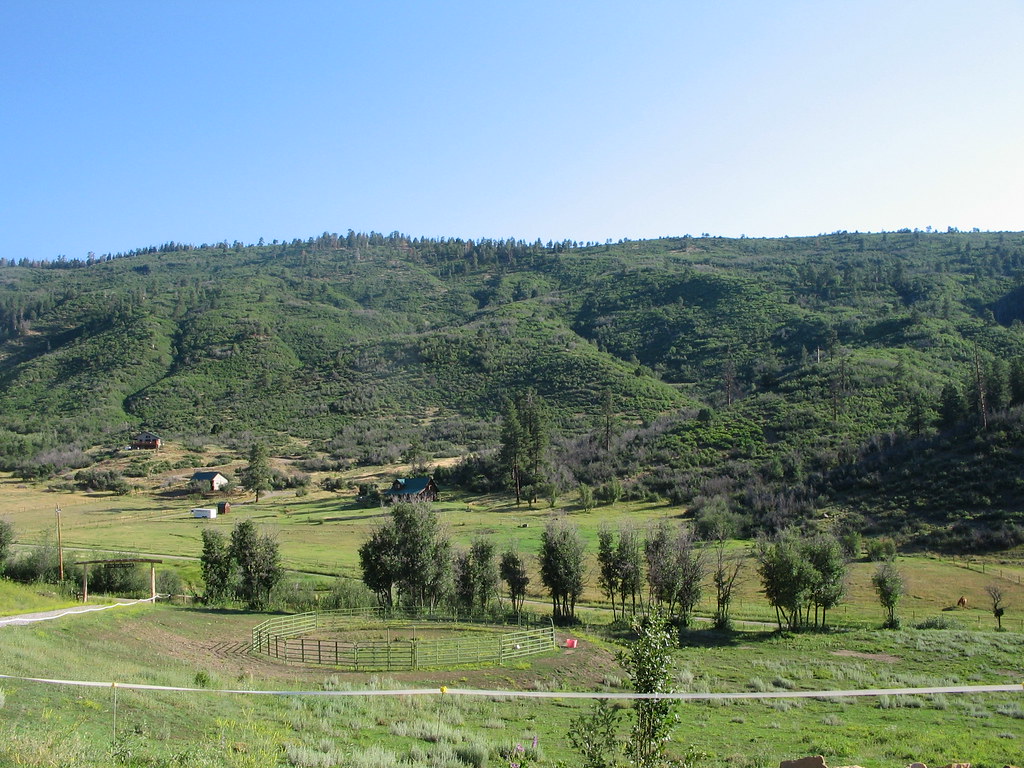
Pine River Valley
Sheep on a country road

Sunset out in the sticks
Mesa Verde Trip-3

P1010779.jpg

2615 Sunrise over Vallecito Reservoir with Irving Peak (13218 feet elevation) and a fisherman in a boat

Mesa Verde Trip-2

Mountain. Taken with my new Canon PowerShot SX50 HS, which I got as a graduation present. :)
FourCorners 061
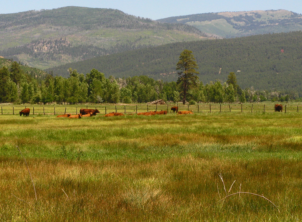
Red Angus: River Ranch: North of Bayfield, Colorado (CO)
Topographic Map of Glenn Ln, Durango, CO, USA
Find elevation by address:

Places near Glenn Ln, Durango, CO, USA:
14688 Co Rd 240
Rosalie Drive
671 Sierra Cir
County Road 245
147 Sunrise Ln
11565 Co Rd 502
201 Grayhackle Dr
O-bar-o Cabins
11998 Co Rd 240
Miller Creek Campground
82 Deer Ridge Dr
728 Hilltop Dr
10676 Co Rd 502
204 Snowbird Ct
29 Eckart Ln
583 Deer Ridge Dr
74 Eckart Ln
802 Forest Lakes Dr
504 Blue Ridge Dr
1424 Ludwig Dr
Recent Searches:
- Elevation of Corso Fratelli Cairoli, 35, Macerata MC, Italy
- Elevation of Tallevast Rd, Sarasota, FL, USA
- Elevation of 4th St E, Sonoma, CA, USA
- Elevation of Black Hollow Rd, Pennsdale, PA, USA
- Elevation of Oakland Ave, Williamsport, PA, USA
- Elevation of Pedrógão Grande, Portugal
- Elevation of Klee Dr, Martinsburg, WV, USA
- Elevation of Via Roma, Pieranica CR, Italy
- Elevation of Tavkvetili Mountain, Georgia
- Elevation of Hartfords Bluff Cir, Mt Pleasant, SC, USA