Elevation of Sidon Rd, Rose Bud, AR, USA
Location: United States > Arkansas > White County > Cadron Township >
Longitude: -91.938945
Latitude: 35.344834
Elevation: 219m / 719feet
Barometric Pressure: 99KPa
Elevation Map:
Satellite Map:
Related Photos:
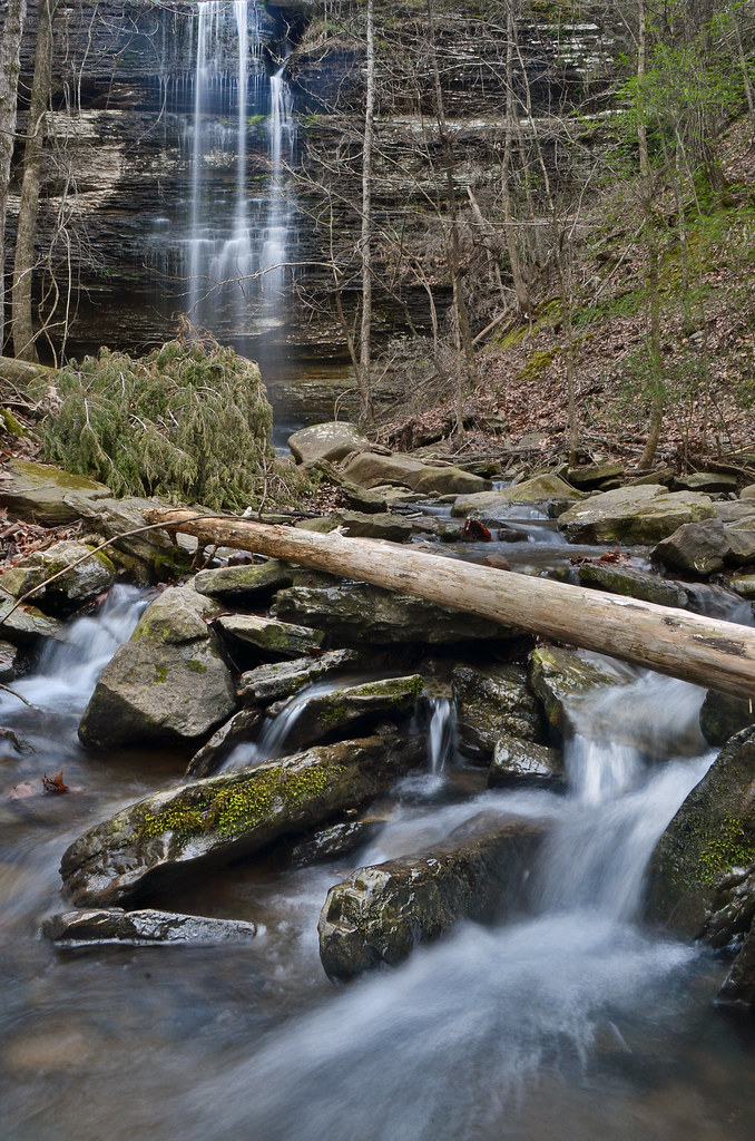
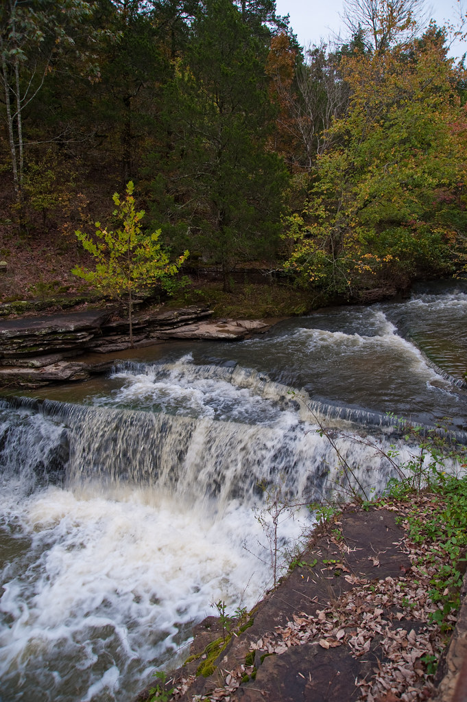
Cornelius Falls
Hog Foot Creek-Top View
Hog Foot Creek-Side View
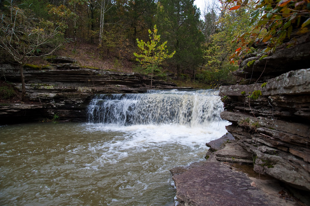
Romance Waterfalls
Top of Romance Waterfalls

Swans taking off
Fly In The Sky 1 of 2

Fly In The Sky 2 of 2
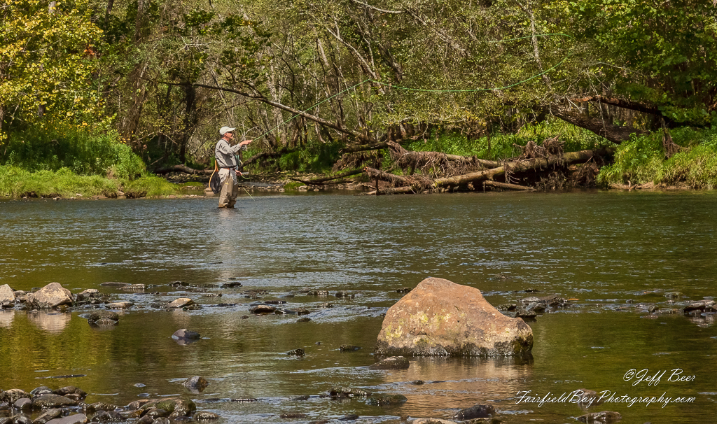
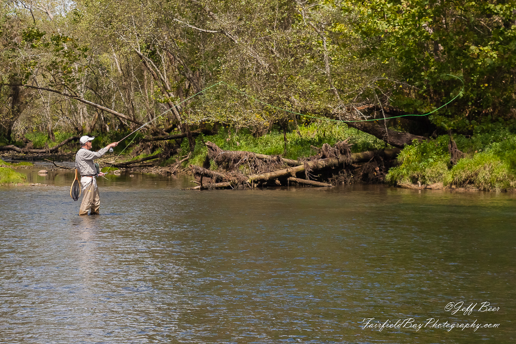
Casting Call?
Topographic Map of Sidon Rd, Rose Bud, AR, USA
Find elevation by address:

Places near Sidon Rd, Rose Bud, AR, USA:
Cadron Township
Mountain Township
Pickens Township
Marion Township
Pangburn Rd, Heber Springs, AR, USA
5780 Pangburn Rd
AR-, Heber Springs, AR, USA
Letona
Primrose Creek Swimming Pool
Sugar Loaf Township
Main St, Pangburn, AR, USA
Pangburn
Albion Township
AR-16, Searcy, AR, USA
Heber Township
Ar-16 & Ar-5
Big Creek Township
117 E Main St
Cleburne County
Heber Springs
Recent Searches:
- Elevation of Corso Fratelli Cairoli, 35, Macerata MC, Italy
- Elevation of Tallevast Rd, Sarasota, FL, USA
- Elevation of 4th St E, Sonoma, CA, USA
- Elevation of Black Hollow Rd, Pennsdale, PA, USA
- Elevation of Oakland Ave, Williamsport, PA, USA
- Elevation of Pedrógão Grande, Portugal
- Elevation of Klee Dr, Martinsburg, WV, USA
- Elevation of Via Roma, Pieranica CR, Italy
- Elevation of Tavkvetili Mountain, Georgia
- Elevation of Hartfords Bluff Cir, Mt Pleasant, SC, USA