Elevation of Marion Township, AR, USA
Location: United States > Arkansas > White County >
Longitude: -91.856221
Latitude: 35.3488901
Elevation: 101m / 331feet
Barometric Pressure: 100KPa
Elevation Map:
Satellite Map:
Related Photos:

Early morning fall colors

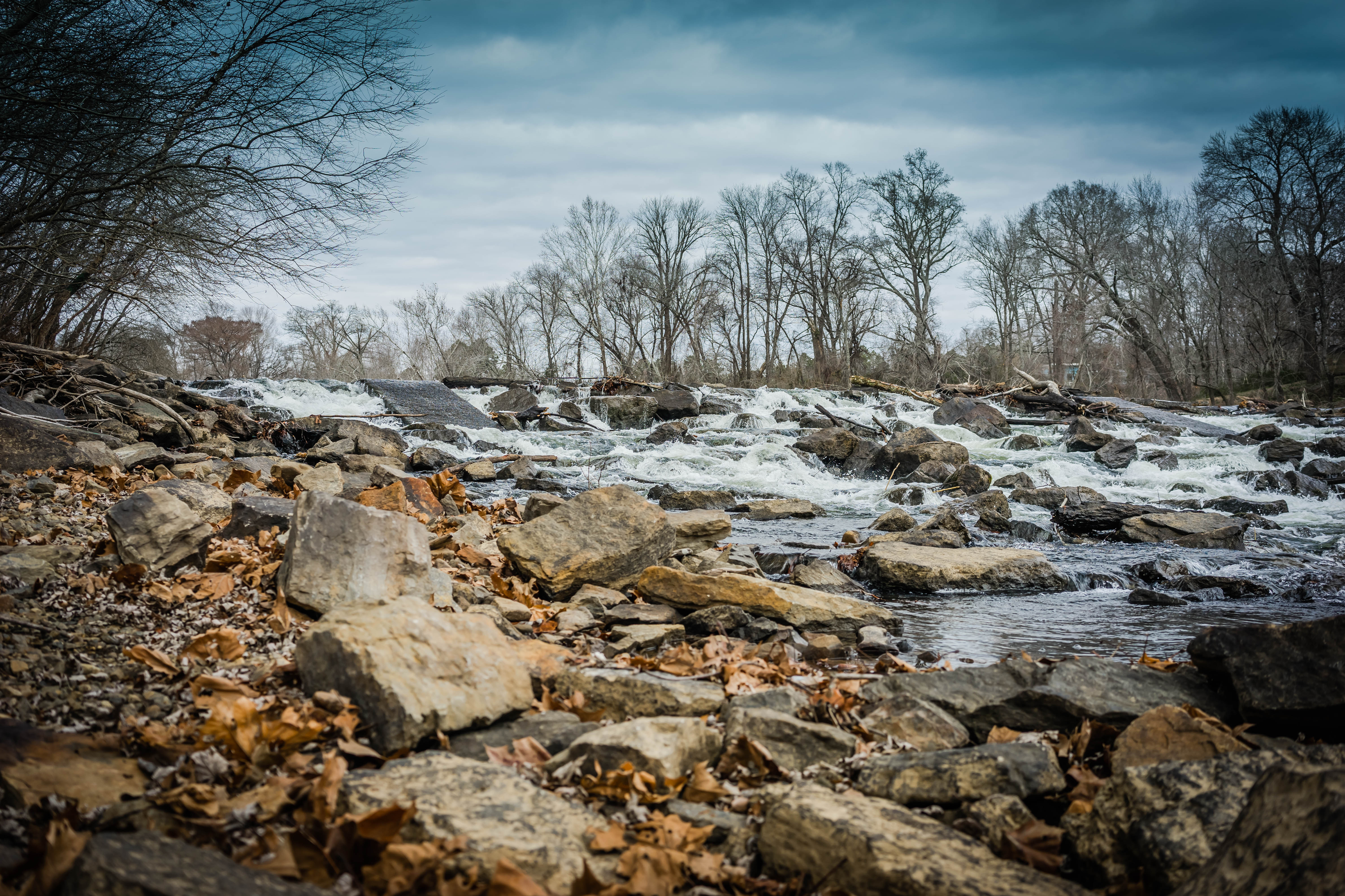
Hog Foot Creek-Top View

All five kids at school. My view for the day. Can't you hear the quiet!!! 3/365

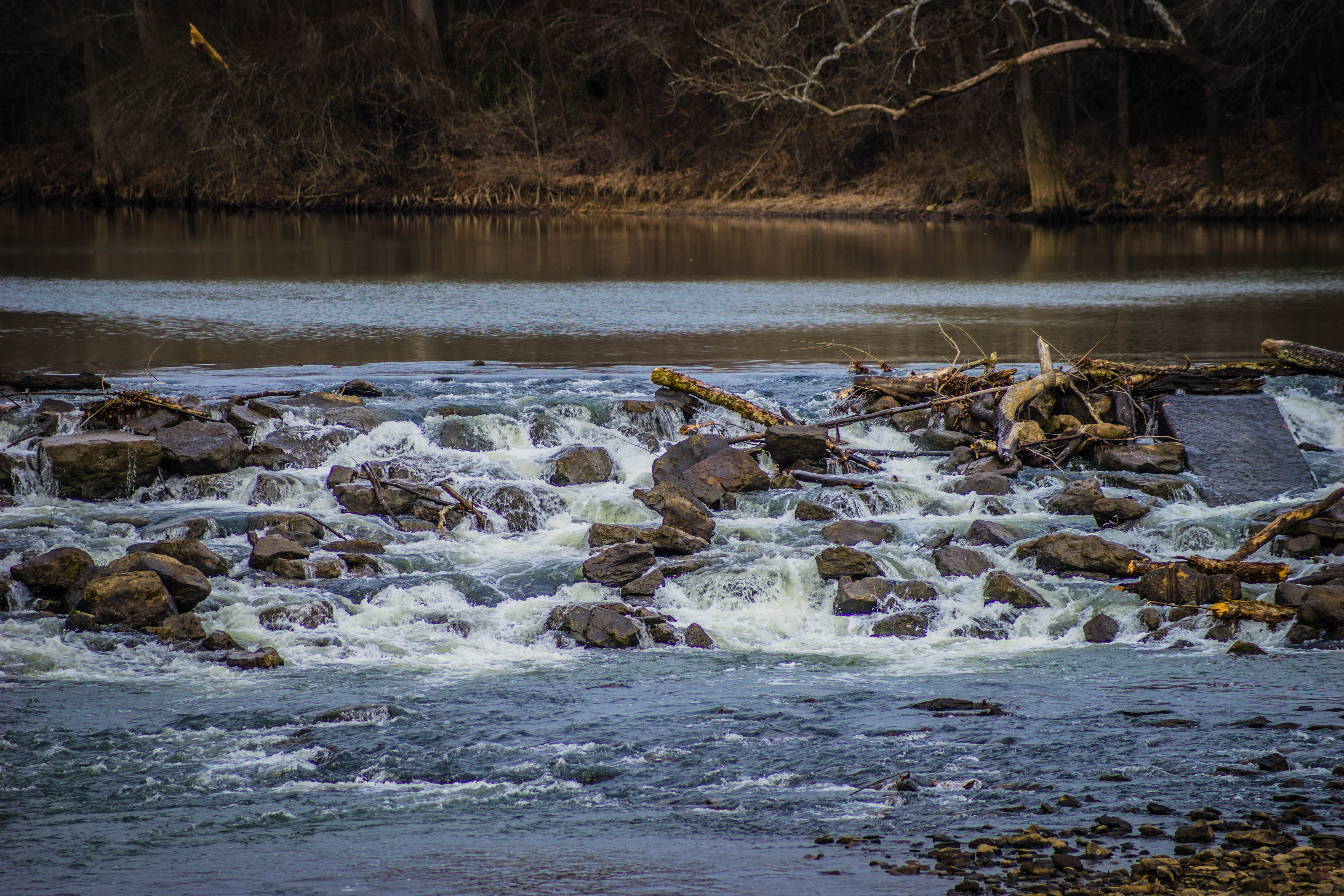
Hog Foot Creek-Side View

The view behind Boomers

Searcy gingerbread

_DSC0647.jpg

_DSC0639.jpg

Fall pathway
_DSC0722.jpg

_DSC0634.jpg

_DSC0657.jpg

_DSC0702.jpg

_DSC0703.jpg

_DSC0689.jpg

_DSC0662.jpg

_DSC0668.jpg

_DSC0656.jpg

_DSC0659.jpg

_DSC0644.jpg

_DSC0654.jpg

_DSC0607.jpg

_DSC0630.jpg

_DSC0626.jpg
_DSC0606.jpg

Fly In The Sky 2 of 2
Topographic Map of Marion Township, AR, USA
Find elevation by address:

Places in Marion Township, AR, USA:
Places near Marion Township, AR, USA:
Letona
Albion Township
Pickens Township
AR-16, Searcy, AR, USA
5780 Pangburn Rd
Main St, Pangburn, AR, USA
Pangburn
Sidon Rd, Rose Bud, AR, USA
Pangburn Rd, Heber Springs, AR, USA
Big Creek Township
Cadron Township
AR-, Heber Springs, AR, USA
Mountain Township
Primrose Creek Swimming Pool
Sugar Loaf Township
Heber Township
Ar-16 & Ar-5
117 E Main St
Heber Springs
Heber Springs High School
Recent Searches:
- Elevation of Corso Fratelli Cairoli, 35, Macerata MC, Italy
- Elevation of Tallevast Rd, Sarasota, FL, USA
- Elevation of 4th St E, Sonoma, CA, USA
- Elevation of Black Hollow Rd, Pennsdale, PA, USA
- Elevation of Oakland Ave, Williamsport, PA, USA
- Elevation of Pedrógão Grande, Portugal
- Elevation of Klee Dr, Martinsburg, WV, USA
- Elevation of Via Roma, Pieranica CR, Italy
- Elevation of Tavkvetili Mountain, Georgia
- Elevation of Hartfords Bluff Cir, Mt Pleasant, SC, USA