Elevation of Shur Mast, Mazandaran, Iran
Location: Iran > Mazandaran >
Longitude: 53.0381688
Latitude: 36.0908427
Elevation: 1111m / 3645feet
Barometric Pressure: 0KPa
Related Photos:
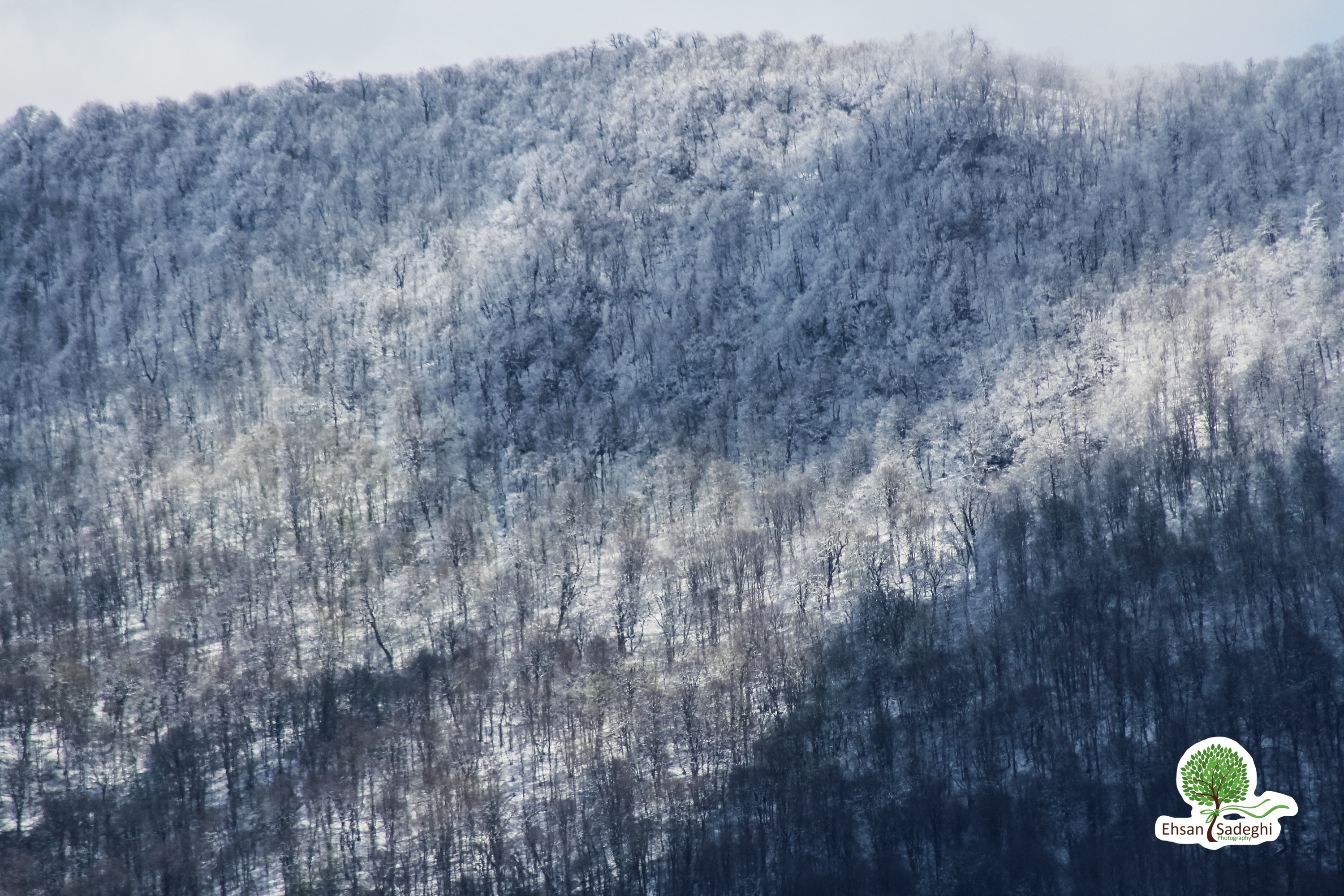
Ehasn_20160318_IMG_0476.jpg

Sari 2nafar

Lake and stars

mournful mother

...

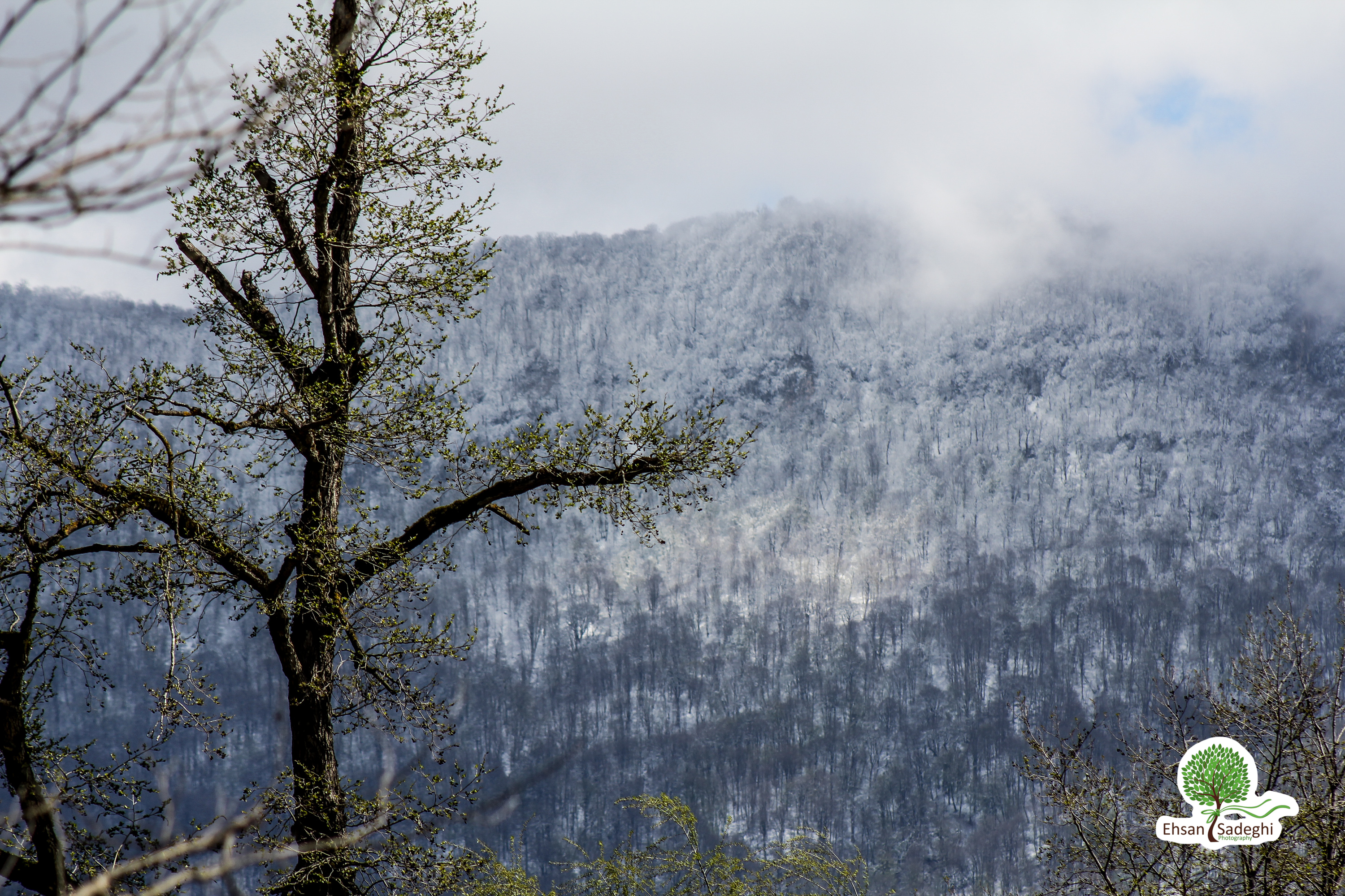
Ehasn_20160318_IMG_0480.jpg

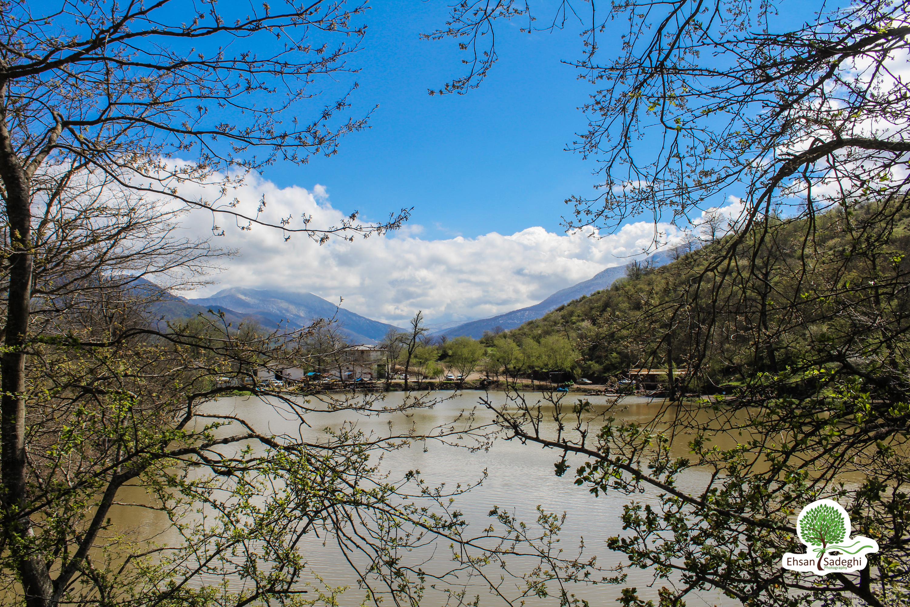
Ehasn_20160318_IMG_0472.jpg
Ehasn_20160318_IMG_0467.jpg
Ehasn_20160318_IMG_0449.jpg

#alone #fairytail #girls #girls #blackandwhite #blackandwhitephotographer #blackandwhitephotography #iran #travelphotography #savdkooh #سوادکوه ##fair #azarbaijan #gettyspostlight #helloicp #documentary #documentaryphotographer #documentaryphotography
Topographic Map of Shur Mast, Mazandaran, Iran
Find elevation by address:

Places near Shur Mast, Mazandaran, Iran:
Pol Sefid
Khatir Kooh
Mohammad Abad
Shirgah
Alborz Dam
Qaemshahr
Firuzkuh
Talar River
Mahdi Shahr
Filband
Mazandaran
Filband Road
Central District
Babol
Babol County
Semnan
Sorkheh
Biyabanak
Lut
Simindasht
Recent Searches:
- Elevation of 116, Beartown Road, Underhill, Chittenden County, Vermont, 05489, USA
- Elevation of Window Rock, Colfax County, New Mexico, 87714, USA
- Elevation of 4807, Rosecroft Street, Kempsville Gardens, Virginia Beach, Virginia, 23464, USA
- Elevation map of Matawinie, Quebec, Canada
- Elevation of Sainte-Émélie-de-l'Énergie, Matawinie, Quebec, Canada
- Elevation of Rue du Pont, Sainte-Émélie-de-l'Énergie, Matawinie, Quebec, J0K2K0, Canada
- Elevation of 8, Rue de Bécancour, Blainville, Thérèse-De Blainville, Quebec, J7B1N2, Canada
- Elevation of Wilmot Court North, 163, University Avenue West, Northdale, Waterloo, Region of Waterloo, Ontario, N2L6B6, Canada
- Elevation map of Panamá Province, Panama
- Elevation of Balboa, Panamá Province, Panama
- Elevation of San Miguel, Balboa, Panamá Province, Panama
- Elevation of Isla Gibraleón, San Miguel, Balboa, Panamá Province, Panama
- Elevation of 4655, Krischke Road, Schulenburg, Fayette County, Texas, 78956, USA
- Elevation of Carnegie Avenue, Downtown Cleveland, Cleveland, Cuyahoga County, Ohio, 44115, USA
- Elevation of Walhonding, Coshocton County, Ohio, USA
- Elevation of Clifton Down, Clifton, Bristol, City of Bristol, England, BS8 3HU, United Kingdom
- Elevation map of Auvergne-Rhône-Alpes, France
- Elevation map of Upper Savoy, Auvergne-Rhône-Alpes, France
- Elevation of Chamonix-Mont-Blanc, Upper Savoy, Auvergne-Rhône-Alpes, France
- Elevation of 908, Northwood Drive, Bridge Field, Chesapeake, Virginia, 23322, USA