Elevation of Firuzkuh, Tehran Province, Iran
Location: Iran > Tehran >
Longitude: 52.7723553
Latitude: 35.7549861
Elevation: 1939m / 6362feet
Barometric Pressure: 80KPa
Elevation Map:
Satellite Map:
Related Photos:
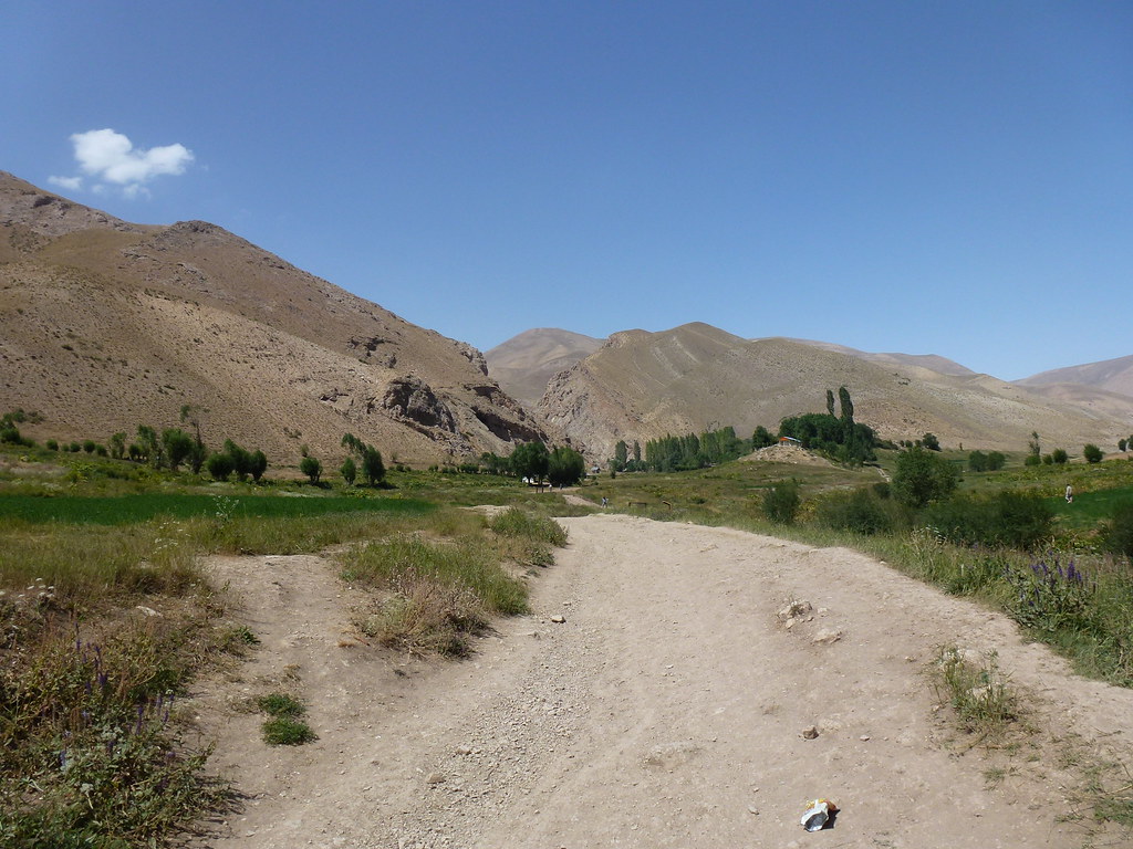
076-P1050690

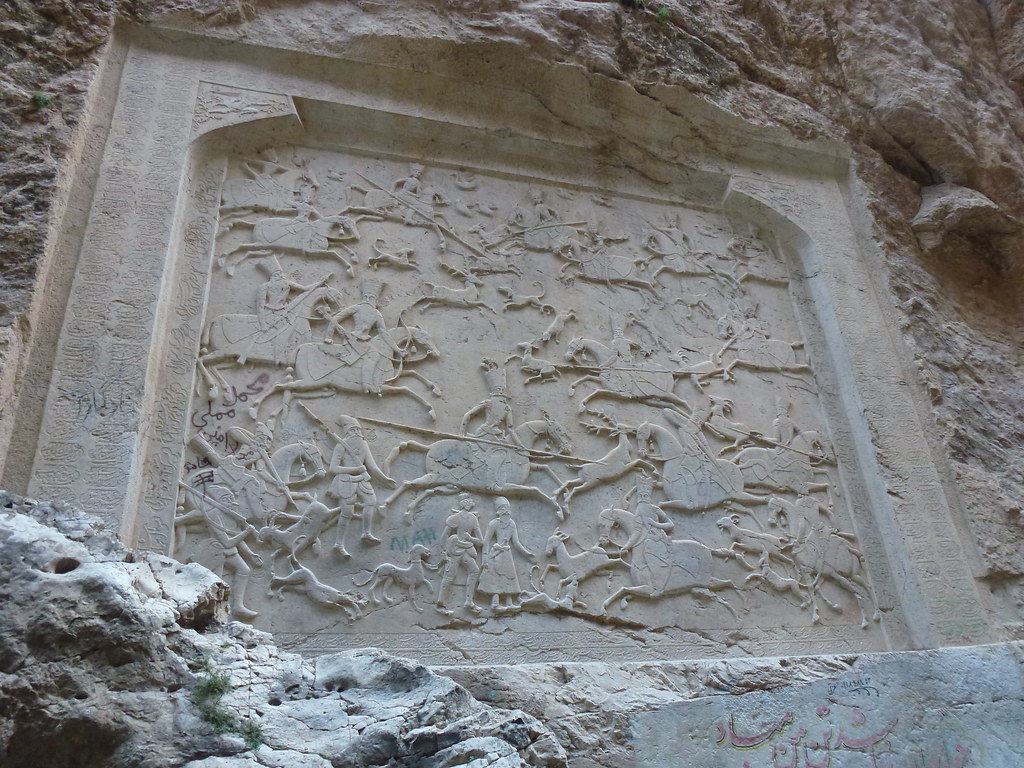
تنگه اول
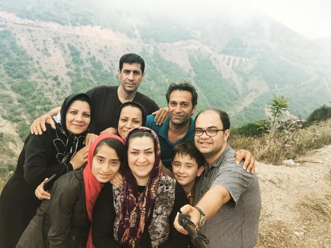
ی روز خنک در گرمای شدید تابستان

Besökare Samtidigt
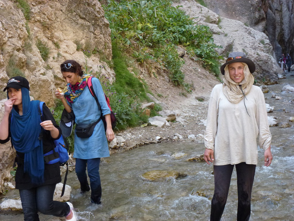
079-P1050720
078-P1050703
087-P1050723

088-P1050724

090-P1050726

089-P1050725
095-P1050727
077-P1050695
Topographic Map of Firuzkuh, Tehran Province, Iran
Find elevation by address:

Places near Firuzkuh, Tehran Province, Iran:
Simindasht
Khatir Kooh
Shur Mast
Pol Sefid
Filband
Alborz Dam
Filband Road
Deh Namak, Semnan
Lut
Sorkheh
Mazandaran
Shirgah
Nava
Mahdi Shahr
Aradan
آبگرم پایین لاریجان
هتل دماوند
Biyabanak
Upper Abgarm Larijan
Haraz Road
Recent Searches:
- Elevation of Corso Fratelli Cairoli, 35, Macerata MC, Italy
- Elevation of Tallevast Rd, Sarasota, FL, USA
- Elevation of 4th St E, Sonoma, CA, USA
- Elevation of Black Hollow Rd, Pennsdale, PA, USA
- Elevation of Oakland Ave, Williamsport, PA, USA
- Elevation of Pedrógão Grande, Portugal
- Elevation of Klee Dr, Martinsburg, WV, USA
- Elevation of Via Roma, Pieranica CR, Italy
- Elevation of Tavkvetili Mountain, Georgia
- Elevation of Hartfords Bluff Cir, Mt Pleasant, SC, USA