Elevation of Aradan, Semnan Province, Iran
Location: Iran > Semnan Province > Garmsar >
Longitude: 52.492073
Latitude: 35.247165
Elevation: 877m / 2877feet
Barometric Pressure: 0KPa
Related Photos:

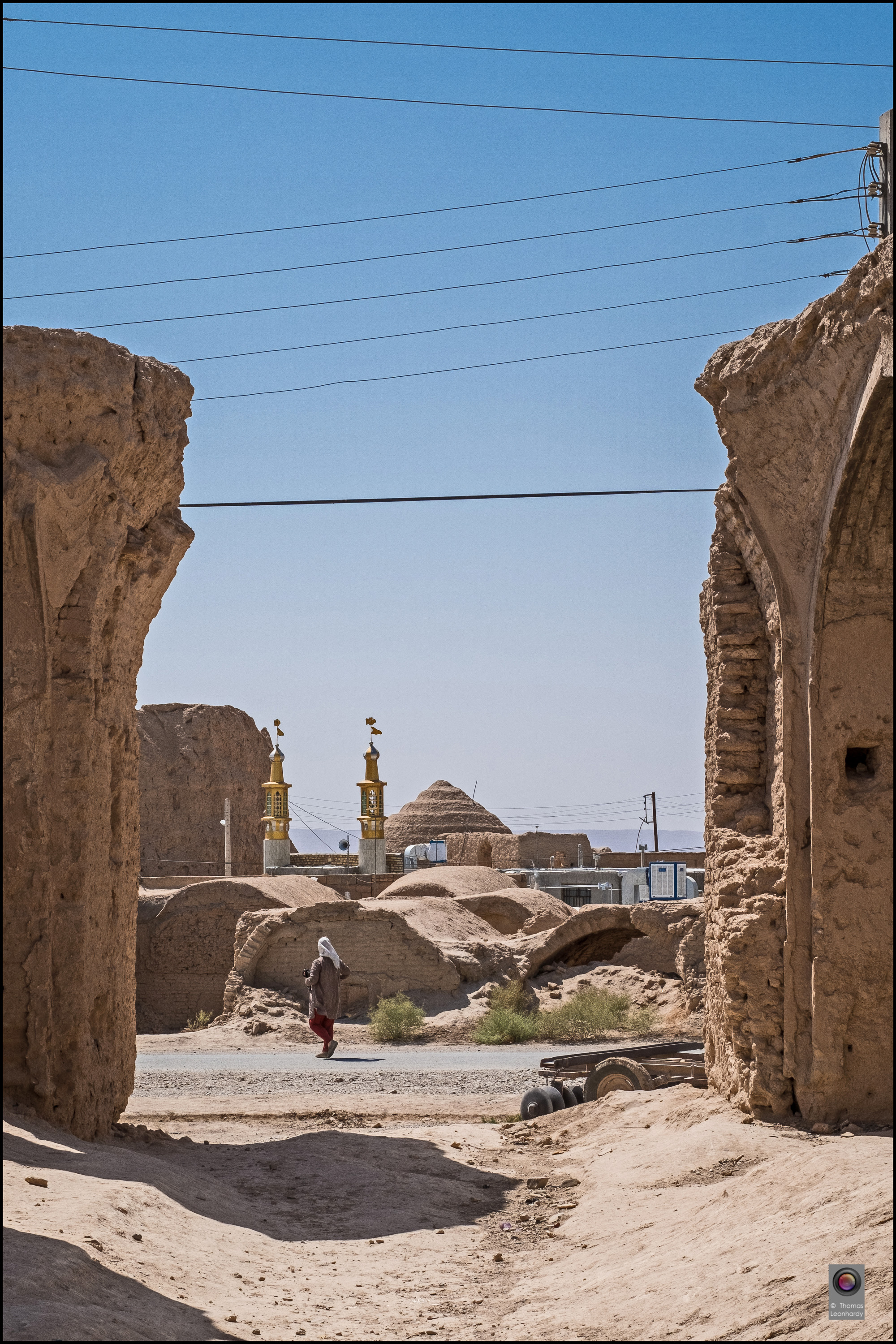
Iran2016-29 Kopie

Iran2016-23 Kopie

Iran2016-26 Kopie

Iran2016-2 Kopie

Iran2016-3 Kopie

Iran2016-9 Kopie

Iran2016-13 Kopie

Iran2016-15 Kopie

Iran2016-17 Kopie

Iran2016-18 Kopie

Iran2016-24 Kopie

Iran2016-27 Kopie
Iran2016-32 Kopie

Some mountain among the way
Topographic Map of Aradan, Semnan Province, Iran
Find elevation by address:

Places near Aradan, Semnan Province, Iran:
Garmsār
Deh Namak, Semnan
Simindasht
Absard
Firuzkuh
Damavand
Gilavand
روح افزا
دالان بهشت
Nava
Haraz Road
Haraz Road
آبگرم پایین لاریجان
هتل دماوند
Upper Abgarm Larijan
Lut
Sorkheh
Biyabanak
Mount Damavand
Filband
Recent Searches:
- Elevation of 4655, Krischke Road, Schulenburg, Fayette County, Texas, 78956, USA
- Elevation of Carnegie Avenue, Downtown Cleveland, Cleveland, Cuyahoga County, Ohio, 44115, USA
- Elevation of Walhonding, Coshocton County, Ohio, USA
- Elevation of Clifton Down, Clifton, Bristol, City of Bristol, England, BS8 3HU, United Kingdom
- Elevation map of Auvergne-Rhône-Alpes, France
- Elevation map of Upper Savoy, Auvergne-Rhône-Alpes, France
- Elevation of Chamonix-Mont-Blanc, Upper Savoy, Auvergne-Rhône-Alpes, France
- Elevation of 908, Northwood Drive, Bridge Field, Chesapeake, Virginia, 23322, USA
- Elevation map of Nagano Prefecture, Japan
- Elevation of 587, Bascule Drive, Oakdale, Stanislaus County, California, 95361, USA
- Elevation of Stadion Wankdorf, Sempachstrasse, Breitfeld, Bern, Bern-Mittelland administrative district, Bern, 3014, Switzerland
- Elevation of Z024, 76, Emil-von-Behring-Straße, Marbach, Marburg, Landkreis Marburg-Biedenkopf, Hesse, 35041, Germany
- Elevation of Gaskill Road, Hunts Cross, Liverpool, England, L24 9PH, United Kingdom
- Elevation of Speke, Liverpool, England, L24 9HD, United Kingdom
- Elevation of Seqirus, 475, Green Oaks Parkway, Holly Springs, Wake County, North Carolina, 27540, USA
- Elevation of Pasing, Munich, Bavaria, 81241, Germany
- Elevation of 24, Auburn Bay Crescent SE, Auburn Bay, Calgary, Alberta, T3M 0A6, Canada
- Elevation of Denver, 2314, Arapahoe Street, Five Points, Denver, Colorado, 80205, USA
- Elevation of Community of the Beatitudes, 2924, West 43rd Avenue, Sunnyside, Denver, Colorado, 80211, USA
- Elevation map of Litang County, Sichuan, China