Elevation of Mount Damavand, Iran
Location: Iran > Mazandaran >
Longitude: 52.1099798
Latitude: 35.9548356
Elevation: 2761m / 9058feet
Barometric Pressure: 72KPa
Elevation Map:
Satellite Map:
Related Photos:
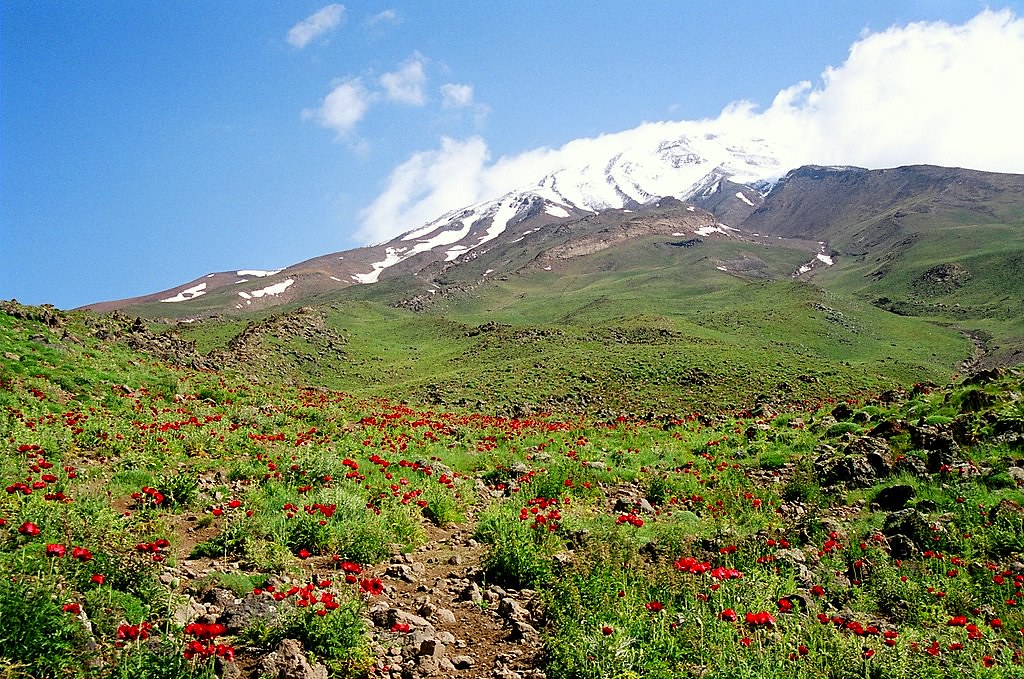
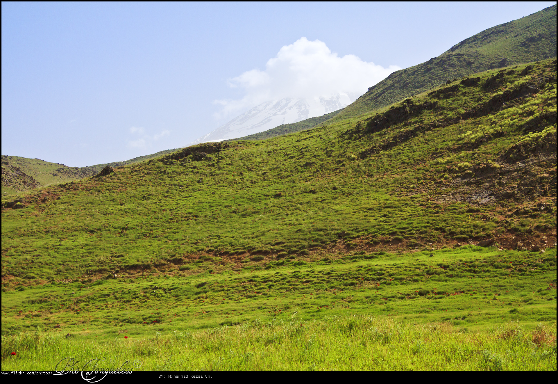
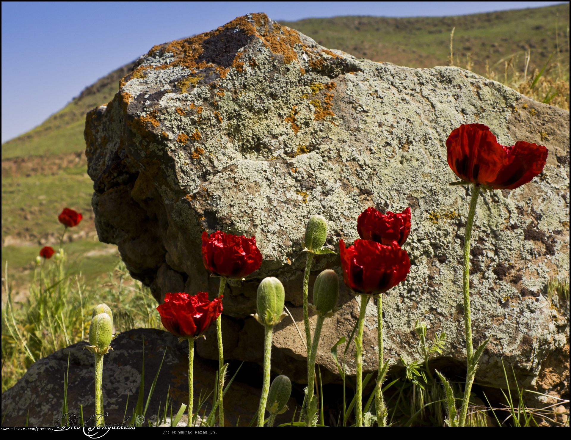
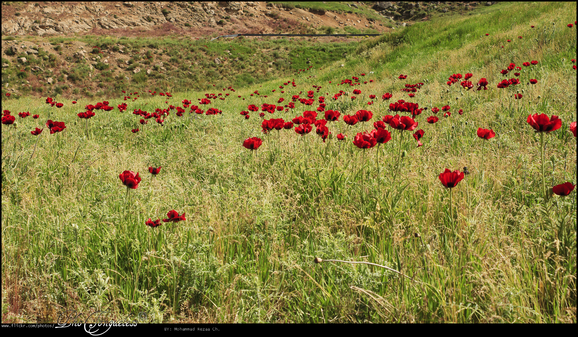
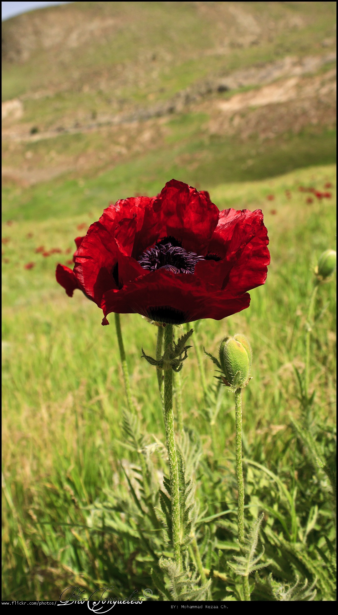
Poppies on the slopes of mount Damavand (5671 m), Iran
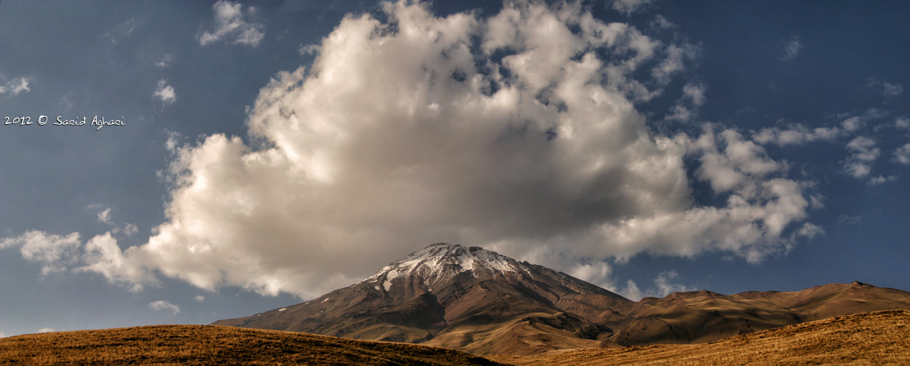
The Roof of Iran
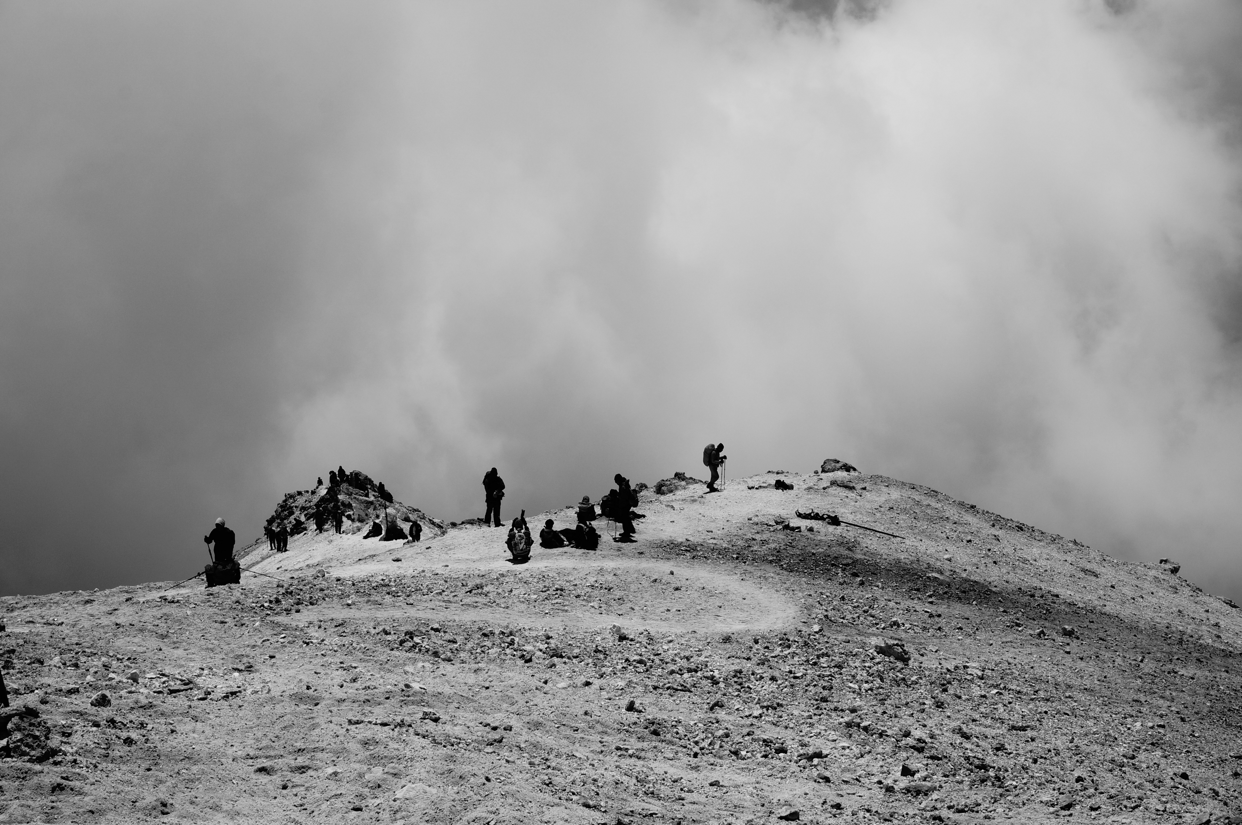
Descending Mt.Damavand,Iran
road side
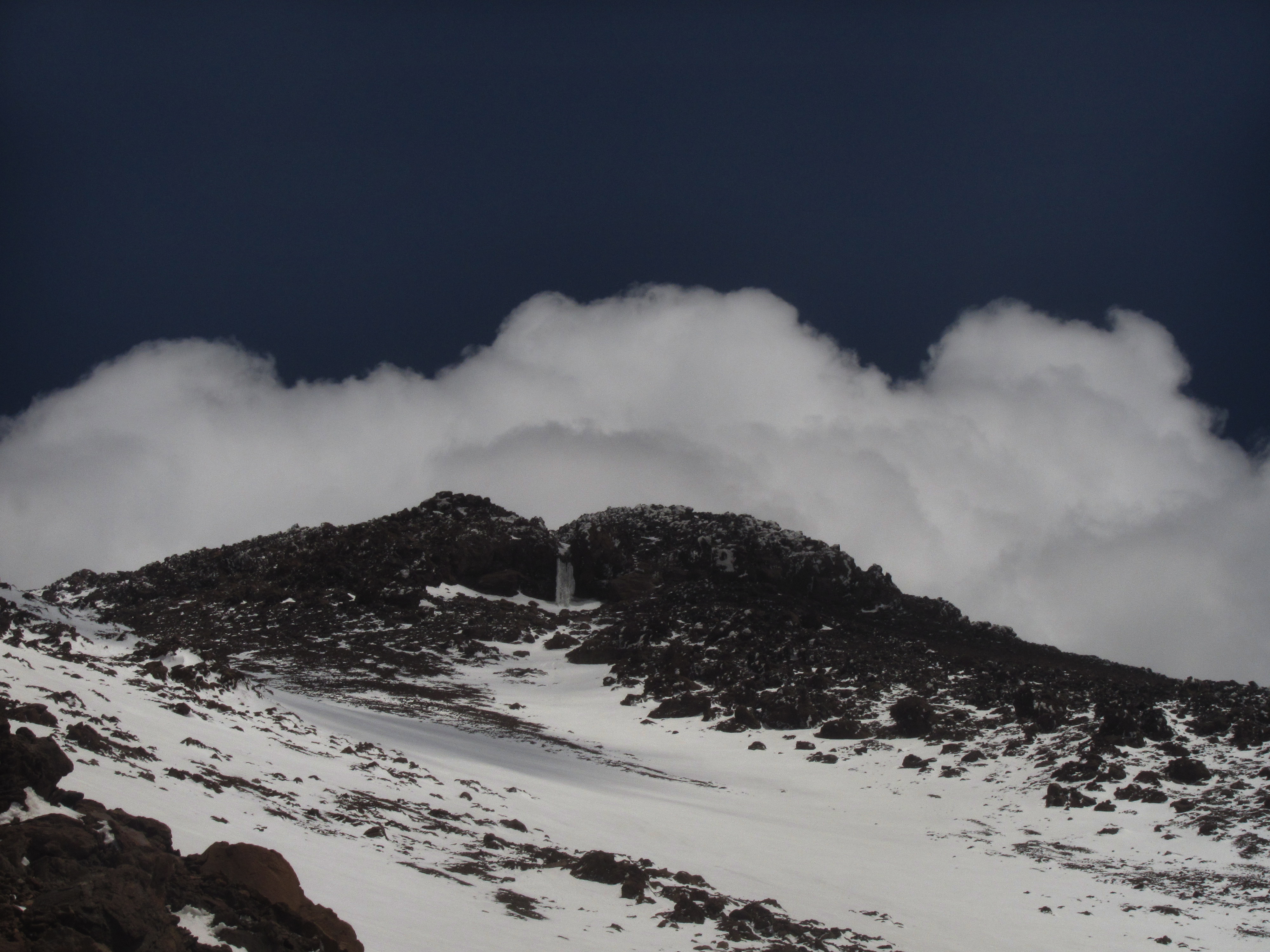
Damavand icefall
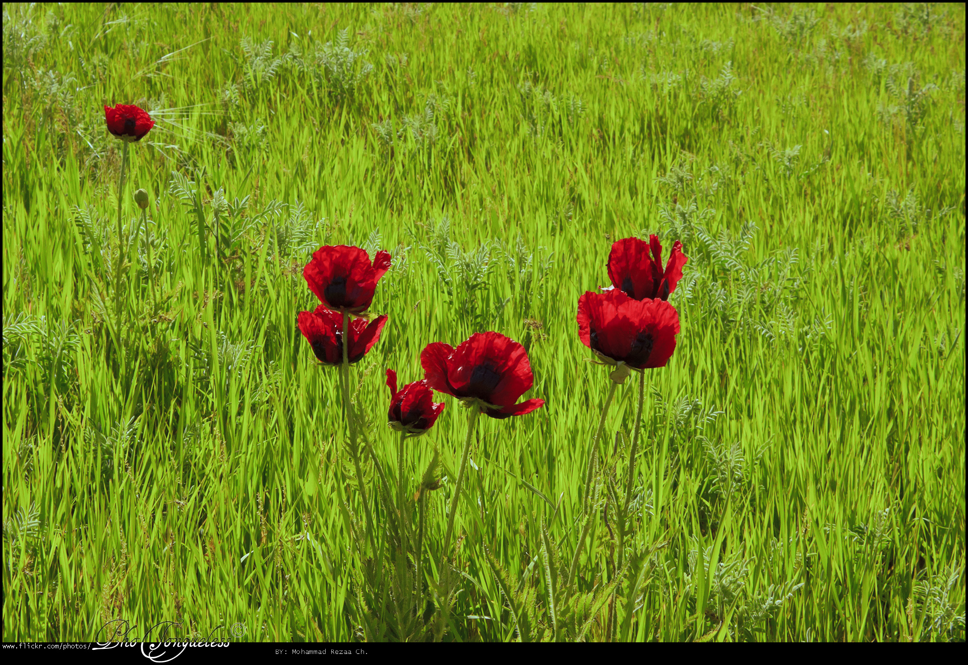
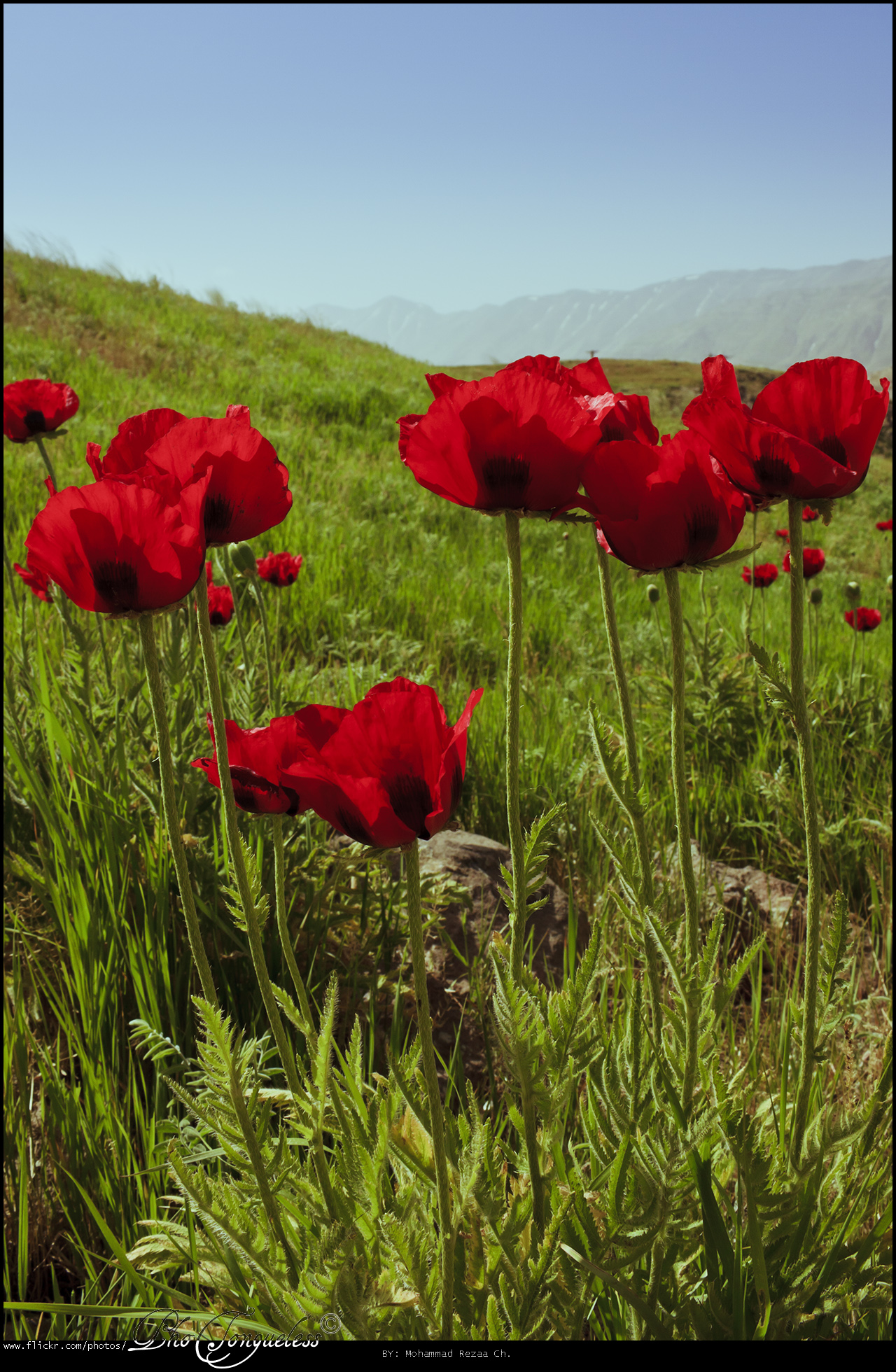
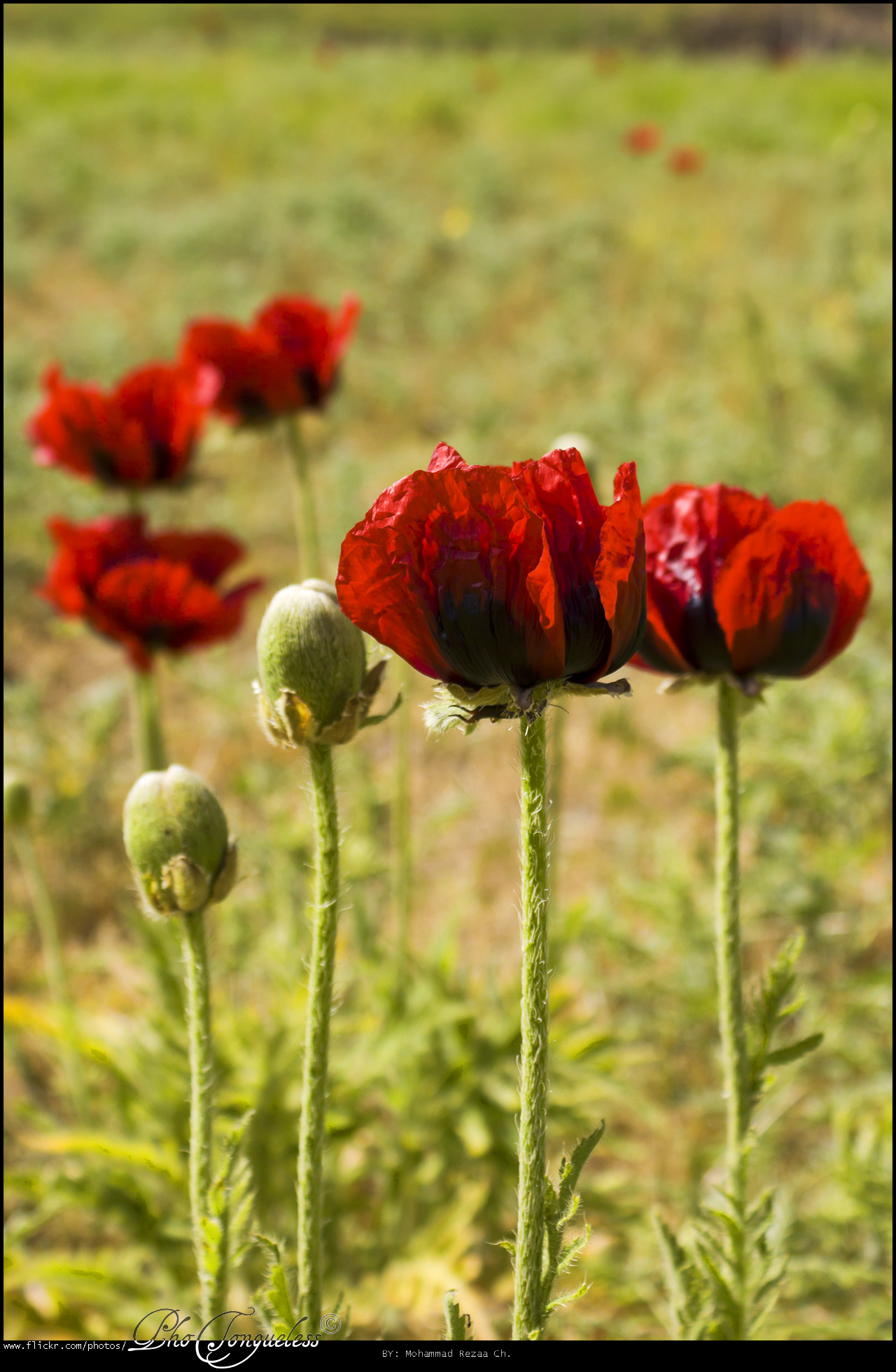
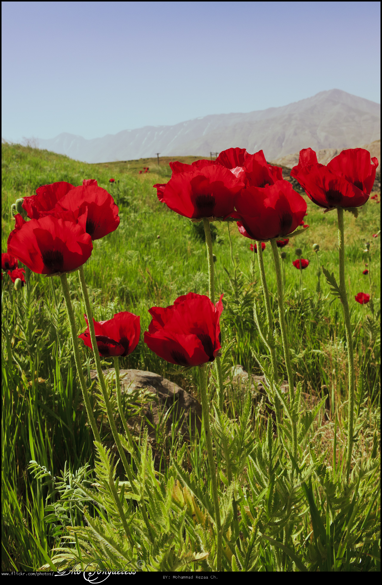
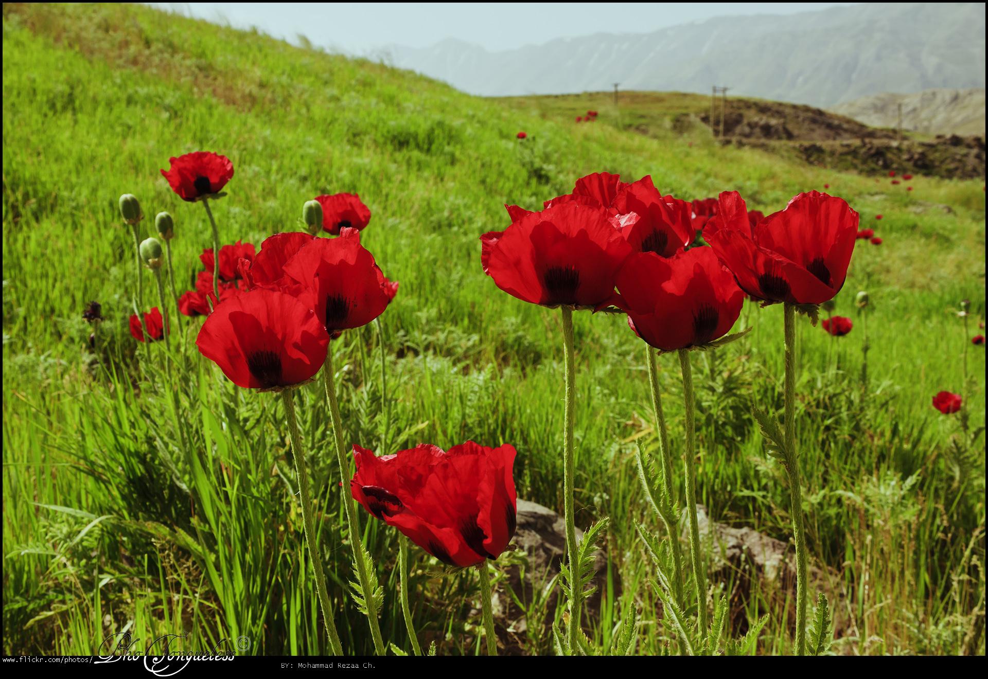
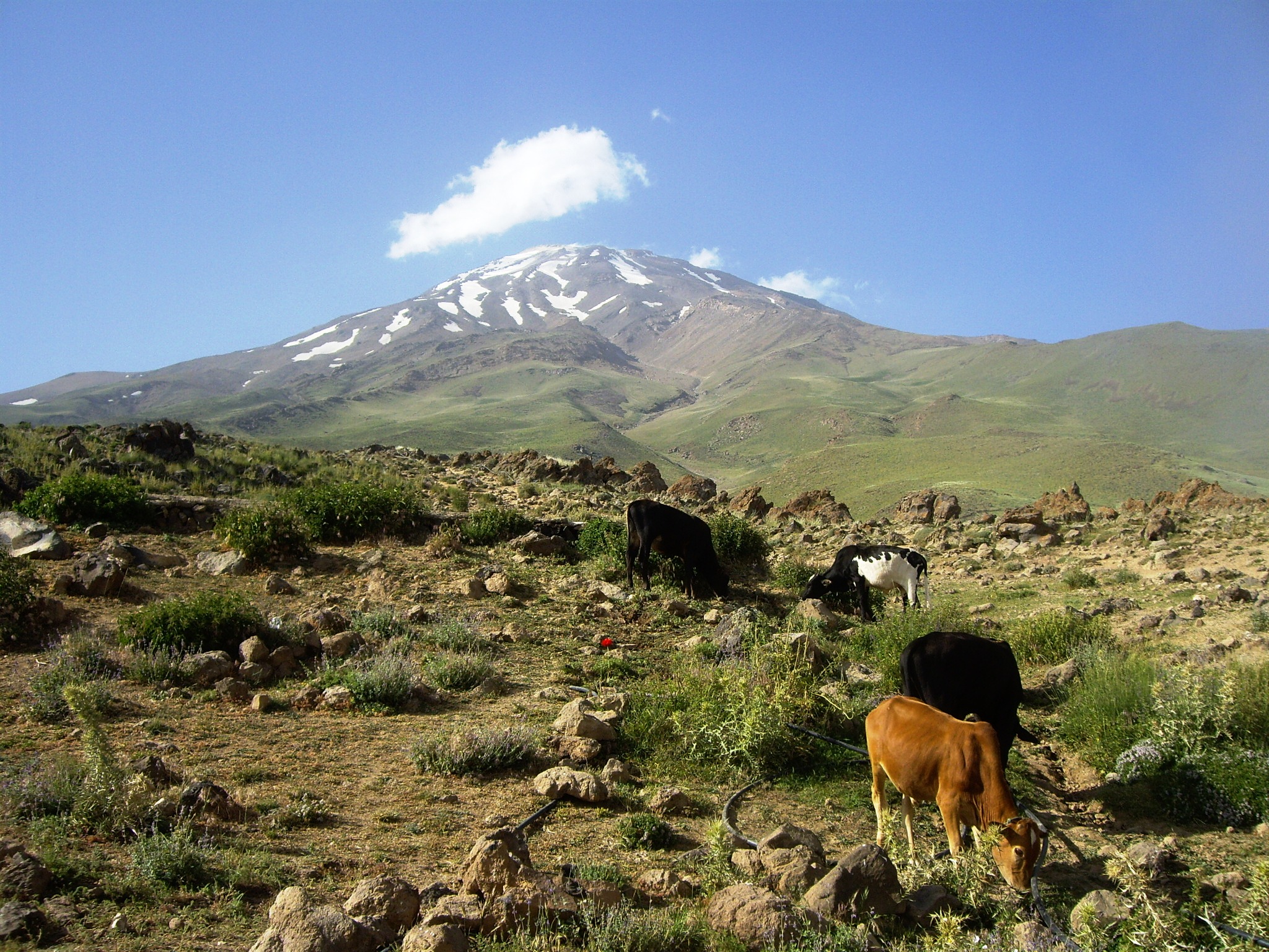
دشت شقایق - Copse Plain
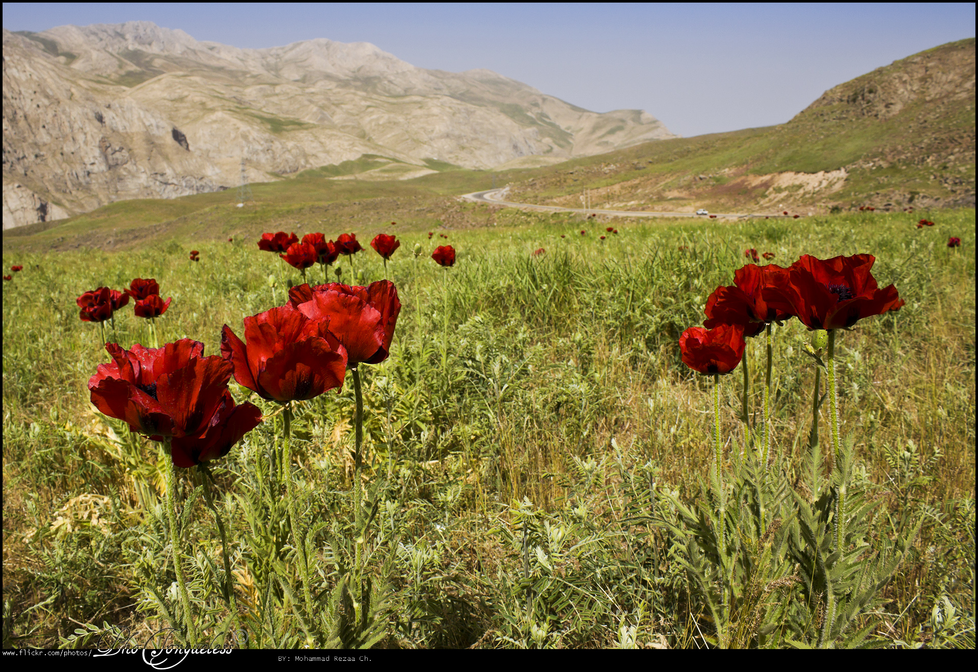
دشت شقایق - Copse Plain
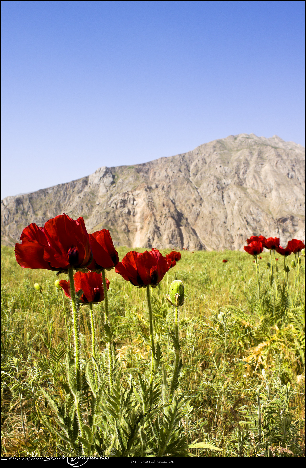
دشت شقایق - Copse Plain
دشت شقایق - Copse Plain
دشت شقایق - Copse Plain
دشت شقایق - Copse Plain
دشت شقایق - Copse Plain
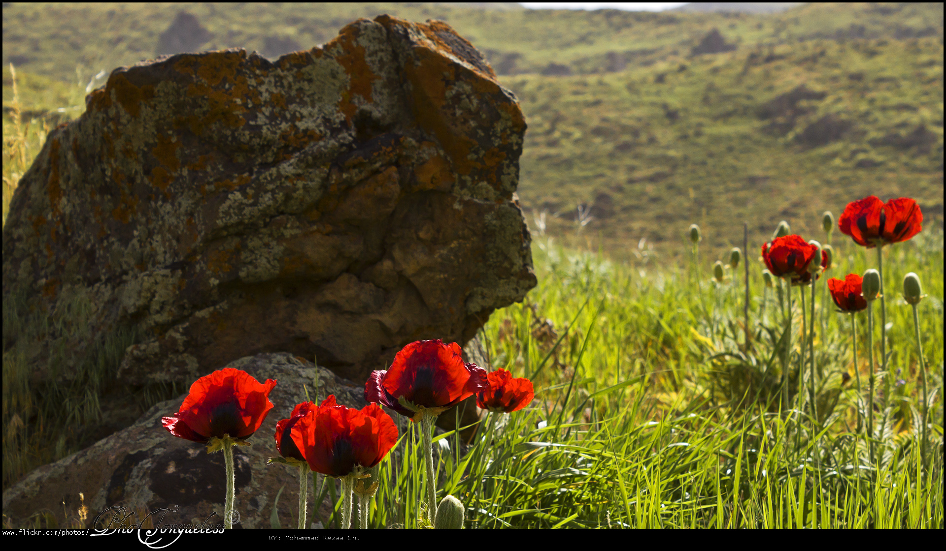
دشت شقایق - Copse Plain
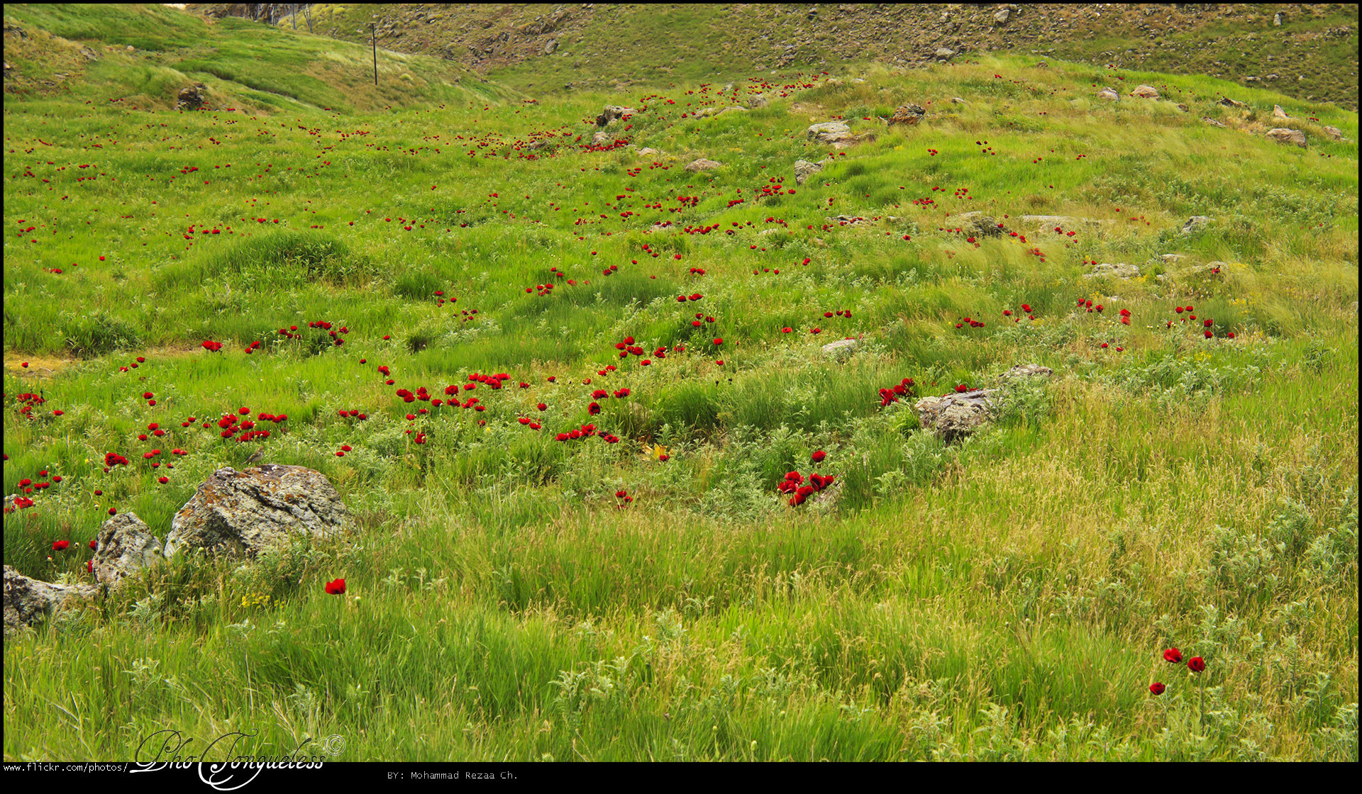
دشت شقایق - Copse Plain
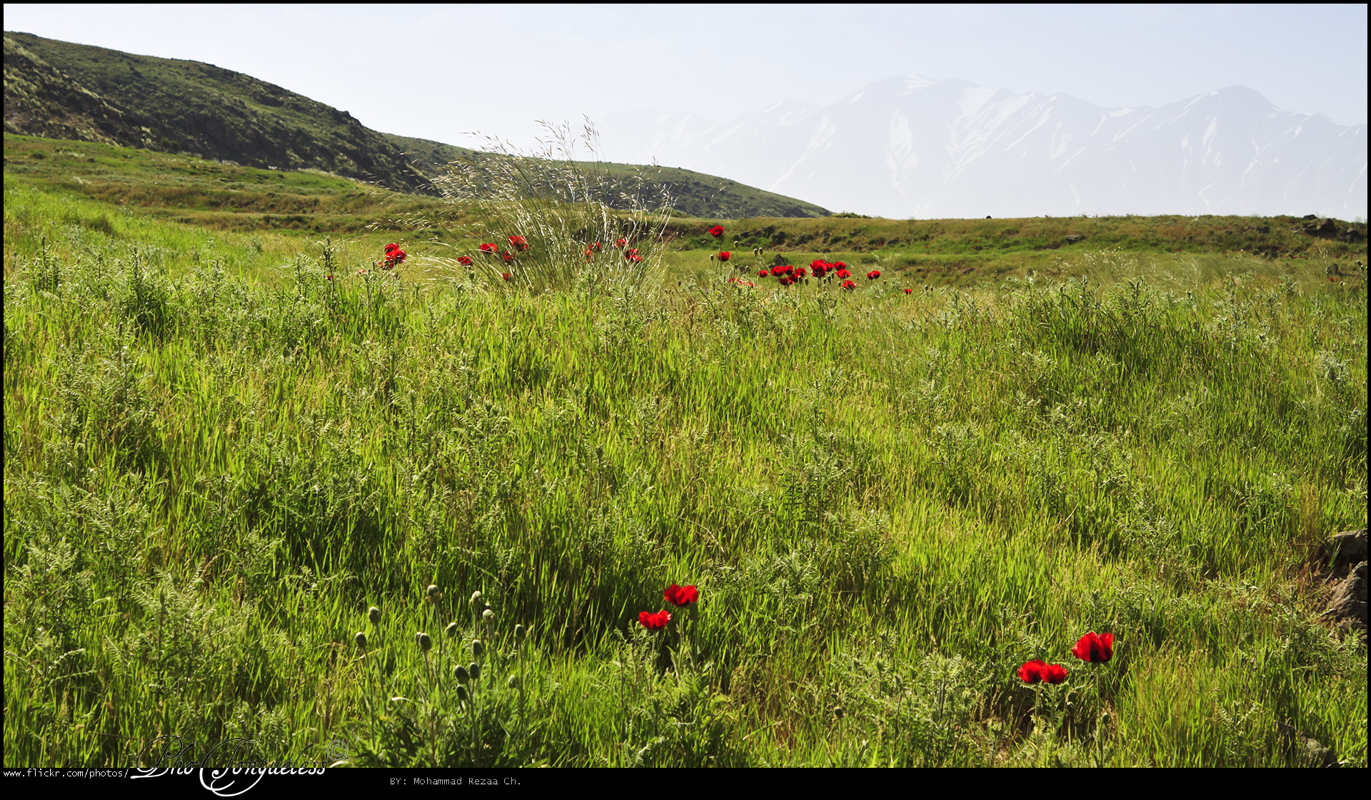
دشت شقایق - Copse Plain
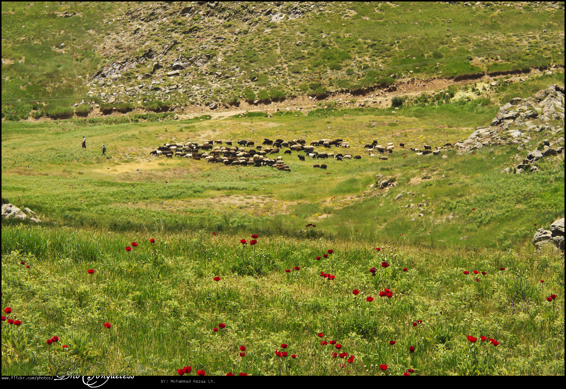
گوسفندان - Sheeps
دشت شقایق - Copse Plain
دشت شقایق - Copse Plain
دشت شقایق - Copse Plain
دشت شقایق - Copse Plain
Damavand from base camp
Topographic Map of Mount Damavand, Iran
Find elevation by address:

Places near Mount Damavand, Iran:
Upper Abgarm Larijan
هتل دماوند
Haraz Road
Haraz Road
آبگرم پایین لاریجان
Nava
Lut
دالان بهشت
روح افزا
Damavand
Gilavand
Absard
Filband Road
Filband
Mazandaran
Hajjiabad, Nur
Amol
Simindasht
کرچک
Firuzkuh
Recent Searches:
- Elevation of Corso Fratelli Cairoli, 35, Macerata MC, Italy
- Elevation of Tallevast Rd, Sarasota, FL, USA
- Elevation of 4th St E, Sonoma, CA, USA
- Elevation of Black Hollow Rd, Pennsdale, PA, USA
- Elevation of Oakland Ave, Williamsport, PA, USA
- Elevation of Pedrógão Grande, Portugal
- Elevation of Klee Dr, Martinsburg, WV, USA
- Elevation of Via Roma, Pieranica CR, Italy
- Elevation of Tavkvetili Mountain, Georgia
- Elevation of Hartfords Bluff Cir, Mt Pleasant, SC, USA