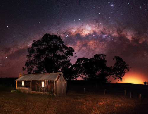
Elevation of Shire of Williams, Williams, WA, Australia
Location: Australia > Western Australia >
Longitude: 116.702495
Latitude: -33.155239
Elevation: 350m / 1148feet
Barometric Pressure: 97KPa
Related Photos:
Topographic Map of Shire of Williams, Williams, WA, Australia
Find elevation by address:

Places in Shire of Williams, Williams, WA, Australia:
Places near Shire of Williams, Williams, WA, Australia:
Quindanning Hotel
Quindanning
Harvey-quindanning Road
Shire Of West Arthur
Boddington
52a Hakea Rd
Shire Of Boddington
Wandering
Shire Of Wandering
Collie
Wellington Dam
Harvey Dam
Harvey
Shire Of Harvey
41 Fourth St
Wellington Forest
Banksiadale
South Dandalup Dam
Mount Cooke
Shire Of Murray
Recent Searches:
- Elevation of Corso Fratelli Cairoli, 35, Macerata MC, Italy
- Elevation of Tallevast Rd, Sarasota, FL, USA
- Elevation of 4th St E, Sonoma, CA, USA
- Elevation of Black Hollow Rd, Pennsdale, PA, USA
- Elevation of Oakland Ave, Williamsport, PA, USA
- Elevation of Pedrógão Grande, Portugal
- Elevation of Klee Dr, Martinsburg, WV, USA
- Elevation of Via Roma, Pieranica CR, Italy
- Elevation of Tavkvetili Mountain, Georgia
- Elevation of Hartfords Bluff Cir, Mt Pleasant, SC, USA


