Elevation of Mount Cooke, WA, Australia
Location: Australia > Western Australia >
Longitude: 116.307777
Latitude: -32.414166
Elevation: 568m / 1864feet
Barometric Pressure: 95KPa
Elevation Map:
Satellite Map:
Related Photos:
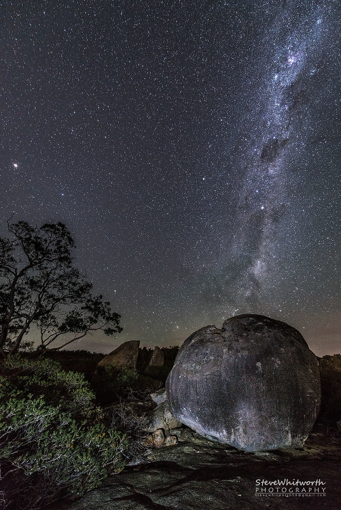
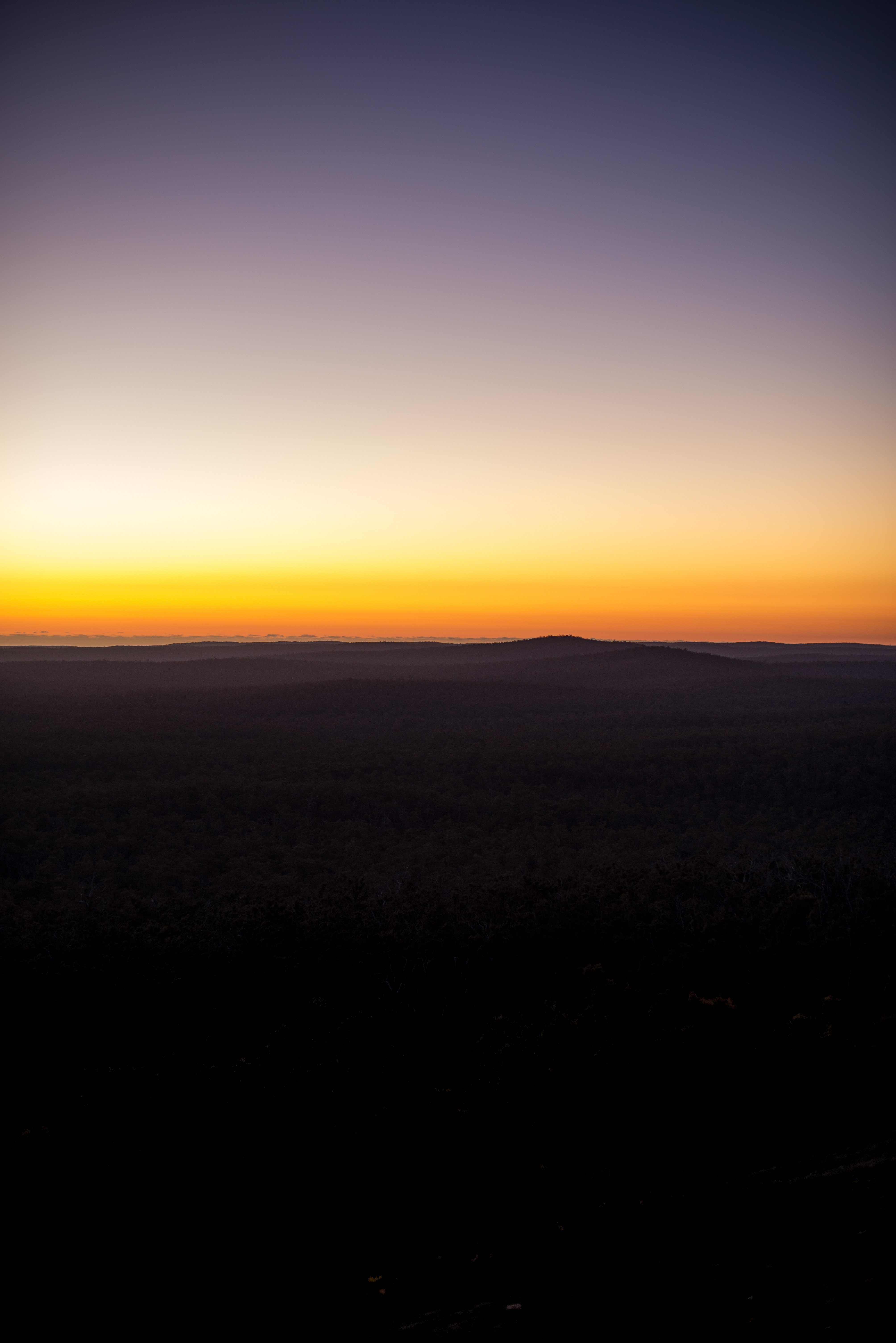
Jarrahdale State Forest night-sky
Mt Solus

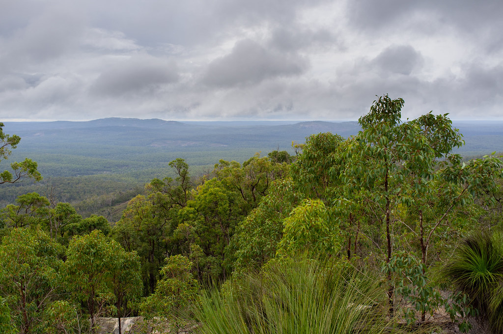
View from slopes of Mt. Vincent

View from Mt. Vincent

Views from Mt. Cuthbert

Views from summit of Mt. Cuthbert

Mt. Cuthbert views

Views from Mt. Cuthbert

View to Mt. Randall from Mt. Cuthbert

The Other Side - back end of the Milky Way over Sullivan's Rock, Western Australia
Dragons Breath
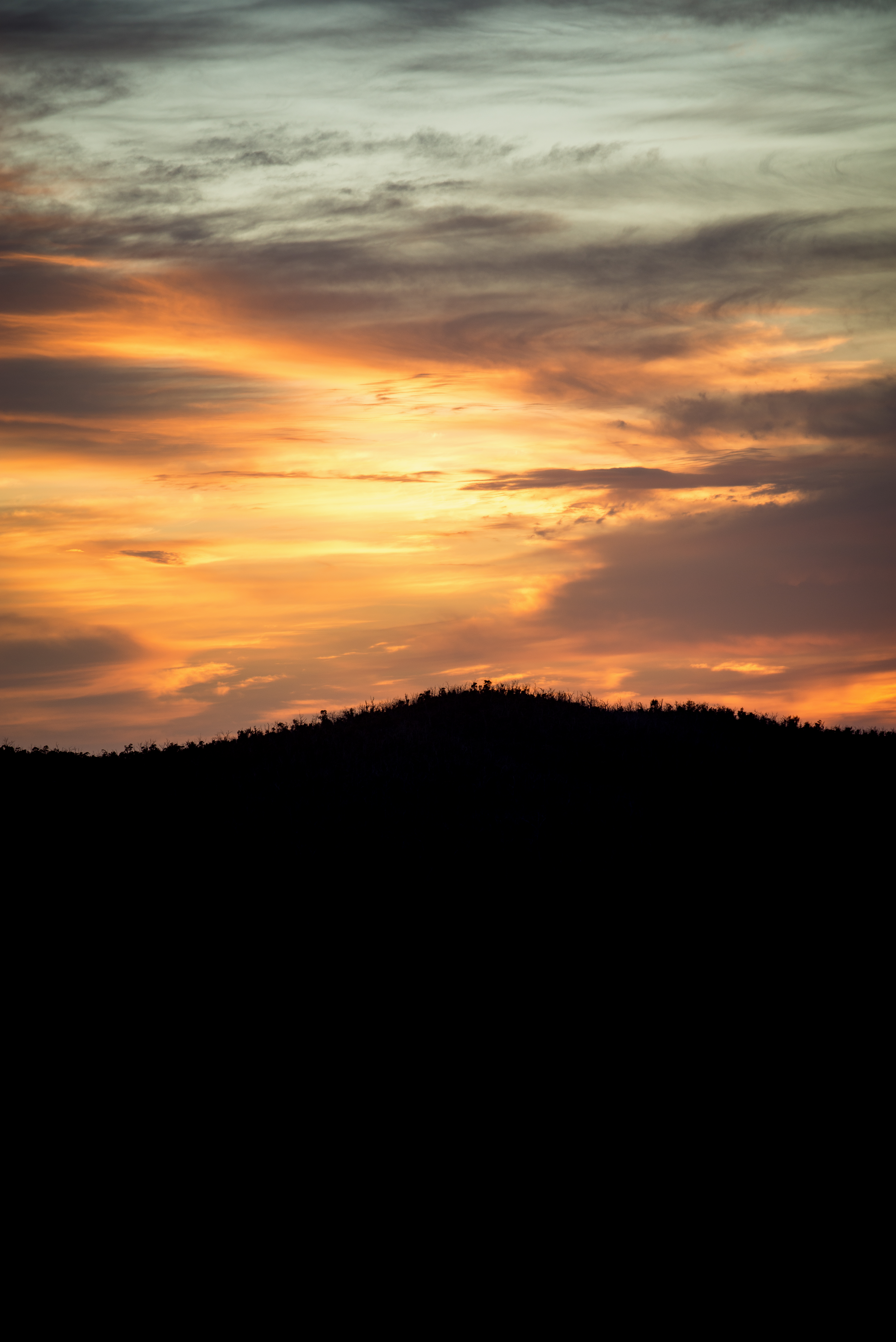
Skies on Fire
Horizon Glow

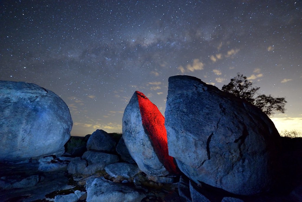
Sullivan's Rock

Mt. Vincent granite slopes

Mt. Vincent granite outcrops

Mt. Vincent granite slopes

Mt. Vincent granite slopes

Off the summit of Mt. Vincent, exposed granite plate

Granite outcrops on Mt. Vincent

Granite outcrops on Mt. Vincent

Mt. Vincent cairn marking the track

Ascending Mt. Vincent

Outcrops on the slopes of Mt. Cuthbert

Edge of the exposed granite summit of Mt. Cuthbert

Granite outcrops on Mt. Cuthbert

Cairn on Mt. Cuthbert
Topographic Map of Mount Cooke, WA, Australia
Find elevation by address:

Places near Mount Cooke, WA, Australia:
Serpentine Dam
Banksiadale
North Dandalup Dam
Shire Of Serpentine-jarrahdale
Whittaker
South Dandalup Dam
Boddington
52a Hakea Rd
Shire Of Murray
Wandering
South Dandalup River
Nambeelup
Shire Of Wandering
Murrayfield Aerodrome
Shire Of Boddington
4 Hearth Way
Ravenswood
Secret Harbour
Port Kennedy
Harvey-quindanning Road
Recent Searches:
- Elevation of Corso Fratelli Cairoli, 35, Macerata MC, Italy
- Elevation of Tallevast Rd, Sarasota, FL, USA
- Elevation of 4th St E, Sonoma, CA, USA
- Elevation of Black Hollow Rd, Pennsdale, PA, USA
- Elevation of Oakland Ave, Williamsport, PA, USA
- Elevation of Pedrógão Grande, Portugal
- Elevation of Klee Dr, Martinsburg, WV, USA
- Elevation of Via Roma, Pieranica CR, Italy
- Elevation of Tavkvetili Mountain, Georgia
- Elevation of Hartfords Bluff Cir, Mt Pleasant, SC, USA