Elevation of Shire of Murray, Murray, WA, Australia
Location: Australia > Western Australia >
Longitude: 115.946799
Latitude: -32.654891
Elevation: 48m / 157feet
Barometric Pressure: 101KPa
Elevation Map:
Satellite Map:
Related Photos:

G 50 Hotham Valley Railway, Pinjarra 23/10/2015

W 947 Hotham Valley Railway at Pinjarra 2015 10 23

Pm 706 "Narrogin" Hotham Valley Railway at Pinjarra 2015 10 23

Fairbridge Chapel
Fairbridge Chapel

Going nowhere

Armagomphus armiger male wings
Marrinup Falls near Dwellingup.

Marrinup Falls near Dwellingup.
Milky Way at South Dandalup Dam, Western Australia

Let It Rain

Milk Way rising over Dwellingup Hills

Marrinup Falls near Dwellingup.
On my way to Brunswick WA for new job interview at train !!!!

Ghost town Street

Lower Marrinup Falls

Dwellingup Forest Lodge

Dwellingup WA

Upper Marrinup Falls
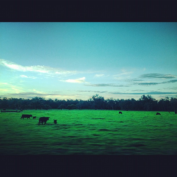
Cow field

Fields of yellow

Interesting tree by cows in flooded field. 2018

The old and the new. 2018

Bibbulmun - June 2010

Farmland fire

Bibbulmun - June 2010
Bibbulmun - June 2010

Bibbulmun - June 2010
Topographic Map of Shire of Murray, Murray, WA, Australia
Find elevation by address:

Places in Shire of Murray, Murray, WA, Australia:
Places near Shire of Murray, Murray, WA, Australia:
South Dandalup Dam
South Dandalup River
Whittaker
Ravenswood
North Dandalup Dam
Banksiadale
Nambeelup
Murrayfield Aerodrome
Serpentine Dam
Shire Of Serpentine-jarrahdale
Secret Harbour
4 Hearth Way
Port Kennedy
Harvey Dam
41 Fourth St
Harvey
Mount Cooke
Shire Of Boddington
Shire Of Harvey
52a Hakea Rd
Recent Searches:
- Elevation of Corso Fratelli Cairoli, 35, Macerata MC, Italy
- Elevation of Tallevast Rd, Sarasota, FL, USA
- Elevation of 4th St E, Sonoma, CA, USA
- Elevation of Black Hollow Rd, Pennsdale, PA, USA
- Elevation of Oakland Ave, Williamsport, PA, USA
- Elevation of Pedrógão Grande, Portugal
- Elevation of Klee Dr, Martinsburg, WV, USA
- Elevation of Via Roma, Pieranica CR, Italy
- Elevation of Tavkvetili Mountain, Georgia
- Elevation of Hartfords Bluff Cir, Mt Pleasant, SC, USA