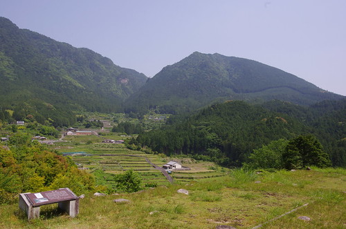
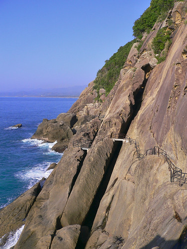
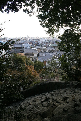
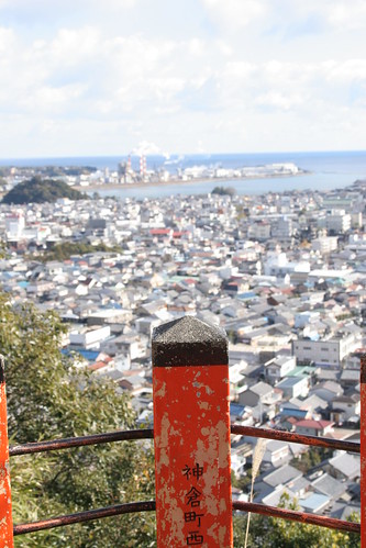
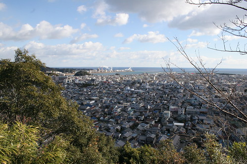
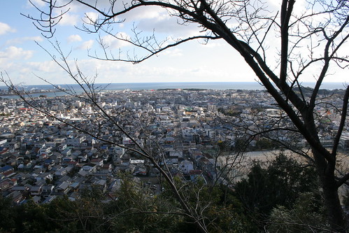
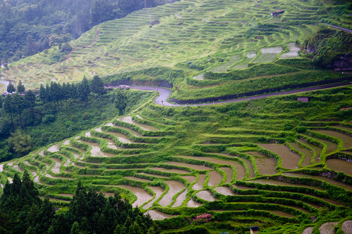
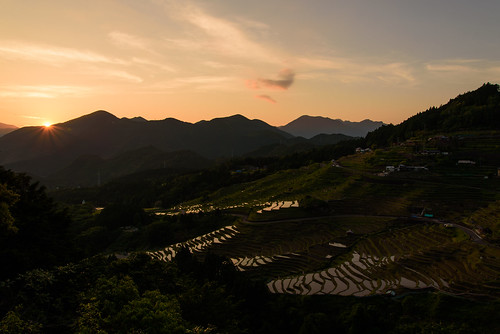
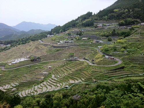
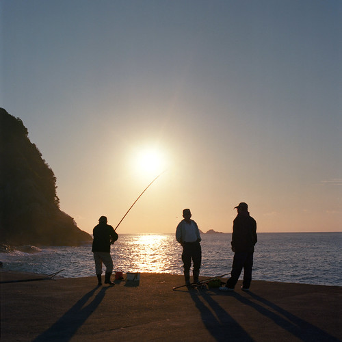
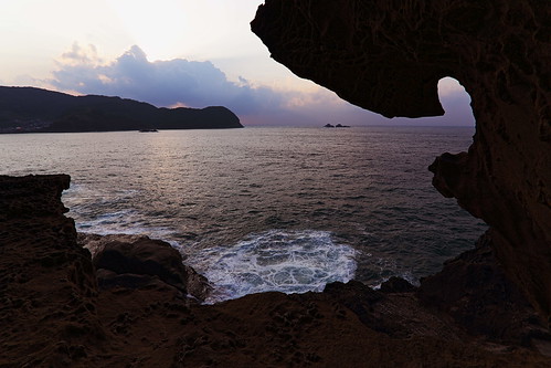
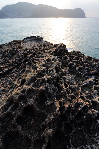
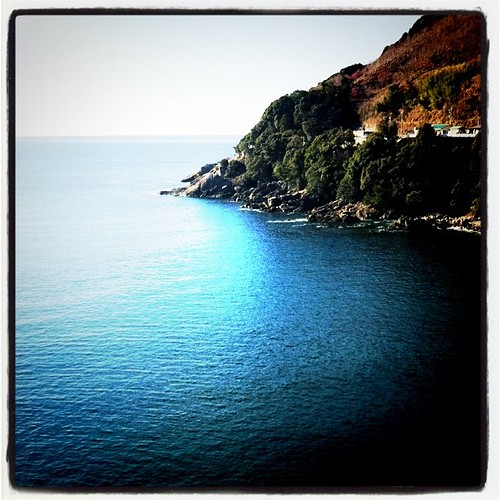
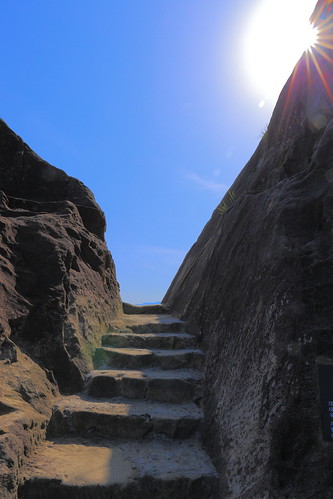
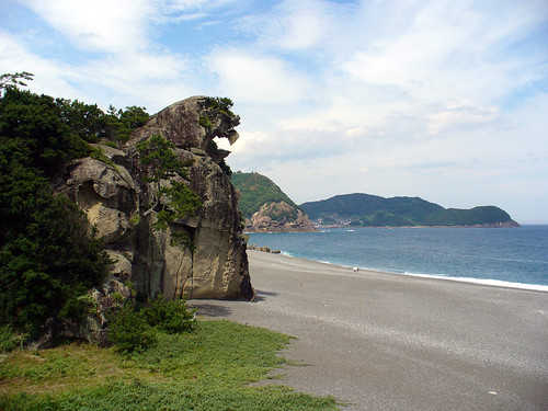
Elevation of Shimoichigi, Mihama-chō, Minamimuro-gun, Mie-ken -, Japan
Location: Japan > Mie Prefecture > Minamimuro District > Mihama >
Longitude: 136.055551
Latitude: 33.8332898
Elevation: 14m / 46feet
Barometric Pressure: 101KPa
Related Photos:
Topographic Map of Shimoichigi, Mihama-chō, Minamimuro-gun, Mie-ken -, Japan
Find elevation by address:

Places near Shimoichigi, Mihama-chō, Minamimuro-gun, Mie-ken -, Japan:
Mihama
Atawa, Mihama-chō, Minamimuro-gun, Mie-ken -, Japan
Minamimuro District
Kumano
Sakamatsubara, Kihō-chō, Minamimuro-gun, Mie-ken -, Japan
Asukachō Kozaka, Kumano-shi, Mie-ken -, Japan
Kitayama
41 Ōnuma, Kitayama-mura, Higashimuro-gun, Wakayama-ken -, Japan
Atashikachō, Kumano-shi, Mie-ken -, Japan
Isatochō Teradani, Kumano-shi, Mie-ken -, Japan
Taketō, Totsukawa-mura, Yoshino-gun, Nara-ken -, Japan
86 Kōka, Totsukawa-mura, Yoshino-gun, Nara-ken -, Japan
Tamaigawa, Totsukawa-mura, Yoshino-gun, Nara-ken -, Japan
Kumanogawachō Kaminagai, Shingū-shi, Wakayama-ken -, Japan
Kamikuzugawa, Totsukawa-mura, Yoshino-gun, Nara-ken -, Japan
Higashinaka, Totsukawa-mura, Yoshino-gun, Nara-ken -, Japan
Ogawa, Totsukawa-mura, Yoshino-gun, Nara-ken -, Japan
Ōno, Totsukawa-mura, Yoshino-gun, Nara-ken -, Japan
Owase
73 Takataki, Totsukawa-mura, Yoshino-gun, Nara-ken -, Japan
Recent Searches:
- Elevation of Corso Fratelli Cairoli, 35, Macerata MC, Italy
- Elevation of Tallevast Rd, Sarasota, FL, USA
- Elevation of 4th St E, Sonoma, CA, USA
- Elevation of Black Hollow Rd, Pennsdale, PA, USA
- Elevation of Oakland Ave, Williamsport, PA, USA
- Elevation of Pedrógão Grande, Portugal
- Elevation of Klee Dr, Martinsburg, WV, USA
- Elevation of Via Roma, Pieranica CR, Italy
- Elevation of Tavkvetili Mountain, Georgia
- Elevation of Hartfords Bluff Cir, Mt Pleasant, SC, USA
