Elevation of Kamikuzugawa, Totsukawa-mura, Yoshino-gun, Nara-ken -, Japan
Location: Japan > Nara Prefecture > Yoshino District > Totsukawa >
Longitude: 135.867594
Latitude: 33.9630299
Elevation: 522m / 1713feet
Barometric Pressure: 95KPa
Elevation Map:
Satellite Map:
Related Photos:
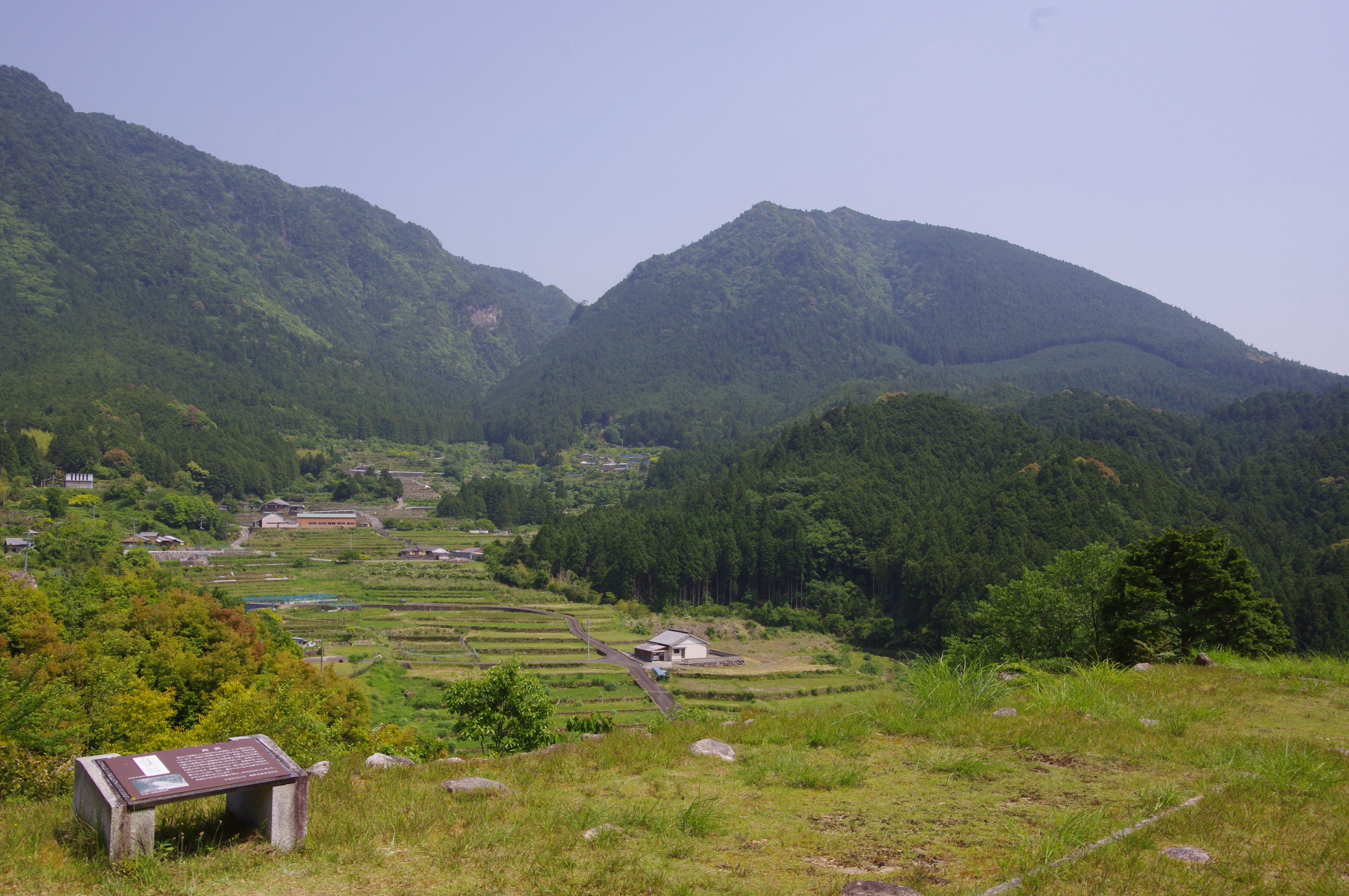
赤木城址からの眺望
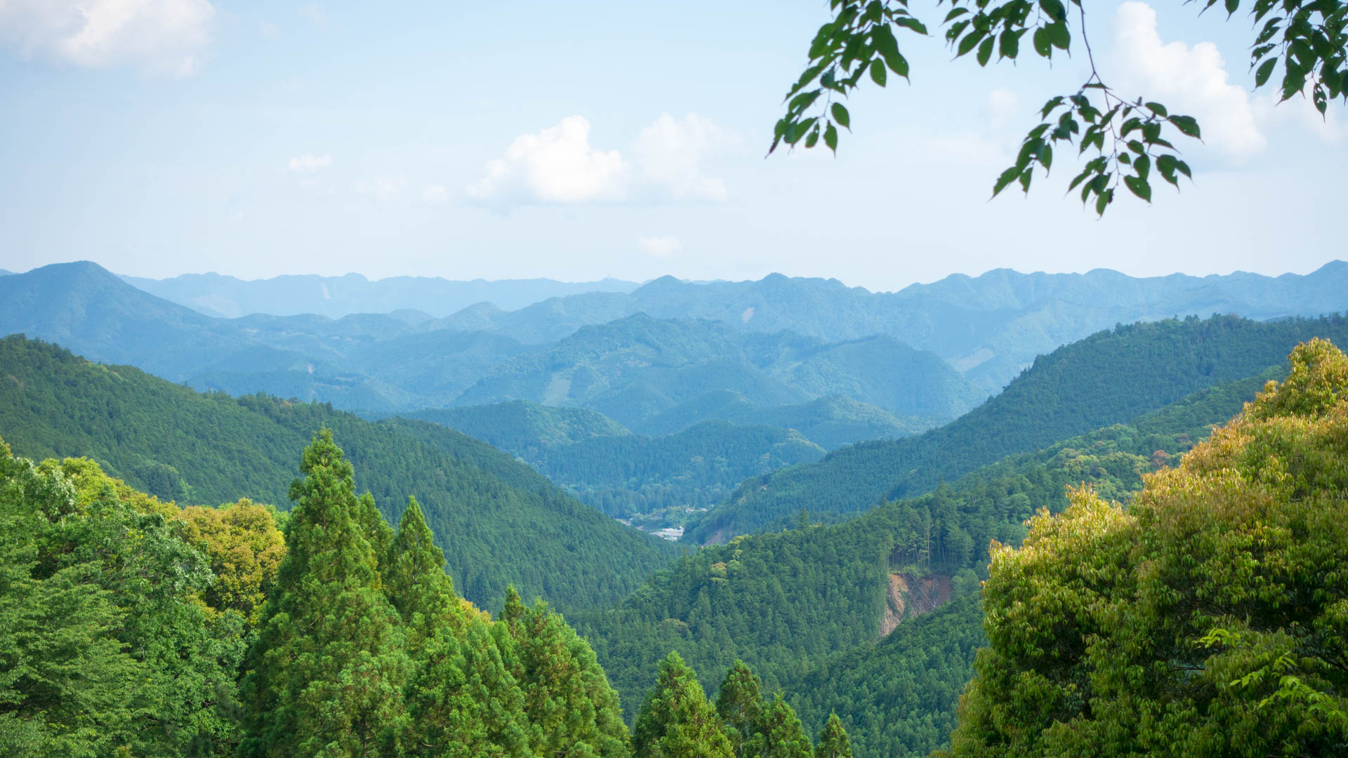
Hongu view
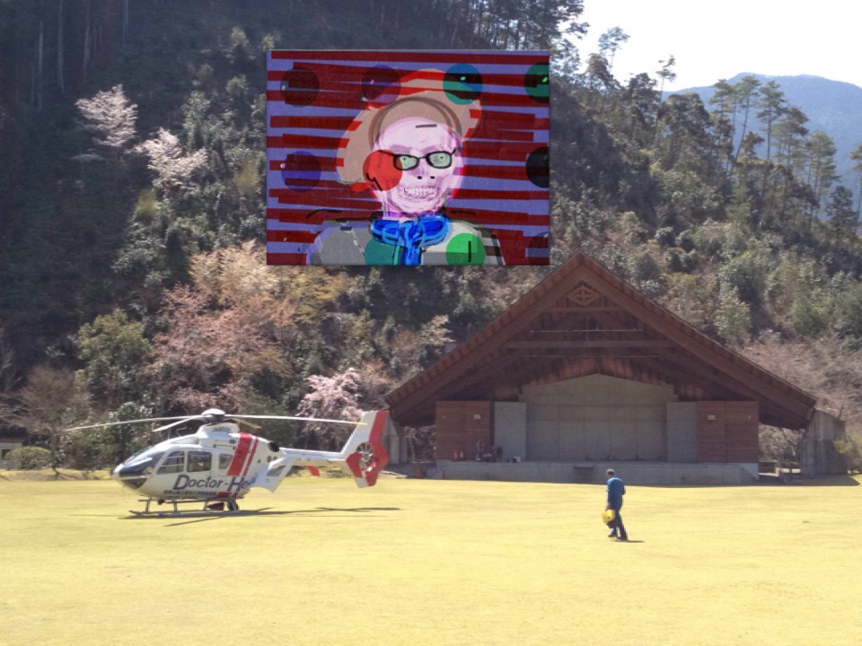
View of "Self portrait" - Saturday, 28 March 2015 - 11:11 GMT+0900

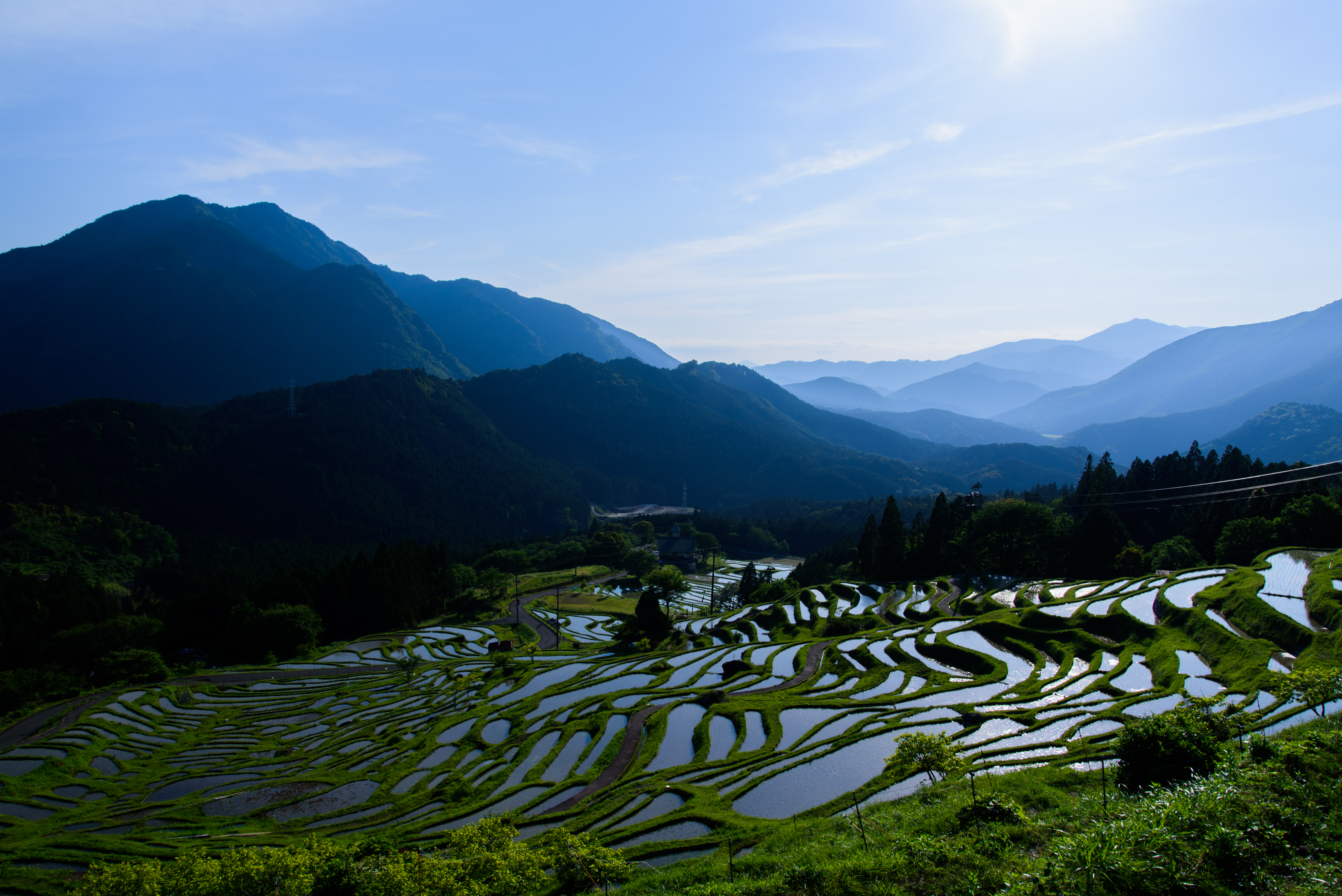
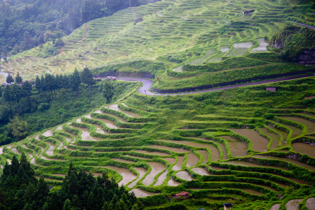
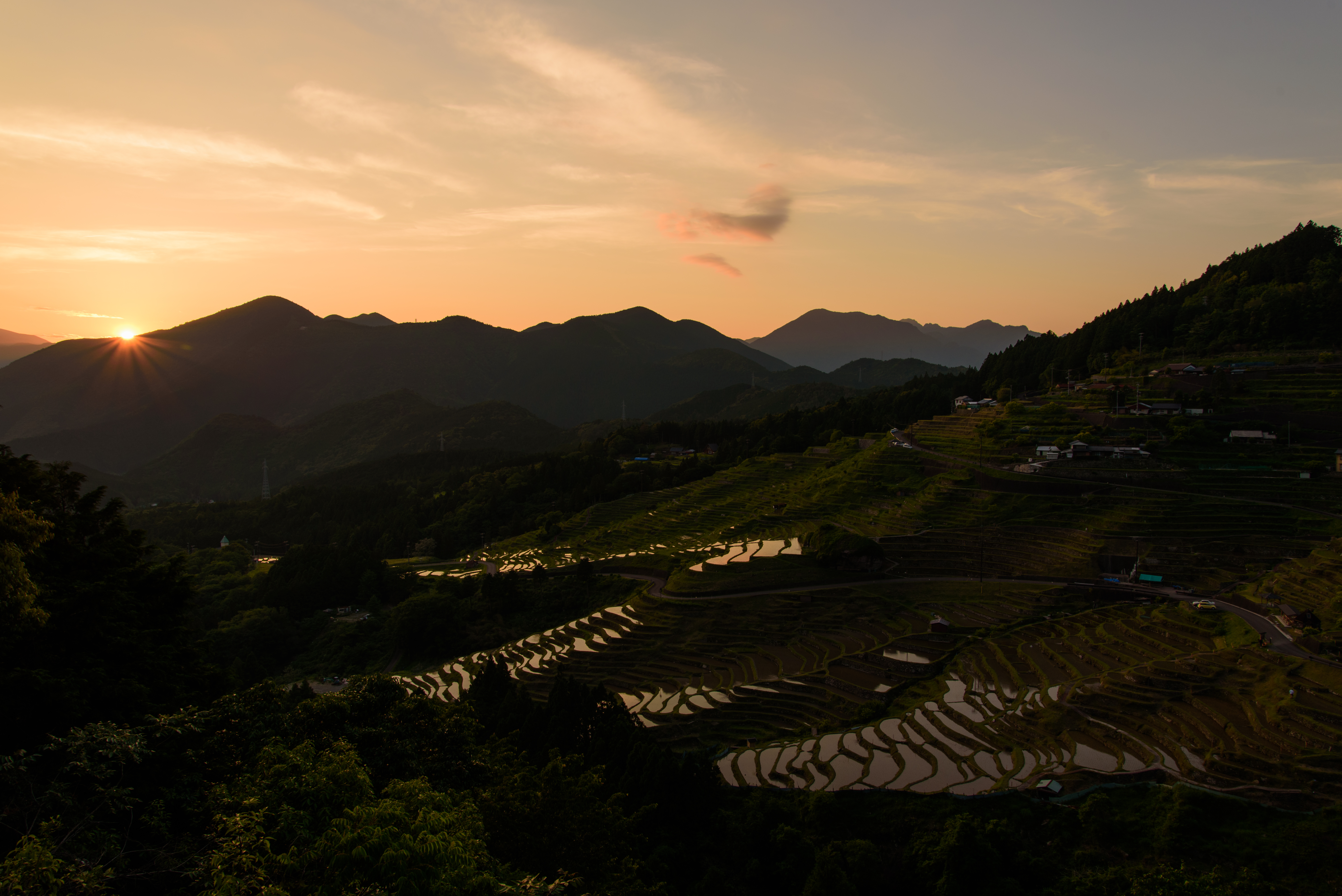
Traditional Japanese rice terraces and Windmill palms (Trachycarpus fortunei), Maruyama, Kumano

Traditional Japanese rice paddy terraces, Maruyama, Kumano

少し離れた展望台からの棚田

Hiking over the Kumano Kodō
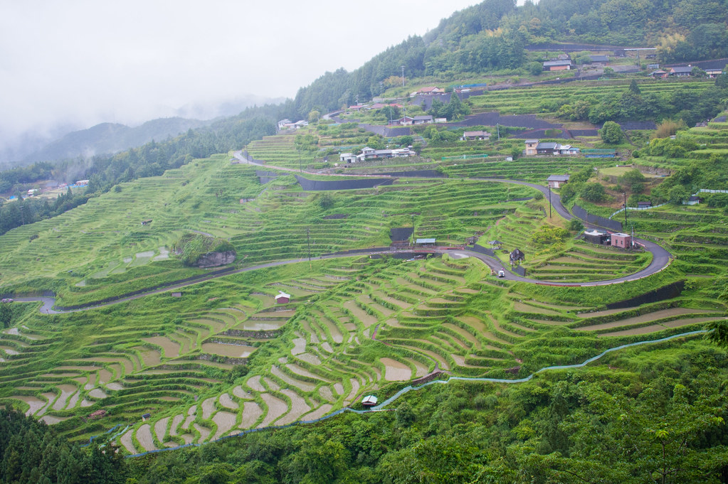
丸山千枚田6・Rice Field of Maruyama

少し下りました

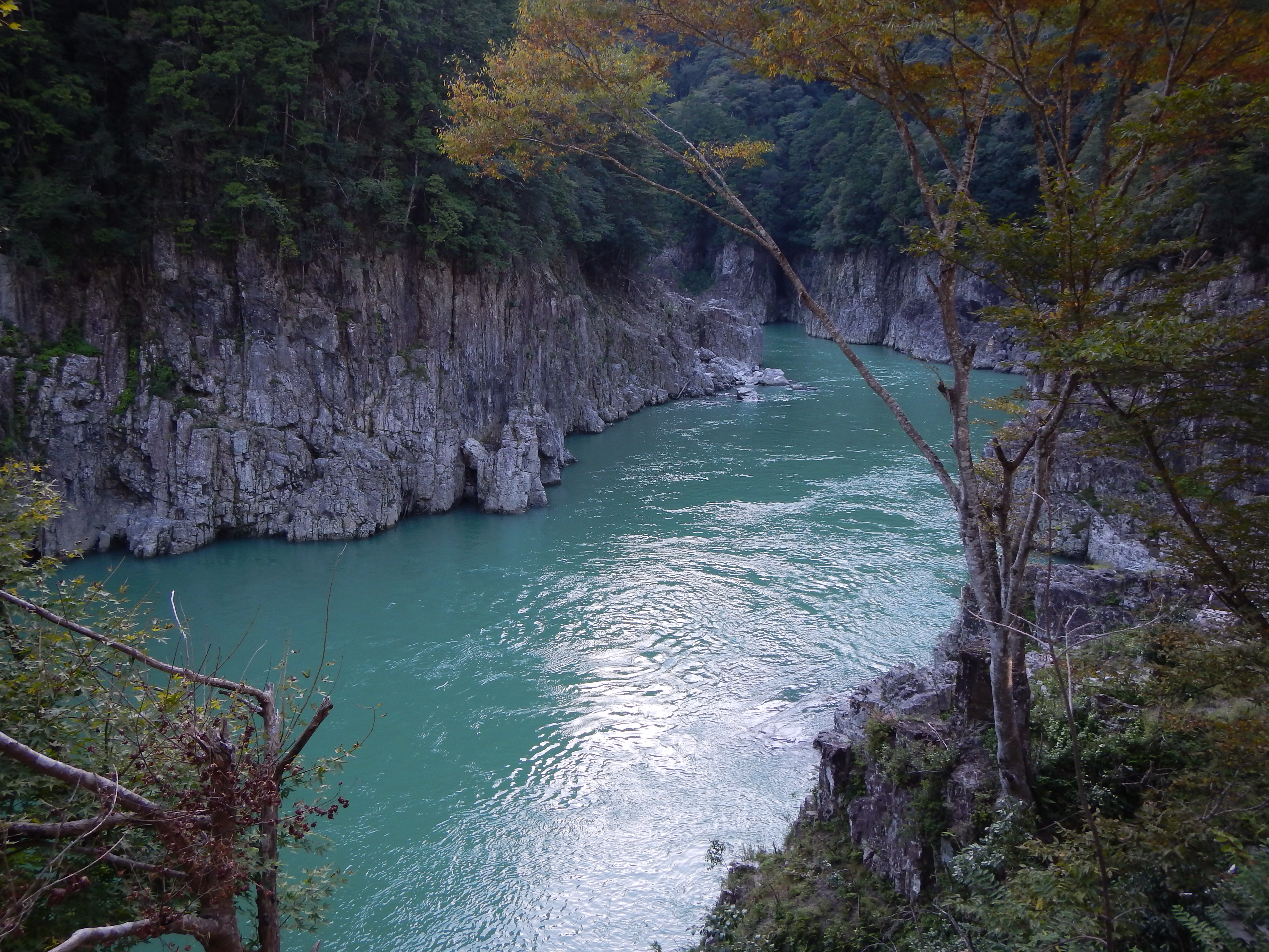
Paddling into the beauty of Yoshino-Kumano National Park, Mie, Japan

棚田

Kayaking on clear waters of volcanic river gorge, Kumano

全景

棚田を見上げた
一目千枚

大エビですな

すべての写真-1620
Rice Terraces of the rainy day

戻ってきたら青空も・・・
Kumano Kodo Pilgrimage Trails
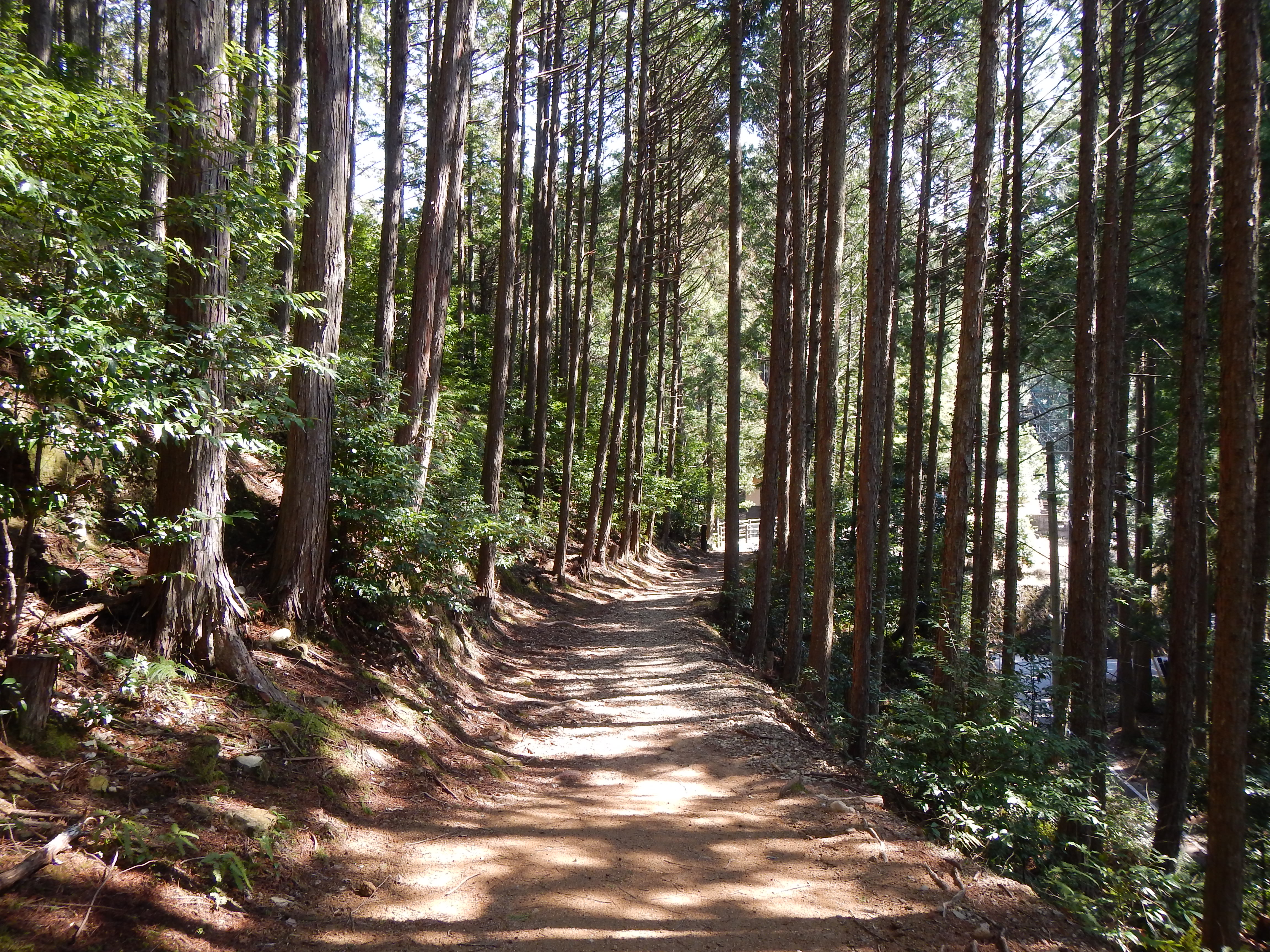
kumano kodo
丸山千枚田36・Rice Field of Maruyama

Hiking over the Kumano Kodō

Hiking over the Kumano Kodō
Topographic Map of Kamikuzugawa, Totsukawa-mura, Yoshino-gun, Nara-ken -, Japan
Find elevation by address:

Places near Kamikuzugawa, Totsukawa-mura, Yoshino-gun, Nara-ken -, Japan:
Higashinaka, Totsukawa-mura, Yoshino-gun, Nara-ken -, Japan
Ogawa, Totsukawa-mura, Yoshino-gun, Nara-ken -, Japan
86 Kōka, Totsukawa-mura, Yoshino-gun, Nara-ken -, Japan
Ōno, Totsukawa-mura, Yoshino-gun, Nara-ken -, Japan
73 Takataki, Totsukawa-mura, Yoshino-gun, Nara-ken -, Japan
Musashi, Totsukawa-mura, Yoshino-gun, Nara-ken -, Japan
Oritachi, Totsukawa-mura, Yoshino-gun, Nara-ken -, Japan
Yamatedani, Totsukawa-mura, Yoshino-gun, Nara-ken -, Japan
Totsukawa
Kashihara, Totsukawa-mura, Yoshino-gun, Nara-ken -, Japan
Yunohara, Totsukawa-mura, Yoshino-gun, Nara-ken -, Japan
88 Koi, Totsukawa-mura, Yoshino-gun, Nara-ken -, Japan
-2 Hiradani, Totsukawa-mura, Yoshino-gun, Nara-ken -, Japan
Ikeana, Totsukawa-mura, Yoshino-gun, Nara-ken -, Japan
Yamate, Totsukawa-mura, Yoshino-gun, Nara-ken -, Japan
Tanigaito, Totsukawa-mura, Yoshino-gun, Nara-ken -, Japan
Kitayama
41 Ōnuma, Kitayama-mura, Higashimuro-gun, Wakayama-ken -, Japan
Nojiri, Totsukawa-mura, Yoshino-gun, Nara-ken -, Japan
Naihara, Totsukawa-mura, Yoshino-gun, Nara-ken -, Japan
Recent Searches:
- Elevation of Corso Fratelli Cairoli, 35, Macerata MC, Italy
- Elevation of Tallevast Rd, Sarasota, FL, USA
- Elevation of 4th St E, Sonoma, CA, USA
- Elevation of Black Hollow Rd, Pennsdale, PA, USA
- Elevation of Oakland Ave, Williamsport, PA, USA
- Elevation of Pedrógão Grande, Portugal
- Elevation of Klee Dr, Martinsburg, WV, USA
- Elevation of Via Roma, Pieranica CR, Italy
- Elevation of Tavkvetili Mountain, Georgia
- Elevation of Hartfords Bluff Cir, Mt Pleasant, SC, USA