Elevation of Musashi, Totsukawa-mura, Yoshino-gun, Nara-ken -, Japan
Location: Japan > Nara Prefecture > Yoshino District > Totsukawa >
Longitude: 135.811122
Latitude: 33.9933702
Elevation: 368m / 1207feet
Barometric Pressure: 97KPa
Elevation Map:
Satellite Map:
Related Photos:
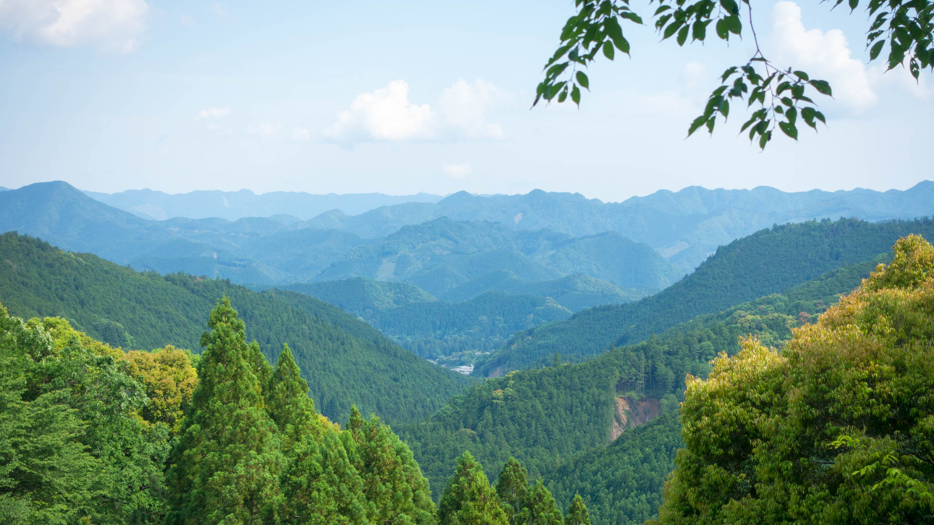
Hongu view
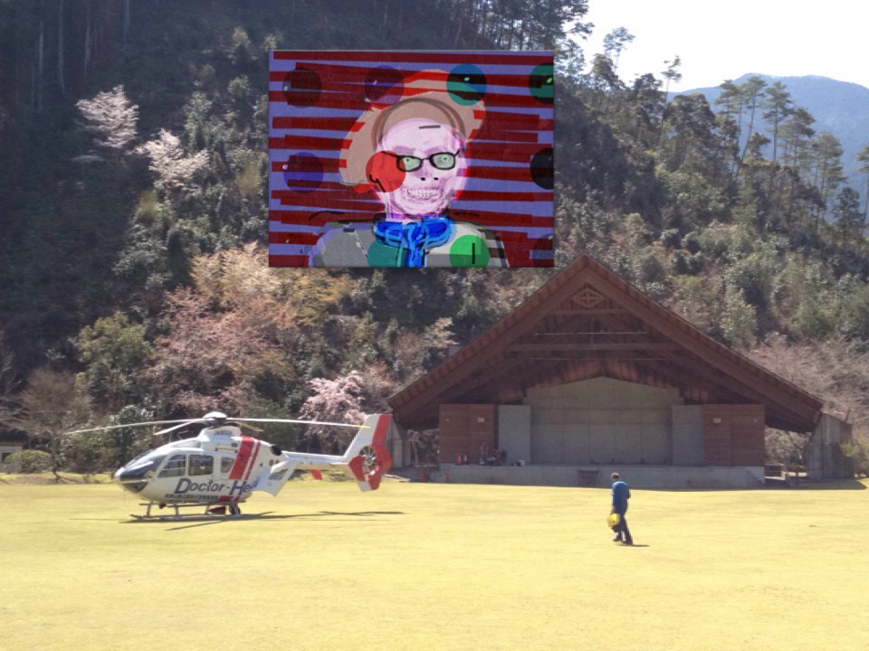
View of "Self portrait" - Saturday, 28 March 2015 - 11:11 GMT+0900

Hiking over the Kumano Kodō

大エビですな

すべての写真-1620

戻ってきたら青空も・・・
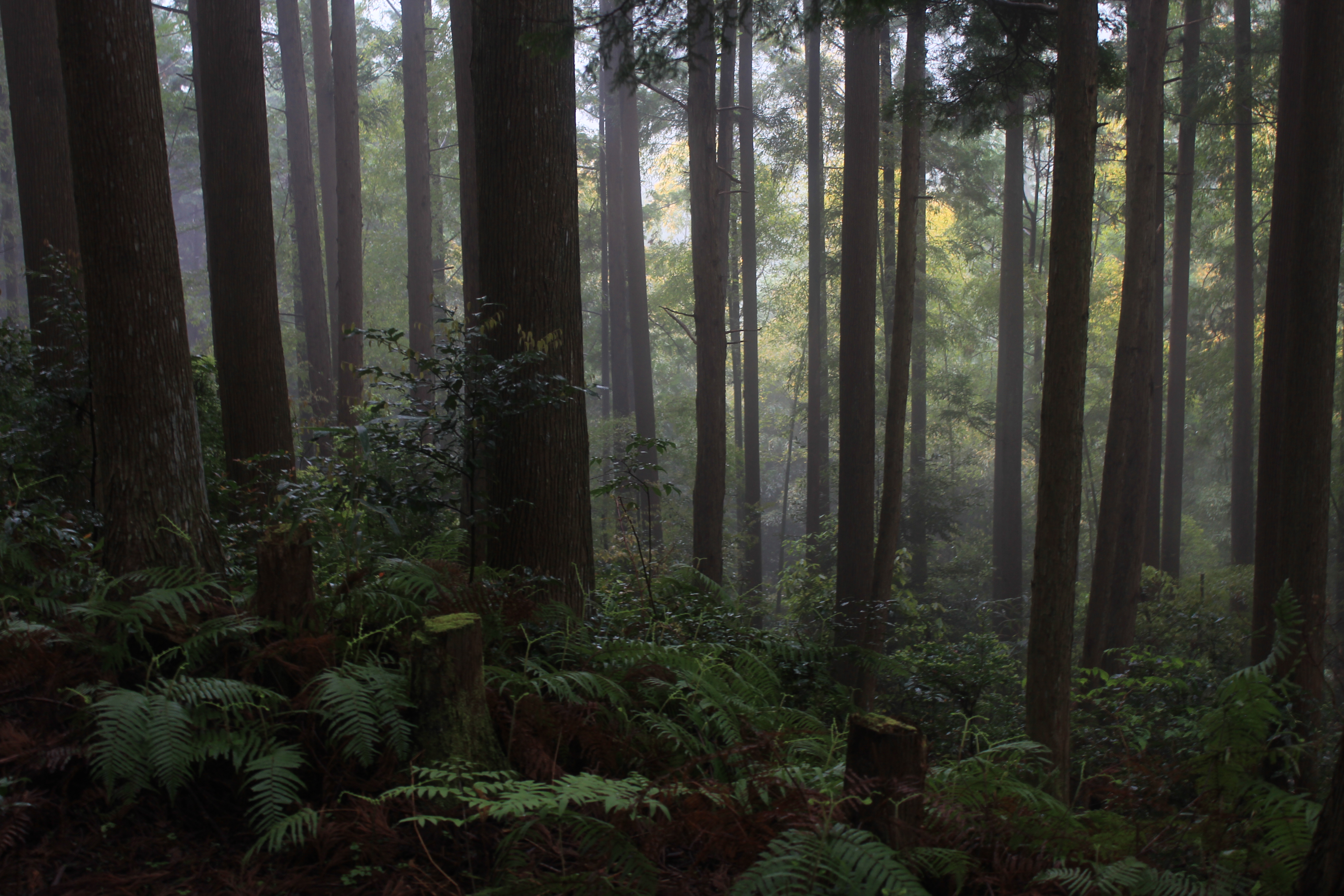
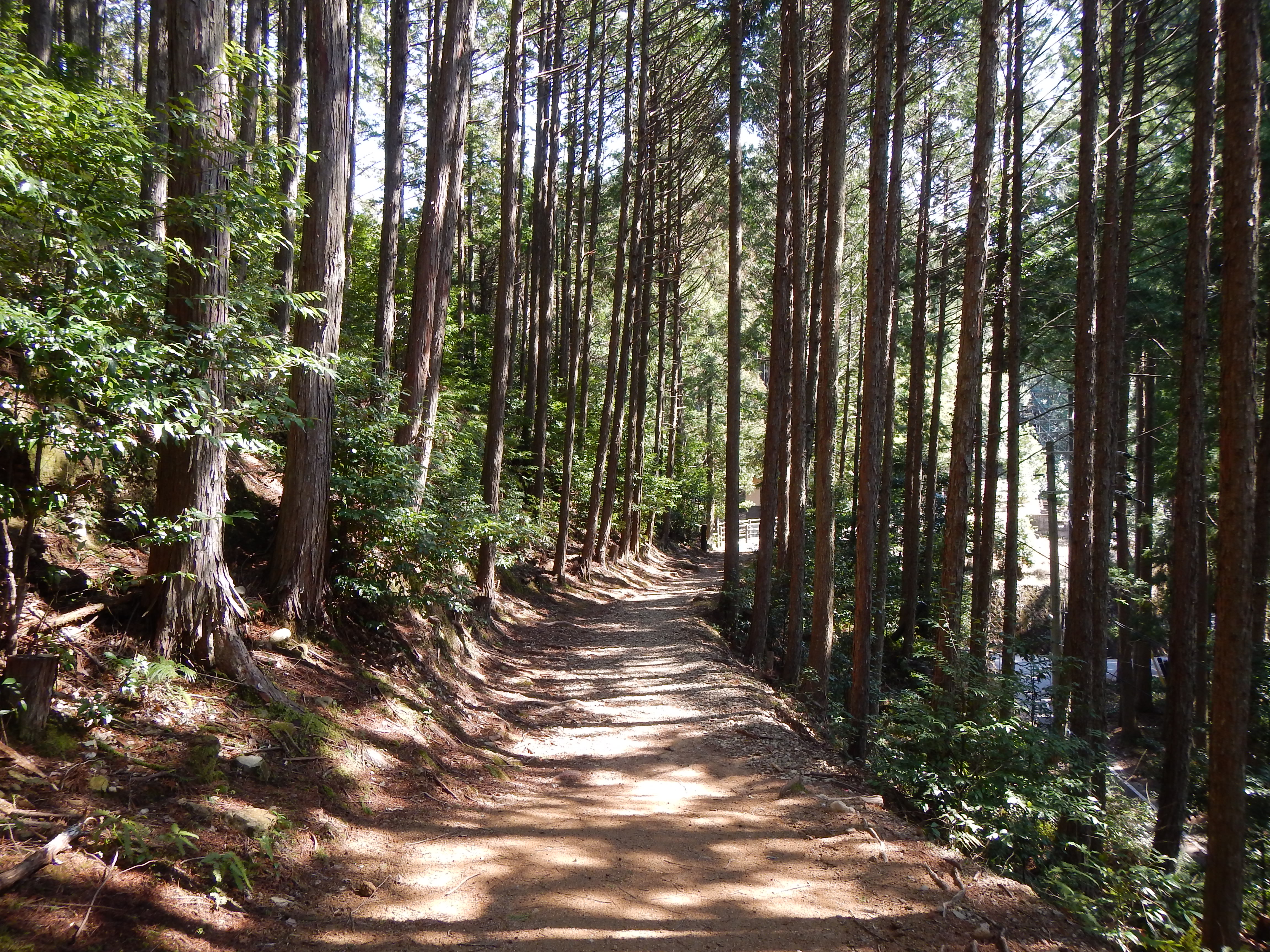
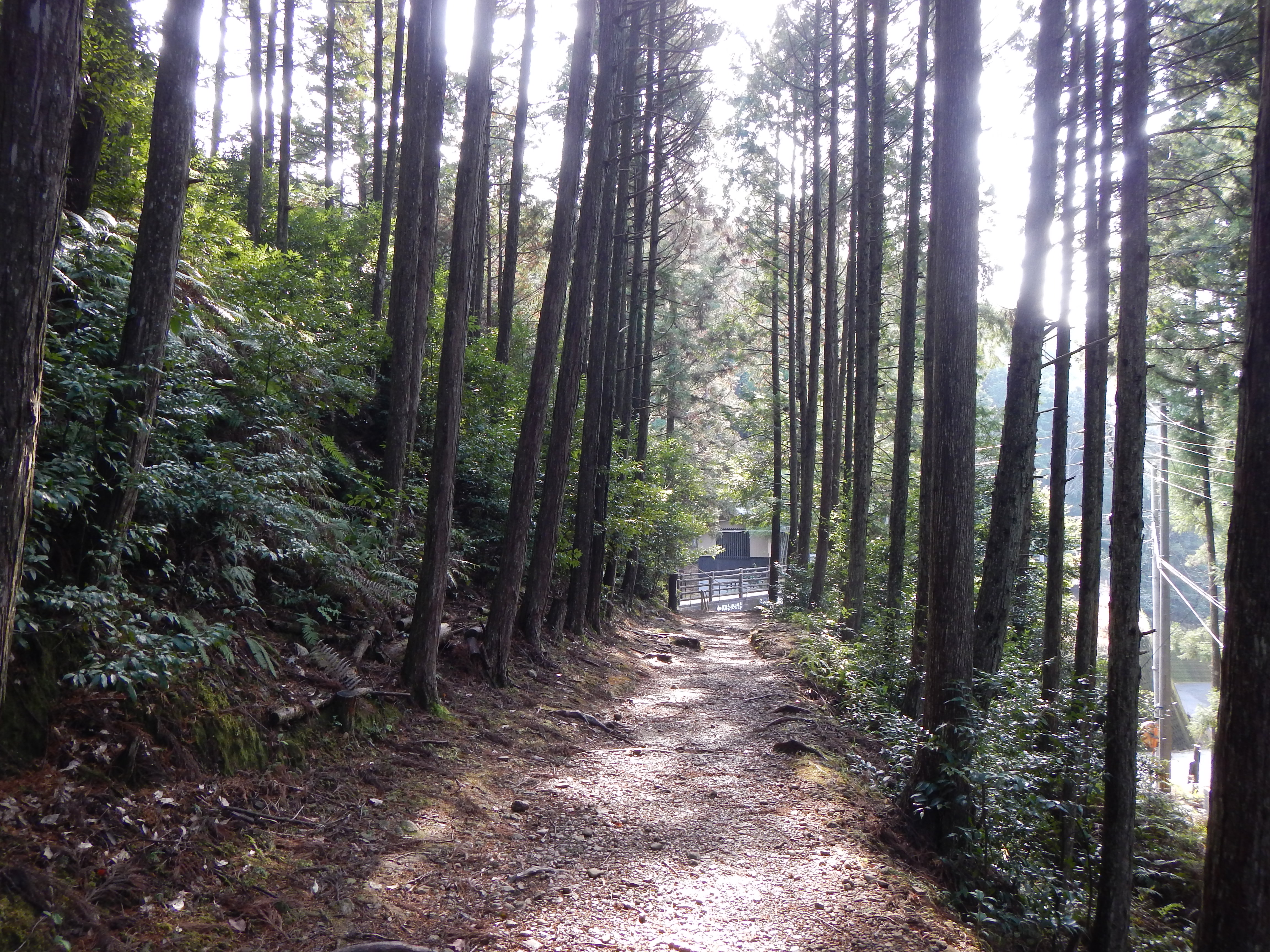
cedar forest around an old shrine, Tanise, Totsukawa
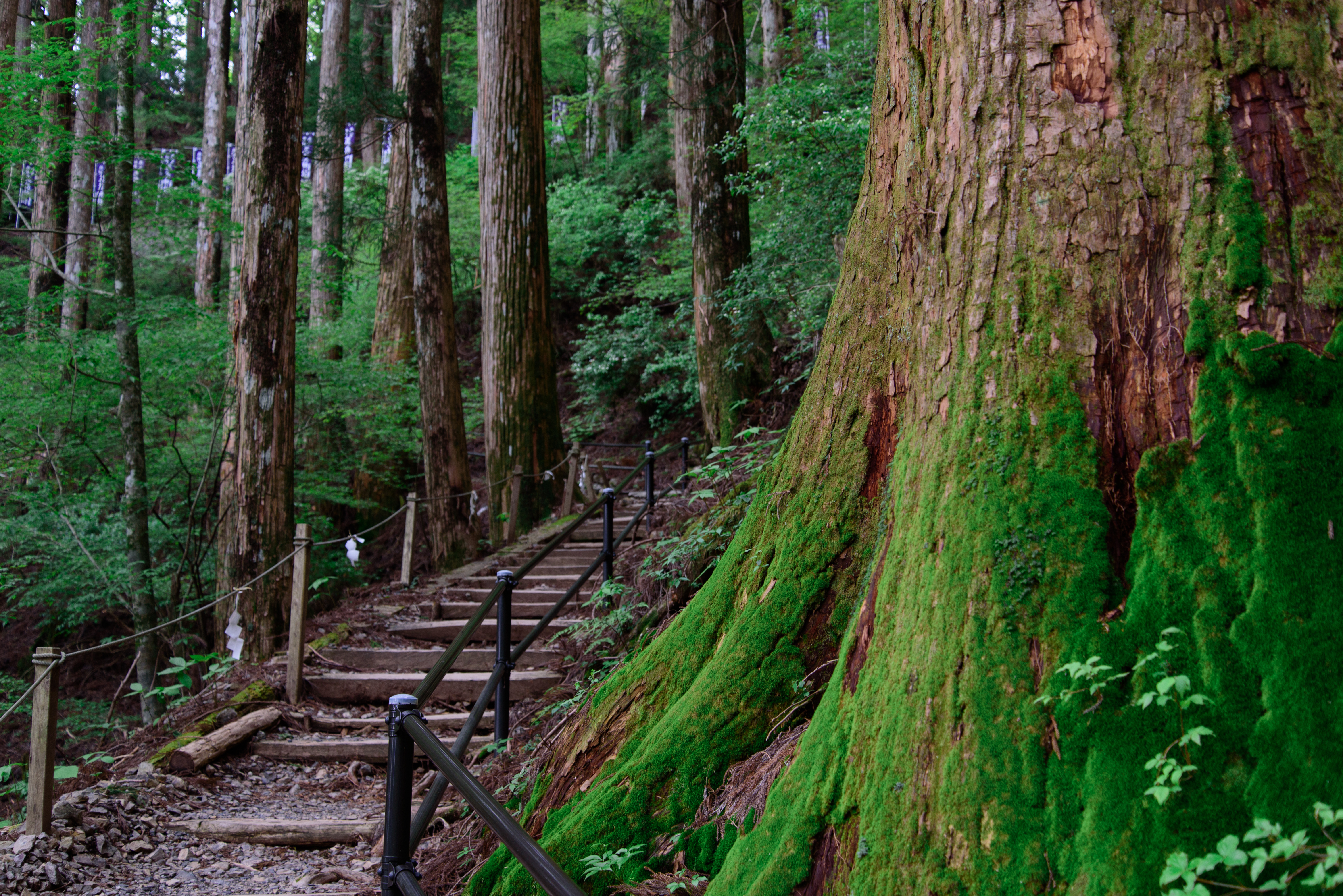
Kumano Kodo Pilgrimage Trails
kumano kodo

Hiking over the Kumano Kodō

Hiking over the Kumano Kodō
玉置神社13・Tamaki Shrine

南側の展望

釈迦ヶ岳の美しい稜線が見えてきた
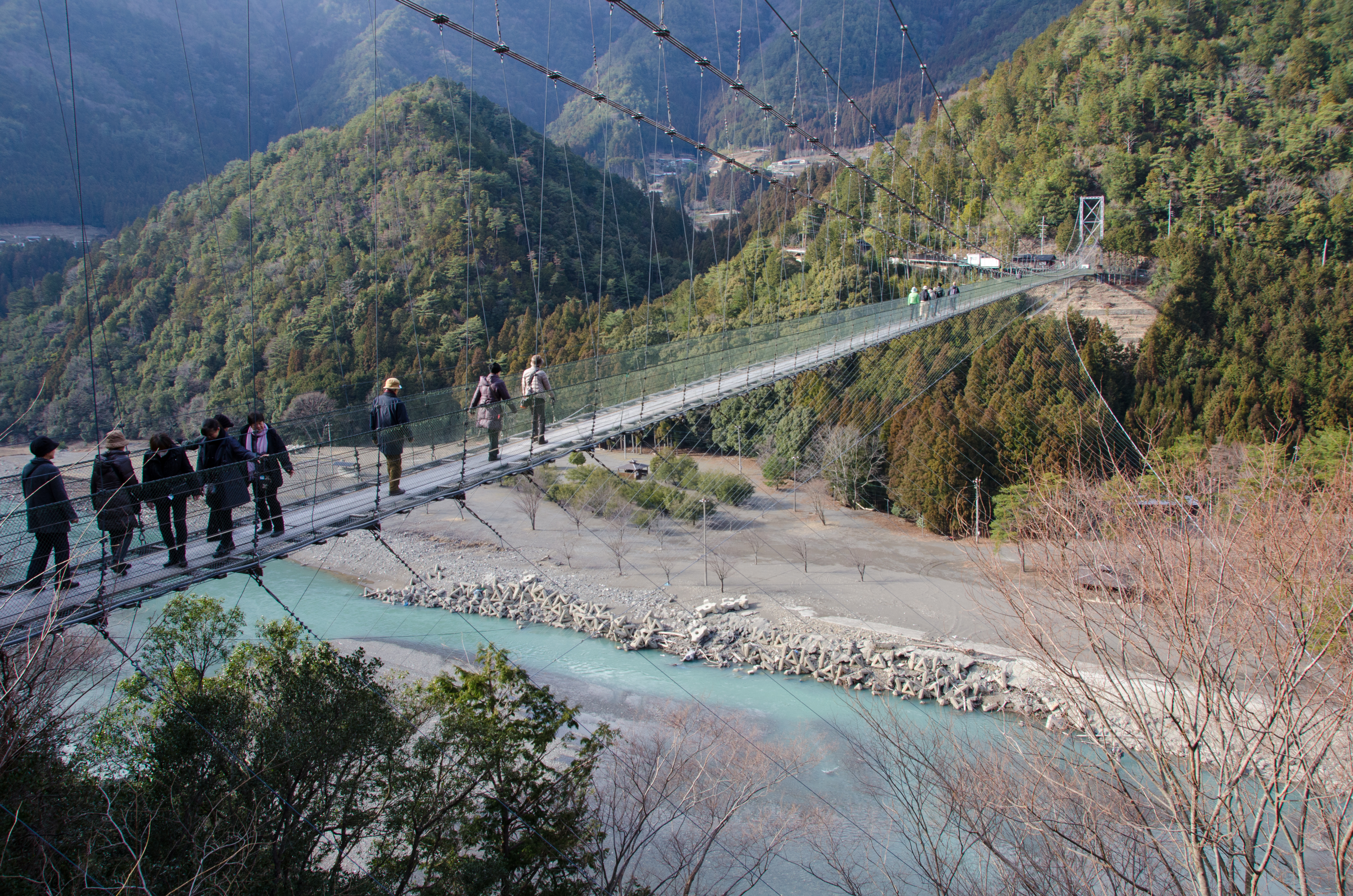
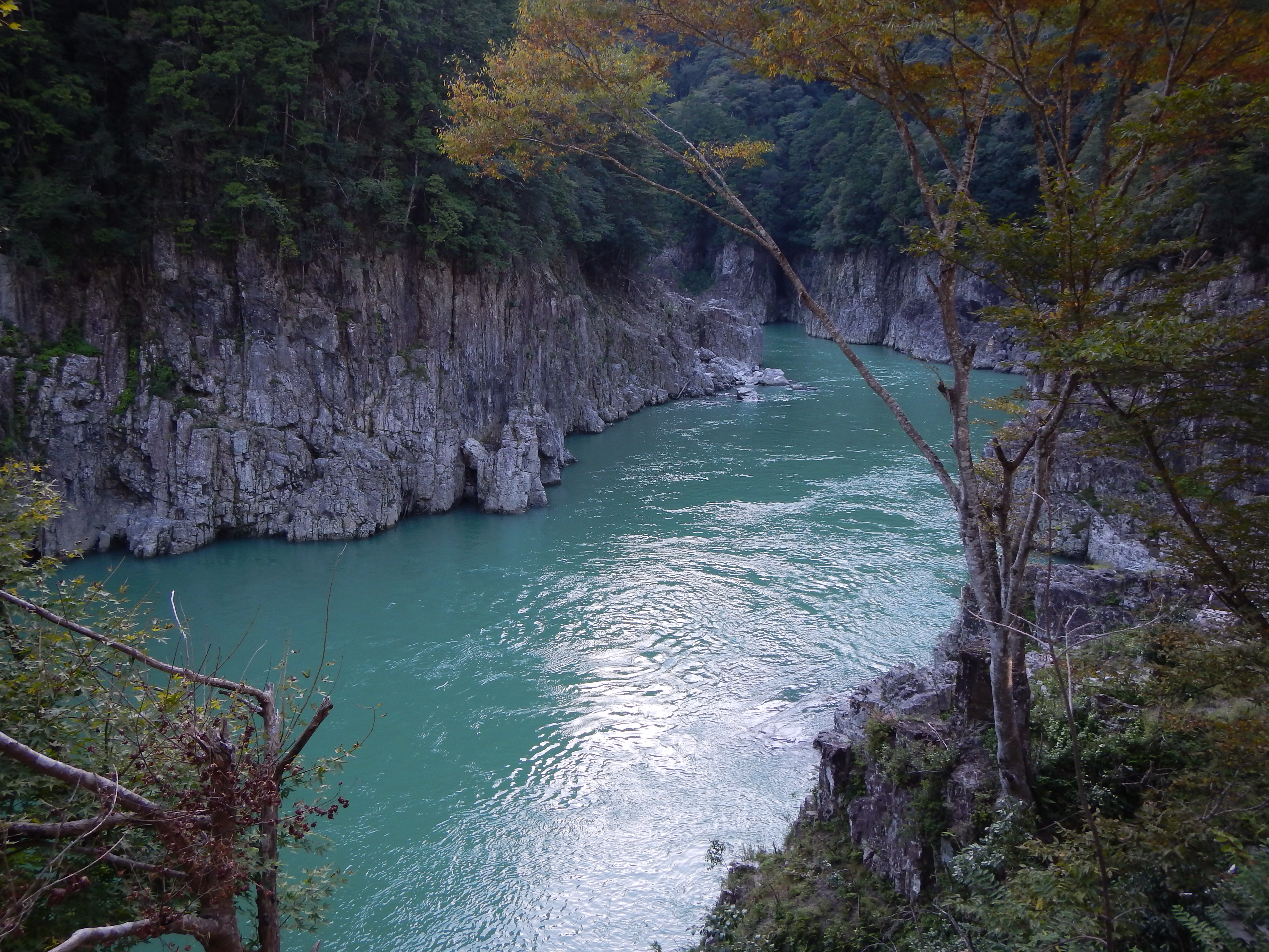
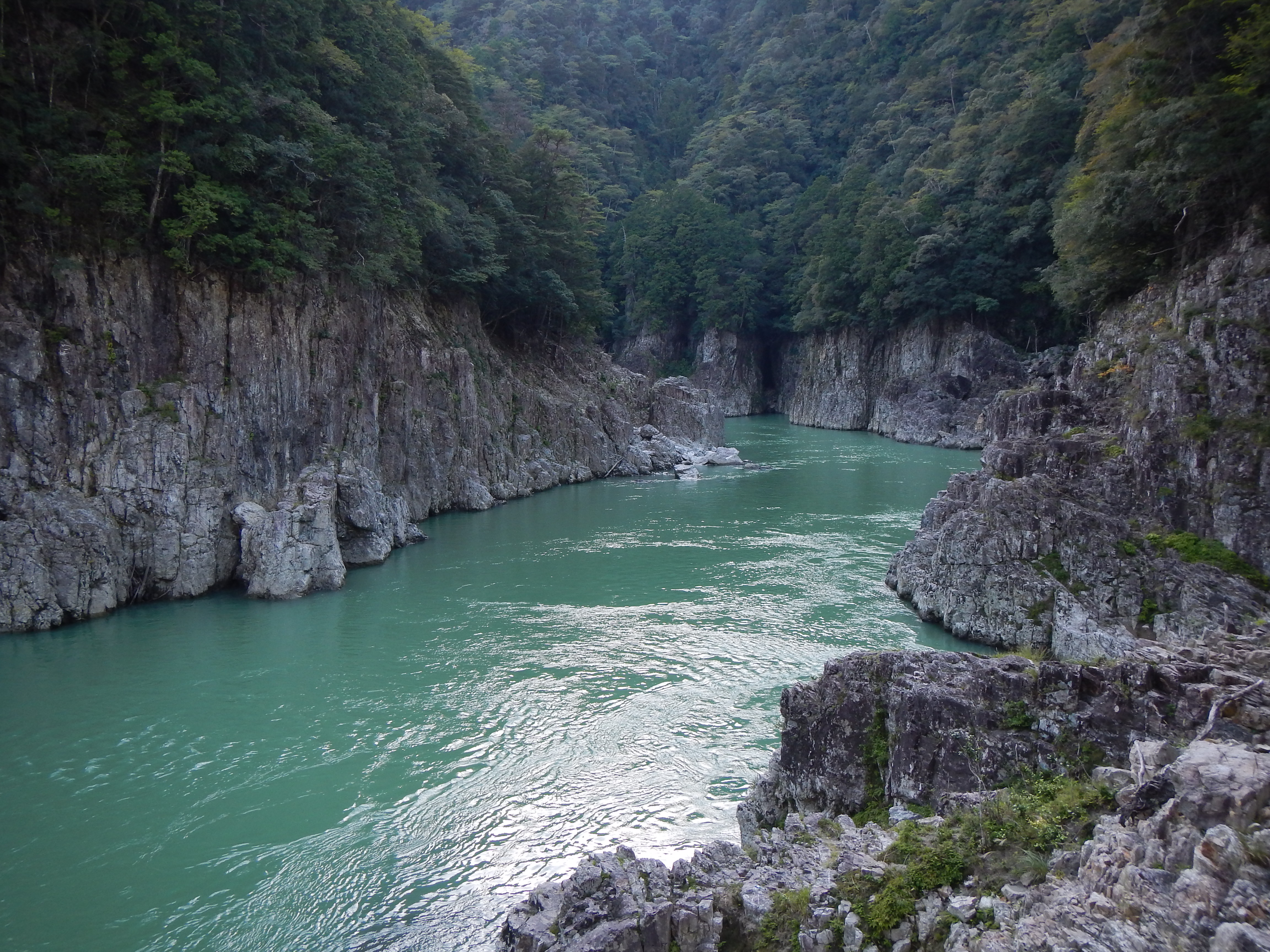
Tanise Suspension Bridge

振り返っても美しいのがこの稜線

熊野灘が光ってる

近くには大日岳

光をあびるバイケイソウと苔

釈迦ヶ岳と大日岳

一気に下ってまた激坂
kumano kodo
Kumano Kodo Pilgrimage Trails
Topographic Map of Musashi, Totsukawa-mura, Yoshino-gun, Nara-ken -, Japan
Find elevation by address:

Places near Musashi, Totsukawa-mura, Yoshino-gun, Nara-ken -, Japan:
Yunohara, Totsukawa-mura, Yoshino-gun, Nara-ken -, Japan
Totsukawa
Ōno, Totsukawa-mura, Yoshino-gun, Nara-ken -, Japan
88 Koi, Totsukawa-mura, Yoshino-gun, Nara-ken -, Japan
73 Takataki, Totsukawa-mura, Yoshino-gun, Nara-ken -, Japan
Ikeana, Totsukawa-mura, Yoshino-gun, Nara-ken -, Japan
Ogawa, Totsukawa-mura, Yoshino-gun, Nara-ken -, Japan
Kashihara, Totsukawa-mura, Yoshino-gun, Nara-ken -, Japan
Oritachi, Totsukawa-mura, Yoshino-gun, Nara-ken -, Japan
Nojiri, Totsukawa-mura, Yoshino-gun, Nara-ken -, Japan
Tanigaito, Totsukawa-mura, Yoshino-gun, Nara-ken -, Japan
Yamatedani, Totsukawa-mura, Yoshino-gun, Nara-ken -, Japan
Higashinaka, Totsukawa-mura, Yoshino-gun, Nara-ken -, Japan
Kazeya, Totsukawa-mura, Yoshino-gun, Nara-ken -, Japan
Yamate, Totsukawa-mura, Yoshino-gun, Nara-ken -, Japan
Kamikuzugawa, Totsukawa-mura, Yoshino-gun, Nara-ken -, Japan
-2 Hiradani, Totsukawa-mura, Yoshino-gun, Nara-ken -, Japan
Imanishi, Totsukawa-mura, Yoshino-gun, Nara-ken -, Japan
Naihara, Totsukawa-mura, Yoshino-gun, Nara-ken -, Japan
Nagai, Totsukawa-mura, Yoshino-gun, Nara-ken -, Japan
Recent Searches:
- Elevation of Corso Fratelli Cairoli, 35, Macerata MC, Italy
- Elevation of Tallevast Rd, Sarasota, FL, USA
- Elevation of 4th St E, Sonoma, CA, USA
- Elevation of Black Hollow Rd, Pennsdale, PA, USA
- Elevation of Oakland Ave, Williamsport, PA, USA
- Elevation of Pedrógão Grande, Portugal
- Elevation of Klee Dr, Martinsburg, WV, USA
- Elevation of Via Roma, Pieranica CR, Italy
- Elevation of Tavkvetili Mountain, Georgia
- Elevation of Hartfords Bluff Cir, Mt Pleasant, SC, USA