Elevation of Ogawa, Totsukawa-mura, Yoshino-gun, Nara-ken -, Japan
Location: Japan > Nara Prefecture > Yoshino District > Totsukawa >
Longitude: 135.845094
Latitude: 33.9698983
Elevation: 360m / 1181feet
Barometric Pressure: 97KPa
Elevation Map:
Satellite Map:
Related Photos:
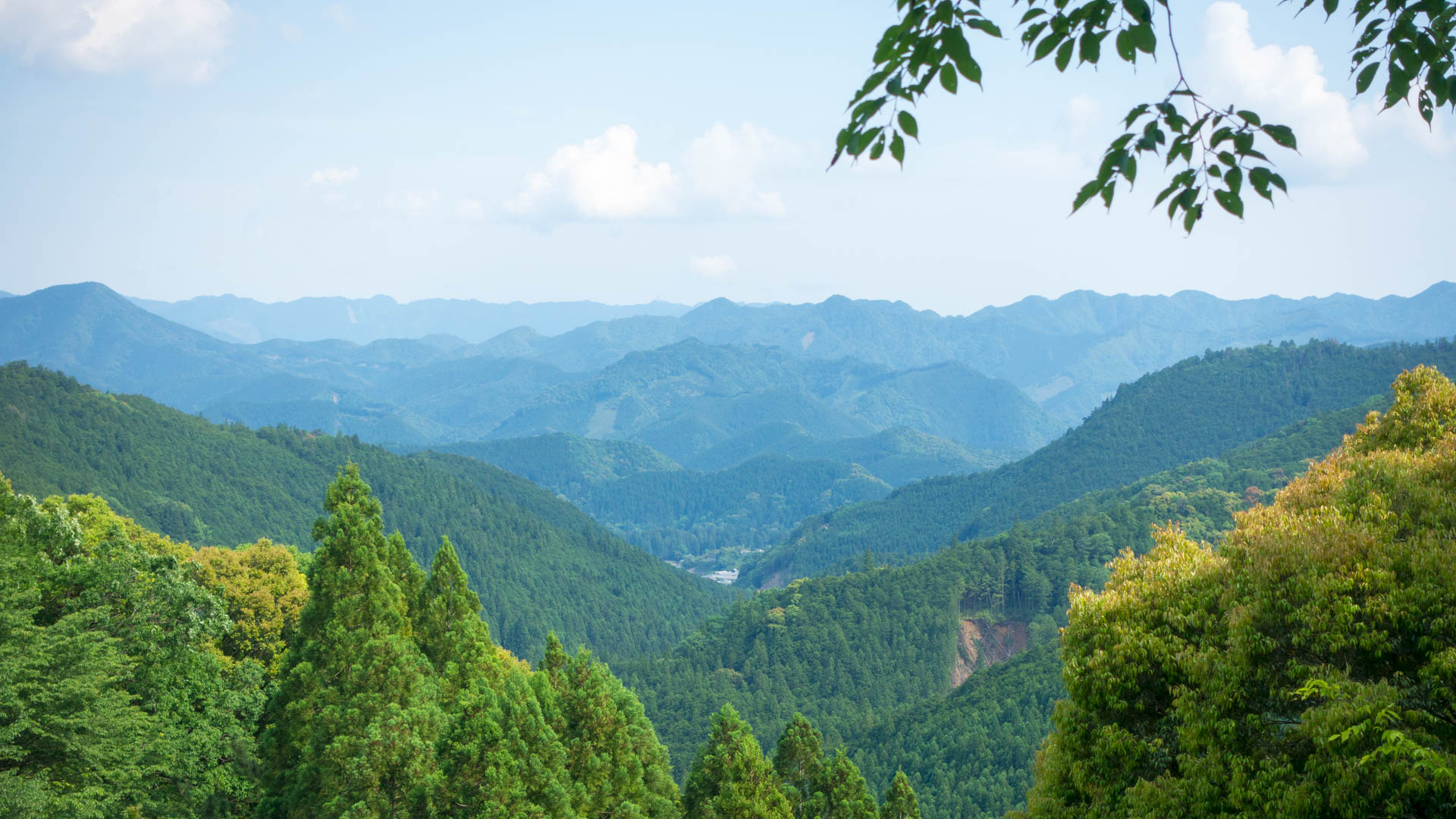
Hongu view
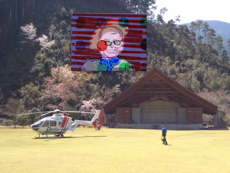
View of "Self portrait" - Saturday, 28 March 2015 - 11:11 GMT+0900
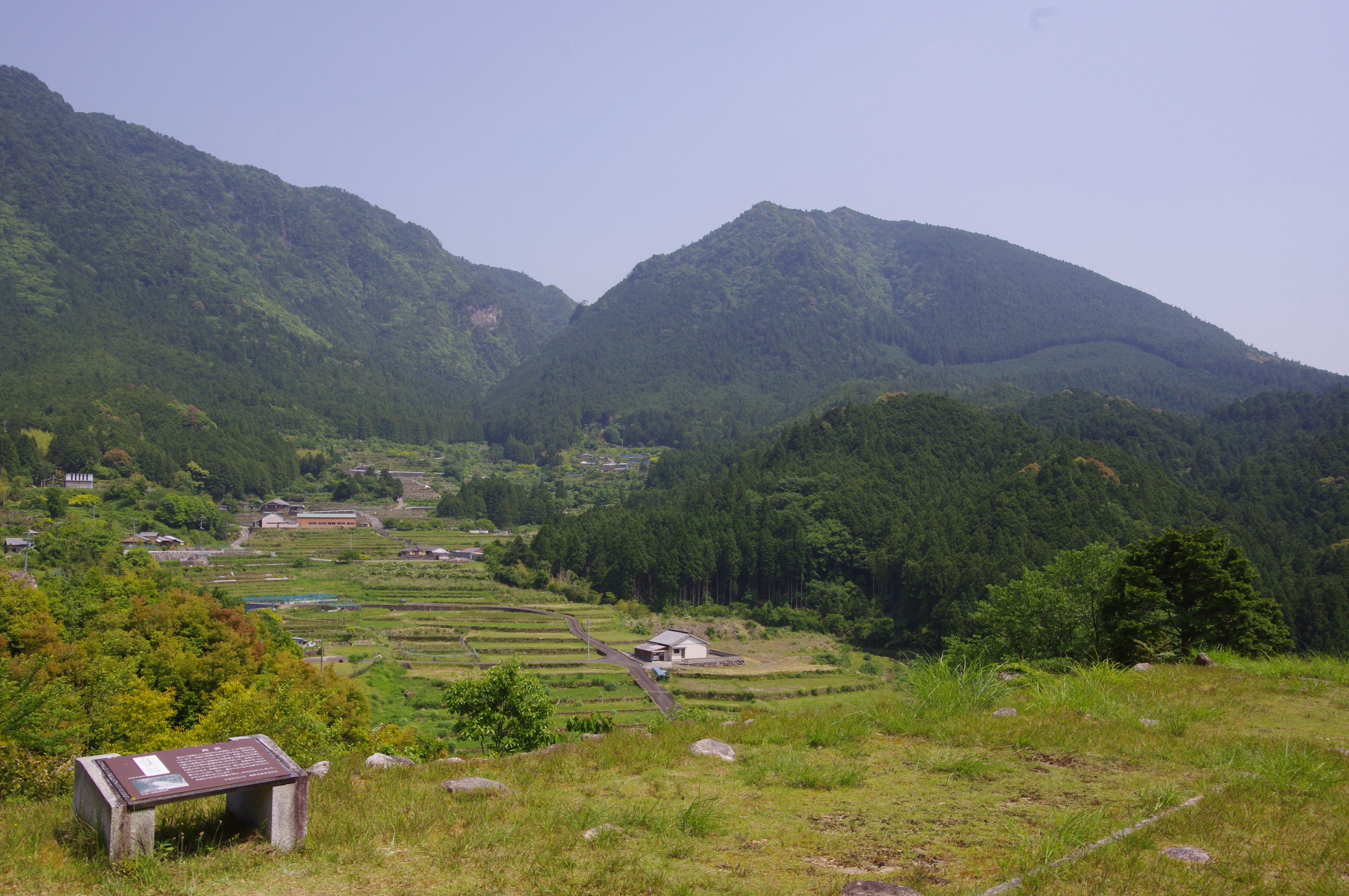
赤木城址からの眺望
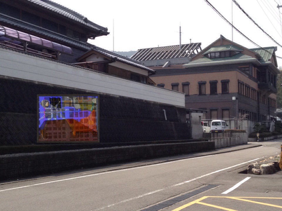
View of "V-G-RemiX" - Wednesday, 19 March 2014 - 04:32 GMT+0100

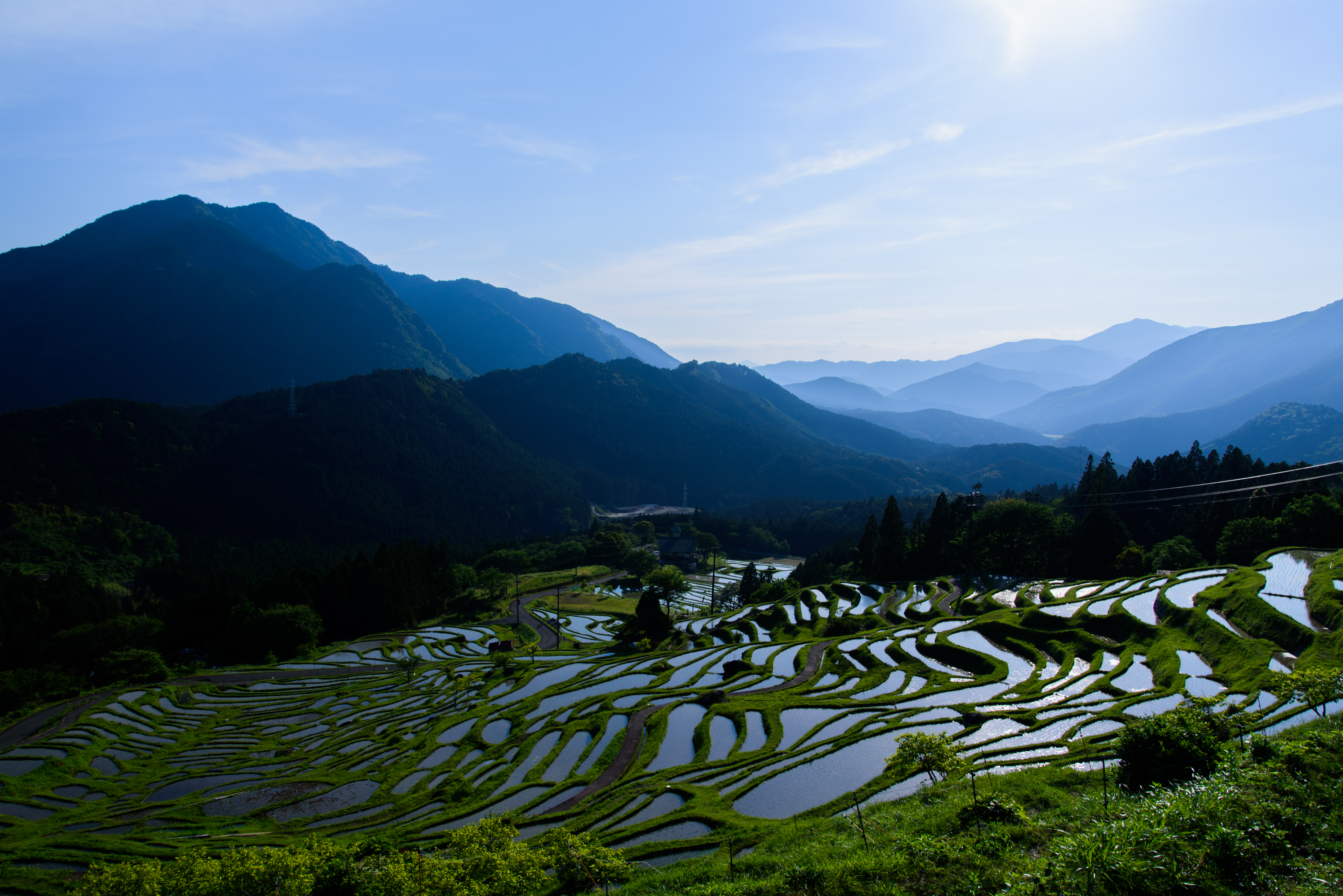
Traditional Japanese rice terraces and Windmill palms (Trachycarpus fortunei), Maruyama, Kumano

Traditional Japanese rice paddy terraces, Maruyama, Kumano

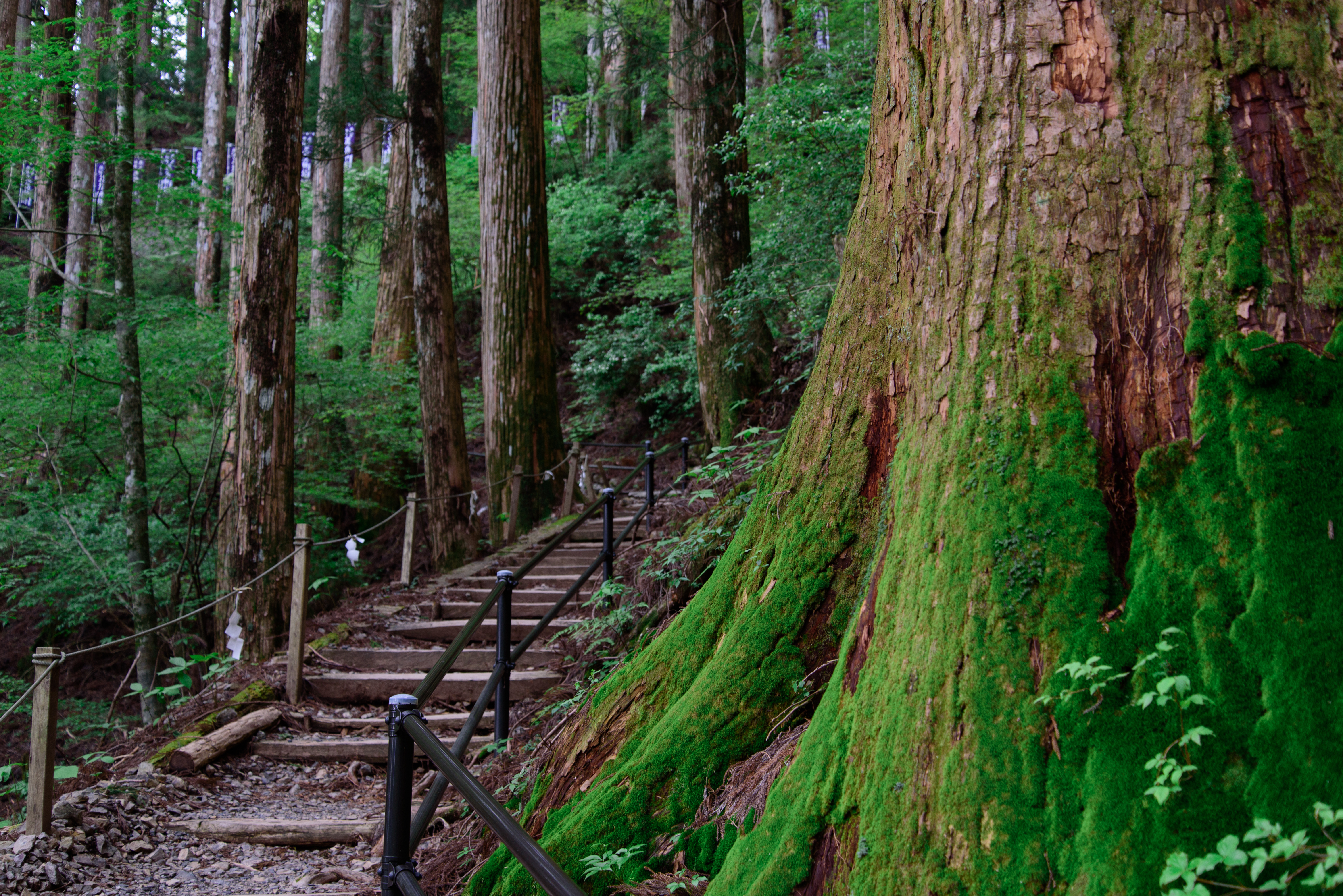
Hiking over the Kumano Kodō

すべての写真-1620

戻ってきたら青空も・・・
玉置神社13・Tamaki Shrine

南側の展望
これなんだろ?

少し離れた展望台からの棚田
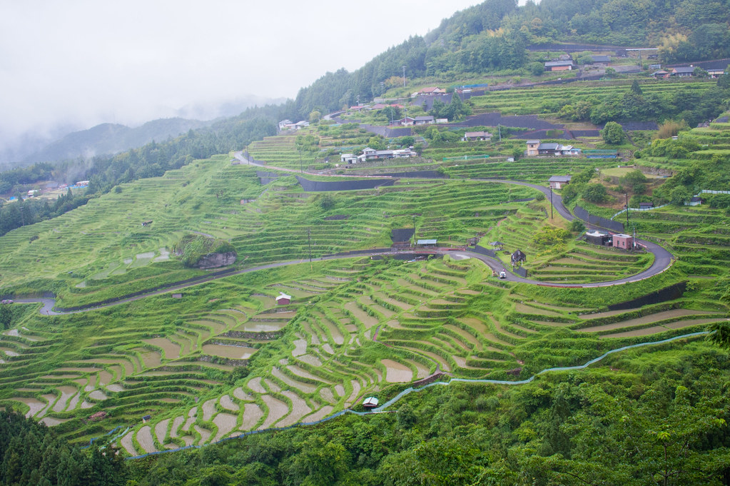
一目千枚

大エビですな
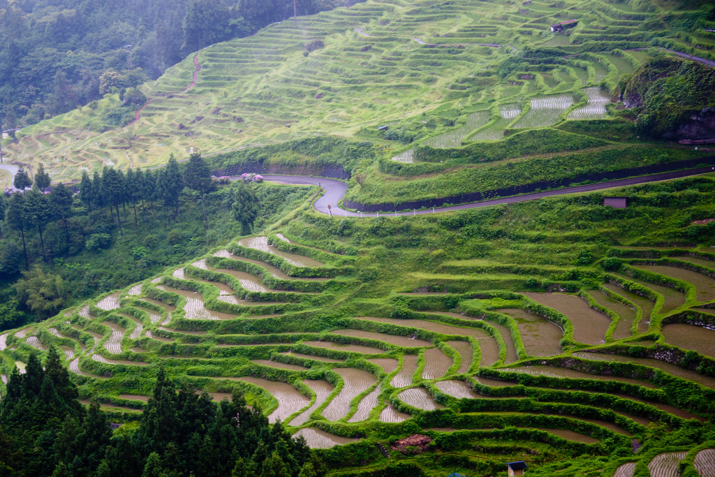
丸山千枚田6・Rice Field of Maruyama
Rice Terraces of the rainy day

少し下りました
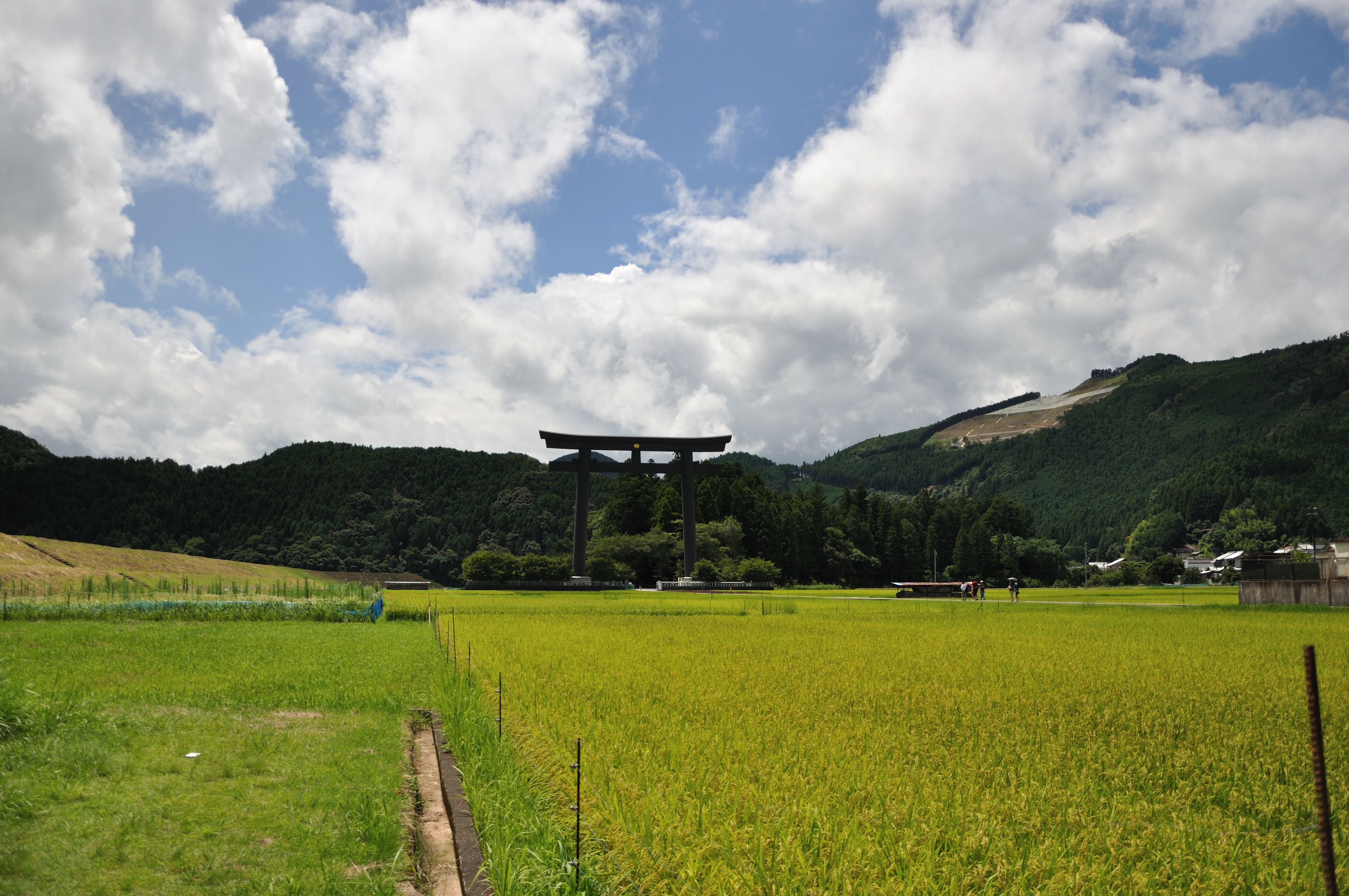
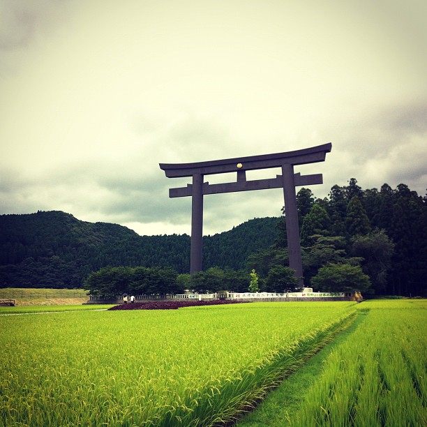
069 熊野本宮
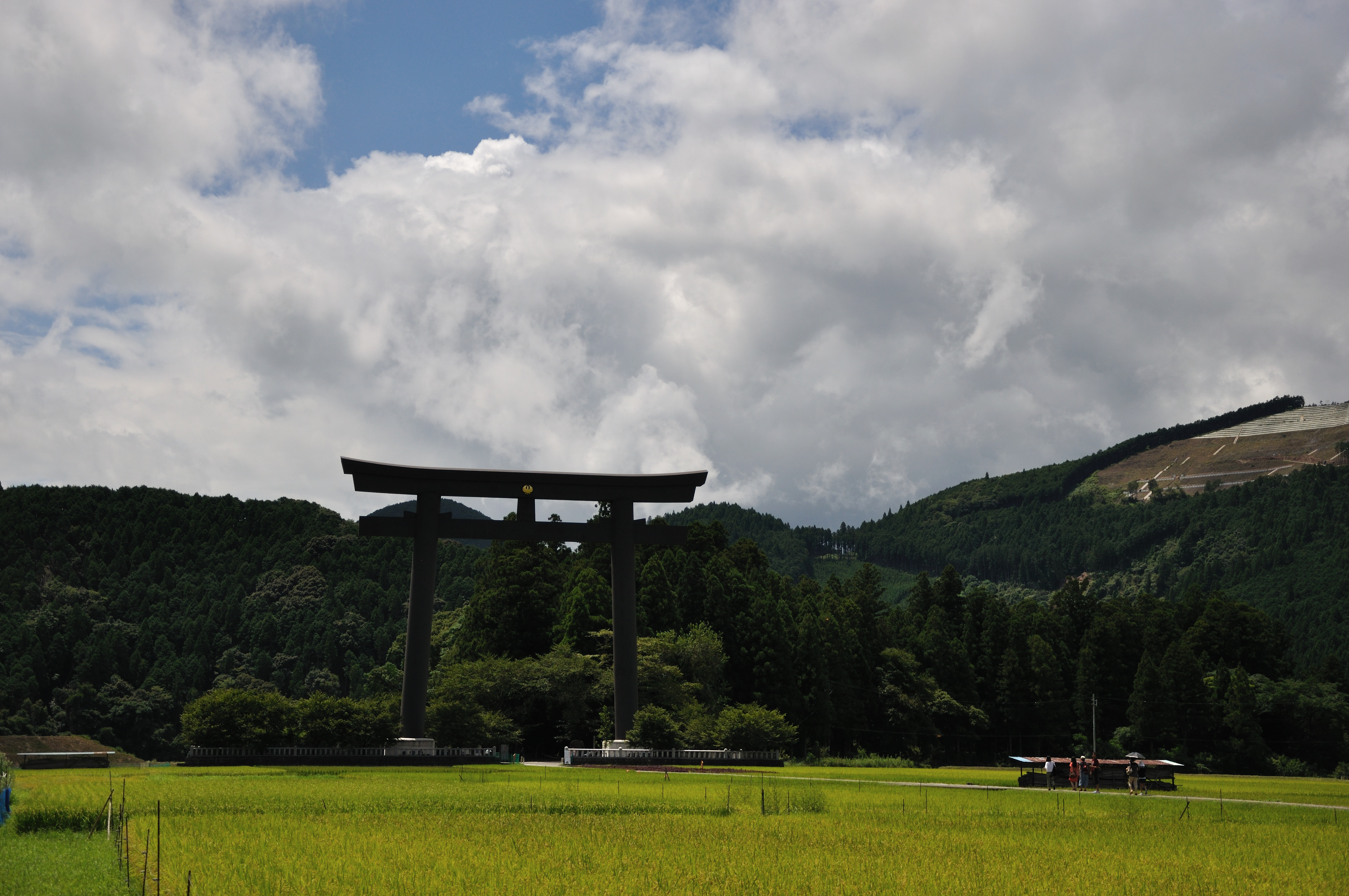
071 熊野本宮

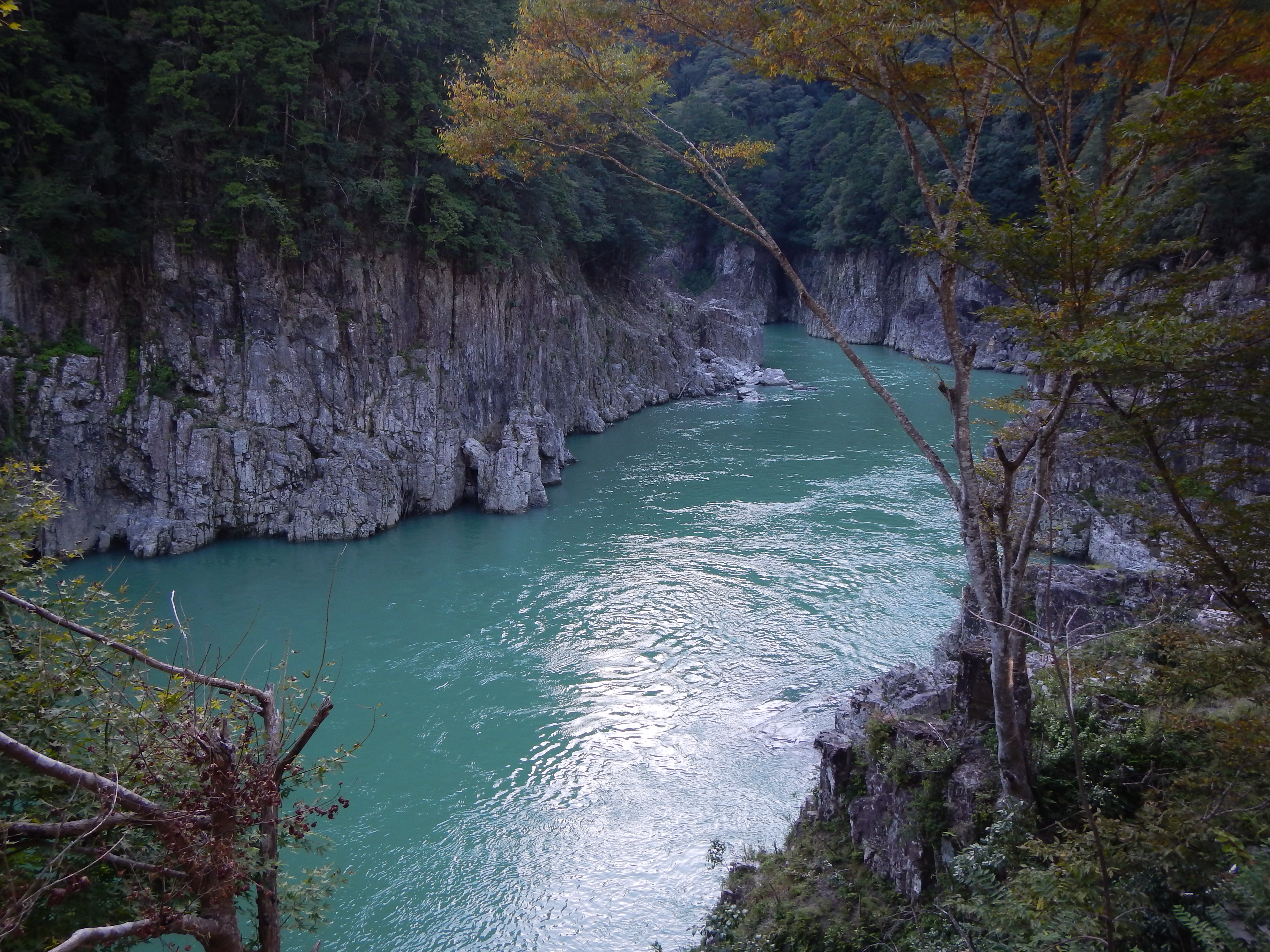
Paddling into the beauty of Yoshino-Kumano National Park, Mie, Japan
Kumano Kodo Pilgrimage Trails
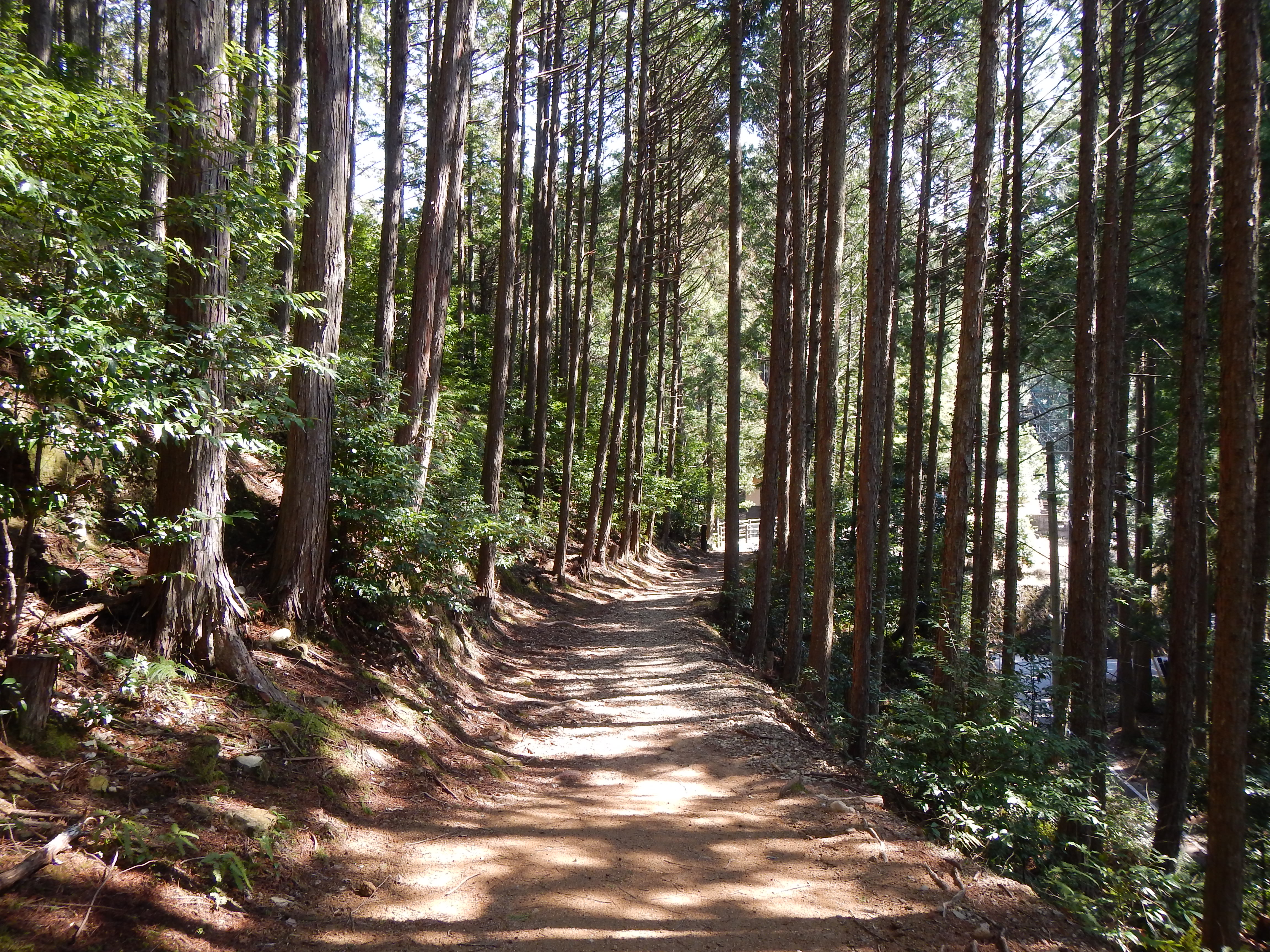
kumano kodo
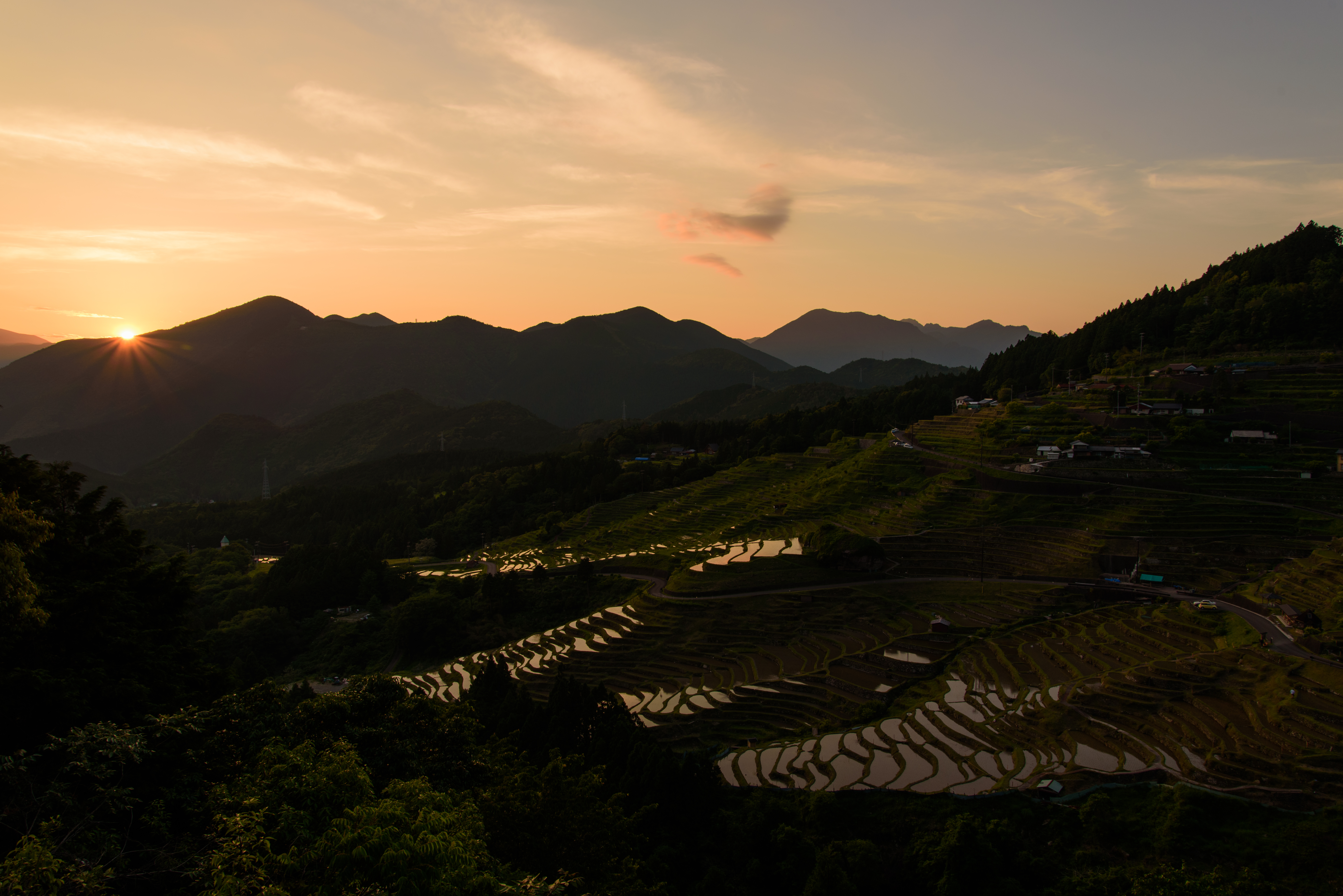
丸山千枚田36・Rice Field of Maruyama
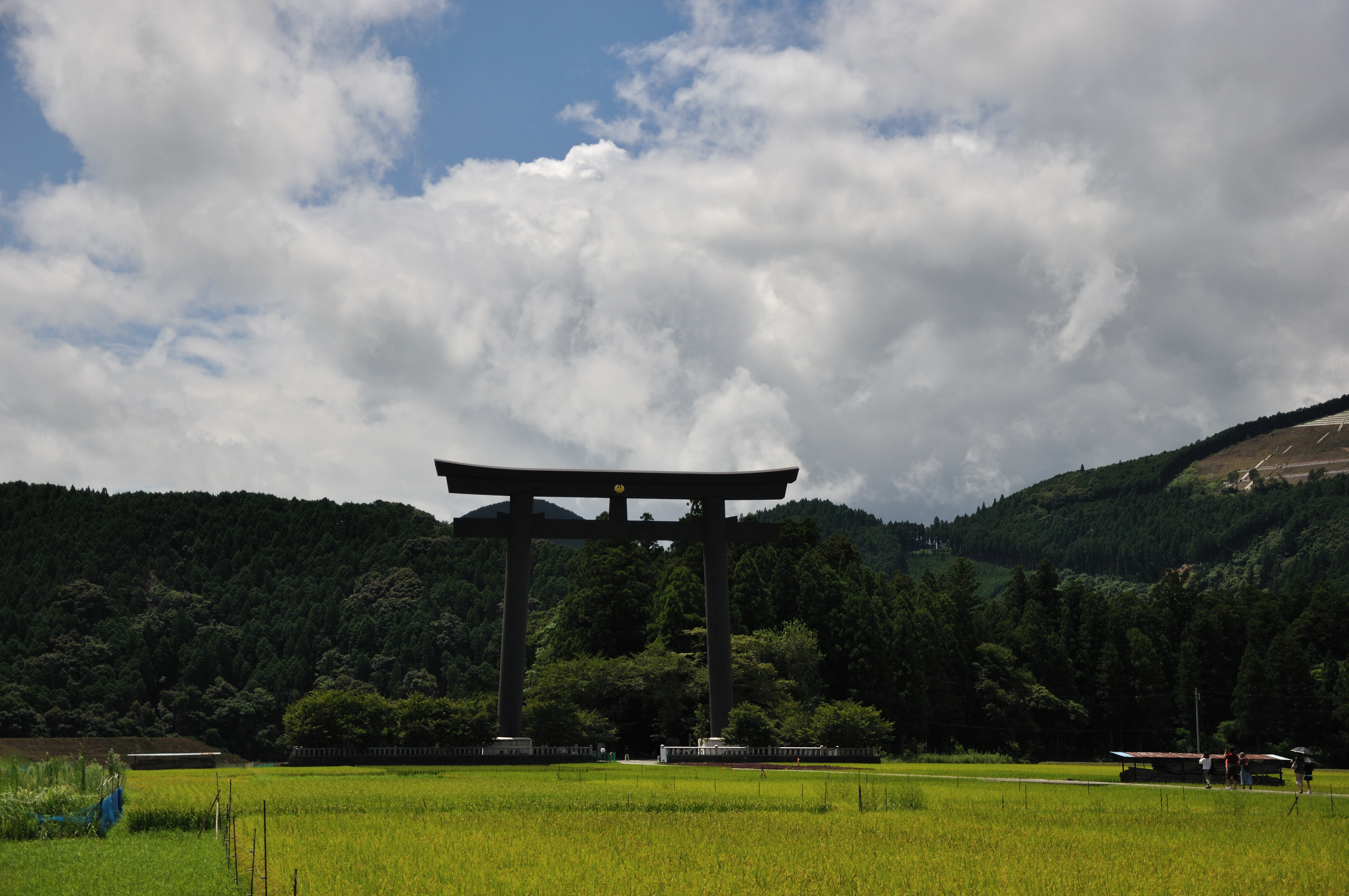
070 熊野本宮
Topographic Map of Ogawa, Totsukawa-mura, Yoshino-gun, Nara-ken -, Japan
Find elevation by address:

Places near Ogawa, Totsukawa-mura, Yoshino-gun, Nara-ken -, Japan:
Higashinaka, Totsukawa-mura, Yoshino-gun, Nara-ken -, Japan
Ōno, Totsukawa-mura, Yoshino-gun, Nara-ken -, Japan
Kamikuzugawa, Totsukawa-mura, Yoshino-gun, Nara-ken -, Japan
73 Takataki, Totsukawa-mura, Yoshino-gun, Nara-ken -, Japan
Musashi, Totsukawa-mura, Yoshino-gun, Nara-ken -, Japan
86 Kōka, Totsukawa-mura, Yoshino-gun, Nara-ken -, Japan
Oritachi, Totsukawa-mura, Yoshino-gun, Nara-ken -, Japan
Totsukawa
Yunohara, Totsukawa-mura, Yoshino-gun, Nara-ken -, Japan
Kashihara, Totsukawa-mura, Yoshino-gun, Nara-ken -, Japan
Yamatedani, Totsukawa-mura, Yoshino-gun, Nara-ken -, Japan
88 Koi, Totsukawa-mura, Yoshino-gun, Nara-ken -, Japan
-2 Hiradani, Totsukawa-mura, Yoshino-gun, Nara-ken -, Japan
Ikeana, Totsukawa-mura, Yoshino-gun, Nara-ken -, Japan
Tanigaito, Totsukawa-mura, Yoshino-gun, Nara-ken -, Japan
Yamate, Totsukawa-mura, Yoshino-gun, Nara-ken -, Japan
Nojiri, Totsukawa-mura, Yoshino-gun, Nara-ken -, Japan
Kazeya, Totsukawa-mura, Yoshino-gun, Nara-ken -, Japan
Naihara, Totsukawa-mura, Yoshino-gun, Nara-ken -, Japan
Imanishi, Totsukawa-mura, Yoshino-gun, Nara-ken -, Japan
Recent Searches:
- Elevation of Corso Fratelli Cairoli, 35, Macerata MC, Italy
- Elevation of Tallevast Rd, Sarasota, FL, USA
- Elevation of 4th St E, Sonoma, CA, USA
- Elevation of Black Hollow Rd, Pennsdale, PA, USA
- Elevation of Oakland Ave, Williamsport, PA, USA
- Elevation of Pedrógão Grande, Portugal
- Elevation of Klee Dr, Martinsburg, WV, USA
- Elevation of Via Roma, Pieranica CR, Italy
- Elevation of Tavkvetili Mountain, Georgia
- Elevation of Hartfords Bluff Cir, Mt Pleasant, SC, USA