Elevation of Sheridan, MO, USA
Location: United States > Missouri > Worth County >
Longitude: -94.612186
Latitude: 40.5180449
Elevation: 319m / 1047feet
Barometric Pressure: 98KPa
Elevation Map:
Satellite Map:
Related Photos:

Roberta Carmichael - A View to the East
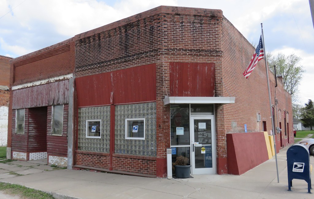
Post Office 64486 (Sheridan, Missouri)
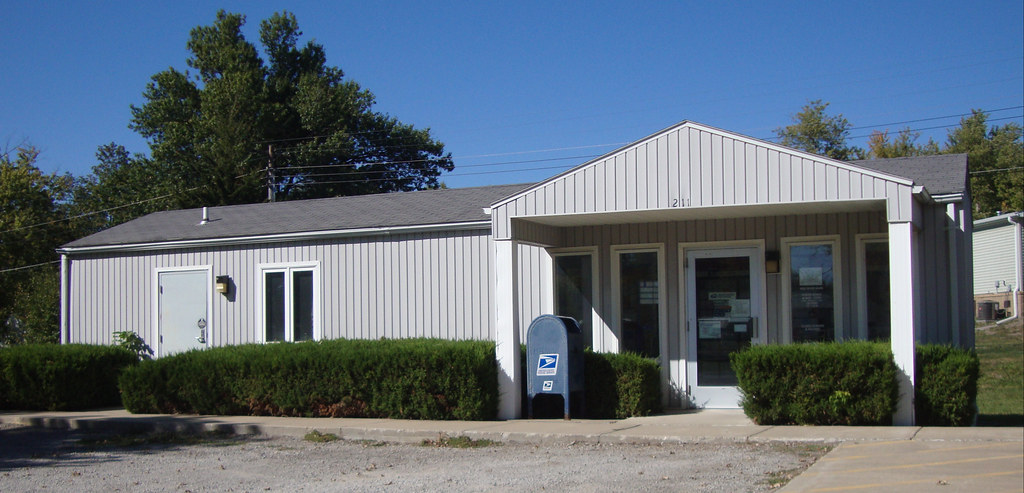
Post Office 64475 (Parnell, Missouri)

engaging secrets
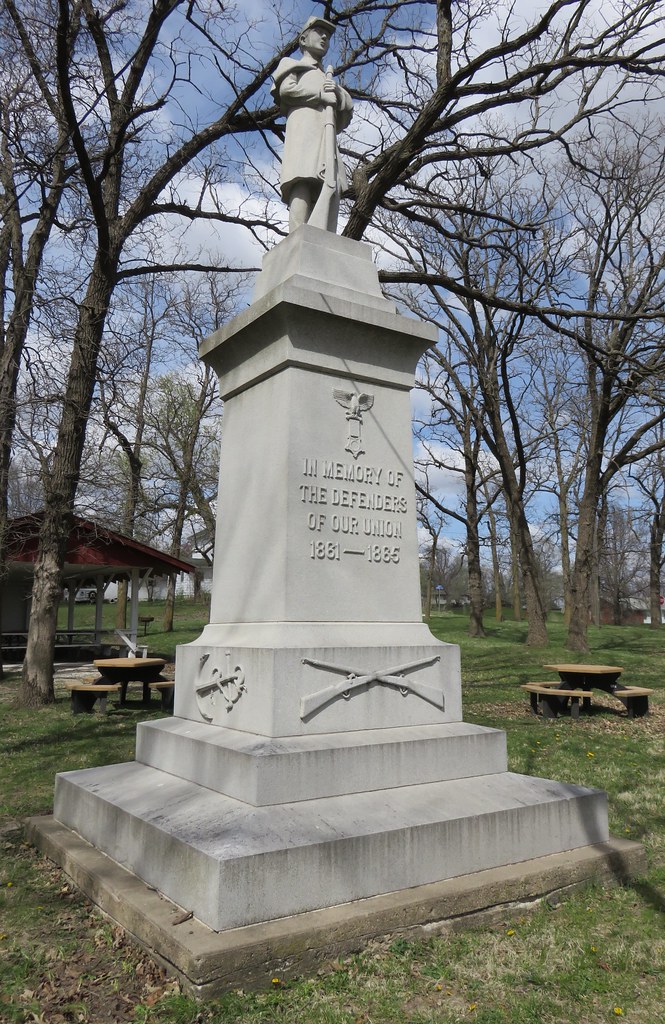
Taylor County Civil War Monument (Blockton, Iowa)
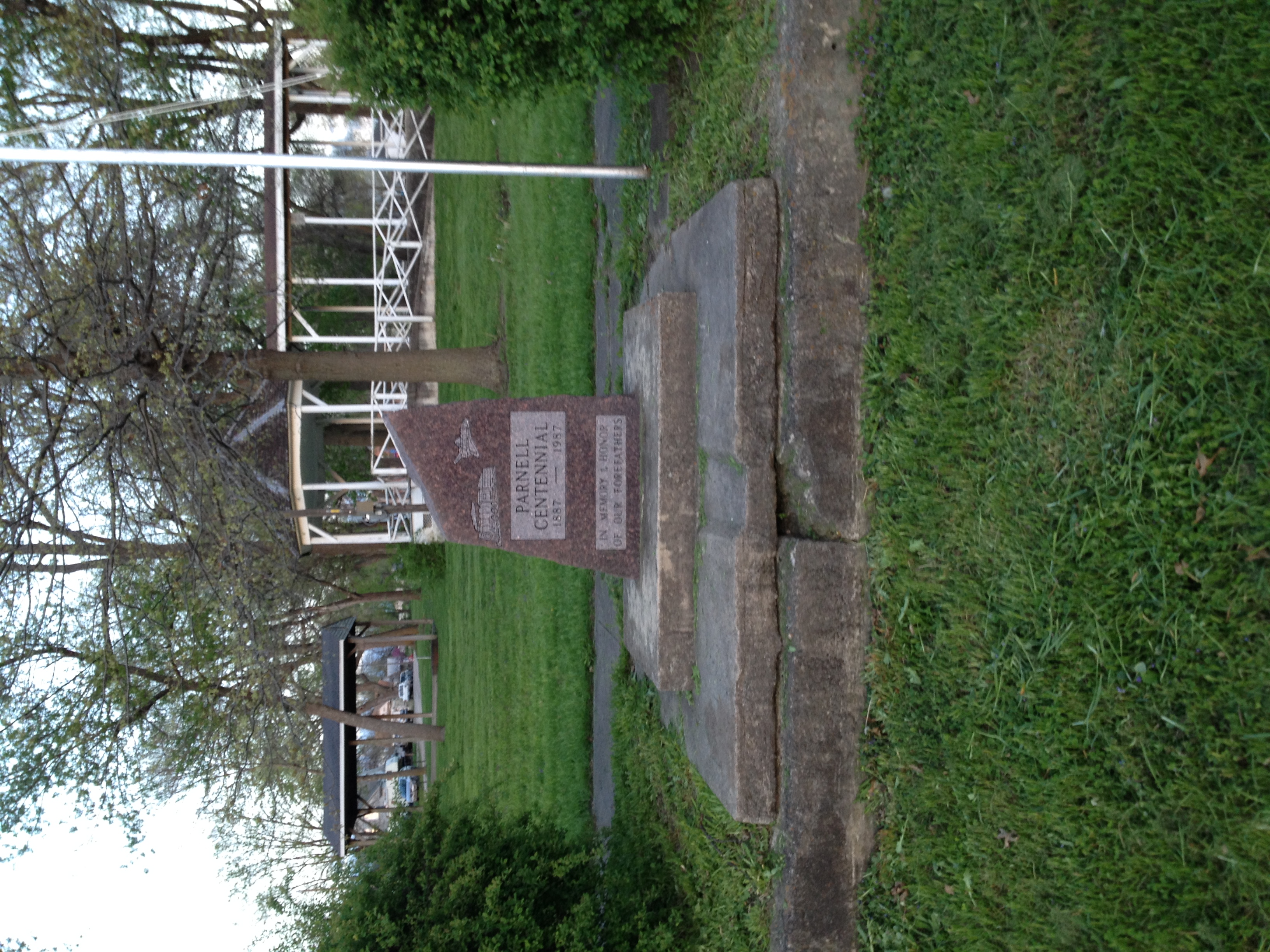
Parnell Centennial Marker
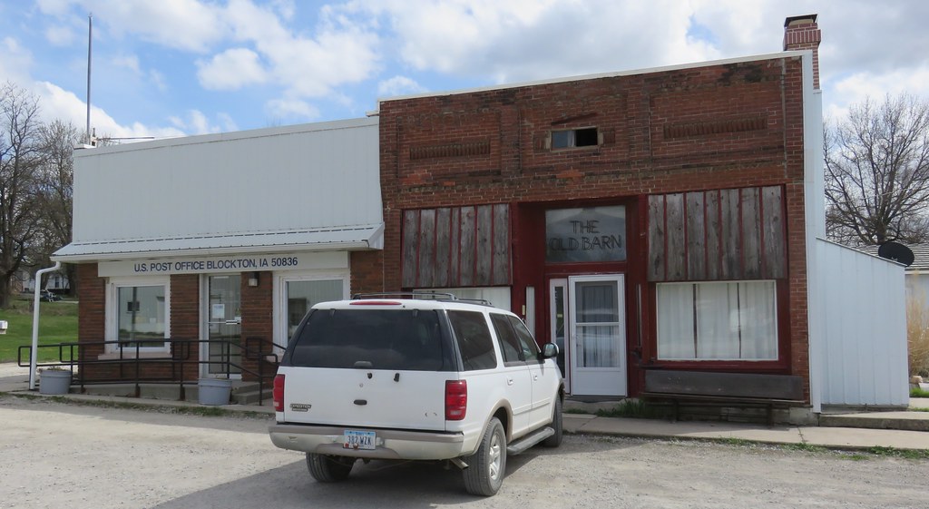
Post Office 50836 and Storefront (Blockton, Iowa)
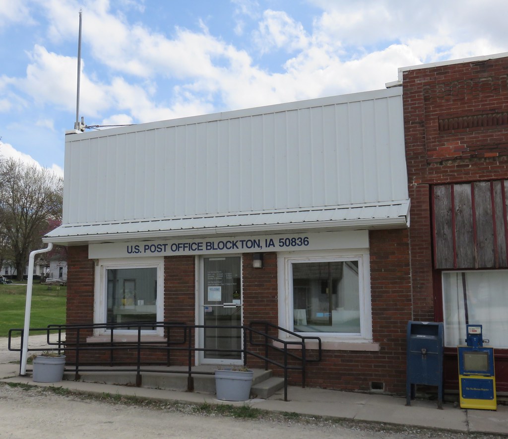
Post Office 50836 (Blockton, Iowa)
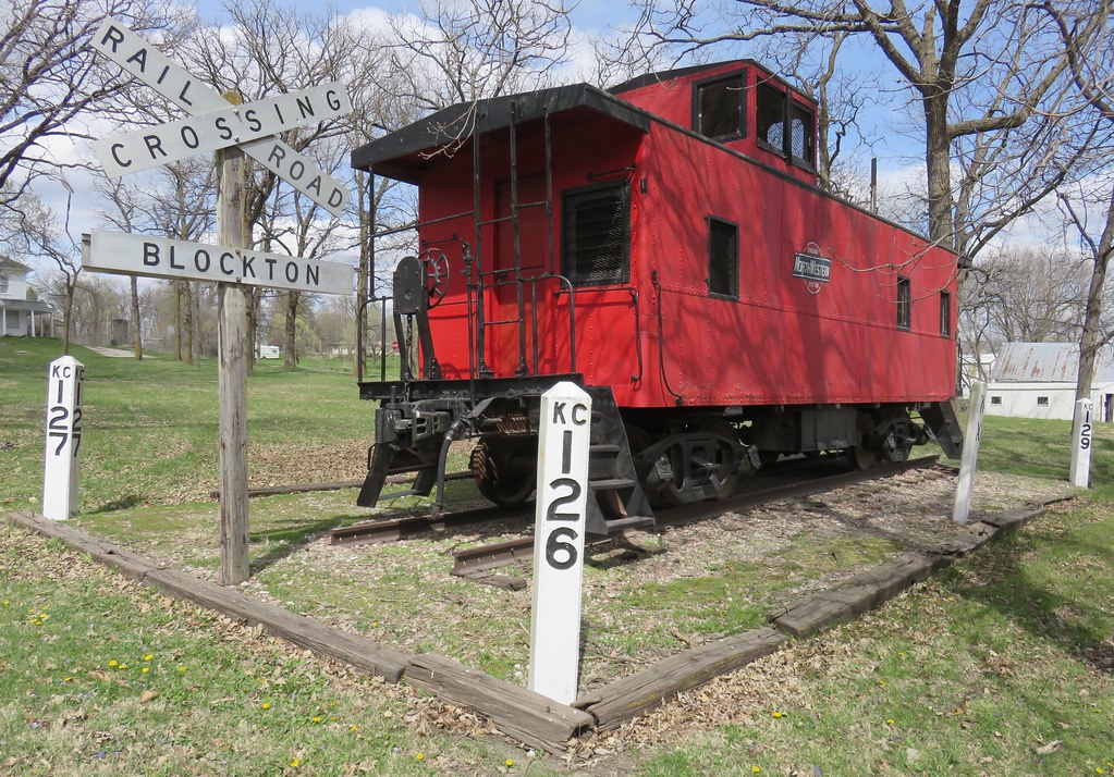
Old Northwestern Caboose (Blockton, Iowa)
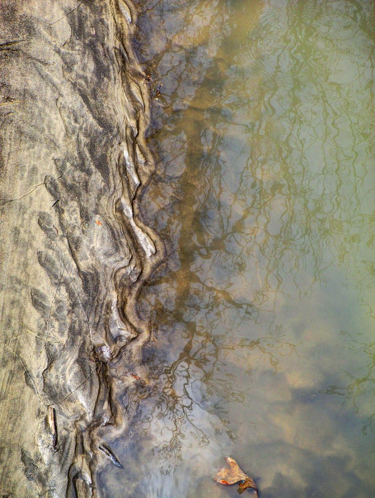
Nature's Curves

Tyra is Preggers. This is two days before she had the puppies.

3 Floyds Dark Lord Russian Imperial Stout

As in the days of Noah
Topographic Map of Sheridan, MO, USA
Find elevation by address:

Places near Sheridan, MO, USA:
2689 Stone Ave
Gay
Fletchall Township
404 W 4th St
Worth
E 1st St, Grant City, MO, USA
Grant City
Middlefork Township
22540 Mo-46
Benton
Marshall
Jefferson Township
Maloy
Carter St, Redding, IA, USA
Conception Junction
4th St, Conception Junction, MO, USA
Washington
Worth County
Nodaway County
Polk Township
Recent Searches:
- Elevation of Corso Fratelli Cairoli, 35, Macerata MC, Italy
- Elevation of Tallevast Rd, Sarasota, FL, USA
- Elevation of 4th St E, Sonoma, CA, USA
- Elevation of Black Hollow Rd, Pennsdale, PA, USA
- Elevation of Oakland Ave, Williamsport, PA, USA
- Elevation of Pedrógão Grande, Portugal
- Elevation of Klee Dr, Martinsburg, WV, USA
- Elevation of Via Roma, Pieranica CR, Italy
- Elevation of Tavkvetili Mountain, Georgia
- Elevation of Hartfords Bluff Cir, Mt Pleasant, SC, USA