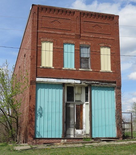
Elevation of Benton, IA, USA
Location: United States > Iowa > Ringgold County >
Longitude: -94.428498
Latitude: 40.6818268
Elevation: 340m / 1115feet
Barometric Pressure: 97KPa
Related Photos:
Topographic Map of Benton, IA, USA
Find elevation by address:

Places in Benton, IA, USA:
Places near Benton, IA, USA:
Maloy
Carter St, Redding, IA, USA
Gay
2689 Stone Ave
Fletchall Township
E 1st St, Grant City, MO, USA
Grant City
404 W 4th St
22540 Mo-46
Marshall
Smith Township
Worth County
Allendale
Jackson St, Allendale, MO, USA
Sheridan
Middlefork Township
Worth
Washington
Albany, MO, USA
1105 E Us Hwy 136
Recent Searches:
- Elevation of Corso Fratelli Cairoli, 35, Macerata MC, Italy
- Elevation of Tallevast Rd, Sarasota, FL, USA
- Elevation of 4th St E, Sonoma, CA, USA
- Elevation of Black Hollow Rd, Pennsdale, PA, USA
- Elevation of Oakland Ave, Williamsport, PA, USA
- Elevation of Pedrógão Grande, Portugal
- Elevation of Klee Dr, Martinsburg, WV, USA
- Elevation of Via Roma, Pieranica CR, Italy
- Elevation of Tavkvetili Mountain, Georgia
- Elevation of Hartfords Bluff Cir, Mt Pleasant, SC, USA
