Elevation of Maloy, IA, USA
Location: United States > Iowa > Ringgold County > Benton >
Longitude: -94.412181
Latitude: 40.6744348
Elevation: 337m / 1106feet
Barometric Pressure: 97KPa
Elevation Map:
Satellite Map:
Related Photos:
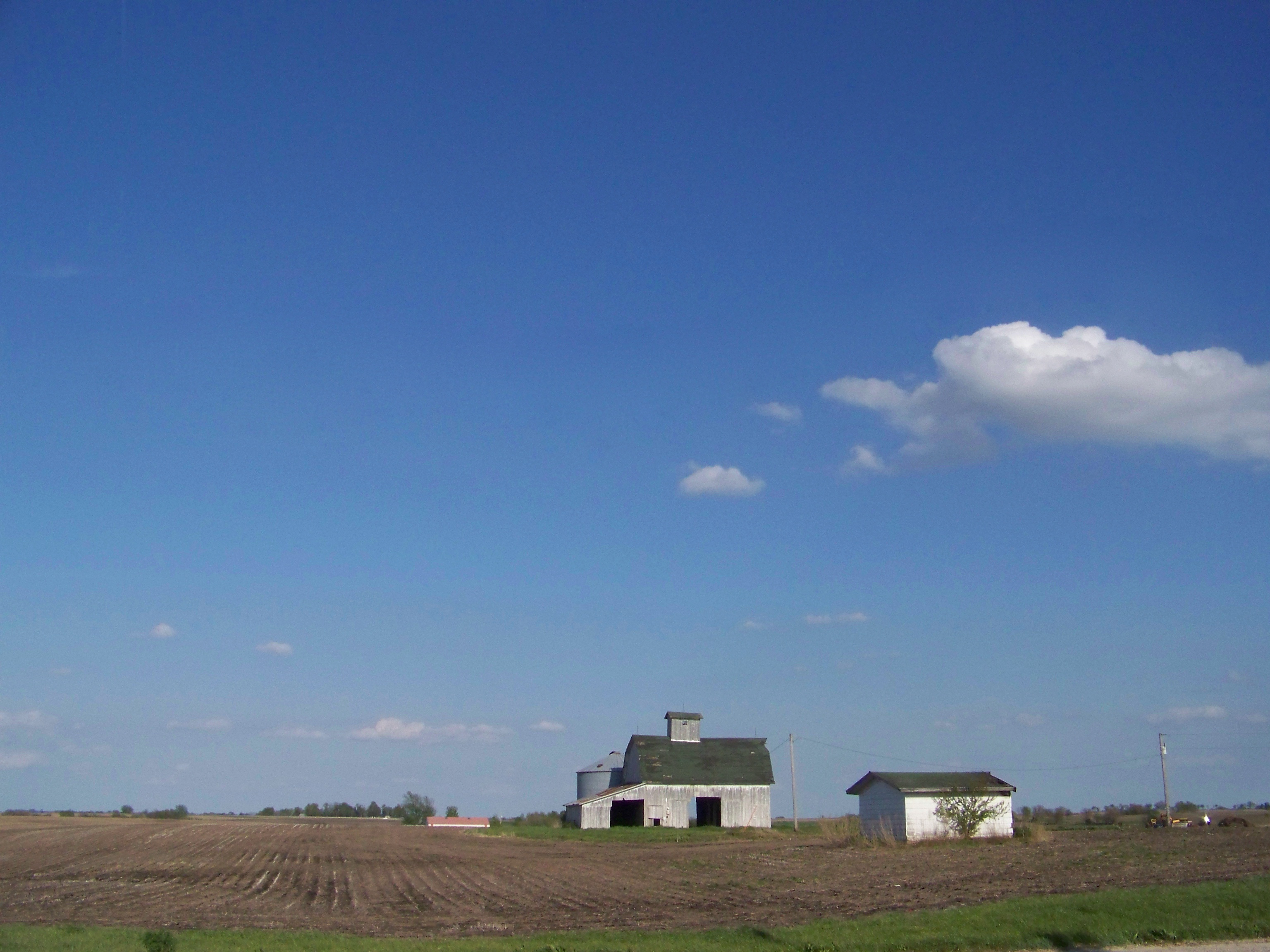
Iowa Sky

Ringgold County Courthouse (Mount Ayr, Iowa)

2012-08-31 19.37.44

RAGBRAI 2016

RAGBRAI 2016

RAGBRAI 2016

RAGBRAI 2016
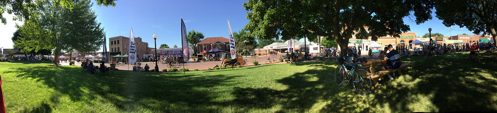
RAGBRAI 2016

RAGBRAI 2016

RAGBRAI 2016

RAGBRAI 2016

RAGBRAI 2016

Mount Ayrshire Iowa on Ragbrai 2016
IMG_4120.JPG
IMG_4119.JPG
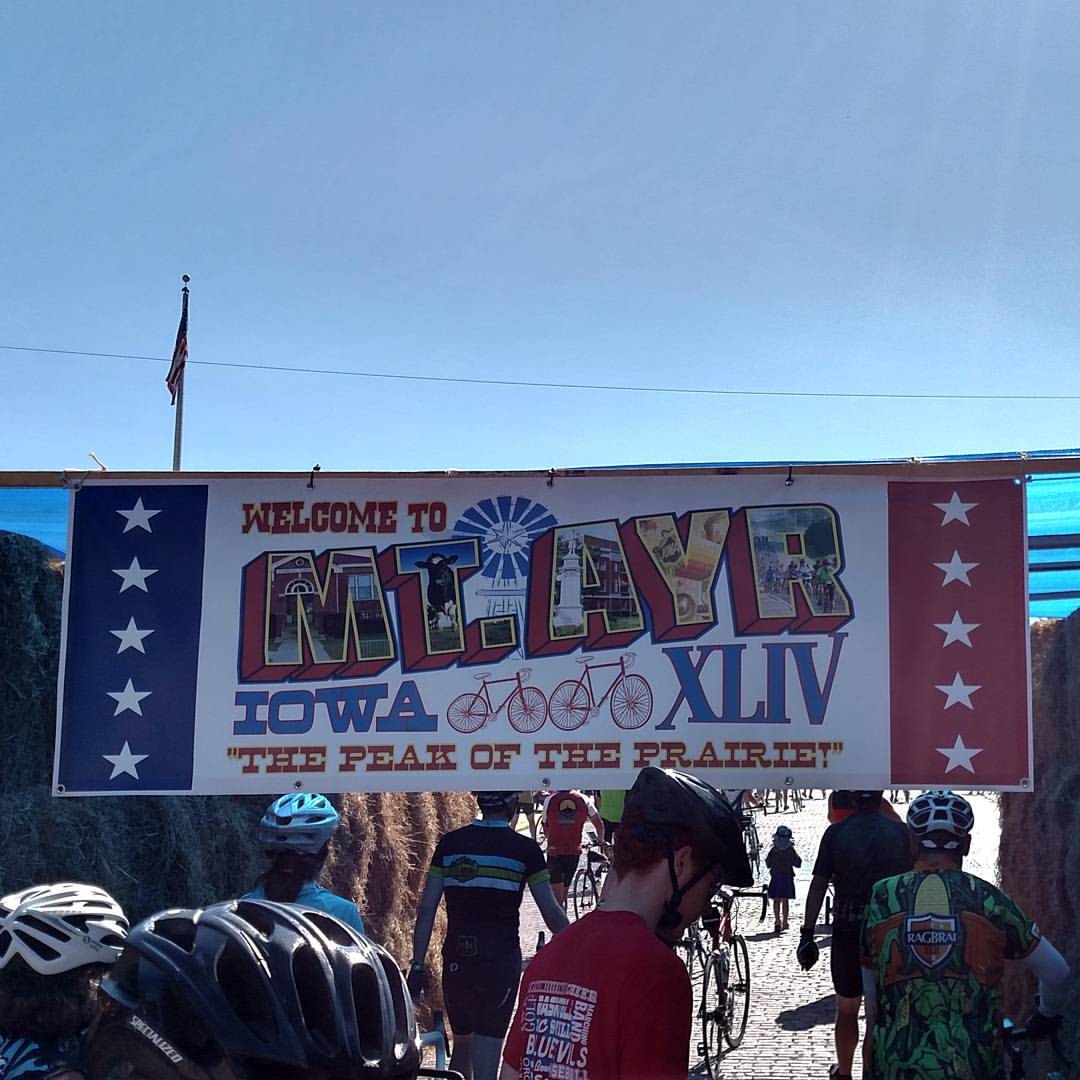
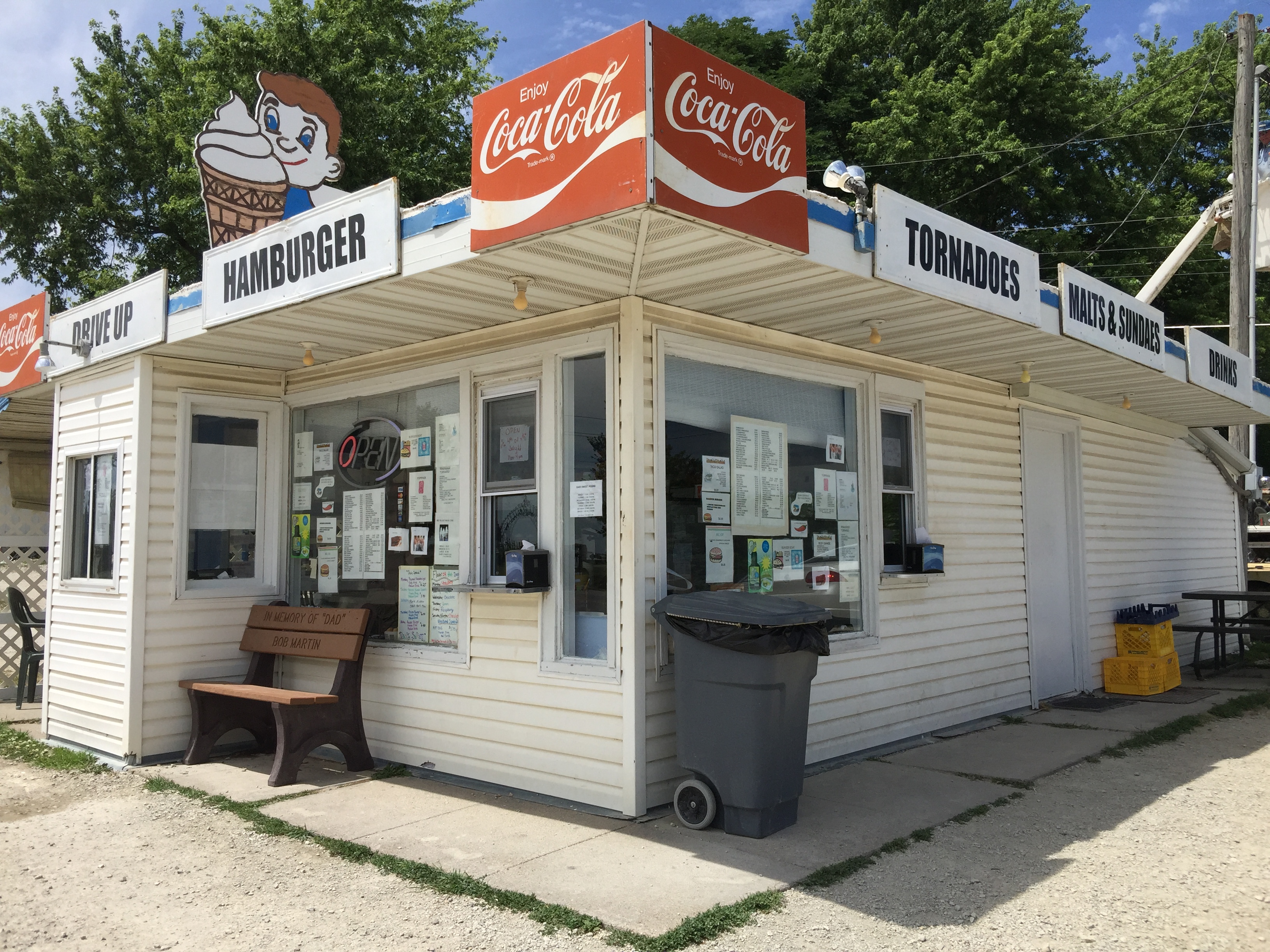
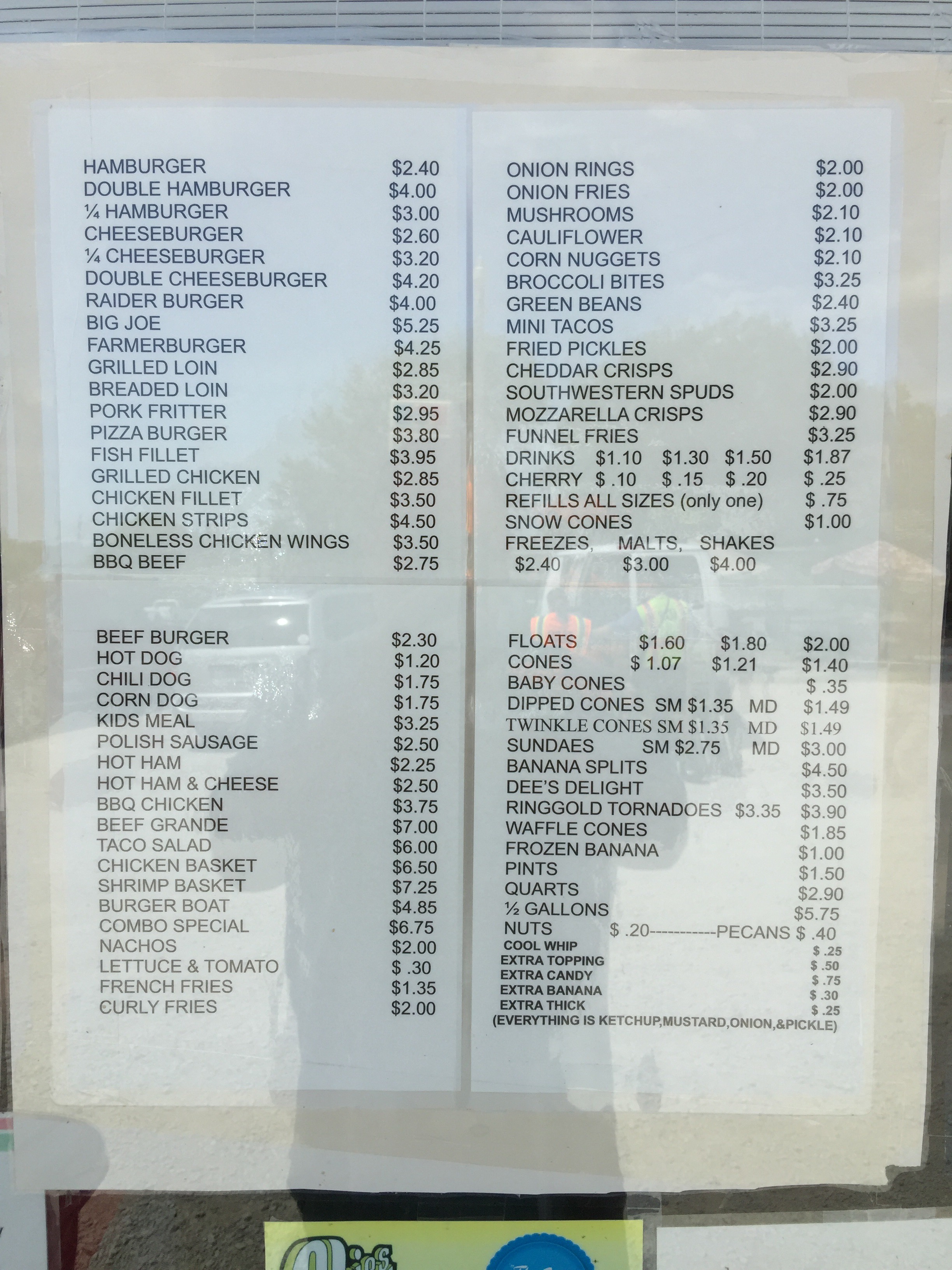
Beautiful day at the "peak." 1200 ft elevation. #cycling #mtayr #ragbrai #iowa
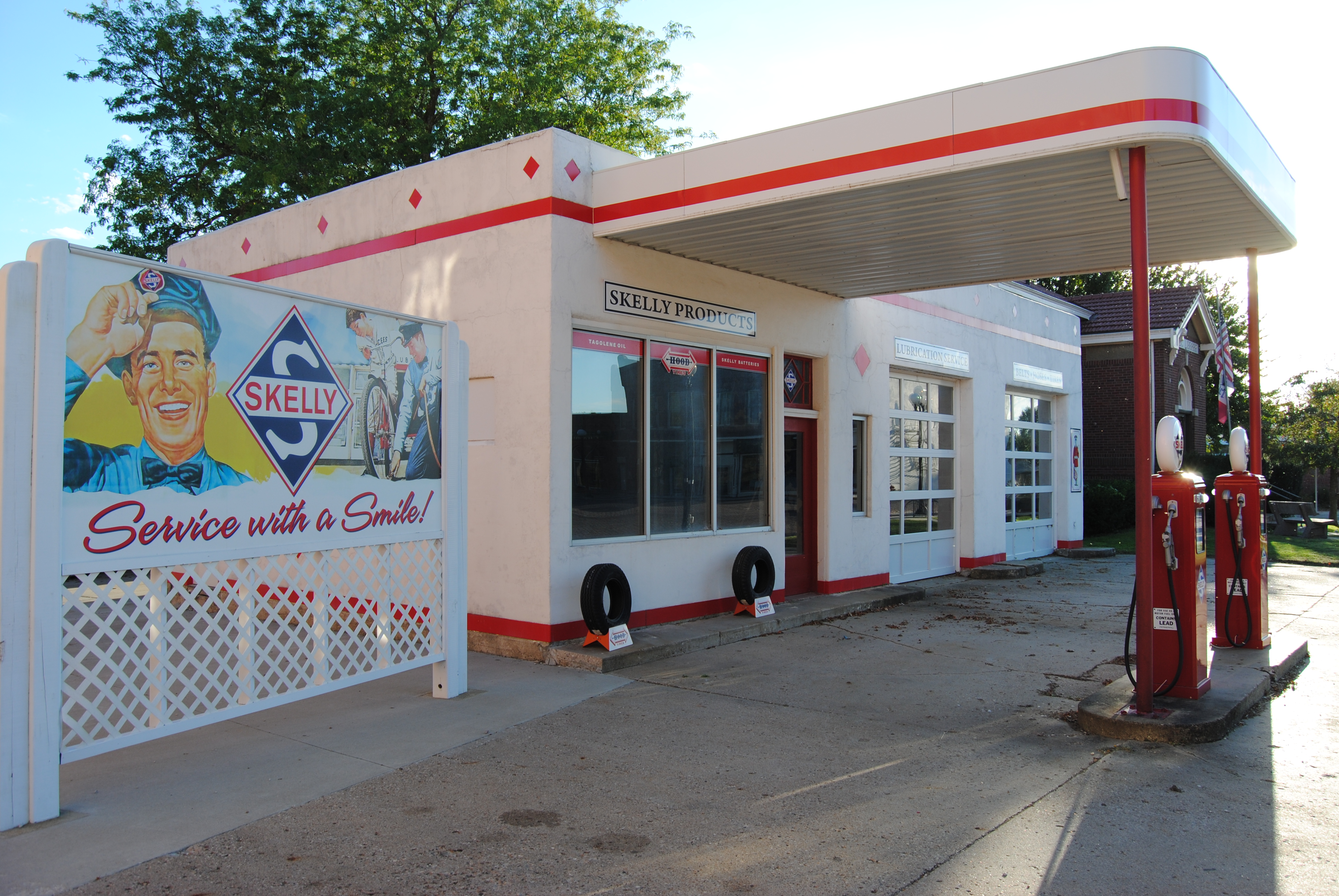
fill 'er up?
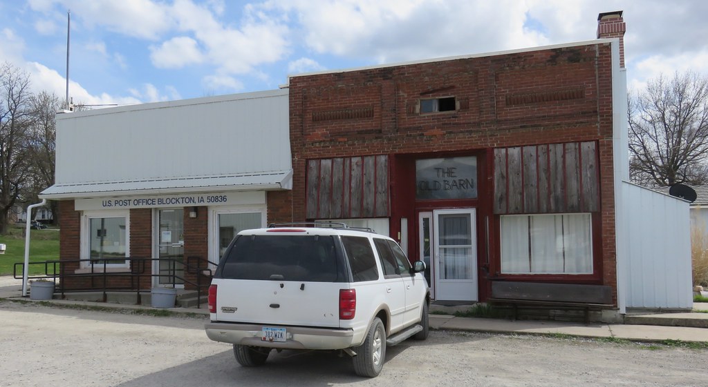
Post Office 50836 and Storefront (Blockton, Iowa)
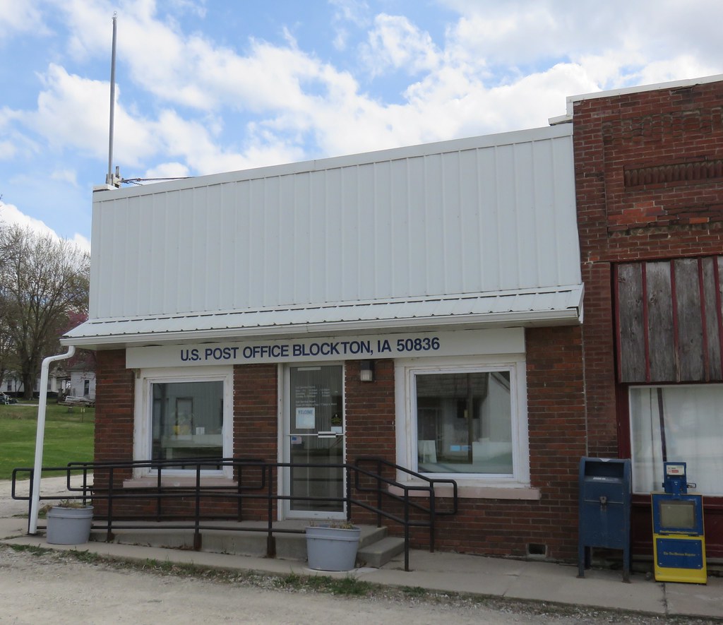
Post Office 50836 (Blockton, Iowa)
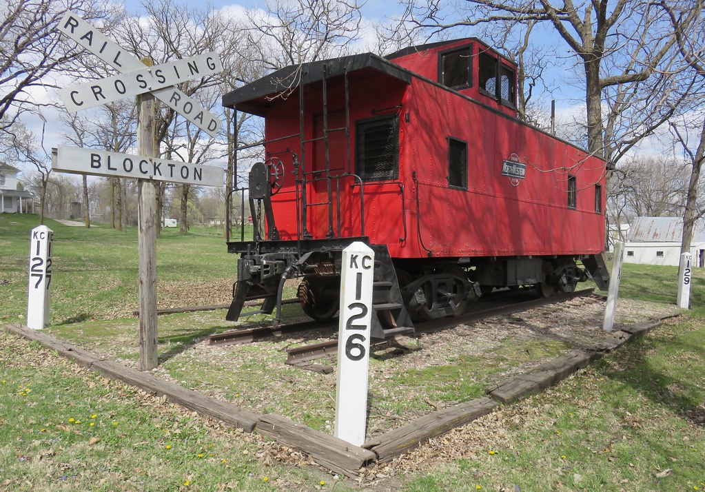
Old Northwestern Caboose (Blockton, Iowa)
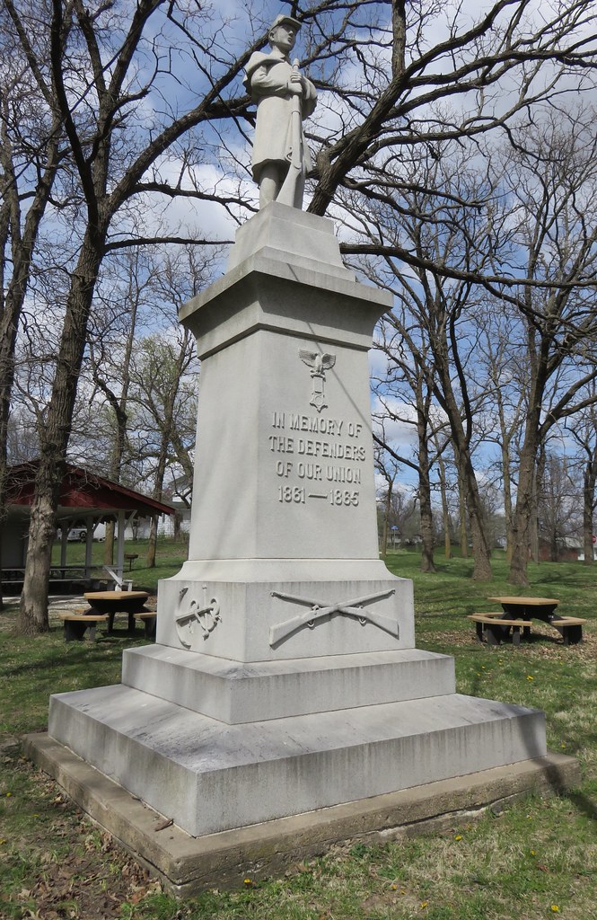
Taylor County Civil War Monument (Blockton, Iowa)
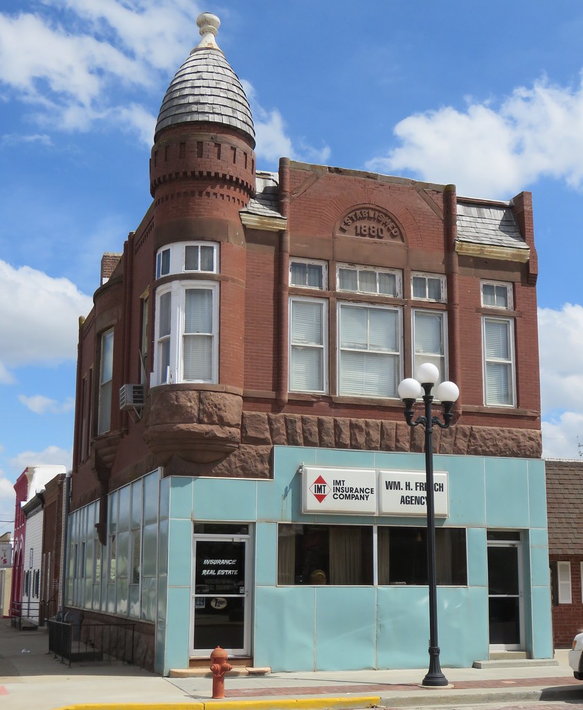
Old Corner Building (Mount Ayr, Iowa)
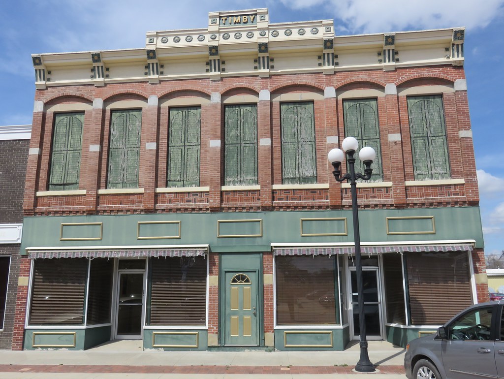
Timby Building (Mount Ayr, Iowa)
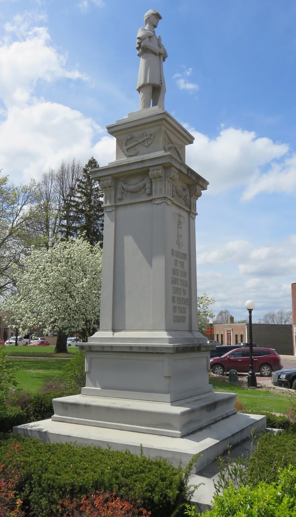
Ringgold County Civil War Monument (Mount Ayr, Iowa)
Topographic Map of Maloy, IA, USA
Find elevation by address:

Places in Maloy, IA, USA:
Places near Maloy, IA, USA:
Carter St, Redding, IA, USA
Benton
Gay
Fletchall Township
2689 Stone Ave
E 1st St, Grant City, MO, USA
Grant City
404 W 4th St
22540 Mo-46
Smith Township
Worth County
Allendale
Jackson St, Allendale, MO, USA
Marshall
Sheridan
Middlefork Township
Worth
Washington
Albany, MO, USA
1105 E Us Hwy 136
Recent Searches:
- Elevation of Corso Fratelli Cairoli, 35, Macerata MC, Italy
- Elevation of Tallevast Rd, Sarasota, FL, USA
- Elevation of 4th St E, Sonoma, CA, USA
- Elevation of Black Hollow Rd, Pennsdale, PA, USA
- Elevation of Oakland Ave, Williamsport, PA, USA
- Elevation of Pedrógão Grande, Portugal
- Elevation of Klee Dr, Martinsburg, WV, USA
- Elevation of Via Roma, Pieranica CR, Italy
- Elevation of Tavkvetili Mountain, Georgia
- Elevation of Hartfords Bluff Cir, Mt Pleasant, SC, USA