Elevation of Sheridan, KS, USA
Location: United States > Kansas > Cherokee County >
Longitude: -94.997446
Latitude: 37.256152
Elevation: 267m / 876feet
Barometric Pressure: 98KPa
Elevation Map:
Satellite Map:
Related Photos:

Profile View

Big Brutus, 3/4 View

View from the cab

view from the bluff

view from the bluff

good morning Oswego Kansas
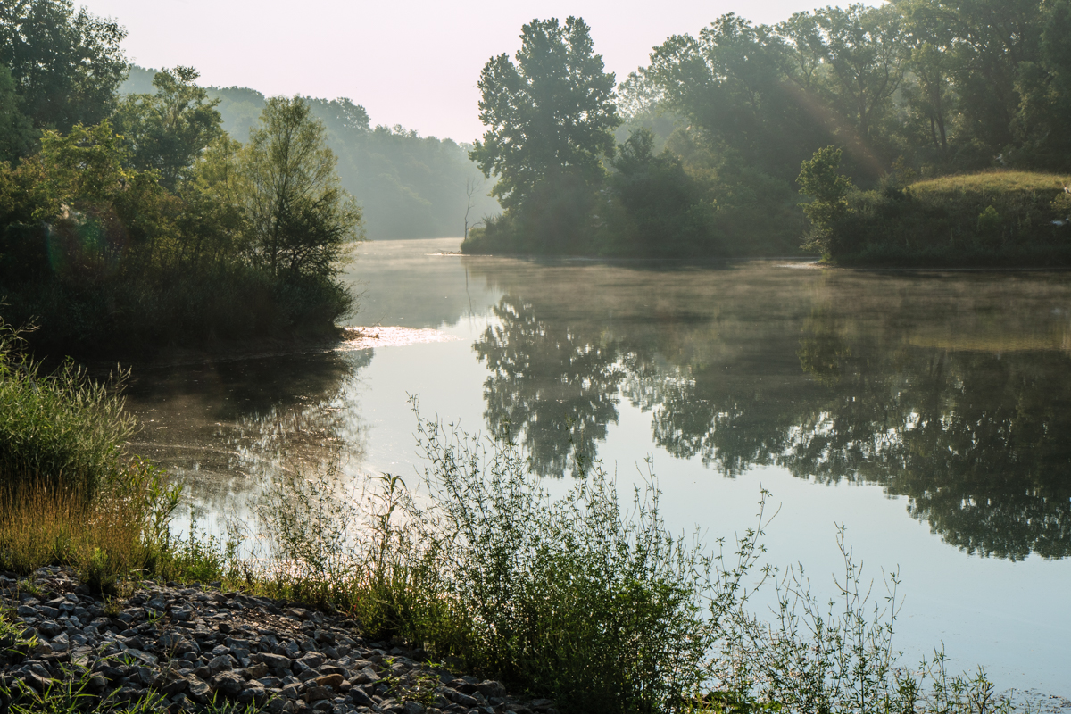
Stink Branch at Sherman City

strip pit

cows waiting for sunrise

big brutus at sunrise

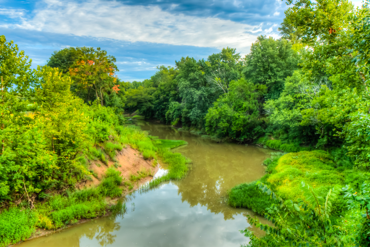
Neosho River from Riverside Park

Riverside Park overlook
strip pit

Big Brutus

Kansas Wildlife & Parks
Topographic Map of Sheridan, KS, USA
Find elevation by address:

Places in Sheridan, KS, USA:
Places near Sheridan, KS, USA:
Friendship Church
SW Snowbird Ln, Columbus, KS, USA
Lola Township
Osage Orange Llc
12695 Nw Coal Valley Rd
Mccune
Salamanca
Rowdy's Rustic Moose Lodge
28 NE Turkey Ln, Columbus, KS, USA
Scammon
Pennsylvania, Columbus, KS, USA
Columbus
3rd St, Scammon, KS, USA
Sheridan
Hackberry St, Oswego, KS, USA
Labette
Neosho
Mineral
E Pine St, Cherokee, KS, USA
Liberty
Recent Searches:
- Elevation of Corso Fratelli Cairoli, 35, Macerata MC, Italy
- Elevation of Tallevast Rd, Sarasota, FL, USA
- Elevation of 4th St E, Sonoma, CA, USA
- Elevation of Black Hollow Rd, Pennsdale, PA, USA
- Elevation of Oakland Ave, Williamsport, PA, USA
- Elevation of Pedrógão Grande, Portugal
- Elevation of Klee Dr, Martinsburg, WV, USA
- Elevation of Via Roma, Pieranica CR, Italy
- Elevation of Tavkvetili Mountain, Georgia
- Elevation of Hartfords Bluff Cir, Mt Pleasant, SC, USA