Elevation of 3rd St, Scammon, KS, USA
Location: United States > Kansas > Cherokee County > Scammon >
Longitude: -94.822044
Latitude: 37.2776084
Elevation: 276m / 906feet
Barometric Pressure: 98KPa
Elevation Map:
Satellite Map:
Related Photos:

Lunar Love
Profile View
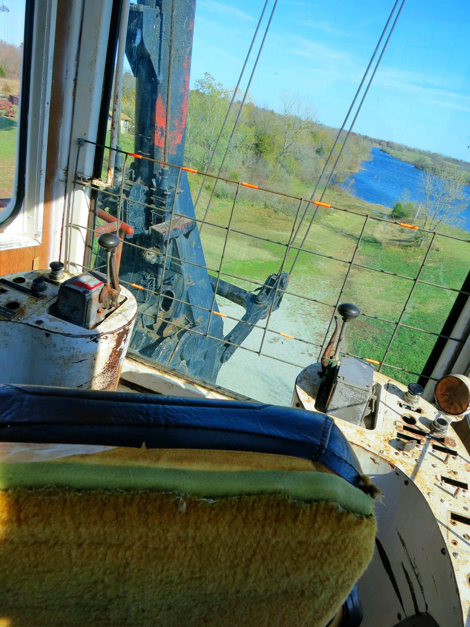
View from the cab

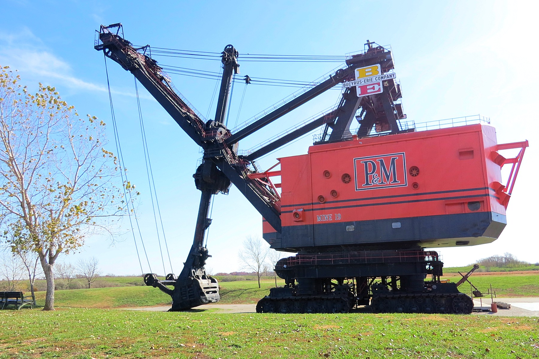
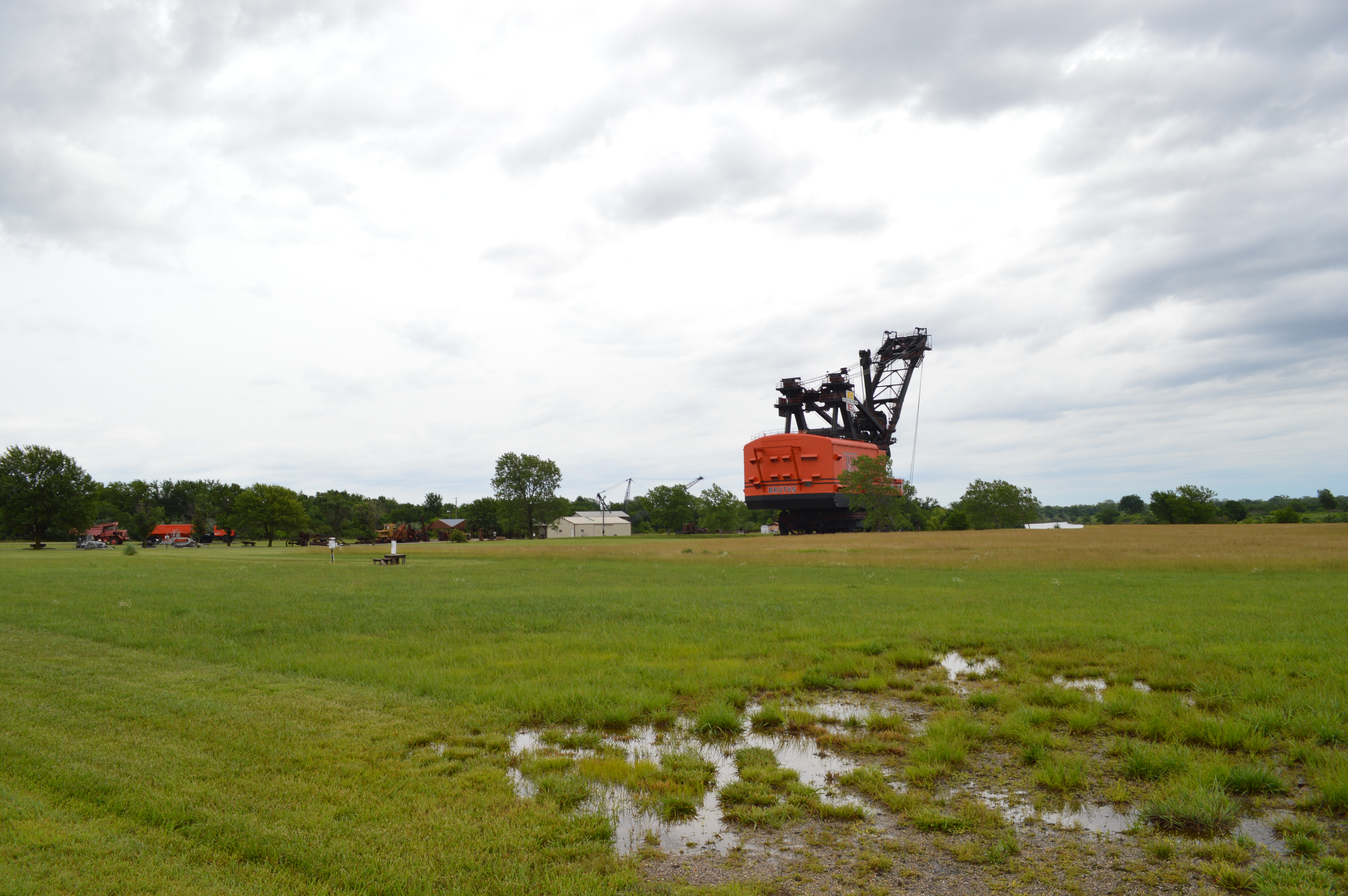
Big Brutus, 3/4 View

208/365 Forrest fire being put out

Rain Storm - Pittsburg, KS
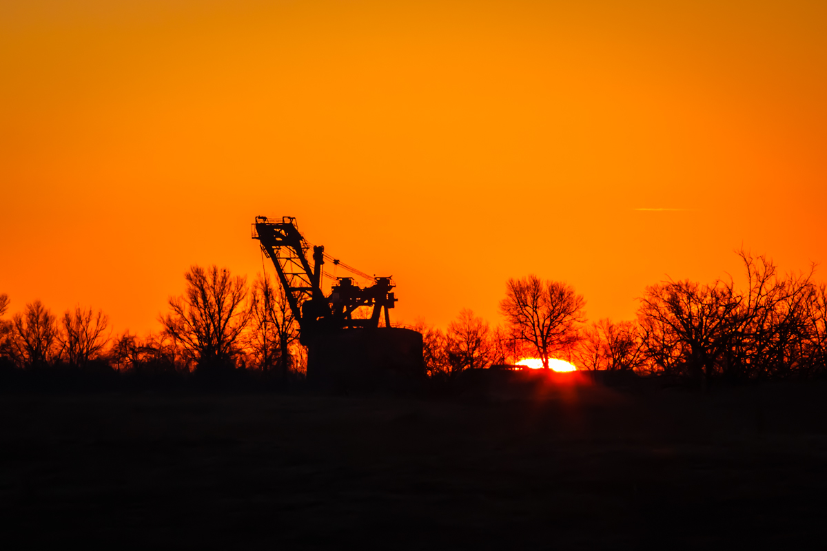
big brutus at sunrise
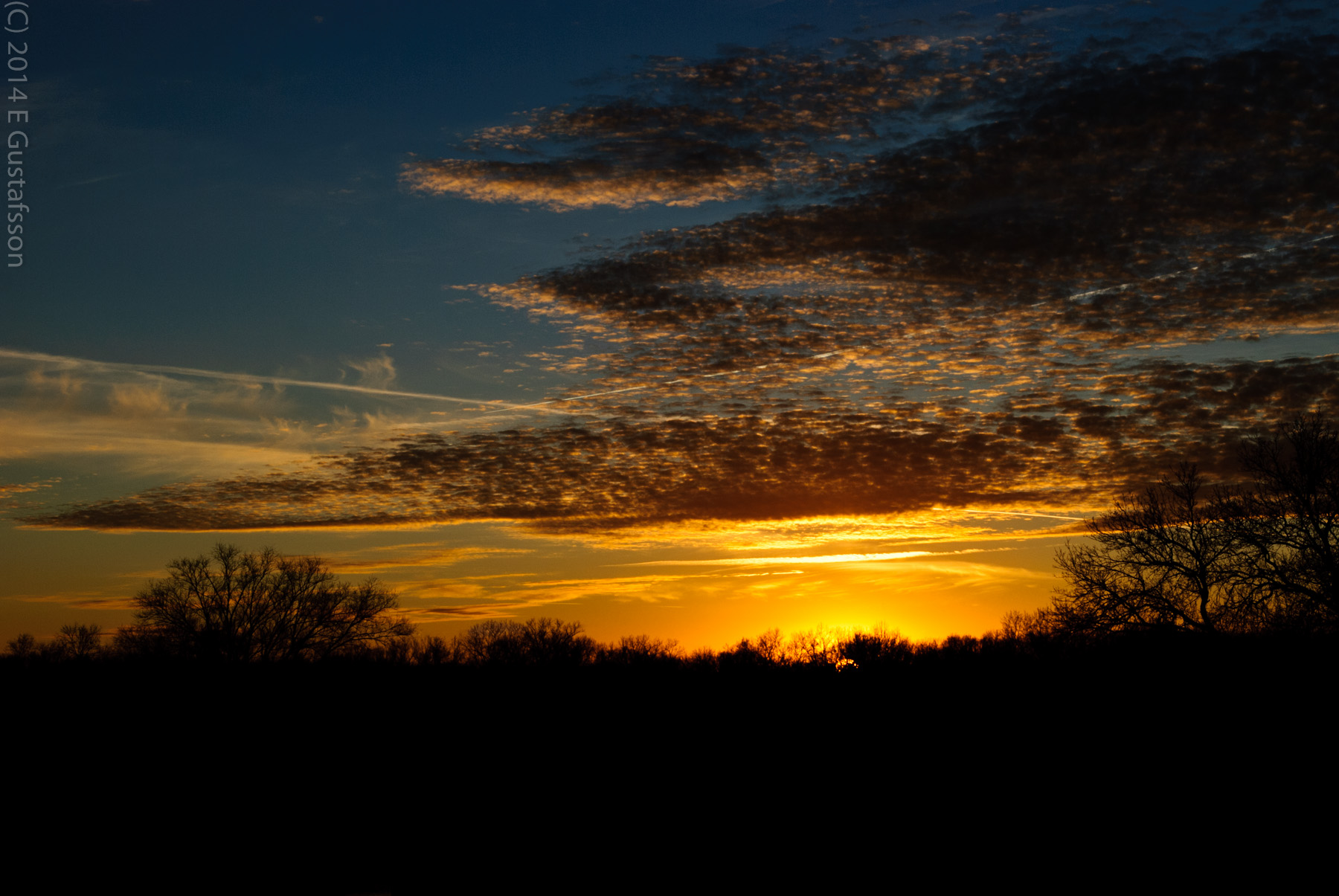
216/365 Another Sunset
Big Brutus

Water Rescue
Kansas Wildlife & Parks
low water crossing
Topographic Map of 3rd St, Scammon, KS, USA
Find elevation by address:

Places near 3rd St, Scammon, KS, USA:
Scammon
Weir
E Main St, Weir, KS, USA
E Pine St, Cherokee, KS, USA
Cherokee
E th Ave, Pittsburg, KS, USA
E th Ave, Pittsburg, KS, USA
Sheridan
E Craig Rd, Pittsburg, KS, USA
Baker
1163 S 220th St
1163 S 220th St
704 E 530th Ave
Pleasant View
1605 S College St
1608 S Olive St
St. Pius X Catholic
1104 Pinnacle Dr
402 N Smith St
712 W 1st St
Recent Searches:
- Elevation of Corso Fratelli Cairoli, 35, Macerata MC, Italy
- Elevation of Tallevast Rd, Sarasota, FL, USA
- Elevation of 4th St E, Sonoma, CA, USA
- Elevation of Black Hollow Rd, Pennsdale, PA, USA
- Elevation of Oakland Ave, Williamsport, PA, USA
- Elevation of Pedrógão Grande, Portugal
- Elevation of Klee Dr, Martinsburg, WV, USA
- Elevation of Via Roma, Pieranica CR, Italy
- Elevation of Tavkvetili Mountain, Georgia
- Elevation of Hartfords Bluff Cir, Mt Pleasant, SC, USA