Elevation of Columbus, KS, USA
Location: United States > Kansas > Cherokee County >
Longitude: -94.844123
Latitude: 37.1692278
Elevation: 276m / 906feet
Barometric Pressure: 98KPa
Elevation Map:
Satellite Map:
Related Photos:

Light Wings
Profile View
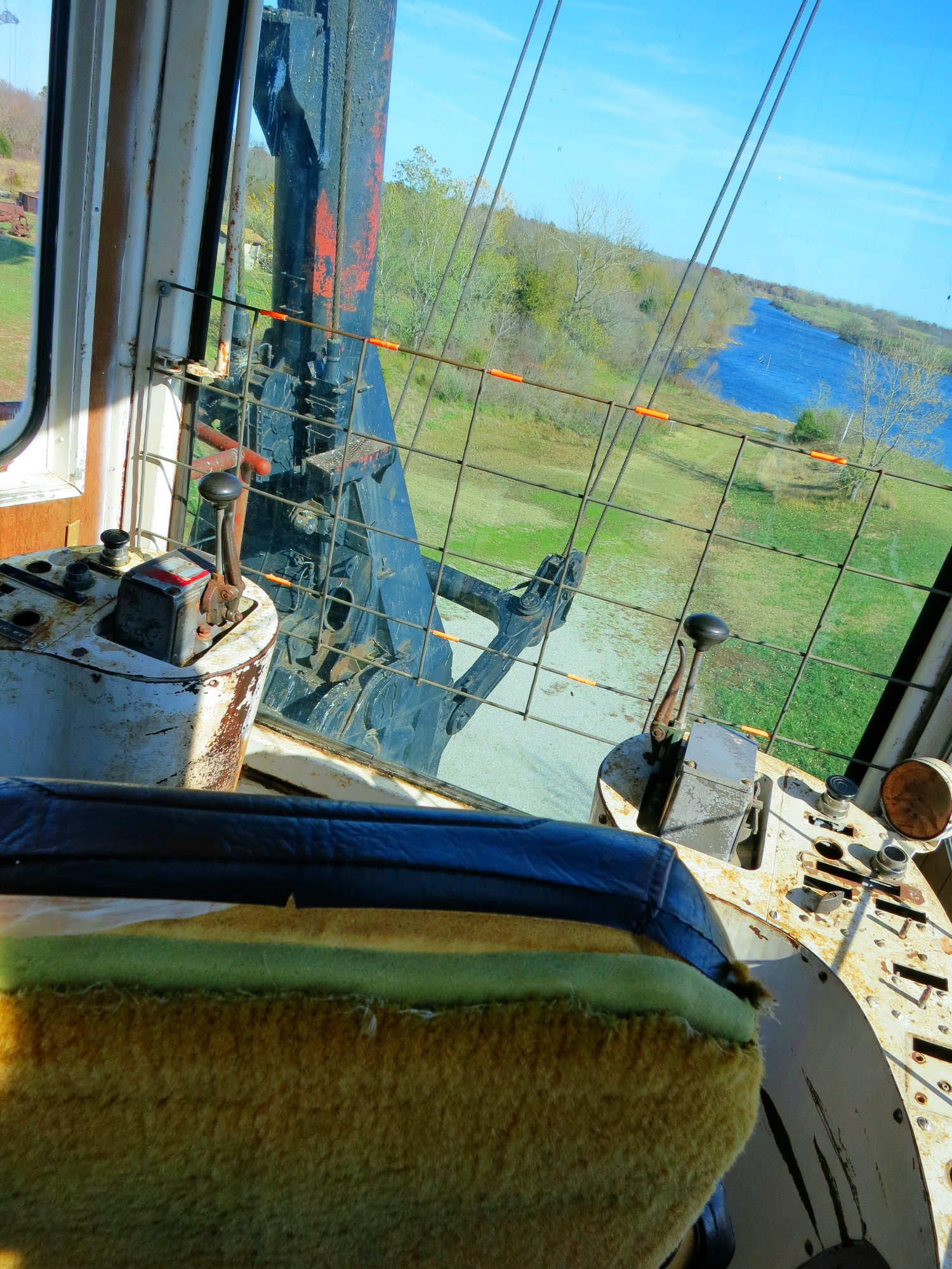
View from the cab

Route 66_2005May17_14

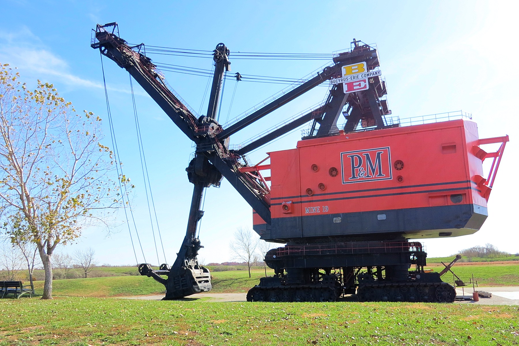
Big Brutus, 3/4 View

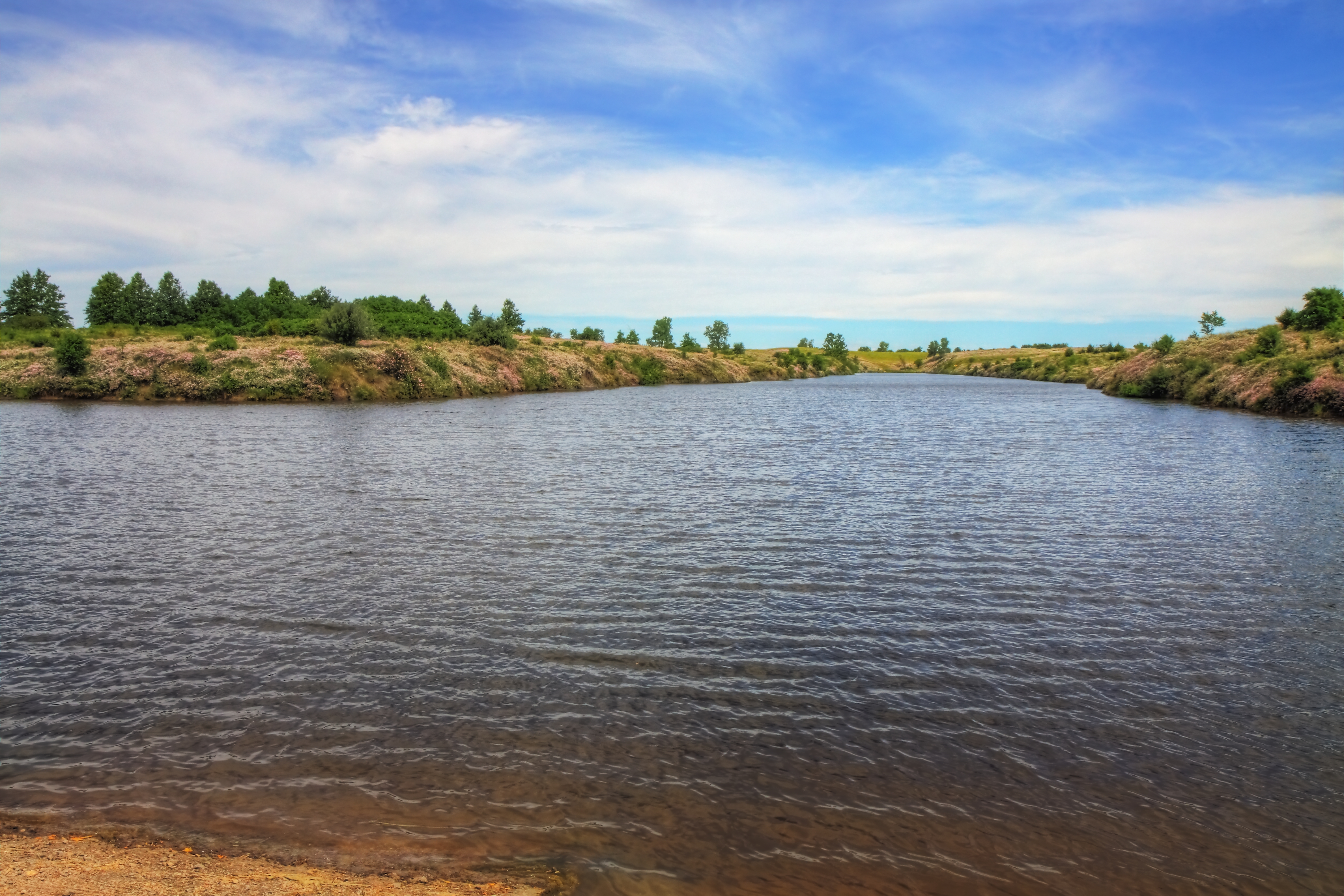
low water crossing

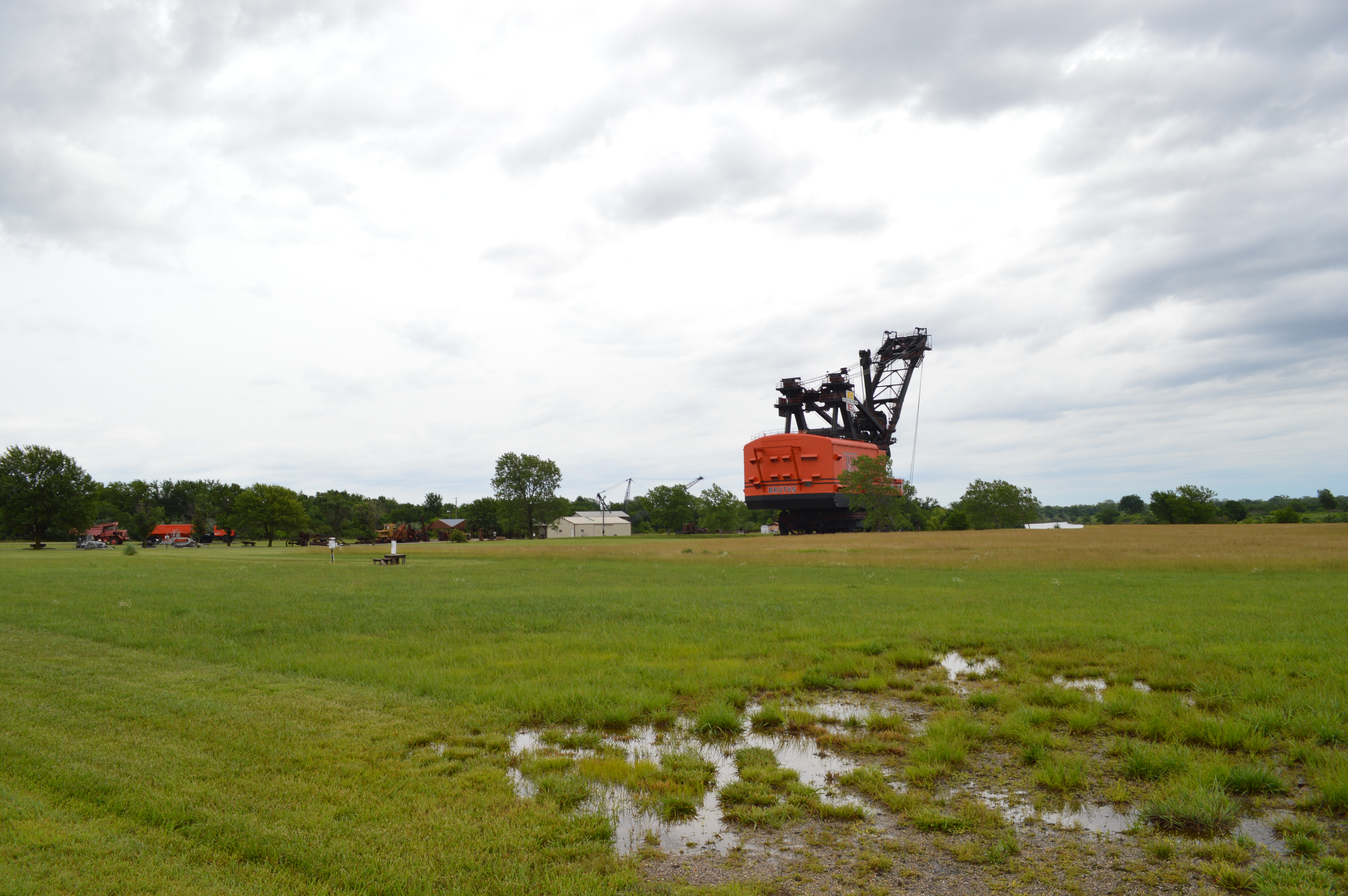
big brutus at sunrise

Along Old Route 66

Along Old Route 66
Big Brutus

Water Rescue

Along Route 66
Kansas Wildlife & Parks

Along Old Route 66
Topographic Map of Columbus, KS, USA
Find elevation by address:

Places in Columbus, KS, USA:
Places near Columbus, KS, USA:
Pennsylvania, Columbus, KS, USA
Rowdy's Rustic Moose Lodge
28 NE Turkey Ln, Columbus, KS, USA
Cherokee County
Salamanca
SE 25th St, Columbus, KS, USA
Mineral
Scammon
3rd St, Scammon, KS, USA
Lyon
Spring Valley
Fox 14
Lola Township
SW Snowbird Ln, Columbus, KS, USA
Weir
E Main St, Weir, KS, USA
SW 50th St, Baxter Springs, KS, USA
7249 Se 68th St
Riverton
901 W 12th St
Recent Searches:
- Elevation of Corso Fratelli Cairoli, 35, Macerata MC, Italy
- Elevation of Tallevast Rd, Sarasota, FL, USA
- Elevation of 4th St E, Sonoma, CA, USA
- Elevation of Black Hollow Rd, Pennsdale, PA, USA
- Elevation of Oakland Ave, Williamsport, PA, USA
- Elevation of Pedrógão Grande, Portugal
- Elevation of Klee Dr, Martinsburg, WV, USA
- Elevation of Via Roma, Pieranica CR, Italy
- Elevation of Tavkvetili Mountain, Georgia
- Elevation of Hartfords Bluff Cir, Mt Pleasant, SC, USA