Elevation of Sheridan, IA, USA
Location: United States > Iowa > Carroll County >
Longitude: -94.789873
Latitude: 42.1562208
Elevation: 364m / 1194feet
Barometric Pressure: 97KPa
Elevation Map:
Satellite Map:
Related Photos:
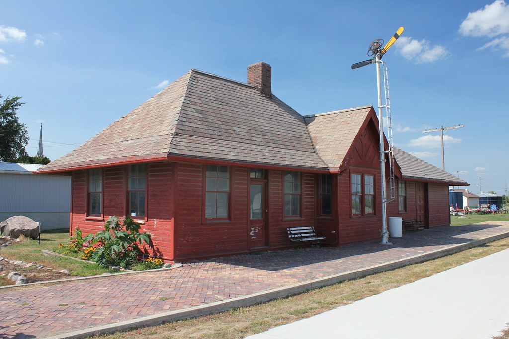
Chicago & North Western Railroad Depot - Breda, IA

Dead pigs

Union Pacific Environmental Ad?

Swan Lake July 2016 (1)

Swan Lake July 2016 (2)
Blue Steel took a picture!

Western Iowa Landscape (Sac County, Iowa)

Iowa Spring Sunset

Mom and Dad and our brood

Murphy and Mom and Dad (11)

Murphy and Doug Oct 2016

Doug sleeping Sept 2016

Sept 9 2016

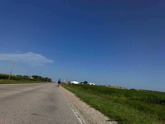
2005 Ford Crown Victoria on county road
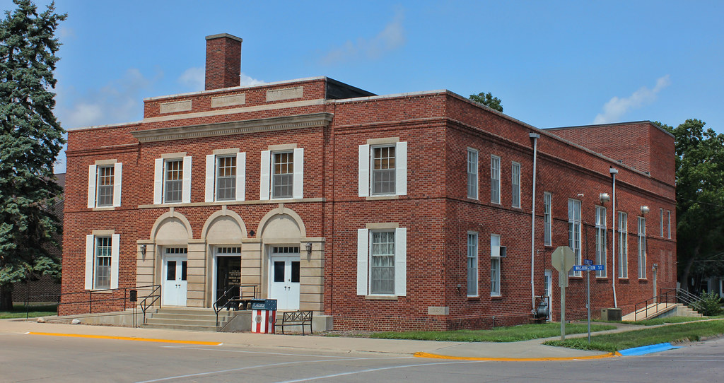
Community Memorial Building - Lake City, IA
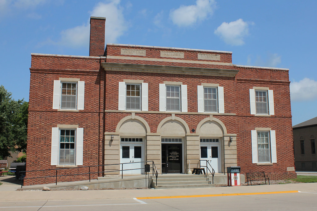
Community Memorial Building - Lake City, IA
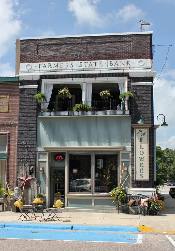
Farmers State Bank Building - Lake City, IA

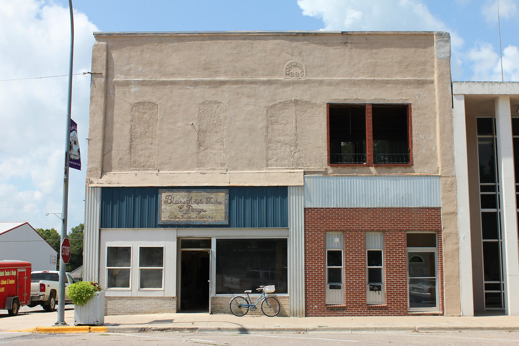
Downtown Building - Lake City, IA
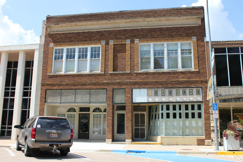
L.F. Danforth Building - Lake City, IA

Central School - Lake City, IA
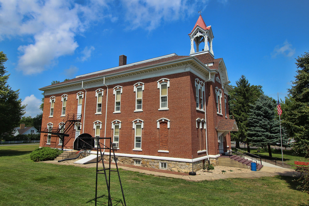
Central School - Lake City, IA
Downtown Building - Lake City, IA
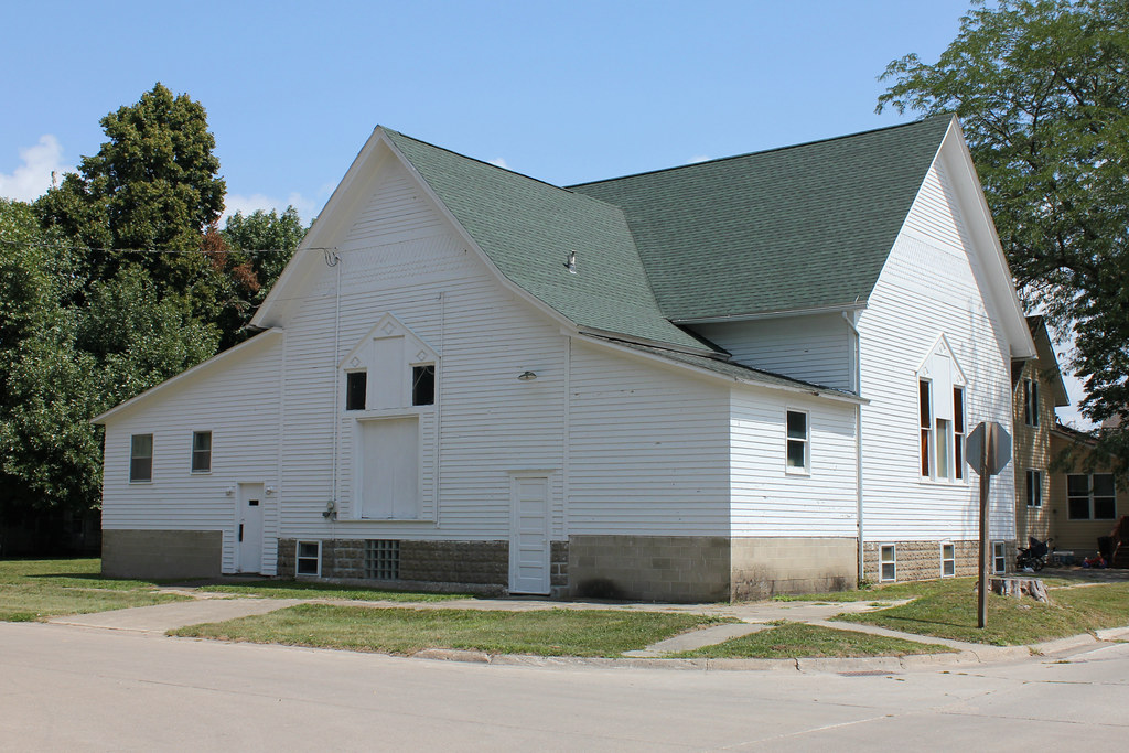
United Brethren Church (Former) - Lake City, IA

Carnegie Library - Lake City, IA
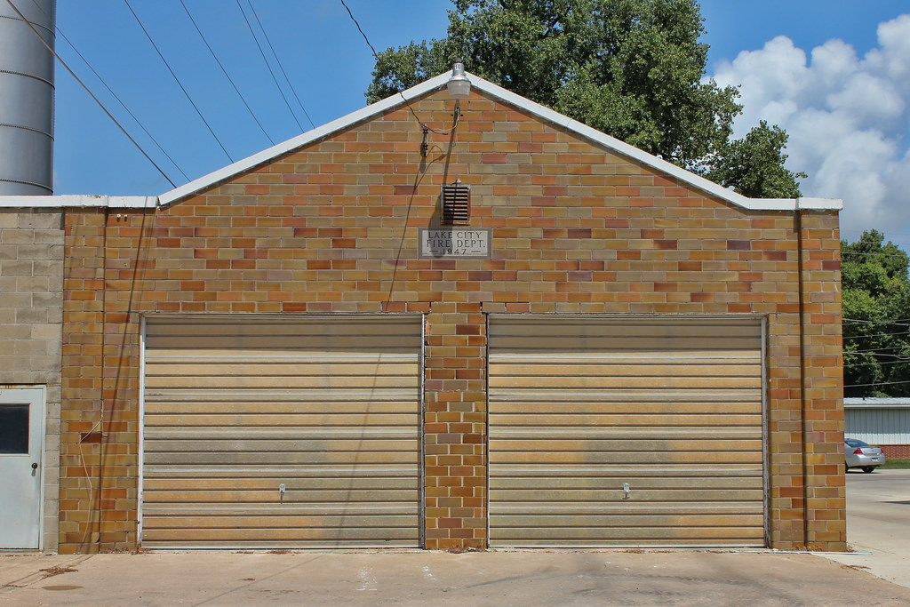
Fire Station (Former) - Lake City, IA
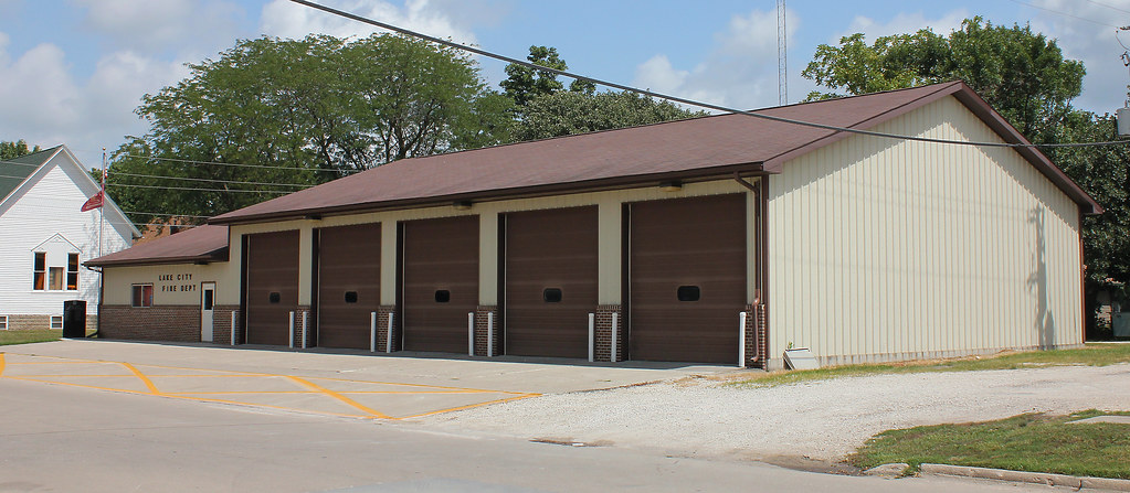
Fire Station - Lake City, IA

Loading my cool vest for lawn mowing

Julie, Mary and sisters July 2016 (1)

Julie, Mary and sisters July 2016 (2)
Topographic Map of Sheridan, IA, USA
Find elevation by address:

Places in Sheridan, IA, USA:
Places near Sheridan, IA, USA:
1st St, Carroll, IA, USA
Lidderdale
th St, Carroll, IA, USA
Jasper
Carroll County
Lanesboro
Heitland St, Lake City, IA, USA
Glidden
Glidden
S Idaho St, Glidden, IA, USA
E 6th St, Carroll, IA, USA
Carroll
Ann Marie Riat, Pt
23508 220th St
16197 Ivy Ave
Maple River
Guthrie St, Carroll, IA, USA
Pleasant Valley
Willey
th St, Carroll, IA, USA
Recent Searches:
- Elevation of Corso Fratelli Cairoli, 35, Macerata MC, Italy
- Elevation of Tallevast Rd, Sarasota, FL, USA
- Elevation of 4th St E, Sonoma, CA, USA
- Elevation of Black Hollow Rd, Pennsdale, PA, USA
- Elevation of Oakland Ave, Williamsport, PA, USA
- Elevation of Pedrógão Grande, Portugal
- Elevation of Klee Dr, Martinsburg, WV, USA
- Elevation of Via Roma, Pieranica CR, Italy
- Elevation of Tavkvetili Mountain, Georgia
- Elevation of Hartfords Bluff Cir, Mt Pleasant, SC, USA