Elevation of Lanesboro, IA, USA
Location: United States > Iowa > Carroll County > Jasper >
Longitude: -94.691368
Latitude: 42.1844279
Elevation: 349m / 1145feet
Barometric Pressure: 97KPa
Elevation Map:
Satellite Map:
Related Photos:

Dead pigs

Western Iowa Landscape (Sac County, Iowa)

Iowa Spring Sunset

2005 Ford Crown Victoria on county road
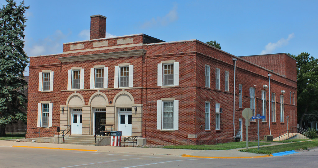
Community Memorial Building - Lake City, IA
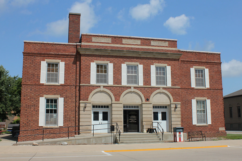
Community Memorial Building - Lake City, IA
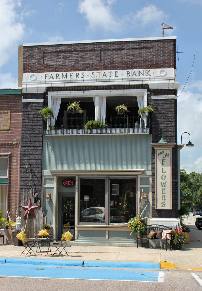
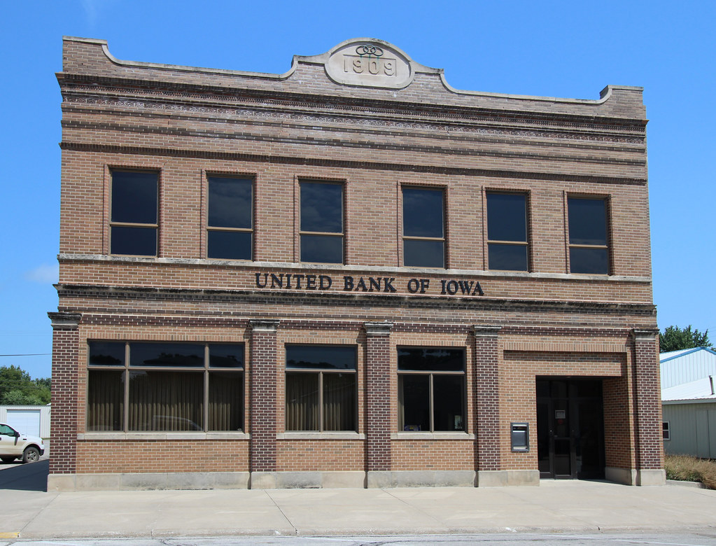
Farmers State Bank Building - Lake City, IA

Downtown Building - Lake City, IA
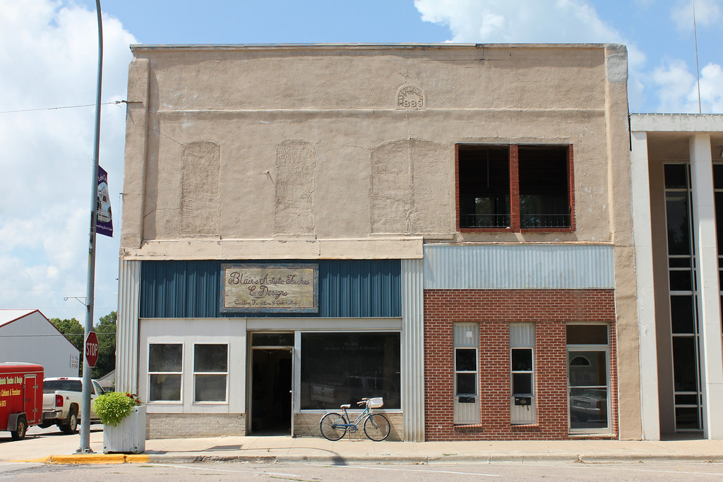
L.F. Danforth Building - Lake City, IA

Central School - Lake City, IA
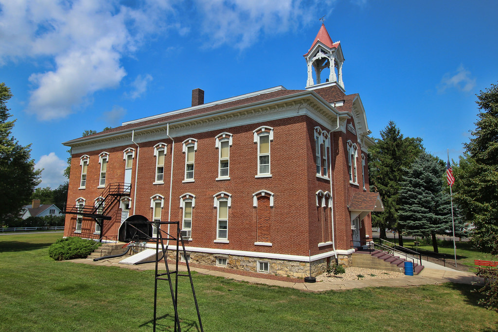
Central School - Lake City, IA
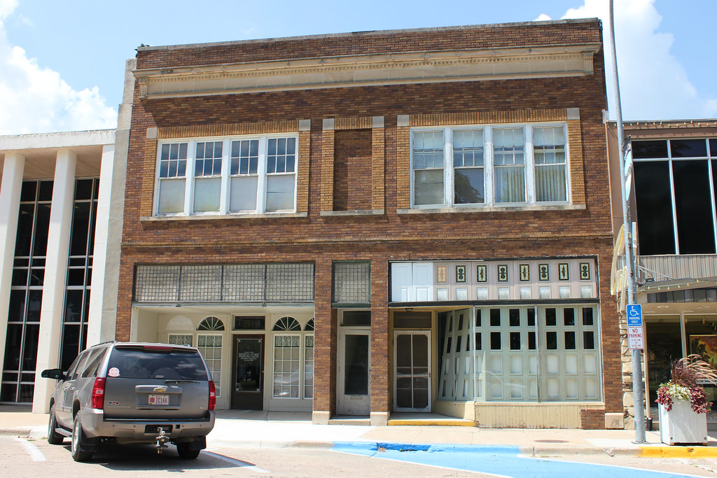
Downtown Building - Lake City, IA
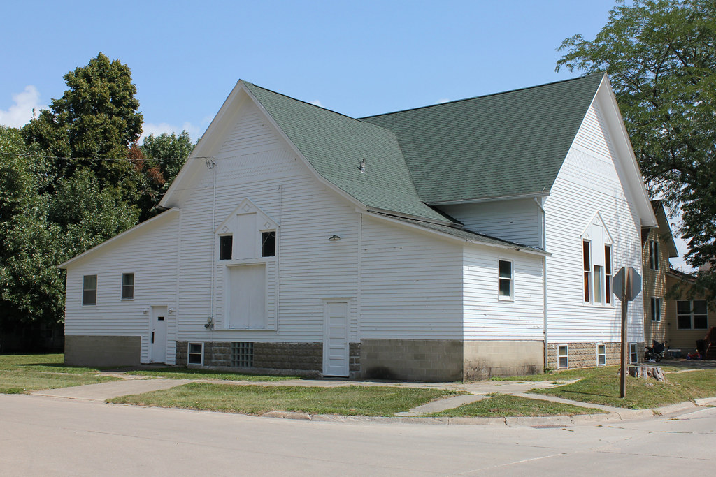
United Brethren Church (Former) - Lake City, IA

Carnegie Library - Lake City, IA
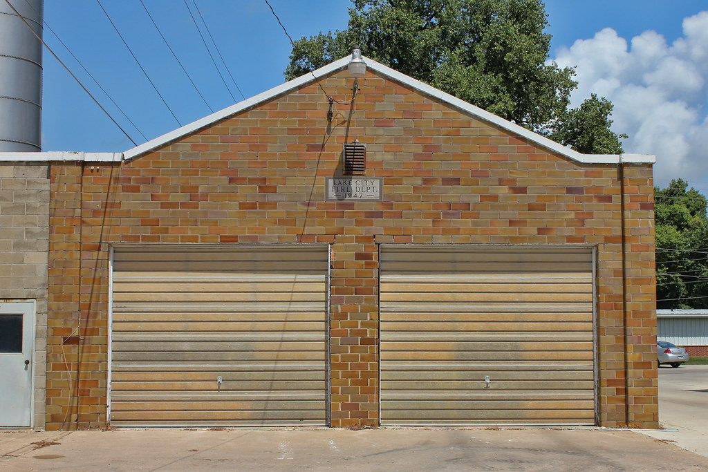
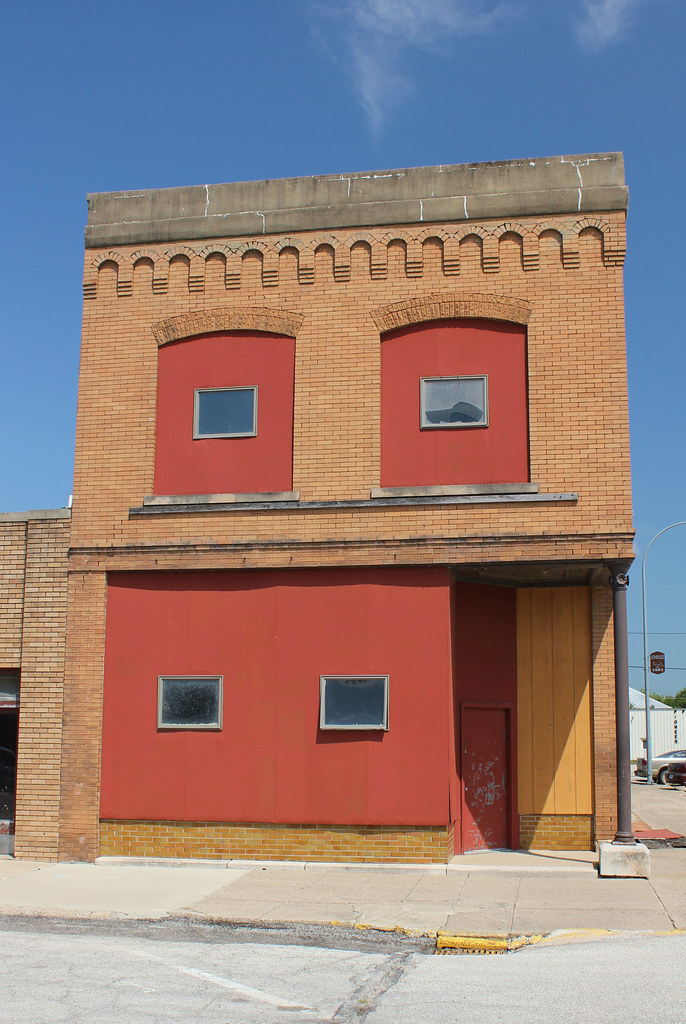
Fire Station (Former) - Lake City, IA
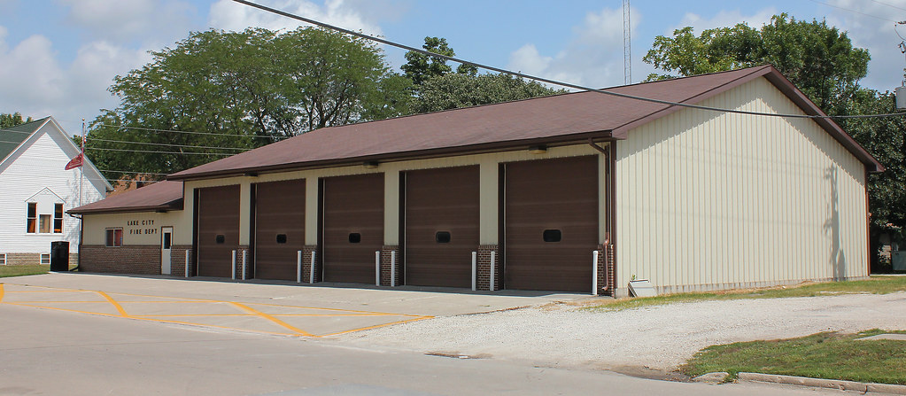
Fire Station - Lake City, IA
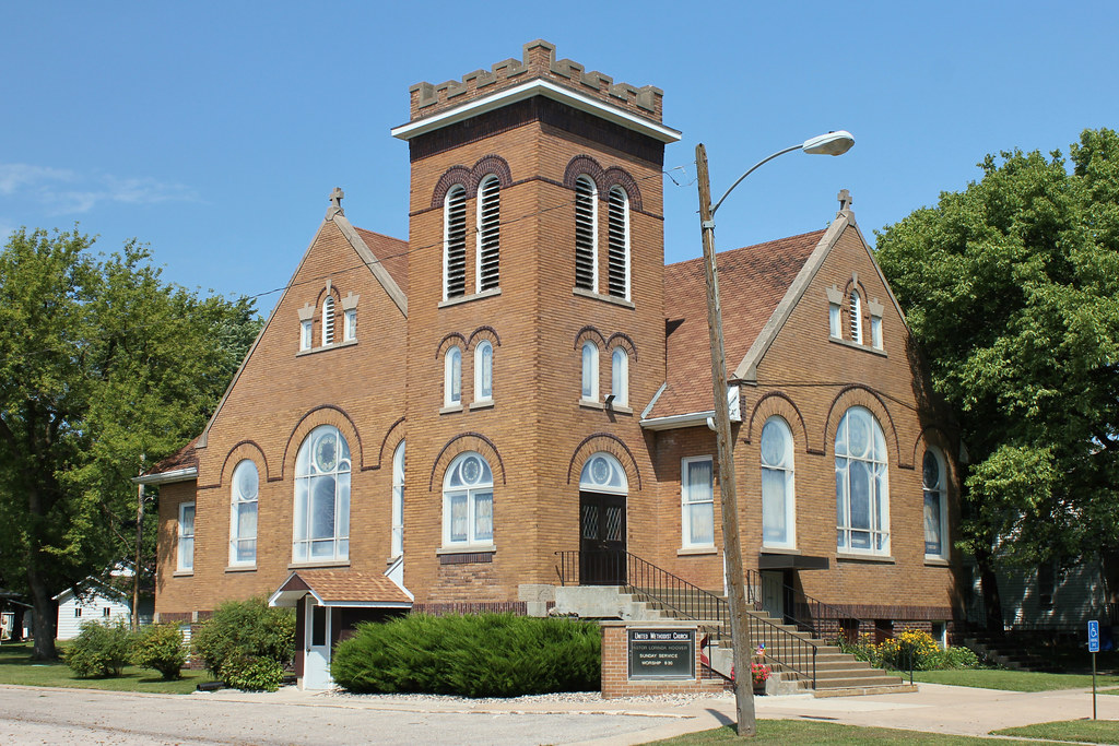
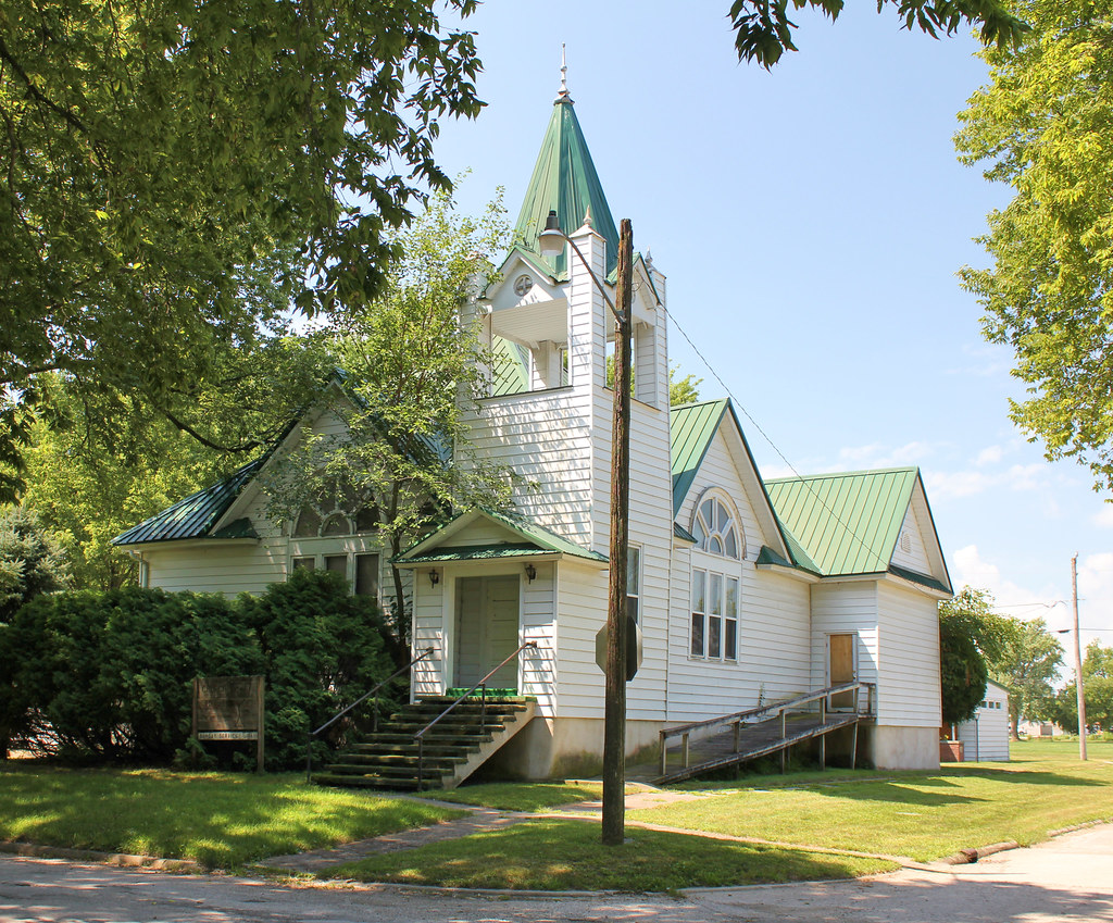
United Methodist Church - Lohrville, IA
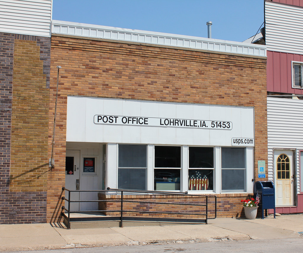
Post Office - Lohrville, IA
Downtown Building - Lohrville, IA
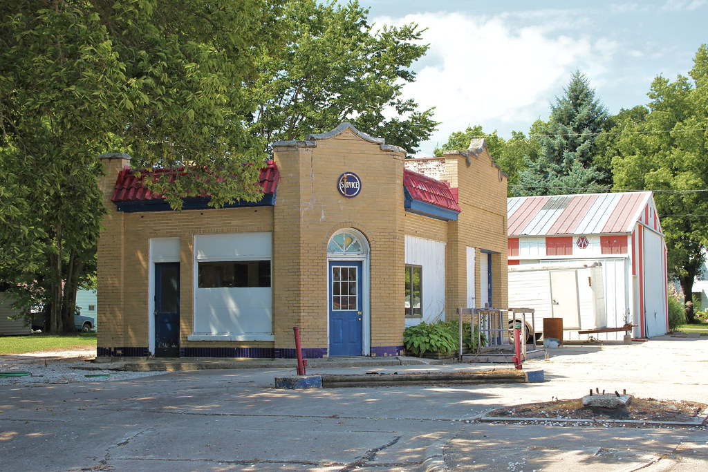
Gas Station - Lohrville, IA

Gas Station - Lohrville, IA
Church of Christ - Lohrville, IA
I.O.O.F. Hall - Lohrville, IA
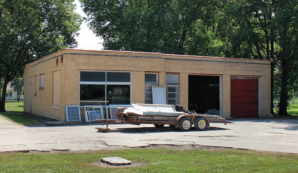
Gas Station - Lohrville, IA
Topographic Map of Lanesboro, IA, USA
Find elevation by address:

Places in Lanesboro, IA, USA:
Places near Lanesboro, IA, USA:
Heitland St, Lake City, IA, USA
Jasper
Sheridan
Glidden
Lidderdale
1st St, Carroll, IA, USA
S Idaho St, Glidden, IA, USA
Glidden
th St, Carroll, IA, USA
Ralston
2nd St, Ralston, IA, USA
Carroll County
23508 220th St
Scranton
Pleasant Valley
E 6th St, Carroll, IA, USA
Carroll
Ann Marie Riat, Pt
Scranton
Fitzpatrick St, Churdan, IA, USA
Recent Searches:
- Elevation of Corso Fratelli Cairoli, 35, Macerata MC, Italy
- Elevation of Tallevast Rd, Sarasota, FL, USA
- Elevation of 4th St E, Sonoma, CA, USA
- Elevation of Black Hollow Rd, Pennsdale, PA, USA
- Elevation of Oakland Ave, Williamsport, PA, USA
- Elevation of Pedrógão Grande, Portugal
- Elevation of Klee Dr, Martinsburg, WV, USA
- Elevation of Via Roma, Pieranica CR, Italy
- Elevation of Tavkvetili Mountain, Georgia
- Elevation of Hartfords Bluff Cir, Mt Pleasant, SC, USA