Elevation of Carroll, IA, USA
Location: United States > Iowa > Carroll County >
Longitude: -94.8672793
Latitude: 42.0655986
Elevation: 388m / 1273feet
Barometric Pressure: 0KPa
Related Photos:
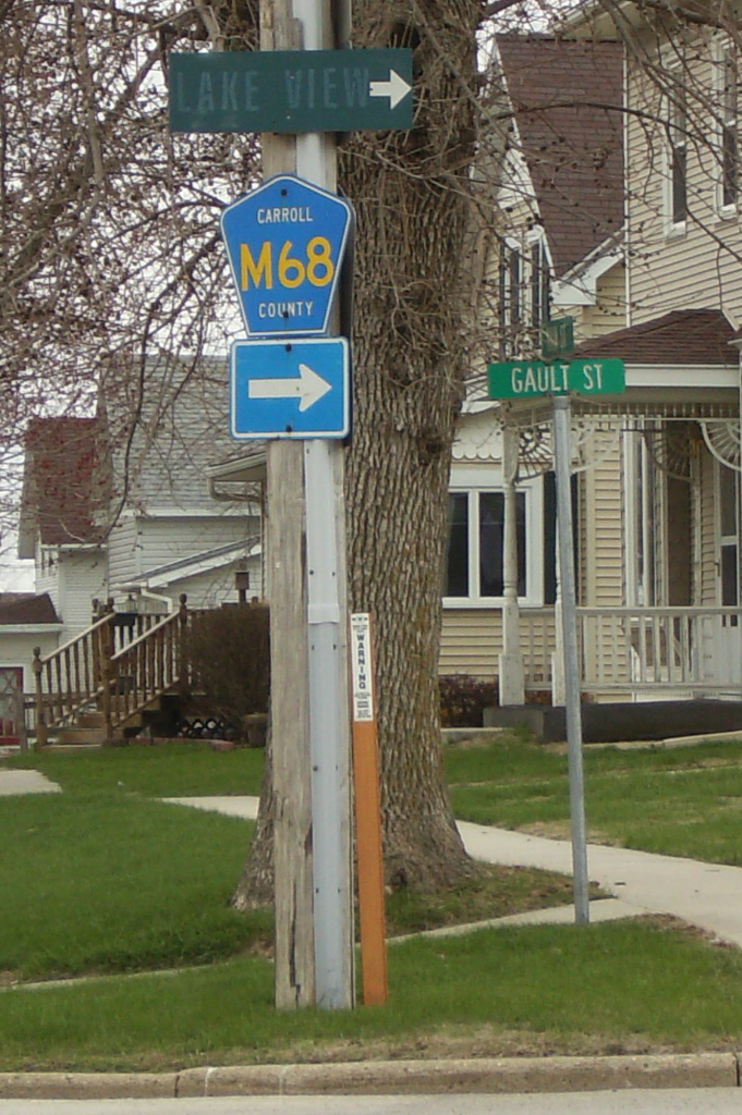
Faded sign to Lake View
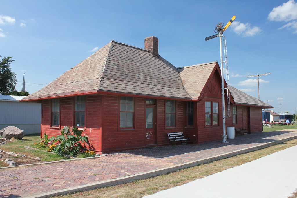
Chicago & North Western Railroad Depot - Breda, IA
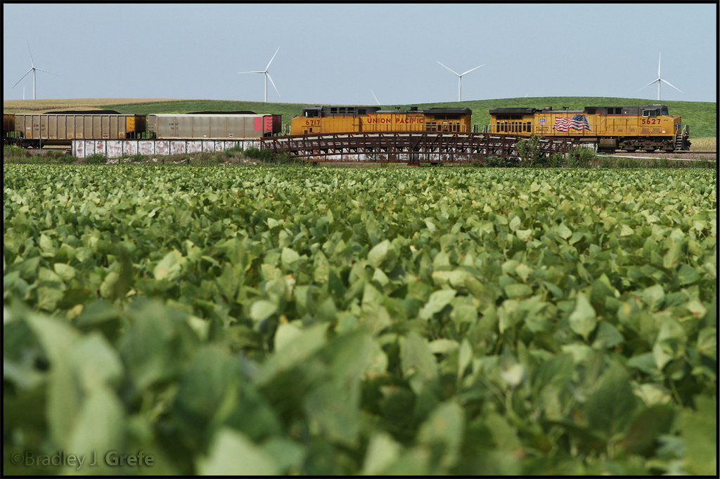
Union Pacific Environmental Ad?
Blue Steel took a picture!

Swan Lake July 2016 (1)

Swan Lake July 2016 (2)

Mom and Dad and our brood

Murphy and Mom and Dad (11)

Murphy and Doug Oct 2016

Doug sleeping Sept 2016

Sept 9 2016
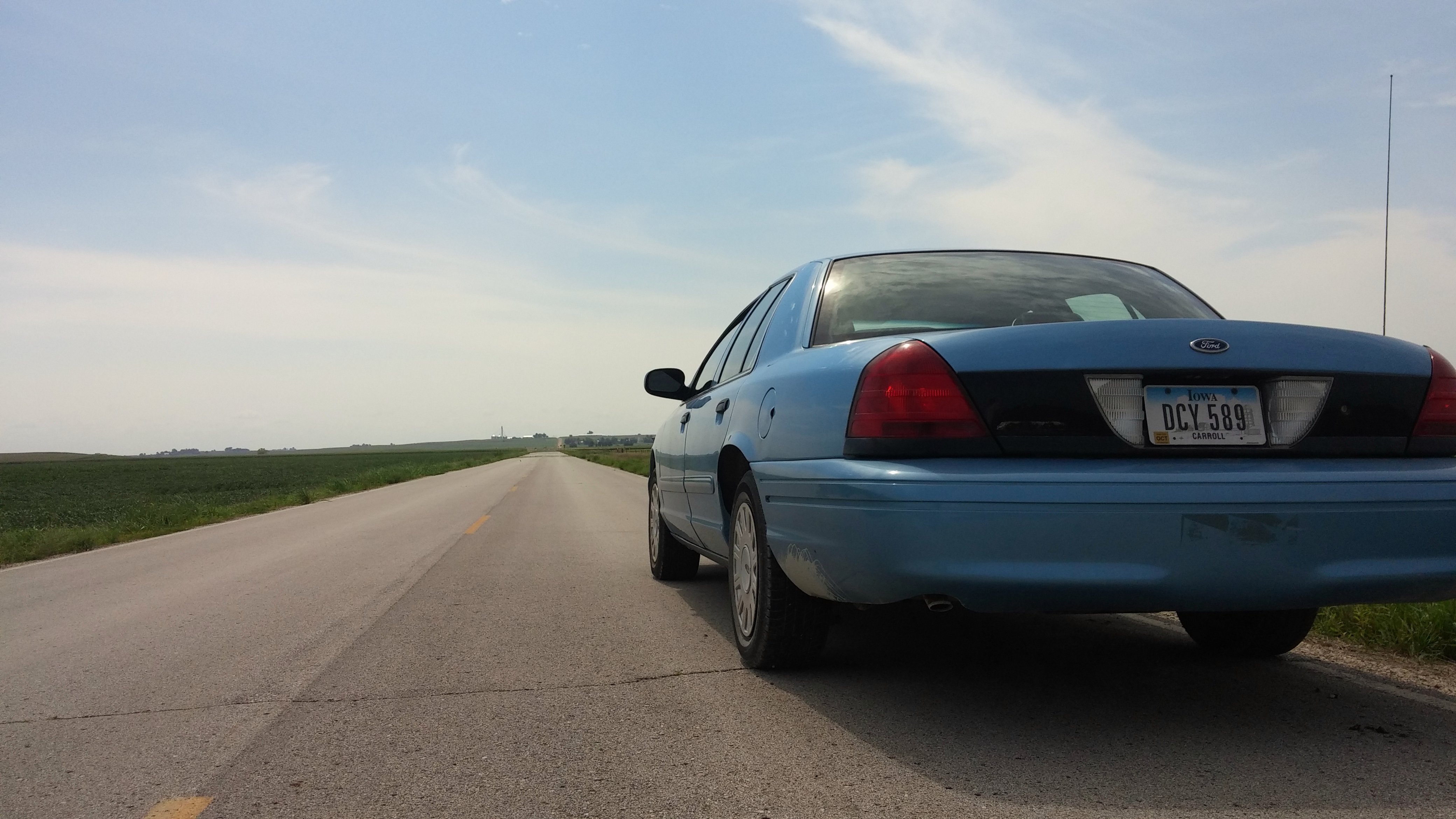
2005 Ford Crown Victoria on county road

Loading my cool vest for lawn mowing

Julie, Mary and sisters July 2016 (1)

Julie, Mary and sisters July 2016 (2)

Julie Pirahna Club July 2016 2

Julie Pirahna Club July 2016

Grandchildren June 2016 edit

Mary Jorgensen and Vern June 2016 Winery

squirrel almonds

Um...a little help, please

He's trying...

Squirrel outside our picture window

Squirrel and bird feeder
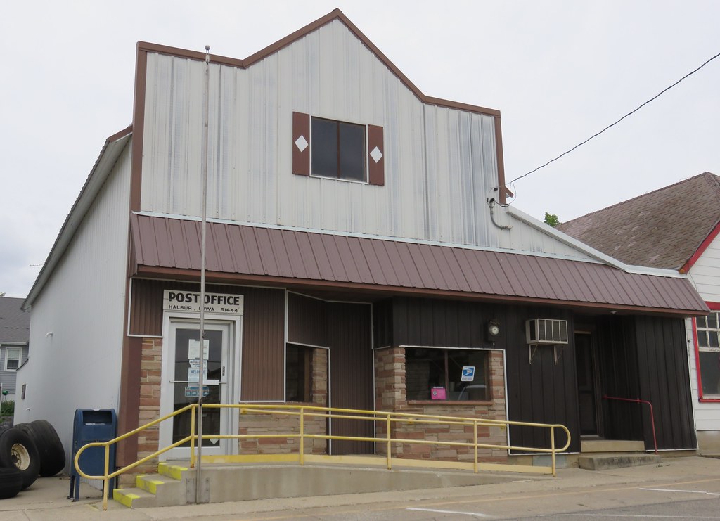
Post Office 51444 (Halbur, Iowa)
Topographic Map of Carroll, IA, USA
Find elevation by address:

Places in Carroll, IA, USA:
Places near Carroll, IA, USA:
E 6th St, Carroll, IA, USA
Ann Marie Riat, Pt
23508 220th St
Carroll County
Maple River
Guthrie St, Carroll, IA, USA
Roselle
16197 Ivy Ave
Willey
th St, Carroll, IA, USA
1st St, Carroll, IA, USA
Pleasant Valley
Lidderdale
th St, Carroll, IA, USA
3rd St, Carroll, IA, USA
Halbur
Sheridan
Glidden
S Idaho St, Glidden, IA, USA
Eden
Recent Searches:
- Elevation of 10370, West 107th Circle, Westminster, Jefferson County, Colorado, 80021, USA
- Elevation of 611, Roman Road, Old Ford, Bow, London, England, E3 2RW, United Kingdom
- Elevation of 116, Beartown Road, Underhill, Chittenden County, Vermont, 05489, USA
- Elevation of Window Rock, Colfax County, New Mexico, 87714, USA
- Elevation of 4807, Rosecroft Street, Kempsville Gardens, Virginia Beach, Virginia, 23464, USA
- Elevation map of Matawinie, Quebec, Canada
- Elevation of Sainte-Émélie-de-l'Énergie, Matawinie, Quebec, Canada
- Elevation of Rue du Pont, Sainte-Émélie-de-l'Énergie, Matawinie, Quebec, J0K2K0, Canada
- Elevation of 8, Rue de Bécancour, Blainville, Thérèse-De Blainville, Quebec, J7B1N2, Canada
- Elevation of Wilmot Court North, 163, University Avenue West, Northdale, Waterloo, Region of Waterloo, Ontario, N2L6B6, Canada
- Elevation map of Panamá Province, Panama
- Elevation of Balboa, Panamá Province, Panama
- Elevation of San Miguel, Balboa, Panamá Province, Panama
- Elevation of Isla Gibraleón, San Miguel, Balboa, Panamá Province, Panama
- Elevation of 4655, Krischke Road, Schulenburg, Fayette County, Texas, 78956, USA
- Elevation of Carnegie Avenue, Downtown Cleveland, Cleveland, Cuyahoga County, Ohio, 44115, USA
- Elevation of Walhonding, Coshocton County, Ohio, USA
- Elevation of Clifton Down, Clifton, Bristol, City of Bristol, England, BS8 3HU, United Kingdom
- Elevation map of Auvergne-Rhône-Alpes, France
- Elevation map of Upper Savoy, Auvergne-Rhône-Alpes, France