Elevation of Sheppard Mill Rd, Stokes, NC, USA
Location: United States > North Carolina > Pitt County > Carolina > Stokes >
Longitude: -77.218704
Latitude: 35.71379
Elevation: 13m / 43feet
Barometric Pressure: 101KPa
Elevation Map:
Satellite Map:
Related Photos:
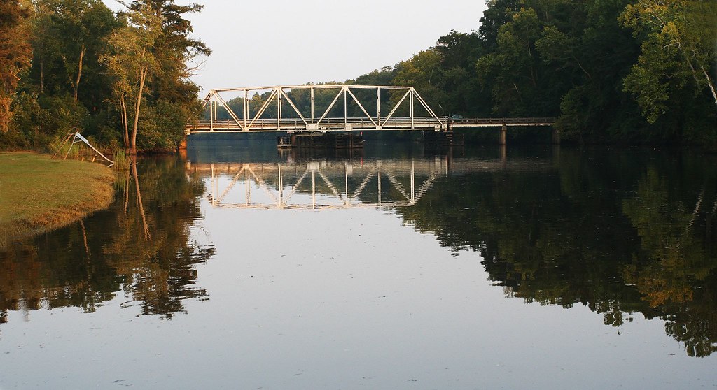
Seine Beach / Bridge to 264
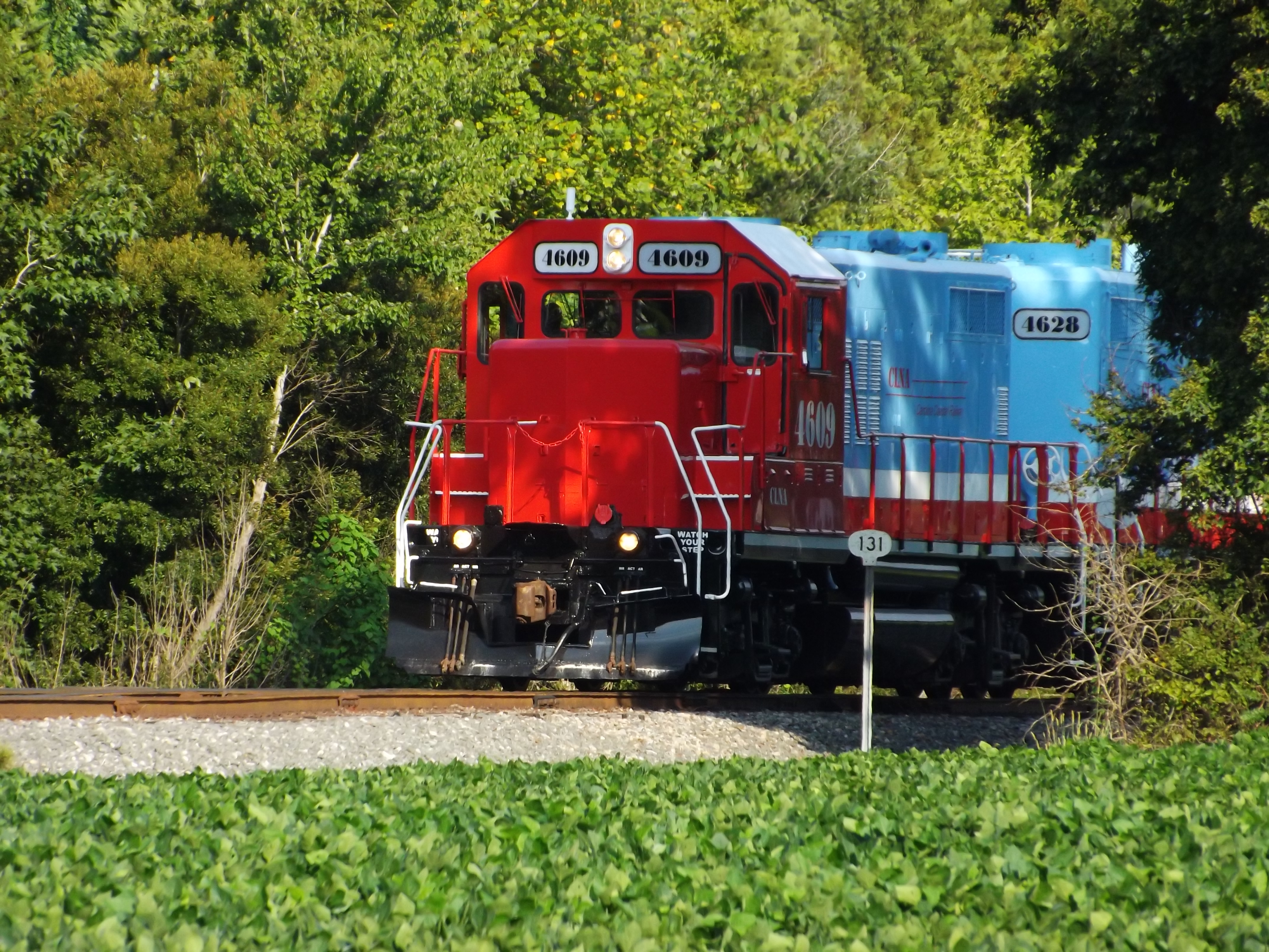
CLNA 120-10

Ruby Throated Hummingbird

Tree Frog Sleeping
Topographic Map of Sheppard Mill Rd, Stokes, NC, USA
Find elevation by address:

Places near Sheppard Mill Rd, Stokes, NC, USA:
Stokes
Carolina
North Carolina 30
1210 Jack Cowan Rd
Leggett Mill Rd, Williamston, NC, USA
2302 Rogerson Rd
State Rd, Bear Grass, NC, USA
Bear Grass
Cherry Lane
Cross Roads
307 Anderson Dr
307 Anderson Dr
Beargrass
Robersonville
Robersonville
5757 Nc-30
Everetts
128 E Main St
1129 Beulah Ln
Parmele
Recent Searches:
- Elevation of Corso Fratelli Cairoli, 35, Macerata MC, Italy
- Elevation of Tallevast Rd, Sarasota, FL, USA
- Elevation of 4th St E, Sonoma, CA, USA
- Elevation of Black Hollow Rd, Pennsdale, PA, USA
- Elevation of Oakland Ave, Williamsport, PA, USA
- Elevation of Pedrógão Grande, Portugal
- Elevation of Klee Dr, Martinsburg, WV, USA
- Elevation of Via Roma, Pieranica CR, Italy
- Elevation of Tavkvetili Mountain, Georgia
- Elevation of Hartfords Bluff Cir, Mt Pleasant, SC, USA