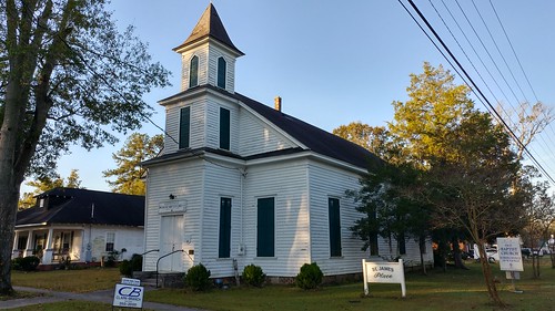
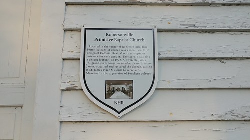
Elevation of Rogerson Rd, Robersonville, NC, USA
Location: United States > North Carolina > Martin County > Robersonville > Robersonville >
Longitude: -77.266371
Latitude: 35.7946402
Elevation: 20m / 66feet
Barometric Pressure: 101KPa
Related Photos:
Topographic Map of Rogerson Rd, Robersonville, NC, USA
Find elevation by address:

Places near Rogerson Rd, Robersonville, NC, USA:
Robersonville
307 Anderson Dr
307 Anderson Dr
Robersonville
Parmele
Carolina
5757 Nc-30
North Carolina 30
Stokes
Leggett Mill Rd, Williamston, NC, USA
3779 Sheppard Mill Rd
Cross Roads
Everetts
128 E Main St
1210 Jack Cowan Rd
State Rd, Bear Grass, NC, USA
Bear Grass
13484 Us-64
Cherry Lane
1129 Beulah Ln
Recent Searches:
- Elevation of Corso Fratelli Cairoli, 35, Macerata MC, Italy
- Elevation of Tallevast Rd, Sarasota, FL, USA
- Elevation of 4th St E, Sonoma, CA, USA
- Elevation of Black Hollow Rd, Pennsdale, PA, USA
- Elevation of Oakland Ave, Williamsport, PA, USA
- Elevation of Pedrógão Grande, Portugal
- Elevation of Klee Dr, Martinsburg, WV, USA
- Elevation of Via Roma, Pieranica CR, Italy
- Elevation of Tavkvetili Mountain, Georgia
- Elevation of Hartfords Bluff Cir, Mt Pleasant, SC, USA


