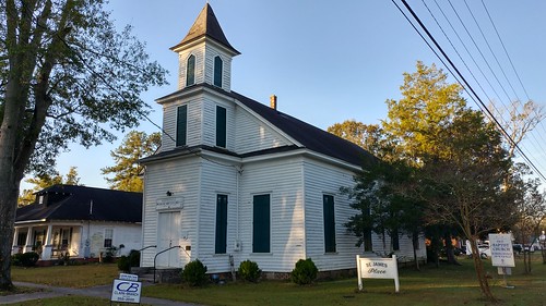
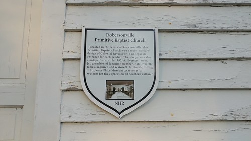
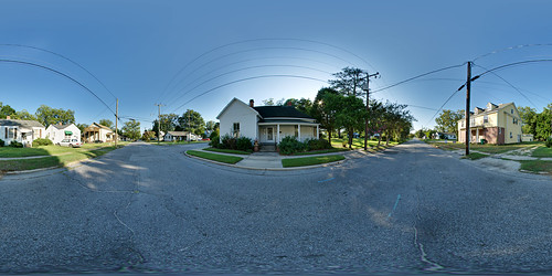
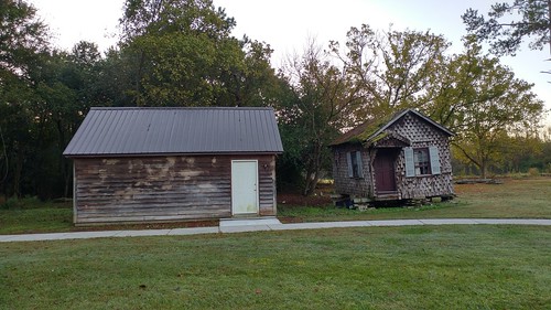
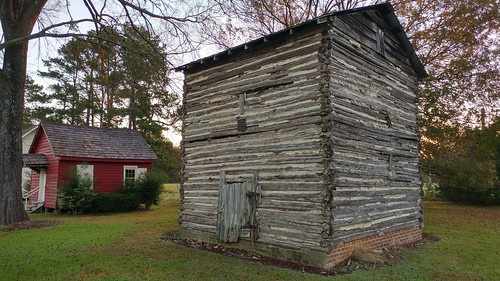
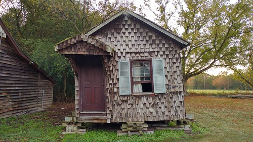
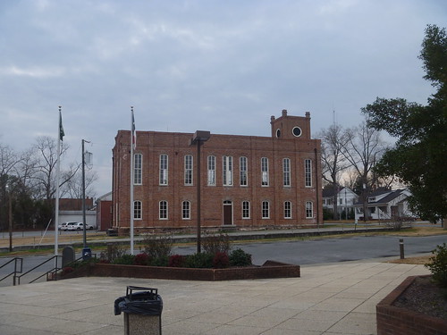
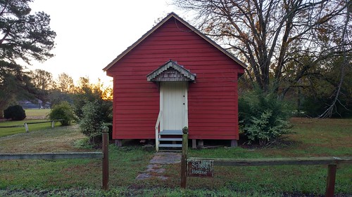
Elevation of Jack Cowan Rd, Williamston, NC, USA
Location: United States > North Carolina > Martin County > Bear Grass >
Longitude: -77.154875
Latitude: 35.7519252
Elevation: 14m / 46feet
Barometric Pressure: 101KPa
Related Photos:
Topographic Map of Jack Cowan Rd, Williamston, NC, USA
Find elevation by address:

Places near Jack Cowan Rd, Williamston, NC, USA:
State Rd, Bear Grass, NC, USA
Bear Grass
Cherry Lane
Beargrass
Leggett Mill Rd, Williamston, NC, USA
1129 Beulah Ln
Cross Roads
3779 Sheppard Mill Rd
Joe Mobley Rd, Williamston, NC, USA
1051 White Rd
128 E Main St
Everetts
13484 Us-64
8005 U.s. 64 Alternate
1123 Mimosa Ln
Carolina
1080 White Oak Dr
1180 White Oak Dr
Stokes
1261 Fairway Dr
Recent Searches:
- Elevation of Corso Fratelli Cairoli, 35, Macerata MC, Italy
- Elevation of Tallevast Rd, Sarasota, FL, USA
- Elevation of 4th St E, Sonoma, CA, USA
- Elevation of Black Hollow Rd, Pennsdale, PA, USA
- Elevation of Oakland Ave, Williamsport, PA, USA
- Elevation of Pedrógão Grande, Portugal
- Elevation of Klee Dr, Martinsburg, WV, USA
- Elevation of Via Roma, Pieranica CR, Italy
- Elevation of Tavkvetili Mountain, Georgia
- Elevation of Hartfords Bluff Cir, Mt Pleasant, SC, USA
