Elevation of Mimosa Ln, Williamston, NC, USA
Location: United States > North Carolina > Williamston >
Longitude: -77.063484
Latitude: 35.8082445
Elevation: 15m / 49feet
Barometric Pressure: 101KPa
Elevation Map:
Satellite Map:
Related Photos:
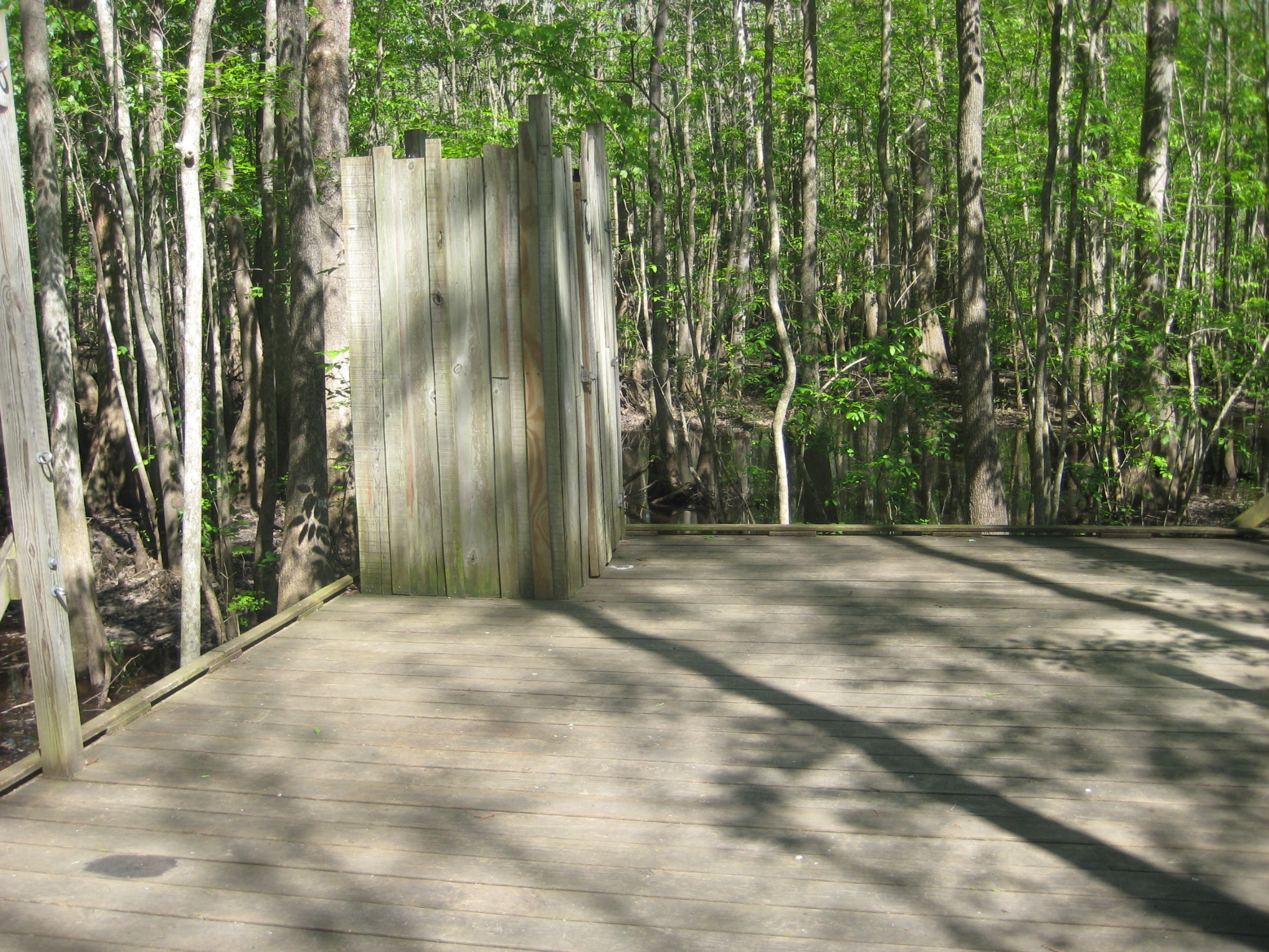
The necessary room is literally four walls, a floor, and a latch. That's it. Oh, but the view.
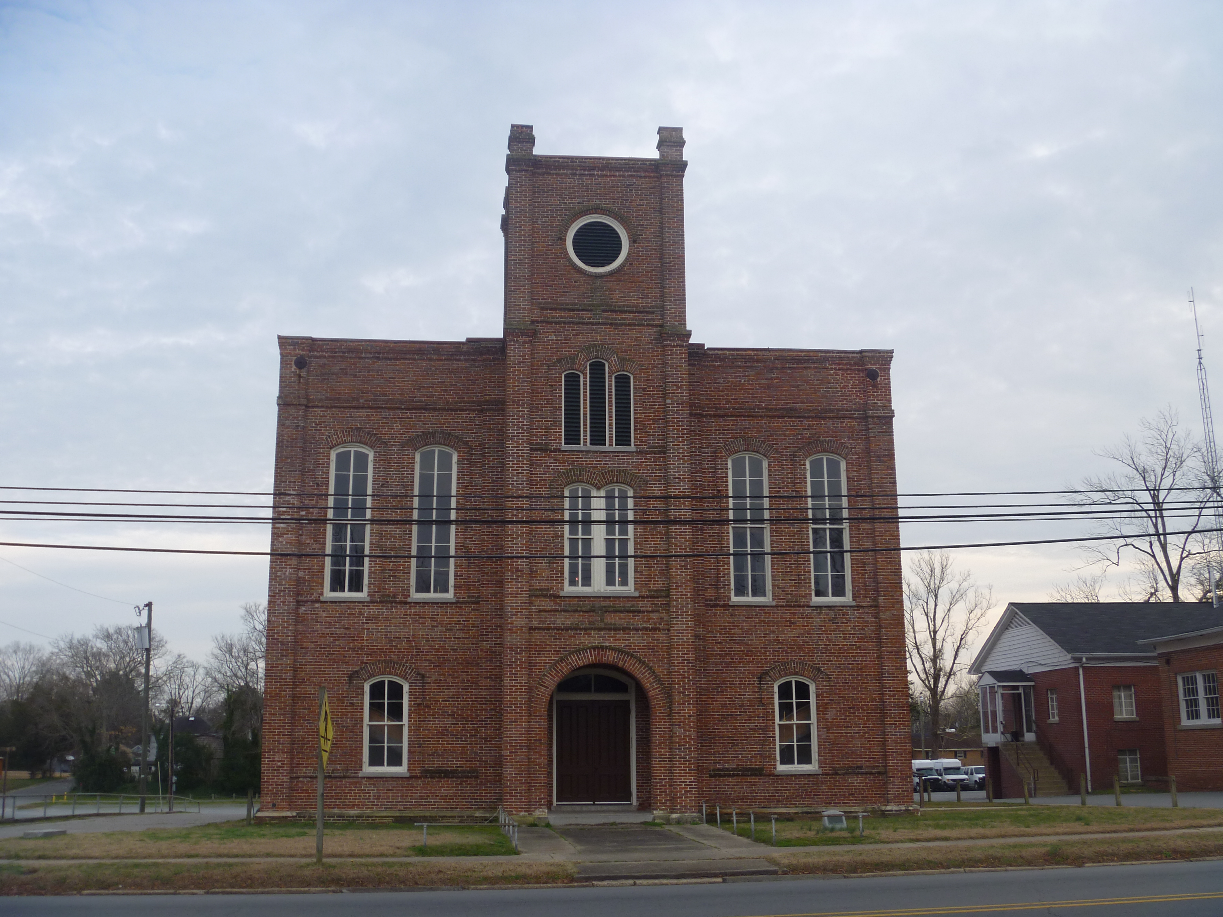
Old Martin County Courthouse, Williamston NC
215 Watts St.
Old Martin County Courthouse, Williamston NC
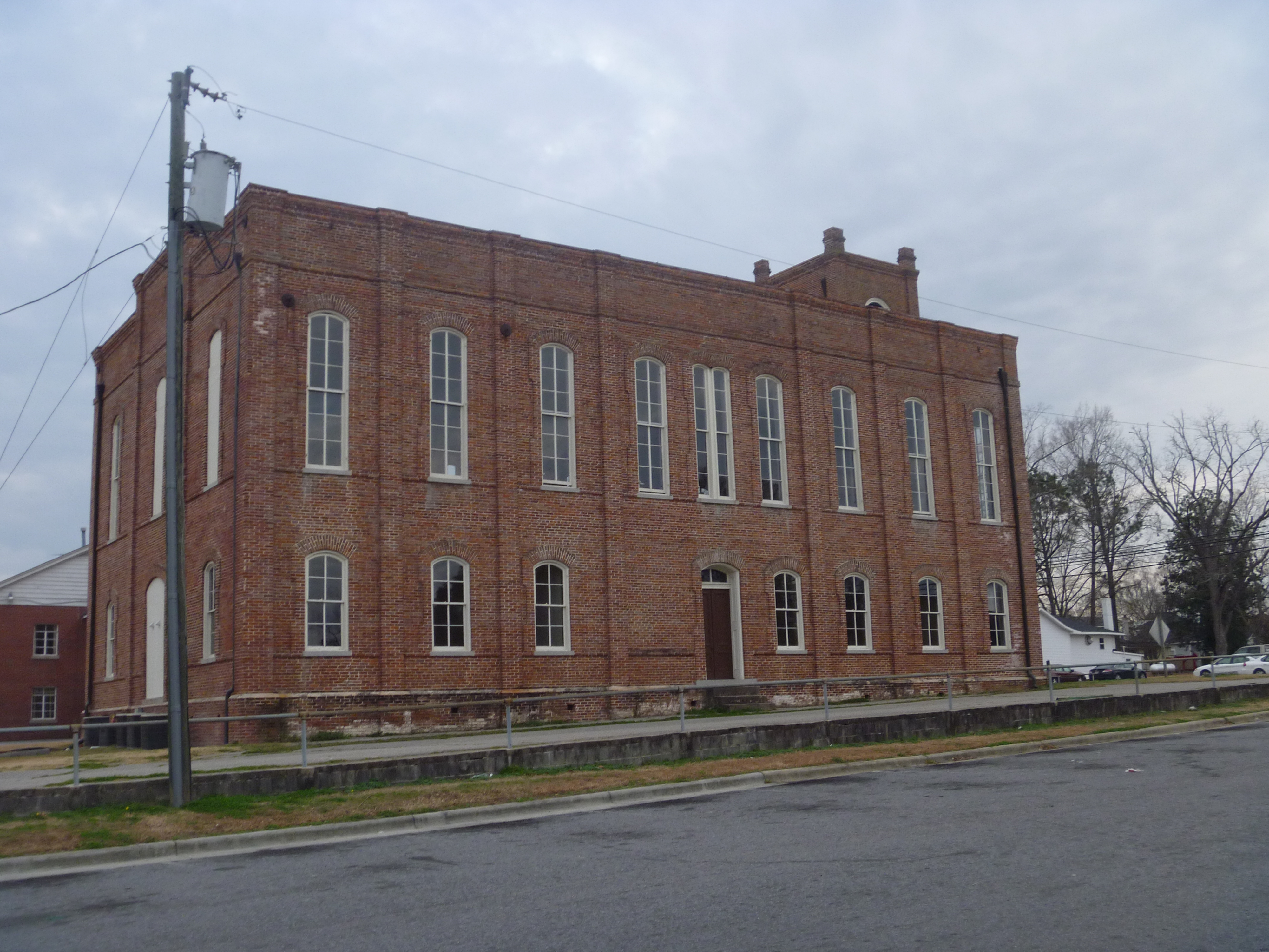
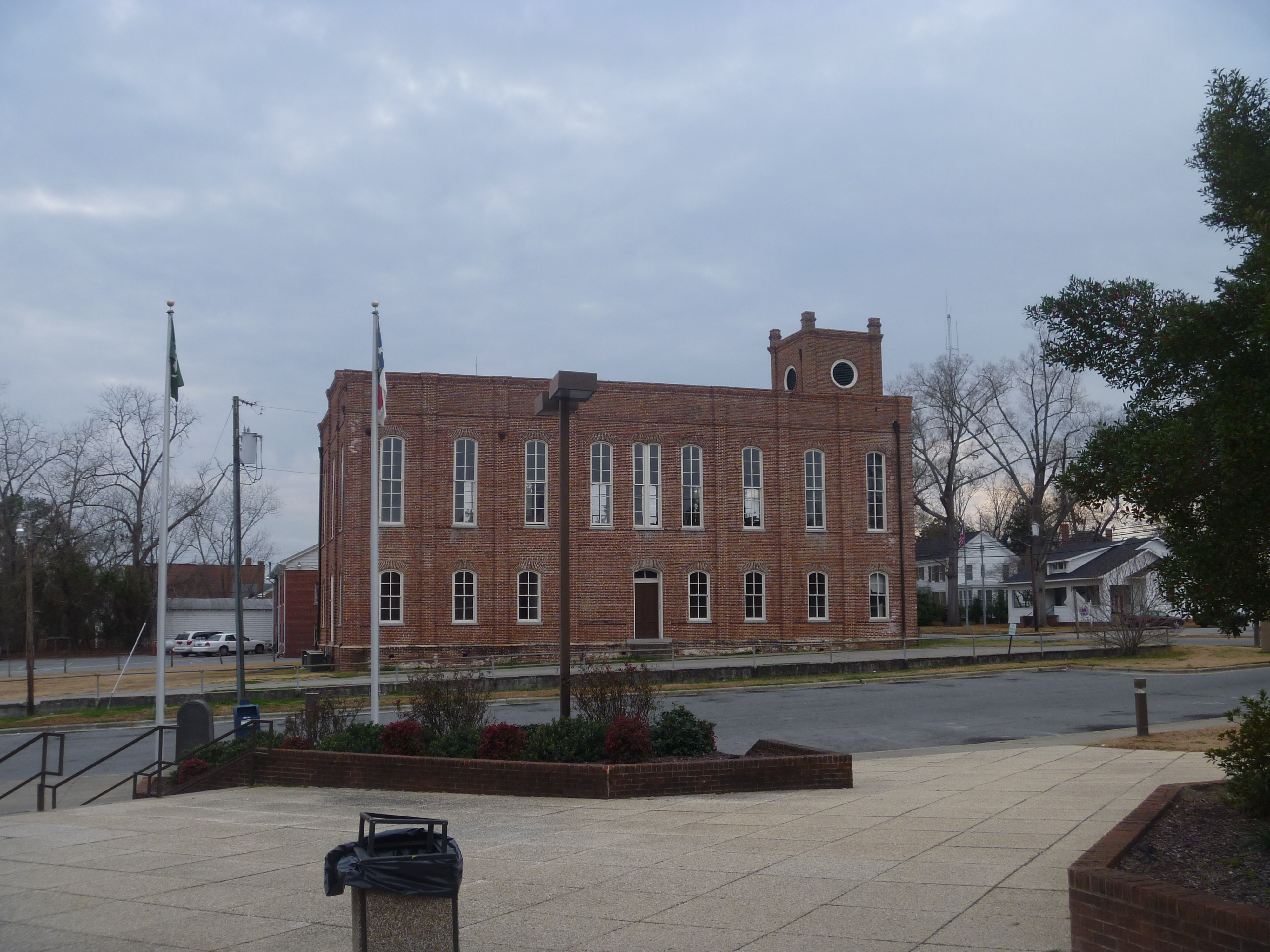
Side View Of The Old Martin County Courthouse, Williamston NC
coming in to the campsite
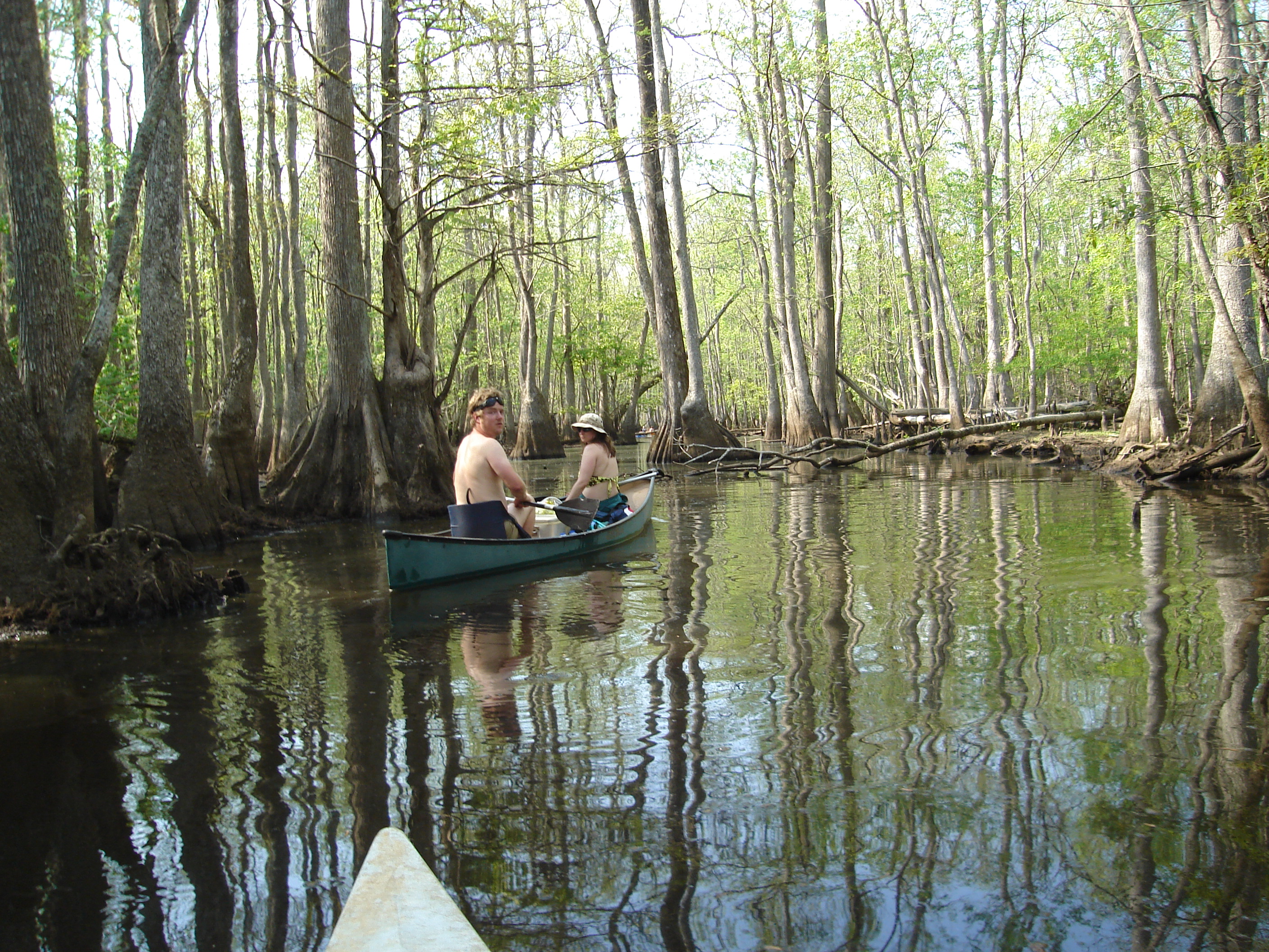
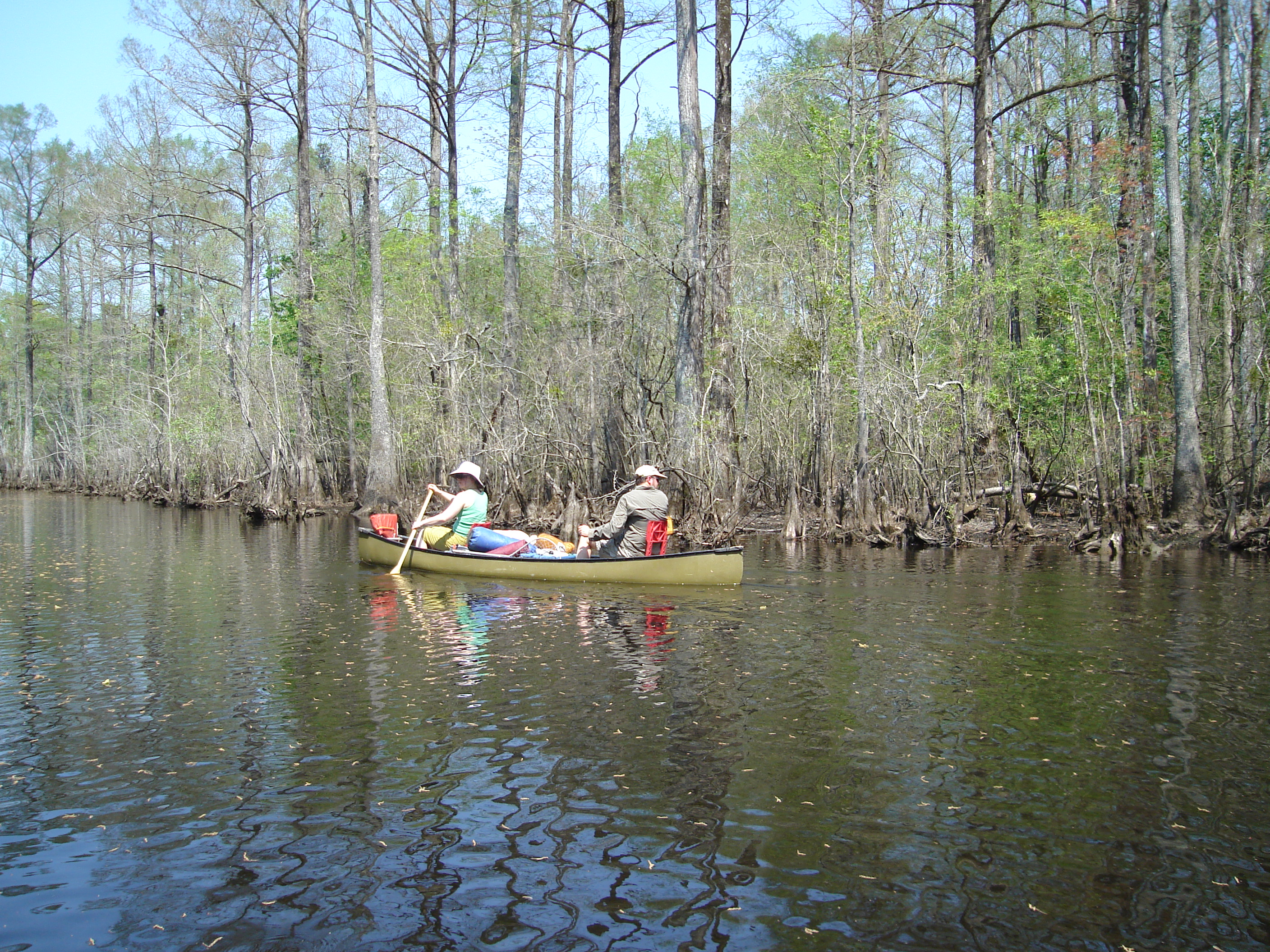
canoe trip
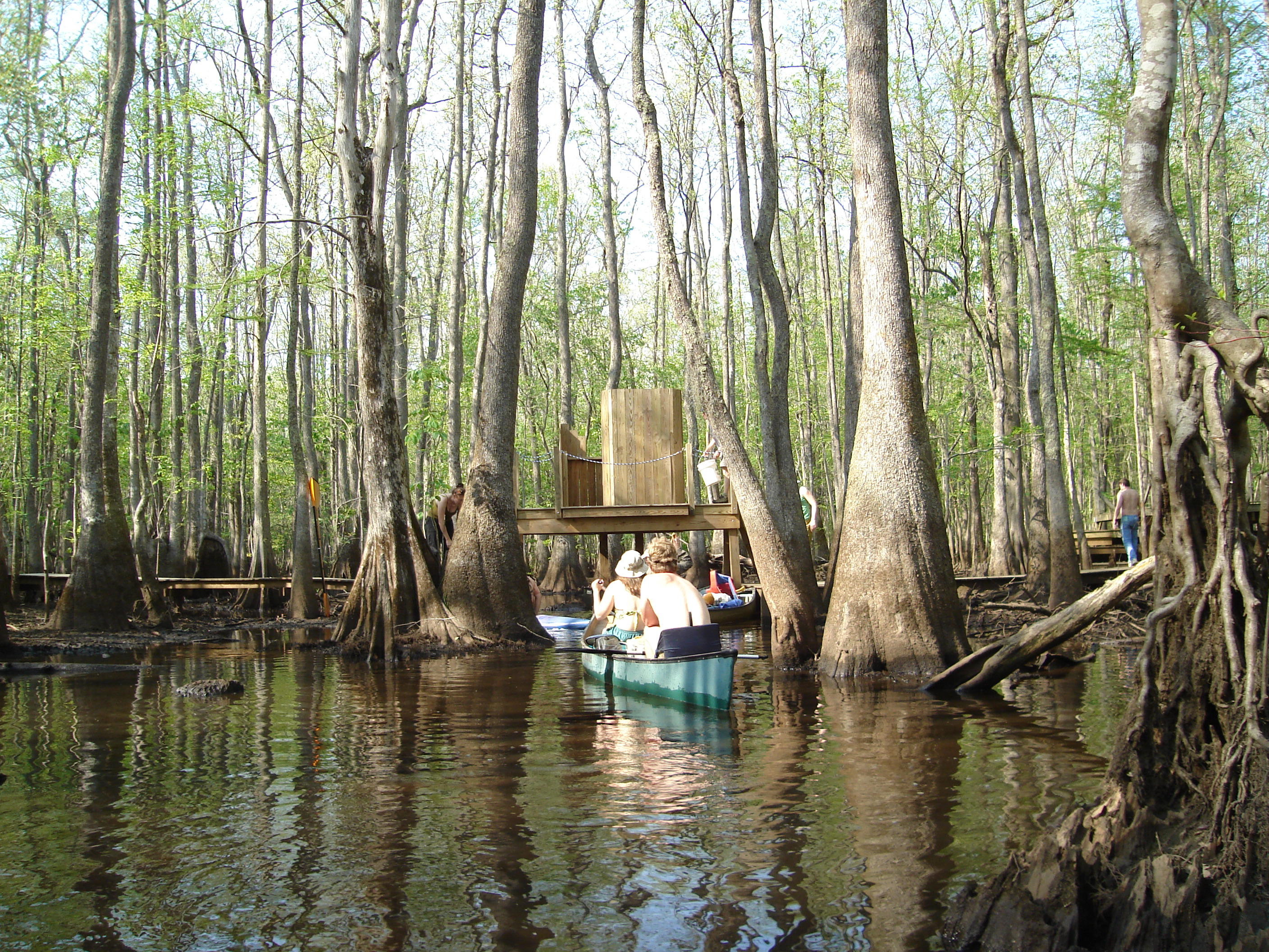
that tall thing is the "toilet"
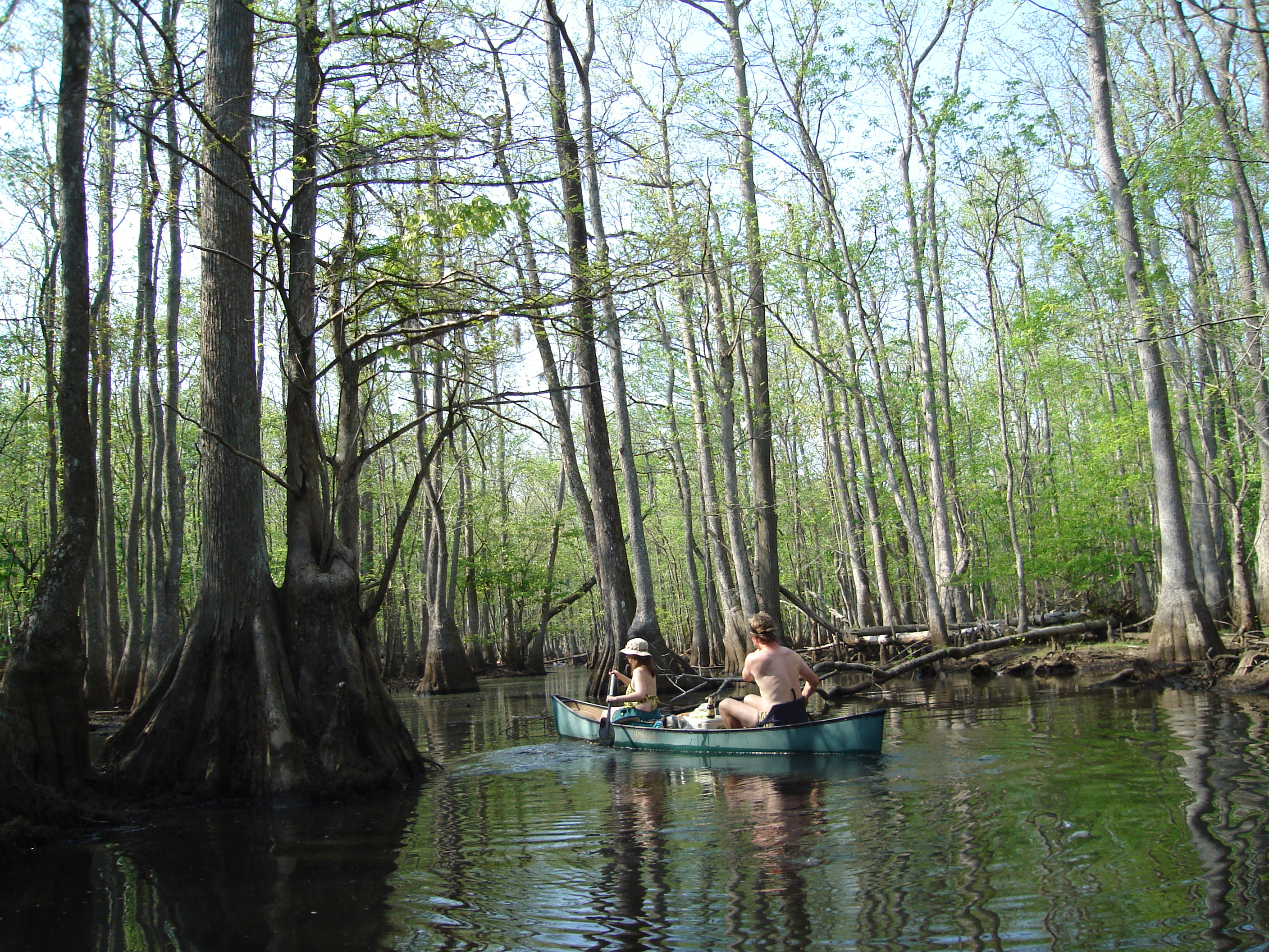
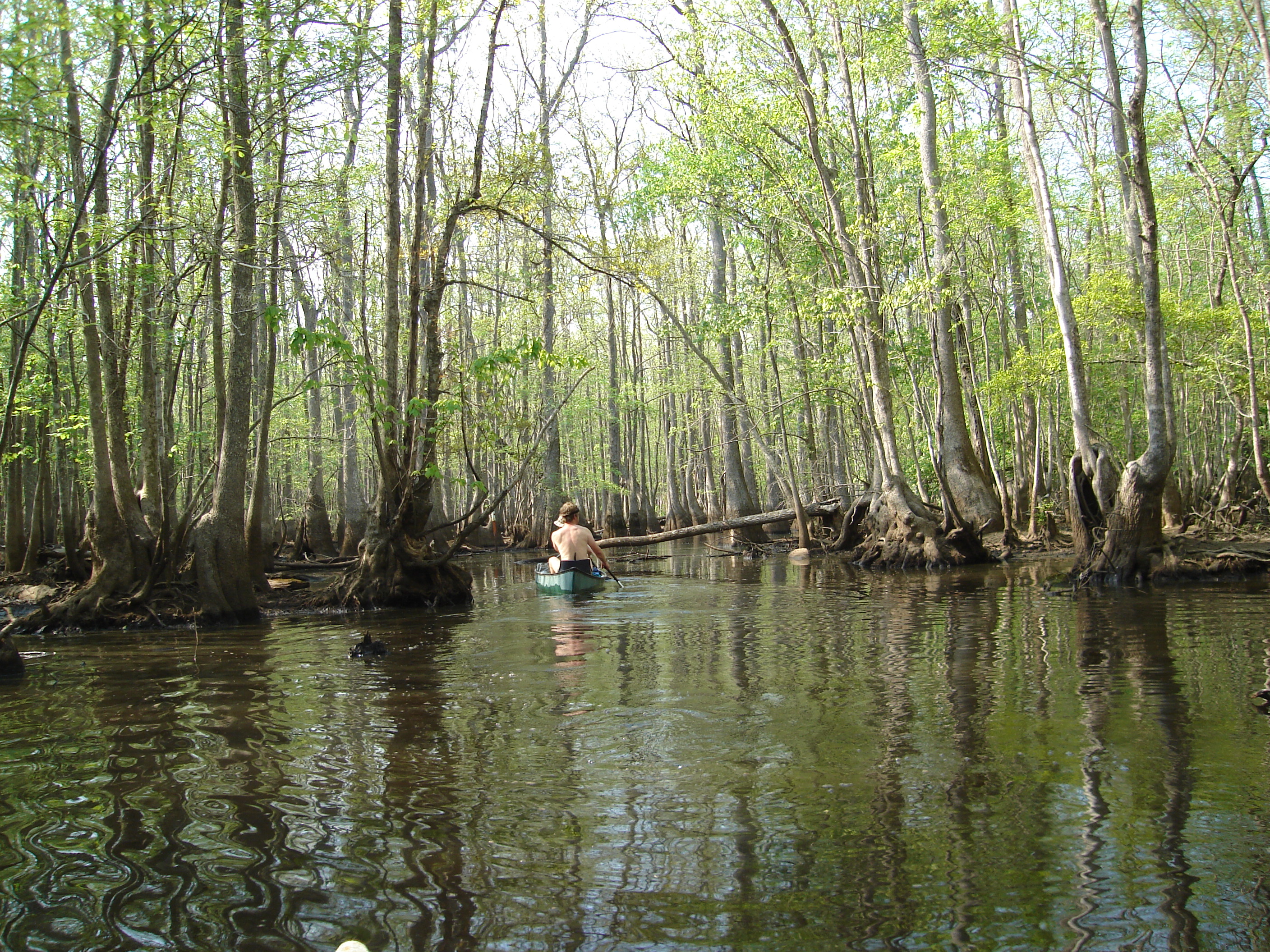
cypress swamp
more canoes

Roanoke River National Wildlife Refuge

Roanoke River National Wildlife Refuge

Roanoke River National Wildlife Refuge
Topographic Map of Mimosa Ln, Williamston, NC, USA
Find elevation by address:

Places near Mimosa Ln, Williamston, NC, USA:
1080 White Oak Dr
1180 White Oak Dr
1261 Fairway Dr
1051 White Rd
103 West Blvd
205 Park Dr
901 Hyland Ave
1177 Reddicks Grove Church Rd
1180 Holly Springs Loop Rd
Williamston
19565 Us-64
112 Weaver Dr
112 Weaver Dr
West Church Street
200 S Smithwick St
Williamston
Williamston Town Hall
8005 U.s. 64 Alternate
204 Halifax St
1129 Beulah Ln
Recent Searches:
- Elevation of Corso Fratelli Cairoli, 35, Macerata MC, Italy
- Elevation of Tallevast Rd, Sarasota, FL, USA
- Elevation of 4th St E, Sonoma, CA, USA
- Elevation of Black Hollow Rd, Pennsdale, PA, USA
- Elevation of Oakland Ave, Williamsport, PA, USA
- Elevation of Pedrógão Grande, Portugal
- Elevation of Klee Dr, Martinsburg, WV, USA
- Elevation of Via Roma, Pieranica CR, Italy
- Elevation of Tavkvetili Mountain, Georgia
- Elevation of Hartfords Bluff Cir, Mt Pleasant, SC, USA