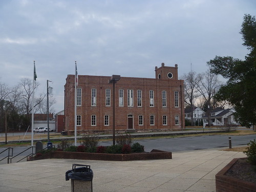
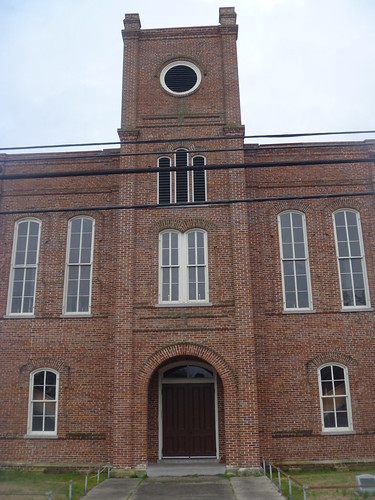
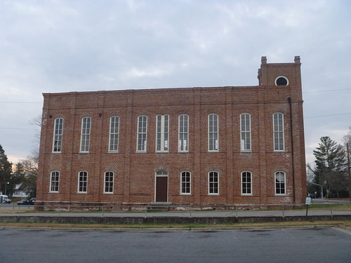
Elevation of Williamston Town Hall, E Main St, Williamston, NC, USA
Location: United States > North Carolina > Williamston >
Longitude: -77.0548723
Latitude: 35.8556273
Elevation: 21m / 69feet
Barometric Pressure: 0KPa
Related Photos:
Topographic Map of Williamston Town Hall, E Main St, Williamston, NC, USA
Find elevation by address:

Places near Williamston Town Hall, E Main St, Williamston, NC, USA:
Williamston
200 S Smithwick St
204 Halifax St
West Church Street
901 Hyland Ave
103 West Blvd
205 Park Dr
112 Weaver Dr
112 Weaver Dr
Williamston
1261 Fairway Dr
1180 Holly Springs Loop Rd
19565 Us-64
1180 White Oak Dr
1080 White Oak Dr
1123 Mimosa Ln
1177 Reddicks Grove Church Rd
8005 U.s. 64 Alternate
13484 Us-64
1051 White Rd
Recent Searches:
- Elevation map of Greenland, Greenland
- Elevation of Sullivan Hill, New York, New York, 10002, USA
- Elevation of Morehead Road, Withrow Downs, Charlotte, Mecklenburg County, North Carolina, 28262, USA
- Elevation of 2800, Morehead Road, Withrow Downs, Charlotte, Mecklenburg County, North Carolina, 28262, USA
- Elevation of Yangbi Yi Autonomous County, Yunnan, China
- Elevation of Pingpo, Yangbi Yi Autonomous County, Yunnan, China
- Elevation of Mount Malong, Pingpo, Yangbi Yi Autonomous County, Yunnan, China
- Elevation map of Yongping County, Yunnan, China
- Elevation of North 8th Street, Palatka, Putnam County, Florida, 32177, USA
- Elevation of 107, Big Apple Road, East Palatka, Putnam County, Florida, 32131, USA
- Elevation of Jiezi, Chongzhou City, Sichuan, China
- Elevation of Chongzhou City, Sichuan, China
- Elevation of Huaiyuan, Chongzhou City, Sichuan, China
- Elevation of Qingxia, Chengdu, Sichuan, China
- Elevation of Corso Fratelli Cairoli, 35, Macerata MC, Italy
- Elevation of Tallevast Rd, Sarasota, FL, USA
- Elevation of 4th St E, Sonoma, CA, USA
- Elevation of Black Hollow Rd, Pennsdale, PA, USA
- Elevation of Oakland Ave, Williamsport, PA, USA
- Elevation of Pedrógão Grande, Portugal
