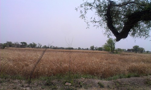
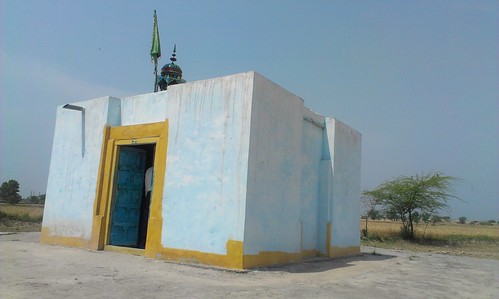
Elevation of Sheikh Kalu, Faisalabad, Punjab, Pakistan
Location: Pakistan > Punjab > Faisalabad > Jaranwala >
Longitude: 73.3782377
Latitude: 31.1703611
Elevation: 185m / 607feet
Barometric Pressure: 99KPa
Related Photos:
Topographic Map of Sheikh Kalu, Faisalabad, Punjab, Pakistan
Find elevation by address:

Places near Sheikh Kalu, Faisalabad, Punjab, Pakistan:
Graves Mirza Sahiban
Hydar Garden Park (www.pmat.pk)
Jaranwala
Jaranwala
Faisalabad
Forest Park
Faisalabad
Dc Park
Nankana Sahib
Nankana Sahib
Chandar Kot
Nankana Sahib
Changa Manga
Changa Manga Forest Park
Mehtabi Lake
Kasur
Sheikhupura
Qadirabad-bulloki Link Canal
Ghanaike
Issar Kay
Recent Searches:
- Elevation of Corso Fratelli Cairoli, 35, Macerata MC, Italy
- Elevation of Tallevast Rd, Sarasota, FL, USA
- Elevation of 4th St E, Sonoma, CA, USA
- Elevation of Black Hollow Rd, Pennsdale, PA, USA
- Elevation of Oakland Ave, Williamsport, PA, USA
- Elevation of Pedrógão Grande, Portugal
- Elevation of Klee Dr, Martinsburg, WV, USA
- Elevation of Via Roma, Pieranica CR, Italy
- Elevation of Tavkvetili Mountain, Georgia
- Elevation of Hartfords Bluff Cir, Mt Pleasant, SC, USA


