Elevation of Jaranwala, Faisalabad, Punjab, Pakistan
Location: Pakistan > Punjab > Faisalabad > Jaranwala >
Longitude: 73.4298073
Latitude: 31.3453951
Elevation: 188m / 617feet
Barometric Pressure: 99KPa
Elevation Map:
Satellite Map:
Related Photos:

Village View (Great Punjab)

(Birth Place Of Bhagat Singh) View Of Village From Road, Chak No. 105, Banga village, Tehsil Jaranwala District Lyallpur West Punjab

Great Punjab

Raw Bricks

Dera, Jaranwala Road Lyallpur West Punjab

Village Life

Wheat Crop

#mountain #Clouds #Beautiful #Tree #Nature #Pakistan #landscape #Nature #BeautifulPakistan #travel #photography
#mountain #Clouds #Beautiful #Tree #Nature #Pakistan #landscape #Nature #BeautifulPakistan

#heaven #paradise #Paradise-on-Earth #mountain #Clouds #Beautiful #Tree #Nature #Pakistan #landscape #Nature #BeautifulPakistan #travel #photography

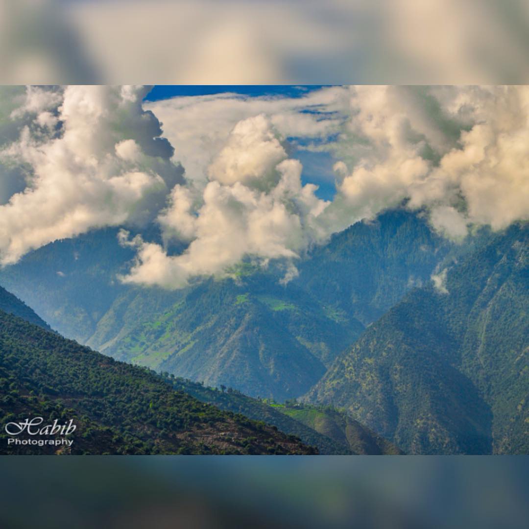
Babusar Pass or Babusar Top (el. 4173 m./13,691 ft.) is a mountain pass at the north of the 150 km. (93 miles) long Kaghan Valley connecting it via the Thak Nala with Chilas on the Karakoram Highway (KKH). It is the highest point in the Kaghan Valley.
Topographic Map of Jaranwala, Faisalabad, Punjab, Pakistan
Find elevation by address:

Places near Jaranwala, Faisalabad, Punjab, Pakistan:
Hydar Garden Park (www.pmat.pk)
Jaranwala
Graves Mirza Sahiban
Sheikh Kalu
Faisalabad
Forest Park
Dc Park
Nankana Sahib
Faisalabad
Chandar Kot
Nankana Sahib
Nankana Sahib
Changa Manga
Sheikhupura
Qadirabad-bulloki Link Canal
Issar Kay
Changa Manga Forest Park
Mehtabi Lake
Joyland Park
Hiran Minar Tomb
Recent Searches:
- Elevation of Corso Fratelli Cairoli, 35, Macerata MC, Italy
- Elevation of Tallevast Rd, Sarasota, FL, USA
- Elevation of 4th St E, Sonoma, CA, USA
- Elevation of Black Hollow Rd, Pennsdale, PA, USA
- Elevation of Oakland Ave, Williamsport, PA, USA
- Elevation of Pedrógão Grande, Portugal
- Elevation of Klee Dr, Martinsburg, WV, USA
- Elevation of Via Roma, Pieranica CR, Italy
- Elevation of Tavkvetili Mountain, Georgia
- Elevation of Hartfords Bluff Cir, Mt Pleasant, SC, USA