Elevation of Jaranwala, Faisalabad, Punjab, Pakistan
Location: Pakistan > Punjab > Faisalabad >
Longitude: 73.3708696
Latitude: 31.3487025
Elevation: 188m / 617feet
Barometric Pressure: 99KPa
Related Photos:

(Birth Place Of Bhagat Singh) View Of Village From Road, Chak No. 105, Banga village, Tehsil Jaranwala District Lyallpur West Punjab

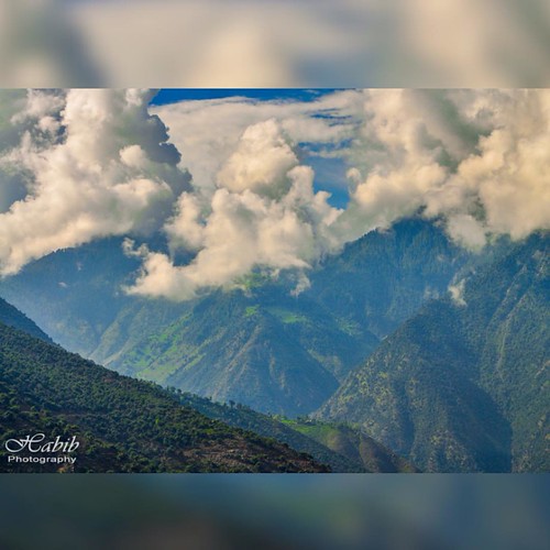
#mountain #Clouds #Beautiful #Tree #Nature #Pakistan #landscape #Nature #BeautifulPakistan #travel #photography
Topographic Map of Jaranwala, Faisalabad, Punjab, Pakistan
Find elevation by address:

Places in Jaranwala, Faisalabad, Punjab, Pakistan:
Places near Jaranwala, Faisalabad, Punjab, Pakistan:
Hydar Garden Park (www.pmat.pk)
Jaranwala
Graves Mirza Sahiban
Sheikh Kalu
Faisalabad
Forest Park
Faisalabad
Dc Park
Nankana Sahib
Chandar Kot
Nankana Sahib
Nankana Sahib
Qadirabad-bulloki Link Canal
Sheikhupura
Changa Manga
Issar Kay
Changa Manga Forest Park
Mehtabi Lake
Joyland Park
Hiran Minar Tomb
Recent Searches:
- Elevation of Corso Fratelli Cairoli, 35, Macerata MC, Italy
- Elevation of Tallevast Rd, Sarasota, FL, USA
- Elevation of 4th St E, Sonoma, CA, USA
- Elevation of Black Hollow Rd, Pennsdale, PA, USA
- Elevation of Oakland Ave, Williamsport, PA, USA
- Elevation of Pedrógão Grande, Portugal
- Elevation of Klee Dr, Martinsburg, WV, USA
- Elevation of Via Roma, Pieranica CR, Italy
- Elevation of Tavkvetili Mountain, Georgia
- Elevation of Hartfords Bluff Cir, Mt Pleasant, SC, USA


